

Belling Hill
Good walks are even better shared.
NT6411 : Belling Hill
Richard Webb Photo source
Overview
Belling Hill
Overview
Belling Hill, standing at a proud 305 meters, is a Marilyn nestled within the stunning North Yorkshire Moors. This modest elevation, coupled with its prominent position, makes it a favourite among local hikers and those looking to enjoy Yorkshire's great outdoors.
Geology
Belling Hill boasts a fascinating geological profile, primarily composed of layers of sandstone. The unique formations can offer an intriguing glance at the region's history, with limestone features scattered about—perfect for a bit of rock gazing or an impromptu geology lecture at the top!
Routes
The most popular route to the summit is the Belling Hill Circular Walk starting from Hawnby. This 8.5 km trek will take you roughly 3.5 hours, offering a splendid mix of woodland and moorland. Moderate in difficulty, it’s accessible for most hikers looking for a pleasant outing amidst remarkable scenery.
Summit Features
Upon reaching the summit, you'll be greeted by a well-constructed stone cairn. A perfect spot to catch your breath and take in the breathtaking panoramic views that stretch across the North Yorkshire Moors.
Terrain Type
The terrain consists of grassy moorland with minor rocky outcrops, so be prepared for a bit of a squelch if the weather has been wet! Sturdy footwear is a must unless you fancy a mud bath.
Views
From the top, you can enjoy sweeping vistas of the surrounding peaks, including the Hambleton Hills. The best times to visit are late Spring and early Autumn, when the views are truly spectacular and the colours are a feast for the eyes.
Hazards
While the hike is relatively safe, be wary of slippery slopes after rainfall, and watch your step in the boggier sections. It’s all fun and games until someone takes a plunge!
Nearby Summits
If you're feeling adventurous, consider adding Easby Hill (252 m) and Black Hill (267 m) to your itinerary. Both are within a short hiking distance of Belling Hill.
Access
Parking can be found in Hawnby, just a short walk from the trailhead. If you're relying on public transport, have a chat with your local bus timetable as the nearest service runs from Helmsley, about 6 miles away.
Facilities
Although the hill itself offers little in terms of amenities, head back to Helmsley or Hawnby for delightful cafes and public toilets. It’s always good to fuel up post-hike!
History
The name Belling Hill is quite charming, with roots in the Old English, suggesting a bell-shaped hill. It also carries cultural significance, being part of the folklore and natural heritage of the North Yorkshire Moors.
Conclusion
Whether you're after a short jaunt or a picturesque day out, Belling Hill promises natural beauty and a satisfying hike. Grab your boots and enjoy!
Explore routes near Belling Hill
Walks starting near this hill. Open a route to check its map, distance and full itinerary.
Pennymuir to Whitton Edge: Dere Street track return
View route
Harestanes Peniel Heugh and Waterloo Monument
View route
Hawick: Wilton Lodge Park and River Teviot Circular
View route
Byrness to Echo Crags
View route
Route planning notes
These notes describe possible approaches. Check a route's map and access information when planning your walk.
Belling Hill Circular Walk
A scenic loop starting from the quaint village of Hawnby, passing through lush woodlands and open moorland.
Make a day of it, together
Find someone to share the walk with, or organise a day out along a route you like.
Photo Gallery
View all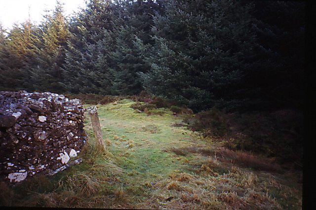 Photo could not load
NT6411 : Belling Hill
Richard Webb
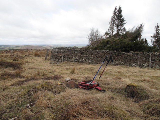 Photo could not load
NT6411 : Belling Hill
Rude Health
Hill facts and local notes
Classifications
Elevation
354m
1,163 ft
Prominence
152m
Coordinates
55.3992, -2.5668
NT642118
OS Map
80
Explorer: OL16W
At the Summit
The summit is marked by a small stone cairn and provides panoramic views over the North Yorkshire Moors.
Terrain & Geology
Primarily composed of sandstone with some limestone features. The area showcases typical moorland geology, including small outcrops that can be explored.
Views & Scenery
Sweeping vistas of the North Yorkshire Moors, with the iconic peaks of the surrounding landscape visible on a clear day including the distant Hambleton Hills.
History & Heritage
Name Origin
The name 'Belling' is thought to derive from the Old English 'bellingen', meaning a bell-shaped hill.
Historical Significance
The hill and its surrounding moors play a role in local folklore and serve as a reminder of the region's natural beauty and ecological importance.
Getting There & Facilities
Parking
Parking is available in the village of Hawnby, just a 10-minute walk from the trailhead.
Public Transport
The nearest bus service operates from Helmsley, approximately 6 miles away. Plan accordingly as the services are limited.
Nearby Facilities
There are no facilities immediately at the hill, but ample options including cafes and public toilets in Helmsley and Hawnby.
Safety Information
Known Hazards
- Potentially slippery slopes, especially after rain. The area can be boggy; hikers are advised to stay on marked paths.
General Safety Tips
- Check weather conditions before setting out
- Carry appropriate clothing and equipment
- Let someone know your planned route
- Take a map, compass, and GPS device
- Carry emergency supplies: food, water, first aid kit, torch
Hills
Some common questions about the hills answered
Are there group walks up Belling Hill?
Many walkers use Walkmates to join or organise walks with others. You can check for group walks around Belling Hill through the maps
Are there other walkers around Belling Hill?
Activity varies by location and time, but Walkmates lets you see whether others have shared walks or shown interest in this area. Find other people through the walking friends search walking friends for Belling Hill search or of course create your own walk for Belling Hill
Can I organise a walk to Belling Hill?
Yes. If there aren’t any walks listed already, you can create a walk and make it available for others to join.
If you're signed up to Walkmates, you can create a walk to Belling Hill.
How do I find a walk up this hill?
There are often multiple ways to walk this hill, depending on experience and route preference. Walkmates helps you explore walks and routes that others have shared.
Can I suggest a new route up Belling Hill?
Yes. You can suggest or create routes to share with others. Walkmates focuses on the social side of walking, so routes are used to help people organise walks and explore areas together, rather than as detailed navigation tools or route libraries.
Other uses really appreciate knowledgeable walkers sharing their routes. Share your favourite route to Belling Hill here
The is an error or something incorrect about this hill. How do I let you know?
We always strive to keep the information on Walkmates as accurate as possible. If you find an error, please let us know through the contact form and we'll aim to correct it as quickly as possible
Community Discussion
Comments
Location
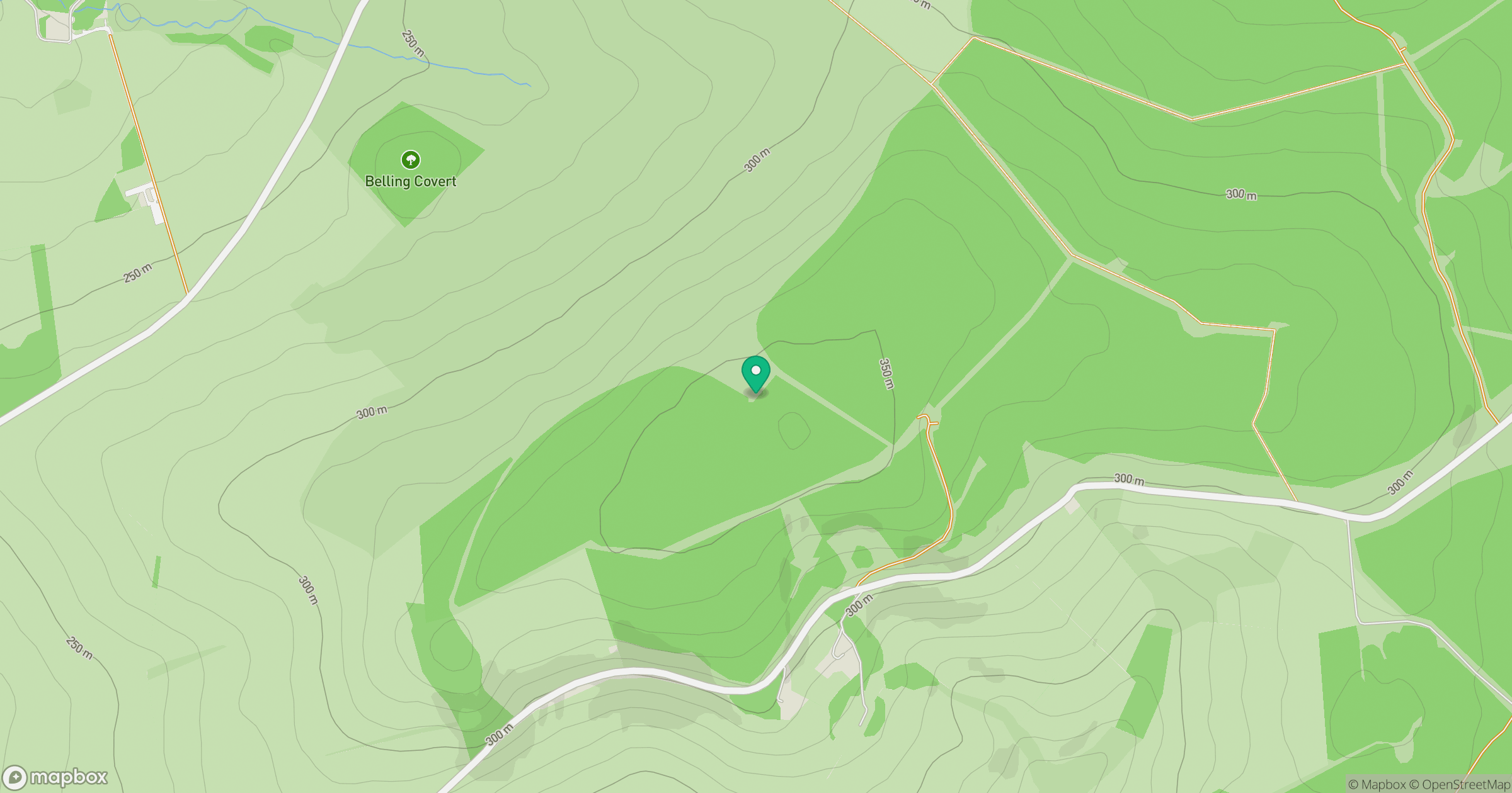
Grid reference: NT642118
View on OpenStreetMapOpens a map in a new tab, centred on the hill.




No comments yet. Be the first.