

Lansdown Hill
Good walks are even better shared.
ST7168 : Bath Racecourse
Wayland Smith Photo source
Overview
Lansdown Hill
Overview
Lansdown Hill, standing at an elevation of 215 meters, is located in the stunning Cotswolds region of England. Known for its limestone geology, the hill offers fascinating sights for geology buffs and stunning views for all outdoor lovers.
Routes and Access
A great way to explore Lansdown is via the Lansdown Circular Walk, a 7.5 km route that wraps around the hill. This moderate hike typically takes about 2.5 hours to complete. Starting from the Lansdown Park & Ride, this route not only takes you to the summit but through some beautiful surrounding countryside.
Summit Features
At the top of Lansdown Hill, you'll find a neatly maintained trig point, a favourite spot for visitors eager to snap some photos. The panoramic views of Bath and the surrounding hills are worth every step!
Terrain and Conditions
Most of the terrain is grassy, with occasional rocky outcrops. The trails are generally well-marked, making navigation easy for hikers of all levels. However, do be careful after rain, as the slopes can become slippery.
Views
On a clear day, you’ll be rewarded with breathtaking views that include Bath Abbey, the River Avon, and the sprawling rural landscape of the Cotswolds. Spring and autumn are the best times for viewing, as the colours and visibility reach their peak.
Hazards
Take care on the paths, especially after wet weather. Ensure you have sturdy hiking boots, as the terrain can be challenging in spots.
Nearby Summits
For those keen to explore further, nearby summits like Solsbury Hill and Kelston Round Hill provide more opportunities for adventure and spectacular views.
Access and Facilities
The easiest access point for your adventure is Lansdown Park & Ride, located just a stone’s throw away from the start of the trails. Bath, the nearest town, is also well-connected by public transport, making it a convenient base for your excursions. When nature calls, you’ll find the necessary facilities in Bath — a good place to refuel with a warm cup of tea afterward!
History
The name 'Lansdown' reflects its historical land use. Throughout its history, this hill has witnessed local disputes and has been a vital part of the area's agricultural heritage. All in all, Lansdown Hill is not just a feast for the eyes, but also a place steeped in local lore.
Enjoy your hike up Lansdown Hill, and remember, it's not the mountain we conquer, but ourselves (and maybe a sausage roll at the end).
Explore routes near Lansdown Hill
Walks starting near this hill. Open a route to check its map, distance and full itinerary.
Bitton to Kelston Bridge: Bristol and Bath Railway Path Return
View route
Bath Skyline hills and Rainbow Wood from central Bath
View route
Bristol Walk with Men Walking & Talking
View route
Conham River Park to Hanham Mills: River Avon towpath return
View route
Route planning notes
These notes describe possible approaches. Check a route's map and access information when planning your walk.
Lansdown Circular Walk
A picturesque circular route starting from the Lansdown Park & Ride, encompassing not just the hill but also its scenic surroundings.
Make a day of it, together
Find someone to share the walk with, or organise a day out along a route you like.
Photo Gallery
View all Photo could not load
ST7168 : Bath Racecourse
Wayland Smith
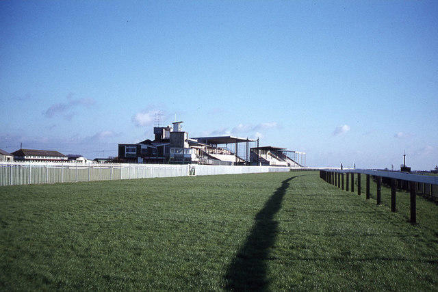 Photo could not load
ST7168 : Bath Racecourse at Lansdown
Colin Park
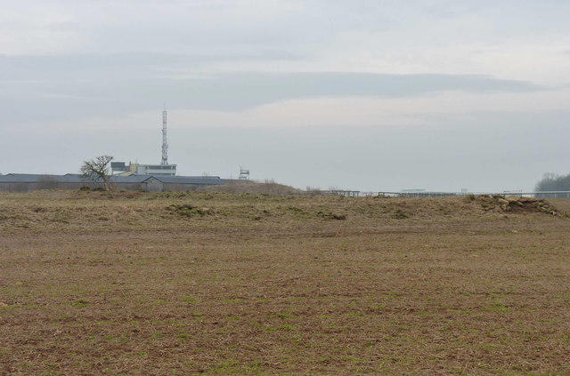 Photo could not load
ST7168 : Ancient Earthworks on Bath Race Course
Rick Crowley
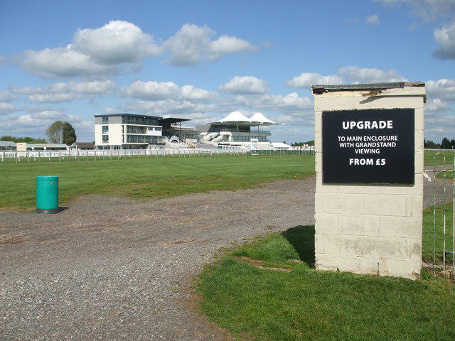 Photo could not load
ST7168 : Upgrade for £5
Neil Owen
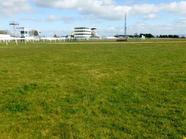 Photo could not load
ST7168 : Lansdown Hill
Rude Health
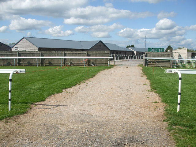 Photo could not load
ST7168 : Listening for the rumble of hooves
Neil Owen
Hill facts and local notes
Classifications
Elevation
238m
781 ft
Prominence
73m
Coordinates
51.4180, -2.4104
ST715688
OS Map
172
Explorer: 155
At the Summit
At the summit, you'll find a well-maintained trig point and scenic viewpoints overlooking Bath and the surrounding countryside.
Terrain & Geology
Lansdown Hill is primarily composed of limestone, characteristic of the Cotswold range. The hill features interesting fossilised remains and is a great spot for anyone interested in geology.
Views & Scenery
In clear weather, the view extends to Bath Abbey, the River Avon, and the enchanting vistas of the Cotswold countryside.
History & Heritage
Name Origin
The name 'Lansdown' is thought to derive from 'Lands down', hinting at historical land use and the hill's geographical prominence.
Historical Significance
Historically, the hill has been a battleground for local rivalries and has ties to the countryside’s agricultural past.
Getting There & Facilities
Parking
Lansdown Park & Ride, Bath - a short walk from the starting point of the hikes.
Public Transport
Frequent bus services connect to Bath city centre, from which you can easily access the hill.
Nearby Facilities
Cafés and public toilets can be found in Bath, with additional picnic spots near the hill's base.
Safety Information
Known Hazards
- Slippery paths after rain, especially in grassy areas; be cautious and wear good walking shoes.
General Safety Tips
- Check weather conditions before setting out
- Carry appropriate clothing and equipment
- Let someone know your planned route
- Take a map, compass, and GPS device
- Carry emergency supplies: food, water, first aid kit, torch
Hills
Some common questions about the hills answered
Are there group walks up Lansdown Hill?
Many walkers use Walkmates to join or organise walks with others. You can check for group walks around Lansdown Hill through the maps
Are there other walkers around Lansdown Hill?
Activity varies by location and time, but Walkmates lets you see whether others have shared walks or shown interest in this area. Find other people through the walking friends search walking friends for Lansdown Hill search or of course create your own walk for Lansdown Hill
Can I organise a walk to Lansdown Hill?
Yes. If there aren’t any walks listed already, you can create a walk and make it available for others to join.
If you're signed up to Walkmates, you can create a walk to Lansdown Hill.
How do I find a walk up this hill?
There are often multiple ways to walk this hill, depending on experience and route preference. Walkmates helps you explore walks and routes that others have shared.
Can I suggest a new route up Lansdown Hill?
Yes. You can suggest or create routes to share with others. Walkmates focuses on the social side of walking, so routes are used to help people organise walks and explore areas together, rather than as detailed navigation tools or route libraries.
Other uses really appreciate knowledgeable walkers sharing their routes. Share your favourite route to Lansdown Hill here
The is an error or something incorrect about this hill. How do I let you know?
We always strive to keep the information on Walkmates as accurate as possible. If you find an error, please let us know through the contact form and we'll aim to correct it as quickly as possible
Community Discussion
Comments
Location
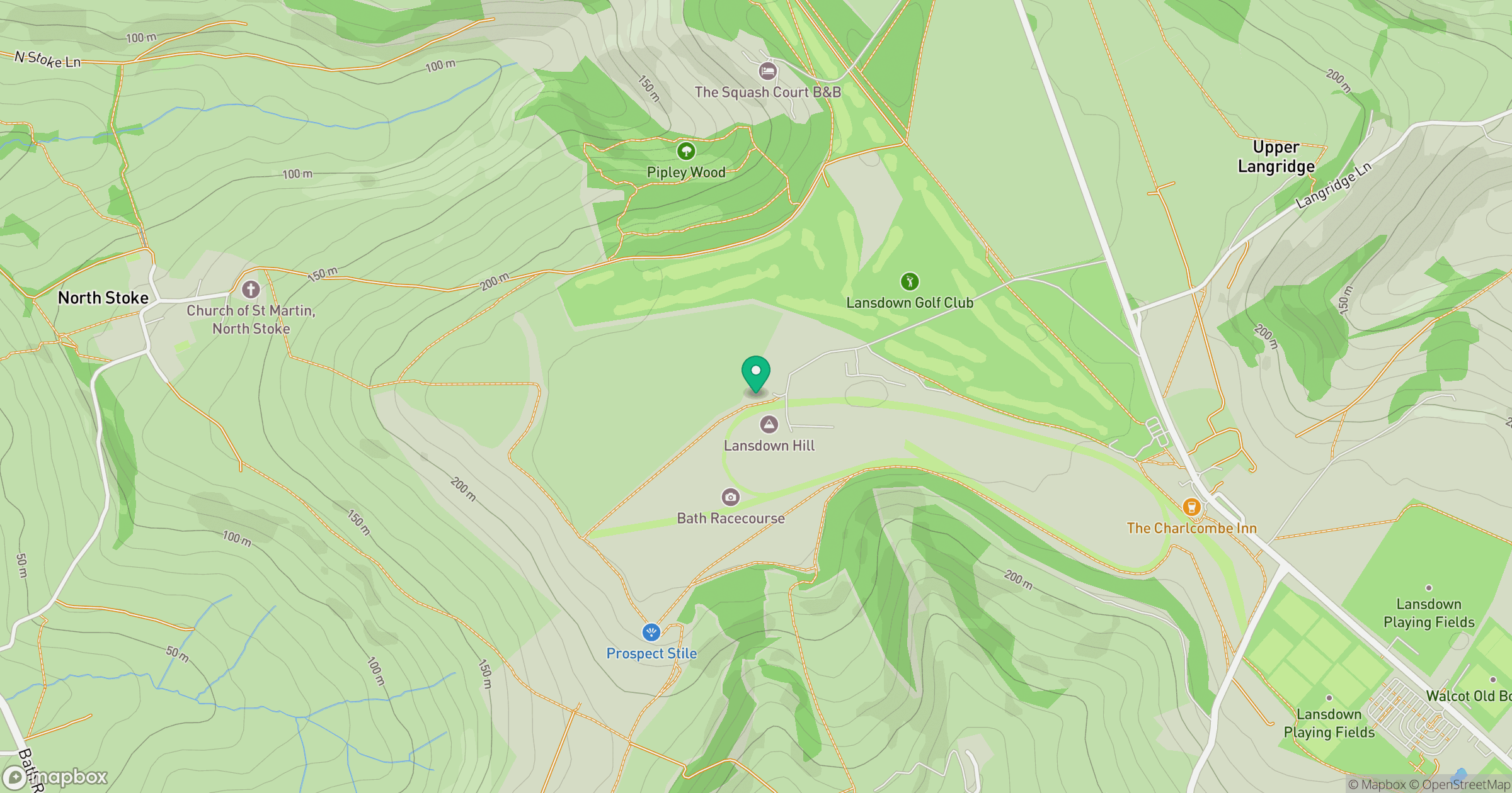
Grid reference: ST715688
View on OpenStreetMapOpens a map in a new tab, centred on the hill.
Nearby Hills
Glastonbury Tor
158m
Worcestershire Beacon
425m
Titterstone Clee Hill
533m

Cribyn
794m
Pen y Fan
886m
No comments yet. Be the first.