

Knock Scalbart
Good walks are even better shared.
Overview
Knock Scalbart: A Hidden Gem in Lincolnshire Wolds
Nestled within the picturesque Lincolnshire Wolds, Knock Scalbart is a treat for hikers. Standing at 217 meters, this Marilyn offers an excellent day out without turning into a breathless ordeal like climbing Everest. Just check your shoes before you set off; you don't want to venture into the muddy pitfalls like a contestant on a reality show!
Geology
Nestled amidst limestone hills, the geology of Knock Scalbart is simply fascinating. With its rocky outcrops and rich chalky grasslands, it tells a story of ancient landscapes shaped by glacial forces. Perfect for geology enthusiasts who fancy themselves as rock stars!
Routes
The most popular route is the Scalbart Walk, a tranquil 7.5 km circular path that begins at North Thoresby. This moderate hike meanders through lovely countryside and offers a respite from the daily grind - an ideal opportunity for birdwatching or just enjoying the gentle sounds of nature.
Summit Features
Reaching the summit is immensely gratifying, especially when you see the small rocky outcrop marking the peaks - a lovely spot to take a breather. Don't forget to capture a picture while you are there, lest your friends start to doubt your claims of adventurous pursuits!
Terrain Type
The terrain is mainly grassy with some rocky patches. Accessible and manageable, although do carry a good pair of walking boots - a slip could send you into wonderfully soft mud which may transform you into a true mud angel.
Views
From the top, the views are simply spectacular. Gaze out towards the Humber Estuary or the iconic Lincoln Cathedral, which stands proudly like a beacon. Best to aim for spring or autumn for the clearest skies and vibrant vistas.
Hazards
Like all UK hikes, not without its hazards – watch out for muddy patches, especially in the wetter months. And keep an eye (and ear) out for livestock; we don't want any misunderstandings with curious cows or sheep!
Nearby Summits
If you’re still up for a bit more hiking, nearby summits like Binbrook Wold and Dunston Hill can offer a little variety to your day.
Access
Parking
Parking is stress-free at North Thoresby village hall, where you can find free spots - a rare thing nowadays!
Public Transport
If you’re not driving, the local bus service is ready to drop you off in North Thoresby, making it ever so convenient for everyone.
Nearest Town
Louth is the nearest town and a quite charming one at that! Pop over for a cheeky slice of cake post-hike!
Facilities
Make a day of it by visiting the local cafes and pubs for a well-deserved treat. Public toilets are also conveniently located near the village hall.
History
The name Knock Scalbart, rich in heritage, emanates from Old Norse and hints at tales of the past - perhaps a skald once recited poems atop this very hill!
With rich landscapes and engaging features, Knock Scalbart is well worth a visit. Whether you’re a seasoned hiker or a curious newbie, this hidden gem is surely one for the hiking books.
So lace up those walking boots, pack a sandwich, and set forth on your adventure!
Explore routes near Knock Scalbart
Public walks starting within 80 km of this hill. Nearby does not mean a route reaches the summit; check its map and access before setting out.
Goatfell from Cladach
View route
Portballintrae to Giant's Causeway: railway path and Blue Trail return
View route
Bishop’s Glen group walk
View route
West Bay walk and talk
View route
Route planning notes
These notes describe possible approaches, not verified navigable routes or permission to cross land. Check current paths, local access rules and conditions before setting out.
Scalbart Walk
A delightful circular route starting from the village of North Thoresby, offering sweeping views across the Wolds.
Make a day of it, together
Find someone to share the walk with, or organise a day out along a route you like.
Photo Gallery
View all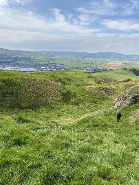 Photo could not load
NR7222 : Descent from Knock Scalbart
thejackrustles
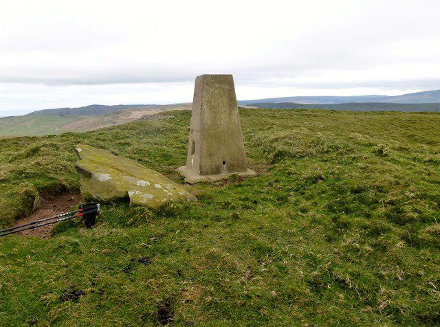 Photo could not load
NR7322 : Knock Scalbart
Rude Health
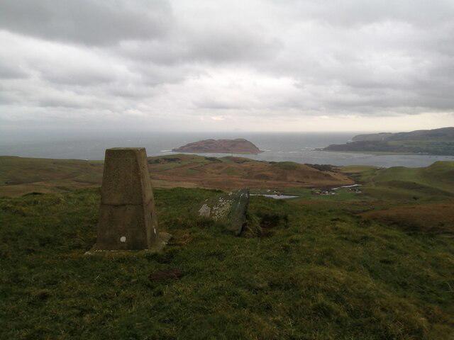 Photo could not load
NR7322 : Knock Scalbart trig pillar
Alec MacKinnon
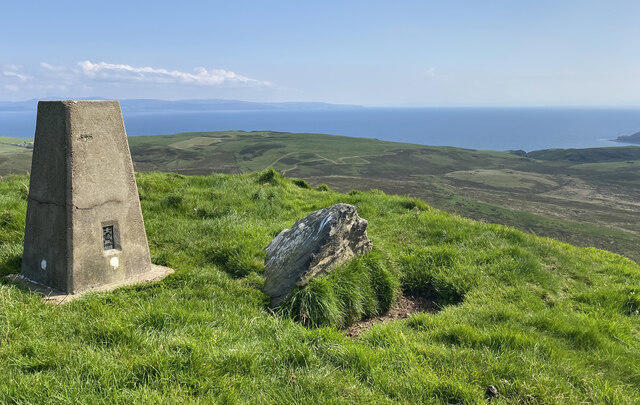 Photo could not load
NR7322 : Knock Scalbart Trig Point Flush Bracket S8564
thejackrustles
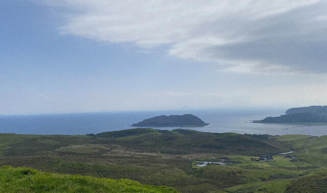 Photo could not load
NR7322 : Island Davaar from Knock Scalbart
thejackrustles
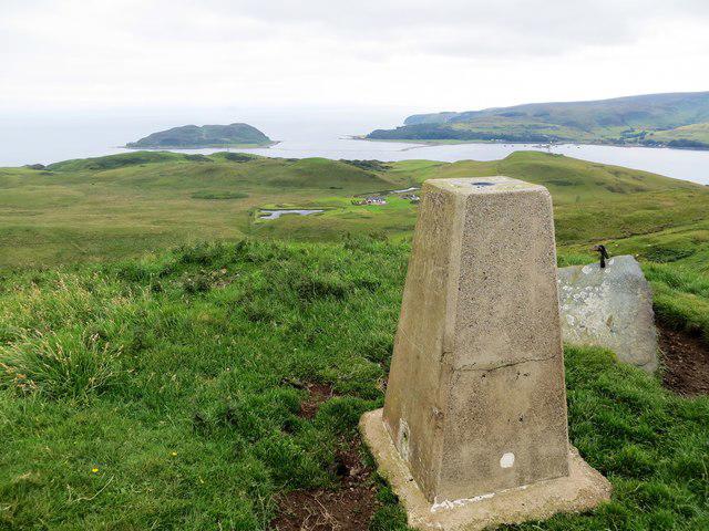 Photo could not load
NR7322 : Triangulation pillar on Knock Scalbart
John Ferguson
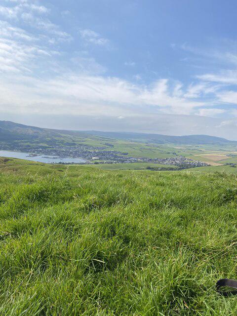 Photo could not load
NR7322 : Campbeltown from Knock Scalbart
thejackrustles
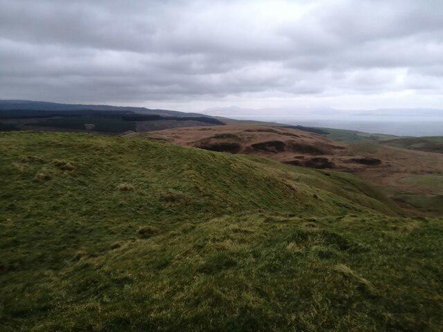 Photo could not load
NR7322 : Knock Scalbart Hill fort
Alec MacKinnon
Hill facts and local notes
Classifications
Elevation
216m
710 ft
Prominence
127m
Coordinates
55.4409, -5.5898
NR730222
OS Map
68
Explorer: 356S
At the Summit
The summit boasts a small rocky outcrop with a stone marker, surrounded by wildflowers - a perfect spot for a picnic or a quick summit selfie.
Terrain & Geology
Knock Scalbart is primarily composed of limestone with a rich mosaic of chalky grassland, offering fascinating insights into the area's geological history. The landform has also been shaped by glacial activity, adding to its character.
Views & Scenery
On a clear day, you can see as far as the Humber Estuary and the Lincoln Cathedral, a sight that would make any history buff smile.
History & Heritage
Name Origin
The name 'Scalbart' is believed to derive from Old Norse, possibly meaning 'the hill of the skald' - quite fitting for a place that inspires poetic thoughts.
Historical Significance
Historically, the area around Knock Scalbart has been inhabited since ancient times, with archaeological finds suggesting a rich human history.
Getting There & Facilities
Check current local access restrictions, parking rules and transport timetables before travelling. These notes do not confirm public access to the summit.
Parking
There is free parking available at the North Thoresby village hall (postcode DN36 5QL), which is a short walk from the trailhead.
Public Transport
The nearest bus stop is in North Thoresby, serviced by local buses from Grimsby and Louth.
Nearby Facilities
There are several cafes and pubs in North Thoresby for refreshments, as well as public toilets near the village hall.
Safety Information
Known Hazards
- Muddy trails after heavy rain, and occasional livestock on the paths.
General Safety Tips
- Check weather conditions before setting out
- Carry appropriate clothing and equipment
- Let someone know your planned route
- Take a map, compass, and GPS device
- Carry emergency supplies: food, water, first aid kit, torch
Hills
Some common questions about the hills answered
Are there group walks up Knock Scalbart?
Many walkers use Walkmates to join or organise walks with others. You can check for group walks around Knock Scalbart through the maps
Are there other walkers around Knock Scalbart?
Activity varies by location and time, but Walkmates lets you see whether others have shared walks or shown interest in this area. Find other people through the walking friends search walking friends for Knock Scalbart search or of course create your own walk for Knock Scalbart
Can I organise a walk to Knock Scalbart?
Yes. If there aren’t any walks listed already, you can create a walk and make it available for others to join.
If you're signed up to Walkmates, you can create a walk to Knock Scalbart.
How do I find a walk up this hill?
There are often multiple ways to walk this hill, depending on experience and route preference. Walkmates helps you explore walks and routes that others have shared.
Can I suggest a new route up Knock Scalbart?
Yes. You can suggest or create routes to share with others. Walkmates focuses on the social side of walking, so routes are used to help people organise walks and explore areas together, rather than as detailed navigation tools or route libraries.
Other uses really appreciate knowledgeable walkers sharing their routes. Share your favourite route to Knock Scalbart here
The is an error or something incorrect about this hill. How do I let you know?
We always strive to keep the information on Walkmates as accurate as possible. If you find an error, please let us know through the contact form and we'll aim to correct it as quickly as possible
Community Discussion
Comments
Location
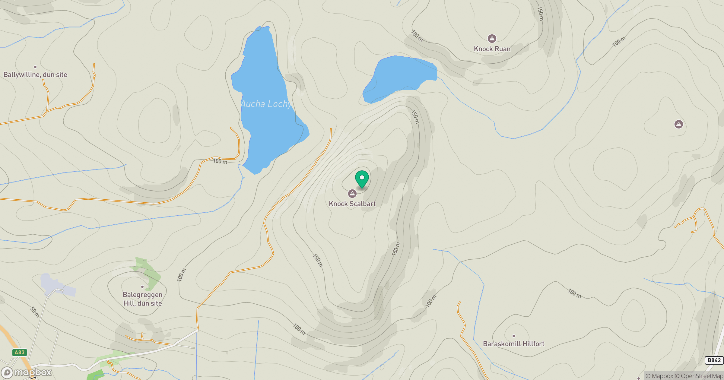
Grid reference: NR730222
View on OpenStreetMapOpens a map in a new tab, centred on the hill.
Hills within 30 km
Straight-line distance, not a walking route or confirmation of access.
No comments yet. Be the first.