
Kilpatrick (Rathlin Island)
Good walks are even better shared.
Overview
Kilpatrick (Rathlin Island)
Nestled gracefully on Rathlin Island, Kilpatrick stands as a Marilyn reaching an elevation of 101 meters, making it a perfect spot for a reflective hike, or as I like to call it, a chance to get a leg workout whilst soaking in views that’ll make your heart skip a beat.
Geology
Kilpatrick's rocky outcrops tell the tale of volcanic activity in ancient times. The dominant basalt formations give this sturdy hill its character, standing firm against the relentless Irish weather. The surrounding limestone adds to the charm, creating a rich tapestry of greenery that teems with wildlife.
Routes
The most popular route is the Kilpatrick Loop, which offers a delightful 5.5 km trek. Starting from the ferry terminal, this loop is rated moderate, meaning it’s suitable for most folk looking to stretch their legs. Be prepared for a bit of a workout, it’s no Sunday stroll, but if you’re trekking with good company and a snack or two, you’ll hardly notice!
Summit Features
Reaching the summit, you'll be greeted by a small but determined cairn – a perfect spot to rest and enjoy a picnic amid the stunning vistas.
Terrain Type
The terrain is predominantly grassy, with the occasional rocky outcrop to navigate. Do keep an eye out for the boggy patches; they’re like quicksand but less dramatic (and no, I’ve never tried to make a dramatic exit through one!).
Views
From the top, the views are nothing short of breathtaking. On clear days, the Mourne Mountains can be seen on the mainland, along with other dazzling landmarks dotting the coastline. The best times to enjoy these views are in spring or summer during the golden hours of sunrise and sunset. Trust me, your camera will thank you!
Hazards
Be cautious of slippery rocks while navigating the summit, particularly if you’re sporting new hiking boots. The unpredictable Irish weather can throw some surprises your way, so always check the forecast before setting off.
Nearby Summits
Not far from Kilpatrick, you can also explore Torr Head, which offers its own set of delightful challenges and excellent coastal views.
Access
Getting to Kilpatrick is straightforward; park near the Rathlin ferry terminal and embark on your adventure. Ferries are frequent from Ballycastle, making it easy to pop over and enjoy a day of walking without a care in the world.
Facilities
While there aren’t fancy facilities up by the summit, Rathlin Island has a few charming cafes where you can fuel up after your hike. Keep an eye out for those iconic toilets – they’re as vital as your trusty walking boots!
History
Kilpatrick's name holds deep roots in the local history, translating to 'Church of Patrick,' a nod to the Christian connections that echo through the ages here. This little peak has seen a slice of history, wrapped in the rich culture of Rathlin Island.
So pack your essentials, lace up those boots, and let your legs do some talking as you journey up this delightful Marilyn. After all, adventure is out there, and Kilpatrick is waiting to be explored!
Explore routes near Kilpatrick (Rathlin Island)
Walks starting near this hill. Open a route to check its map, distance and full itinerary.
Portballintrae to Giant's Causeway: railway path and Blue Trail return
View route
Goatfell from Cladach
View route
Belfast street-art walk
View route
Belfast street-art walk
View route
Route planning notes
These notes describe possible approaches. Check a route's map and access information when planning your walk.
Kilpatrick Loop
A scenic loop that takes you around Kilpatrick, offering stunning views of the coastline and the surrounding landscape.
Make a day of it, together
Find someone to share the walk with, or organise a day out along a route you like.
Hill facts and local notes
Classifications
Elevation
134m
440 ft
Prominence
134m
Coordinates
55.3009, -6.2098
D137519
OS Map
05
At the Summit
The summit features a small cairn and offers panoramic views of the Irish Sea and the nearby mainland.
Terrain & Geology
Kilpatrick is primarily composed of basalt, which gives it a unique ruggedness. The surrounding limestone formations contribute to the area's lush vegetation and diverse wildlife.
Views & Scenery
From the summit, you can see the mainland of Northern Ireland, the Mourne Mountains on clear days, and the spectacular coastlines that surround Rathlin Island.
History & Heritage
Name Origin
The name 'Kilpatrick' is rooted in Irish, meaning 'Church of Patrick', reflecting the historical presence of Christianity on the island.
Historical Significance
Kilpatrick is significant for its natural beauty and biodiversity, as well as its historical links to early Christian settlements.
Getting There & Facilities
Parking
Parking is available near the ferry terminal in Rathlin, with a short walk required to reach the trailhead.
Public Transport
Regular ferries operate from Ballycastle to Rathlin Island, providing easy access for hikers.
Nearby Facilities
Rathlin Island has a few cafes and toilet facilities, particularly near the ferry terminal and the west harbour.
Safety Information
Known Hazards
- Watch out for slippery rocks and boggy patches, especially after rain. Also, be wary of sudden weather changes that can occur on the island.
General Safety Tips
- Check weather conditions before setting out
- Carry appropriate clothing and equipment
- Let someone know your planned route
- Take a map, compass, and GPS device
- Carry emergency supplies: food, water, first aid kit, torch
Hills
Some common questions about the hills answered
Are there group walks up Kilpatrick (Rathlin Island)?
Many walkers use Walkmates to join or organise walks with others. You can check for group walks around Kilpatrick (Rathlin Island) through the maps
Are there other walkers around Kilpatrick (Rathlin Island)?
Activity varies by location and time, but Walkmates lets you see whether others have shared walks or shown interest in this area. Find other people through the walking friends search walking friends for Kilpatrick (Rathlin Island) search or of course create your own walk for Kilpatrick (Rathlin Island)
Can I organise a walk to Kilpatrick (Rathlin Island)?
Yes. If there aren’t any walks listed already, you can create a walk and make it available for others to join.
If you're signed up to Walkmates, you can create a walk to Kilpatrick (Rathlin Island).
How do I find a walk up this hill?
There are often multiple ways to walk this hill, depending on experience and route preference. Walkmates helps you explore walks and routes that others have shared.
Can I suggest a new route up Kilpatrick (Rathlin Island)?
Yes. You can suggest or create routes to share with others. Walkmates focuses on the social side of walking, so routes are used to help people organise walks and explore areas together, rather than as detailed navigation tools or route libraries.
Other uses really appreciate knowledgeable walkers sharing their routes. Share your favourite route to Kilpatrick (Rathlin Island) here
The is an error or something incorrect about this hill. How do I let you know?
We always strive to keep the information on Walkmates as accurate as possible. If you find an error, please let us know through the contact form and we'll aim to correct it as quickly as possible
Community Discussion
Comments
Location
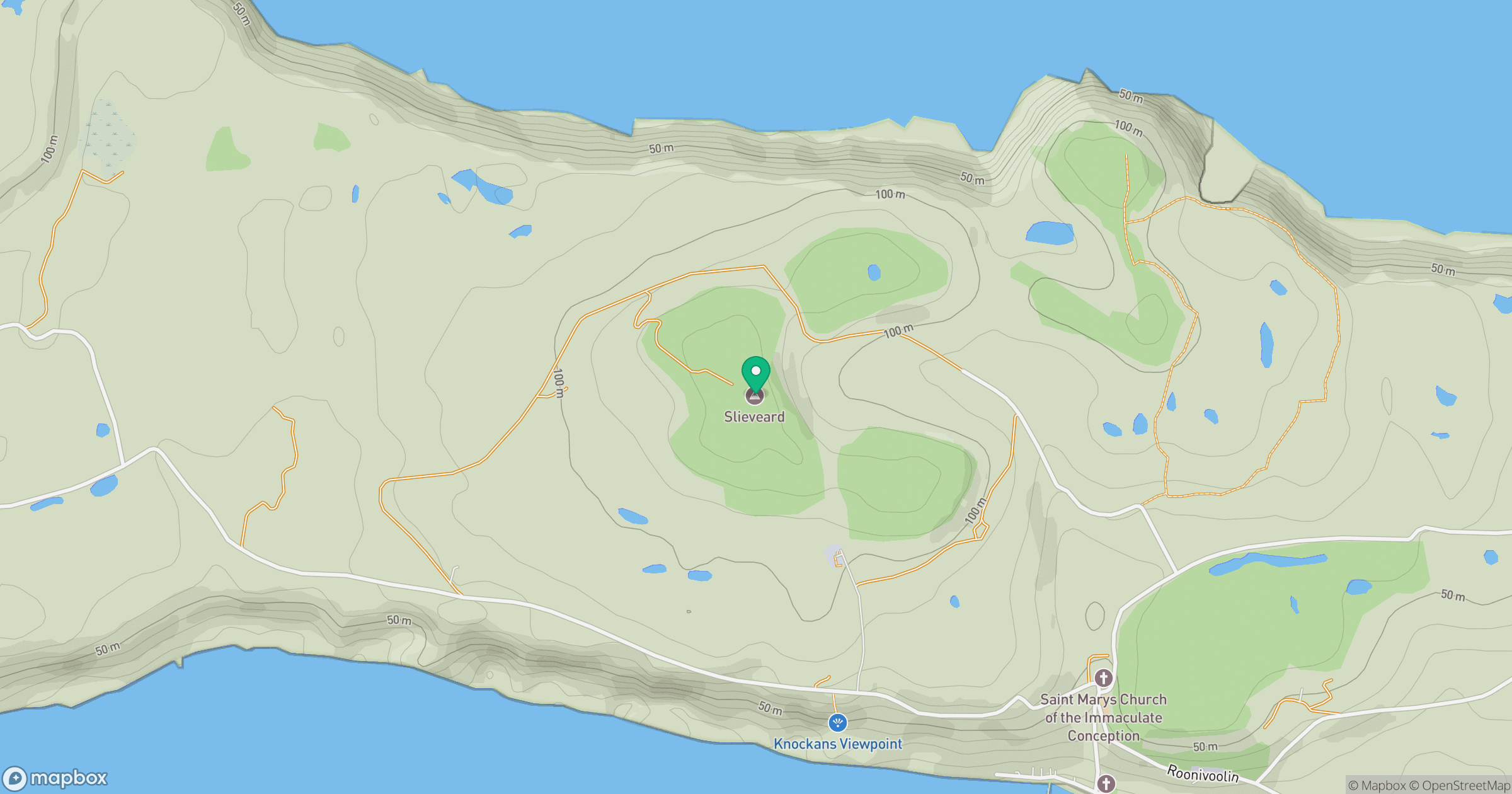
Grid reference: D137519
View on OpenStreetMapOpens a map in a new tab, centred on the hill.
No comments yet. Be the first.