

Trostan
Good walks are even better shared.
D1823 : Trostan
Rossographer Photo source
Overview
Trostan: A Hiker's Paradise
Trostan, standing proudly at 543 meters, is one of the gems of the Antrim Hills. Equipped with a distinctive profile, it is a Marilyn and offers both challenge and reward for hikers and outdoor enthusiasts alike.
Geology
The landscape here is testament to Northern Ireland's volcanic past, primarily composed of basalt rock. This geology shapes the hill's rugged beauty and provides a fascinating backdrop for those interested in the earth beneath their feet.
Routes
The route from the Broughshane Road is the most favoured. It is approximately 8 km long and generally takes about 3 hours to complete. This moderately challenging trek leads hikers through lush woodland before ascending to the summit, where the views are well worth the effort. Remember, every trekker is a peak away from a selfie!
Summit Features
Reaching the summit, you'll find a prominent cairn which seems to be a favourite spot for hikers catching their breath while pondering life’s great mysteries—like why socks disappear in the wash.
Terrain and Views
The terrain is primarily grassy with some rocky outcrops and can be muddy in places following rain, so sturdy boots are a must. The views from Trostan are simply breathtaking, showcasing Lough Neagh and the neighbouring Glens of Antrim. Autumn, with its tapestry of colours and crisp air, offers particularly stunning vistas.
Hazards
While climbing Trostan, watch out for the unpredictable weather. It can turn from sunny to foggy faster than you can say 'what happened to the sun?'. The path can also get slippery, especially after a good downpour.
Nearby Summits
For those looking to extend their hiking adventures, consider nearby summits such as Slieveanorra or the well-loved Slemish, each with its own unique charm and views.
Access
Accessing Trostan is relatively simple. There is a small car park just off the Broughshane Road, a short stroll from the trailhead. Public transport is more of a challenge, with the nearest bus services running intermittently from Broughshane, the closest village. Here, you can also find cafes and public toilets to freshen up after your trek.
History
The name 'Trostan' aptly describes its geography, meaning 'mountain covered in turf' in Irish. Historically, it has served as a lookout, offering strategic views across the Antrim landscape.
Everyone who hikes Trostan comes away with a sense of accomplishment, and the views are a reward that will leave you saying, 'What a view!' A beginner’s trek for some, and a full day’s adventure for others, it perfectly encapsulates the charm of Northern Ireland’s wild beauty.
Happy hiking!
Explore routes near Trostan
Walks starting near this hill. Open a route to check its map, distance and full itinerary.
Portballintrae to Giant's Causeway: railway path and Blue Trail return
View route
Belfast street-art walk
View route
Belfast street-art walk
View route
Lagan Towpath: Shaw's Bridge to Drumbeg Footbridge
View route
Route planning notes
These notes describe possible approaches. Check a route's map and access information when planning your walk.
Trostan from the Broughshane Road
A popular route starting from the Broughshane Road, leading you through scenic woodland and up to the summit with panoramic views.
Make a day of it, together
Find someone to share the walk with, or organise a day out along a route you like.
Photo Gallery
View all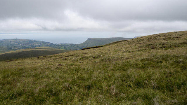 Photo could not load
D1823 : Trostan
Rossographer
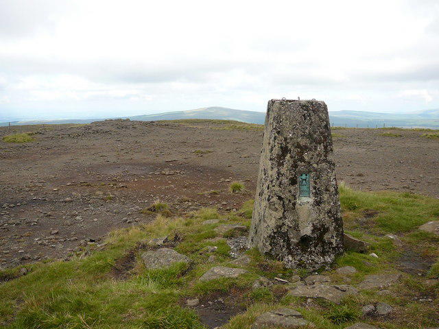 Photo could not load
D1723 : Trig point at summit of Trostan
Colin Park
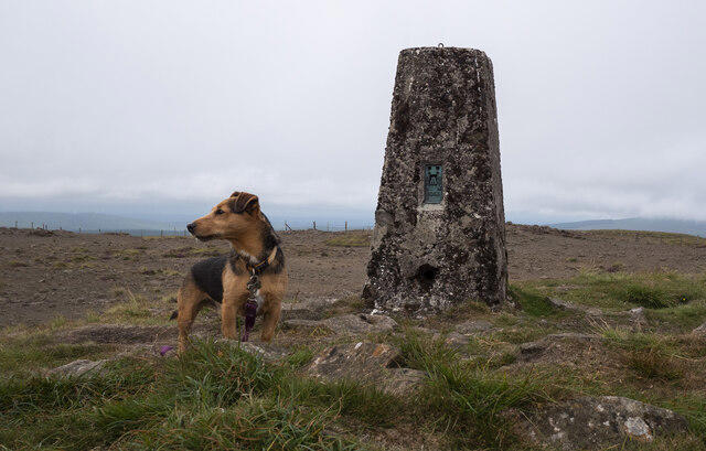 Photo could not load
D1723 : Trostan Triangulation Pillar
Rossographer
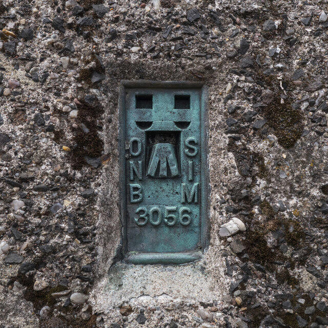 Photo could not load
D1723 : Flush Bracket, Trostan Triangulation Pillar
Rossographer
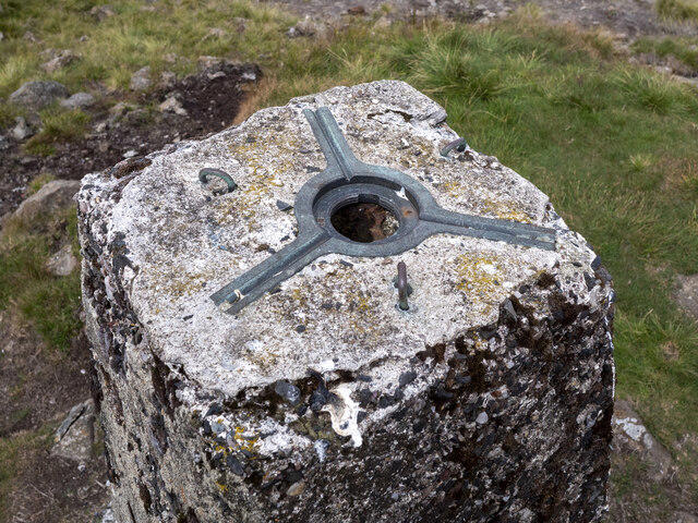 Photo could not load
D1723 : Spider, Trostan Triangulation Pillar
Rossographer
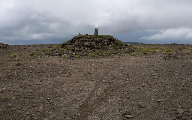 Photo could not load
D1723 : Trostan Triangulation Pillar
Rossographer
Hill facts and local notes
Classifications
Elevation
550m
1,804 ft
Prominence
510m
Coordinates
55.0457, -6.1554
D179235
OS Map
09
At the Summit
At the summit, you'll find a sizeable cairn marking the peak, alongside a participant in the unending debate of whether it's more fun to take a selfie or just enjoy the scenery.
Terrain & Geology
Trostan is primarily composed of basalt, a clue to the volcanic activity that shaped much of Northern Ireland's landscape. The surrounding hills are also dotted with layers of sedimentary rock, showcasing intriguing geological history.
Views & Scenery
From the summit, admire sweeping views of Lough Neagh to the south and the iconic Glens of Antrim to the north – don't forget your camera!
History & Heritage
Name Origin
The name 'Trostan' is believed to be derived from the Irish 'Trosdain', meaning 'mountain covered in turf', a nod to the grassy landscape that surrounds it.
Historical Significance
Trostan has historical significance as it was once a lookout point during various historical conflicts, providing views strategically valuable.
Getting There & Facilities
Parking
A small car park is located off the Broughshane Road, just a short walk from the trailhead.
Public Transport
Limited public transport options; the nearest bus stop is in Broughshane with sporadic services.
Nearby Facilities
Broughshane has cafes and pubs where you can enjoy a hearty meal or a warm beverage after your hike. Public toilets are available here as well.
Safety Information
Known Hazards
- Beware of sudden weather changes; it can go from sunny to foggy quicker than you can say 'gale warning'. Slippery rocks and muddy paths after rain are also common.
General Safety Tips
- Check weather conditions before setting out
- Carry appropriate clothing and equipment
- Let someone know your planned route
- Take a map, compass, and GPS device
- Carry emergency supplies: food, water, first aid kit, torch
Hills
Some common questions about the hills answered
Are there group walks up Trostan?
Many walkers use Walkmates to join or organise walks with others. You can check for group walks around Trostan through the maps
Are there other walkers around Trostan?
Activity varies by location and time, but Walkmates lets you see whether others have shared walks or shown interest in this area. Find other people through the walking friends search walking friends for Trostan search or of course create your own walk for Trostan
Can I organise a walk to Trostan?
Yes. If there aren’t any walks listed already, you can create a walk and make it available for others to join.
If you're signed up to Walkmates, you can create a walk to Trostan.
How do I find a walk up this hill?
There are often multiple ways to walk this hill, depending on experience and route preference. Walkmates helps you explore walks and routes that others have shared.
Can I suggest a new route up Trostan?
Yes. You can suggest or create routes to share with others. Walkmates focuses on the social side of walking, so routes are used to help people organise walks and explore areas together, rather than as detailed navigation tools or route libraries.
Other uses really appreciate knowledgeable walkers sharing their routes. Share your favourite route to Trostan here
The is an error or something incorrect about this hill. How do I let you know?
We always strive to keep the information on Walkmates as accurate as possible. If you find an error, please let us know through the contact form and we'll aim to correct it as quickly as possible
Community Discussion
Comments
Location
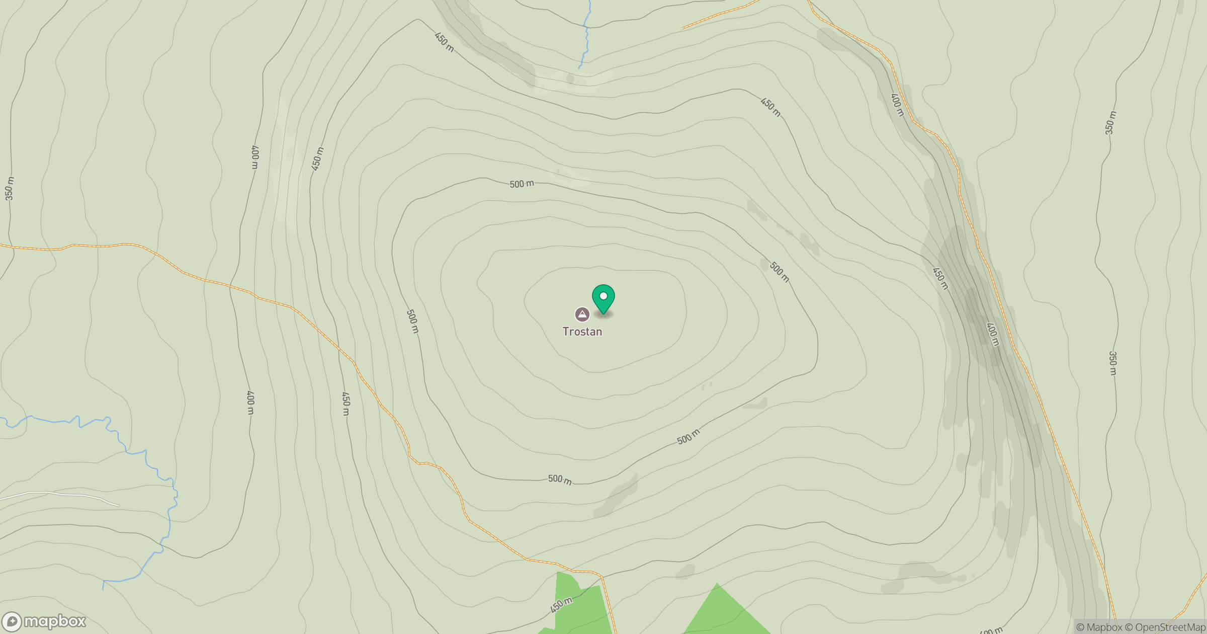
Grid reference: D179235
View on OpenStreetMapOpens a map in a new tab, centred on the hill.
No comments yet. Be the first.