

Hatterrall Hill
Good walks are even better shared.
SO3025 : Hatterrall Ridge looking north
Jonathan Billinger Photo source
Overview
Hatterrall Hill
Introduction
Hatterrall Hill, standing proud at 703 meters, is a fine example of the beauty and ruggedness of the Black Mountains. Known as a 'Marilyn', it offers a variety of paths that cater to all hiking abilities, ensuring that everyone can enjoy the splendour of the Welsh landscape.
Geology
The hill is composed primarily of Old Red Sandstone, with layers that have shaped the landscape over millennia. This distinctive geology not only creates breathtaking formations but also influences the variety of flora and fauna found here. It's basically nature's way of showing off!
Routes
Hatterrall Hill Circular Walk
This route is an exciting 9 km walk that takes you through stunning valleys and up to the hill's expansive summit. Expect to take around 3.5 hours, depending on how often you stop to take those Instagram-worthy photos!
Hatterrall Hill from Llanthony
A more relaxed option, this 5 km route from Llanthony makes for an ideal family outing. It takes roughly 2 hours and allows you to enjoy the serene surroundings at a leisurely pace.
Summit Features
At the peak, you'll find a trig point that serves as a reminder of the measurement techniques of yore. Don't forget to add a stone to the cairn to join the ranks of other hikers who've summited!
Terrain
Expect varied terrain, from grassy slopes that are perfect for rolling down (just watch for thistles), to rocky outcrops where one might want to hold onto their hats (or at least hold onto something!).
Views
The summit panorama is nothing short of spectacular. You can see the Wye Valley's rolling hills and the famed Brecon Beacons. For the best views, spring and autumn are your best bets, providing the clearest skies and vibrant seasonal colours.
Hazards
The weather can be particularly unpredictable. One moment, you might be basking in the sun, and the next, you're engulfed in a thick mist. And don't let a sudden rain shower catch you flat-footed; it's slippery business on the rocks!
Nearby Summits
If you're in the mood for a challenge, consider adding Twmpa or Black Hill to your day. A little friendly competition never hurt anyone!
Access
Parking is conveniently located at Pandy, with public transport options heading towards the hill from Abergavenny. Though nearest facilities are a jaunt away in Abergavenny itself, you'll find welcoming cafés and pubs waiting for you after a rewarding hike.
Facilities
While on the hill, you're left on your own; however, Abergavenny won't let you down with its array of local eateries and shops.
History
The etymology of Hatterrall is a topic of much debate, with translations that would make any linguist scratch their head. Its significance looms large in local lore with stories aplenty about adventures across the hills.
Conclusion
Whether you're on a mission to bag the summit or just enjoy a delightful day out in nature, Hatterrall Hill serves up a slice of Welsh hiking heaven. Remember to pack your sense of adventure (and perhaps a snack or two); you’ll need it!
Here’s to blue skies and long trails! 🌄
Explore routes near Hatterrall Hill
Walks starting near this hill. Open a route to check its map, distance and full itinerary.
A Very Merry Winter Walk ending with Cake & a Hot Drink!
View route
Clytha Estate: River Usk, Chapel Ruins and Castle Woods
View route
Goytre Wharf to Pentre Bridge: Mon and Brec Canal Walk
View route
Hereford Walk with Men Walking & Talking
View route
Route planning notes
These notes describe possible approaches. Check a route's map and access information when planning your walk.
Hatterrall Hill Circular Walk
A popular circular route starting from Pandy, offering stunning views of the Black Mountains and surrounding areas.
Hatterrall Hill from Llanthony
A straightforward ascent from the picturesque village of Llanthony, with a gentle incline and plenty of scenic views.
Make a day of it, together
Find someone to share the walk with, or organise a day out along a route you like.
Photo Gallery
View all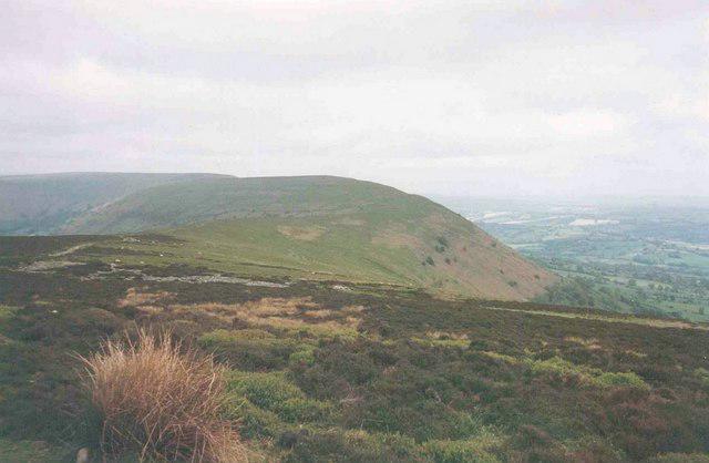 Photo could not load
SO3025 : Hatterrall Ridge looking north
Jonathan Billinger
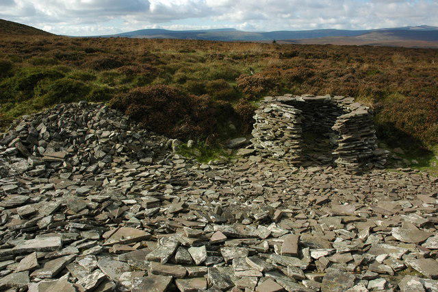 Photo could not load
SO3025 : Old quarry, Hatterrall Hill
Philip Halling
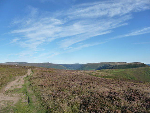 Photo could not load
SO3025 : On the Hatterrall Ridge in the Black Mountains
Jeremy Bolwell
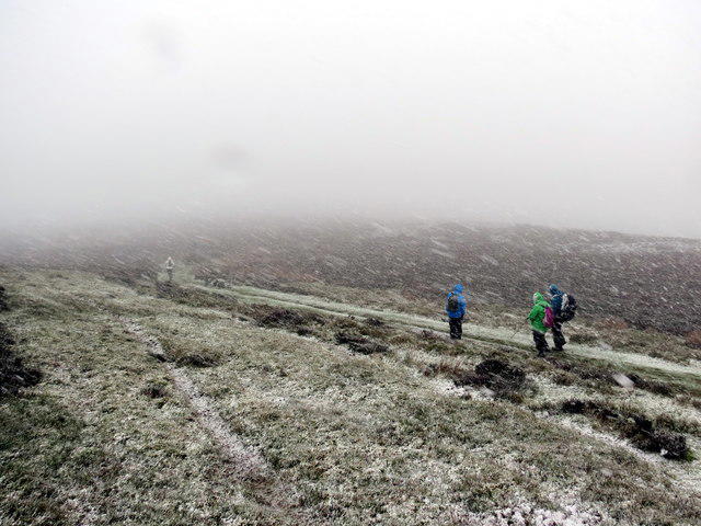 Photo could not load
SO3025 : Mynydd Cerrig / Hatterrall Hill
Alan Richards
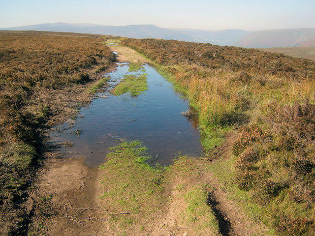 Photo could not load
SO3025 : Track across the top of Hatterrall Hill
Trevor Rickard
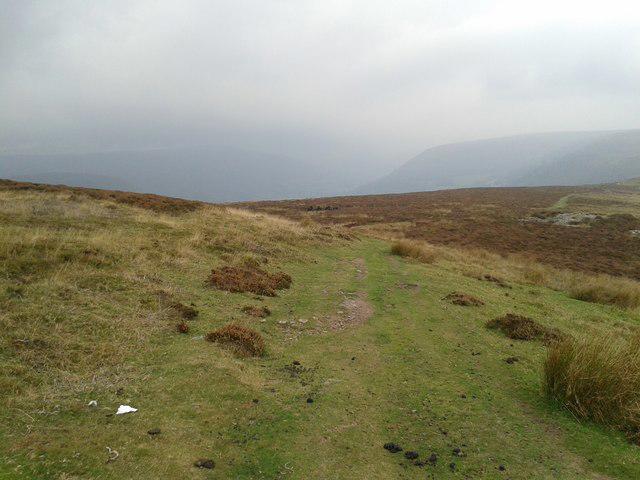 Photo could not load
SO3025 : Looking south along Offa's Dyke path
Rob Purvis
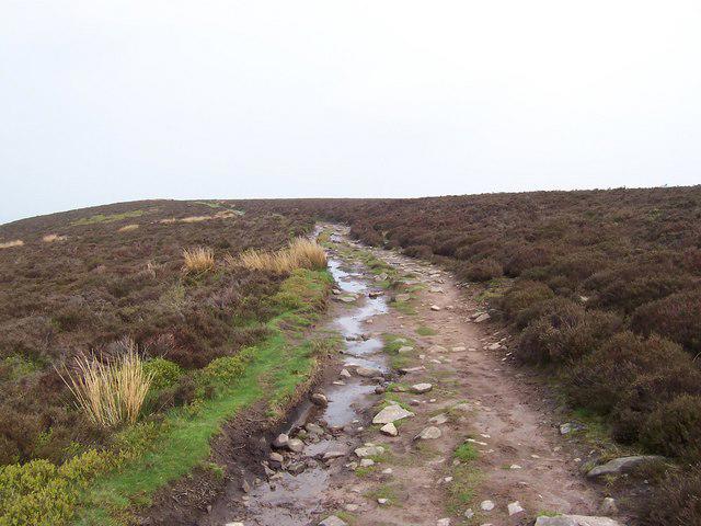 Photo could not load
SO3025 : Hatterrall Hill (2)
Chris Heaton
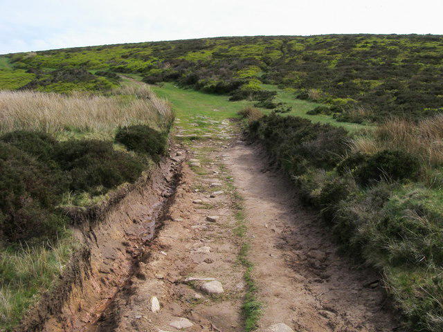 Photo could not load
SO3025 : Offa's Dyke Path
Shaun Ferguson
Hill facts and local notes
Classifications
Elevation
531m
1,742 ft
Prominence
45m
Coordinates
51.9250, -3.0072
SO308256
OS Map
161
Explorer: OL13N
At the Summit
The summit features a prominent trig point and a small stone cairn, perfect for the obligatory summit selfies. On a clear day, you might even consider it a natural observation deck!
Terrain & Geology
Hatterrall Hill is predominantly formed from Old Red Sandstone, which gives it a distinctive reddish hue. The underlying geology includes layers of sedimentary rock that have created a diverse landscape of cliffs and rolling hills.
Views & Scenery
From the summit, you can see far-reaching views of the Wye Valley, the Black Mountains, and on clear days, the Brecon Beacons
History & Heritage
Name Origin
The name 'Hatterrall' is thought to derive from the Welsh words for 'to cut' and 'hill', although local legends vary.
Historical Significance
Hatterrall Hill is significant in local folklore and natural history, serving as a landmark for travellers and a site for historical events.
Getting There & Facilities
Parking
There is a small car park at Pandy (SO 307 245), with additional parking available at various lay-bys along the main road.
Public Transport
The nearest bus service is from Abergavenny to Pandy, but check local schedules for availability.
Nearby Facilities
There are no facilities directly on Hatterrall Hill; however, Abergavenny offers cafés, pubs, and toilets
Safety Information
Known Hazards
- Beware of sudden weather changes; the mountain can quickly blanket itself in mist. The rocky terrain can be slippery, especially after rain.
General Safety Tips
- Check weather conditions before setting out
- Carry appropriate clothing and equipment
- Let someone know your planned route
- Take a map, compass, and GPS device
- Carry emergency supplies: food, water, first aid kit, torch
Hills
Some common questions about the hills answered
Are there group walks up Hatterrall Hill?
Many walkers use Walkmates to join or organise walks with others. You can check for group walks around Hatterrall Hill through the maps
Are there other walkers around Hatterrall Hill?
Activity varies by location and time, but Walkmates lets you see whether others have shared walks or shown interest in this area. Find other people through the walking friends search walking friends for Hatterrall Hill search or of course create your own walk for Hatterrall Hill
Can I organise a walk to Hatterrall Hill?
Yes. If there aren’t any walks listed already, you can create a walk and make it available for others to join.
If you're signed up to Walkmates, you can create a walk to Hatterrall Hill.
How do I find a walk up this hill?
There are often multiple ways to walk this hill, depending on experience and route preference. Walkmates helps you explore walks and routes that others have shared.
Can I suggest a new route up Hatterrall Hill?
Yes. You can suggest or create routes to share with others. Walkmates focuses on the social side of walking, so routes are used to help people organise walks and explore areas together, rather than as detailed navigation tools or route libraries.
Other uses really appreciate knowledgeable walkers sharing their routes. Share your favourite route to Hatterrall Hill here
The is an error or something incorrect about this hill. How do I let you know?
We always strive to keep the information on Walkmates as accurate as possible. If you find an error, please let us know through the contact form and we'll aim to correct it as quickly as possible
Community Discussion
Comments
Location
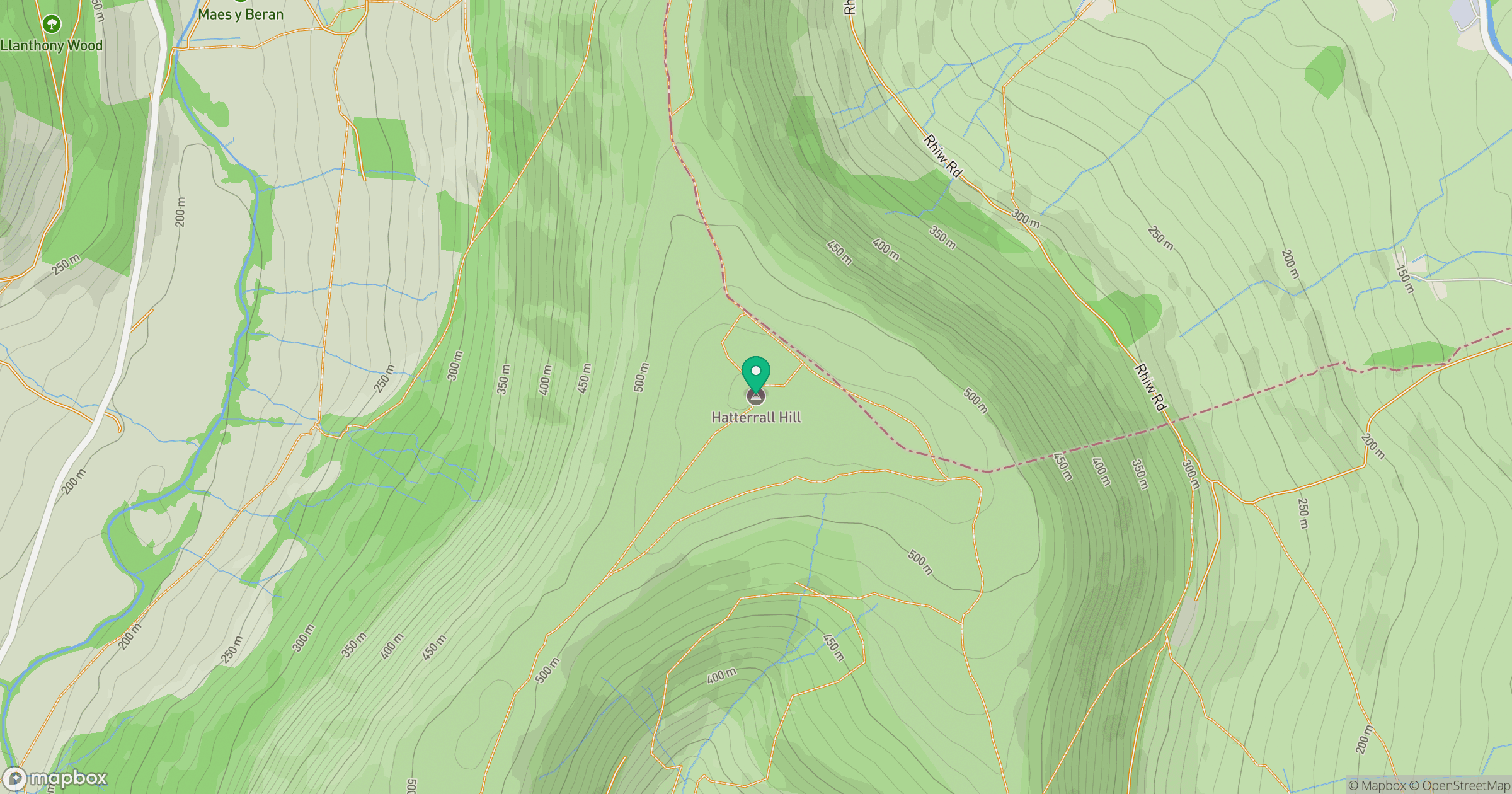
Grid reference: SO308256
View on OpenStreetMapOpens a map in a new tab, centred on the hill.

No comments yet. Be the first.