

Haigh
Good walks are even better shared.
SD6008 : St David's Parish Church, Copperas Lane
David Dixon Photo source
Overview
Haigh Overview
Haigh, standing at 173 meters, may not be the mightiest mountain around, but what it lacks in height, it makes up for in character and stunning views. Nestled in the North Pennines, it's a hidden gem known primarily to locals and seasoned hikers.
Geology
The geology of Haigh is quite fascinating. The mountain features limestone and sandstone formations that reveal a rich geological history. You'll find interesting textures and patterns in the rocks, perfect for anyone fancying themselves an amateur geologist. Just don’t be surprised if you end up talking to a rock about its life story!
Routes
There are a couple of popular routes to explore:
Haigh from the NE (Waddington)
- This route offers a moderate challenge with a steep ascent that rewards you with delightful views of the surroundings. Expect it to take around 2.5 hours.
Haigh Circular Route
- A rewarding circular walk that allows you to appreciate the variety of terrain this area has to offer. Best to allocate around 3 hours.
Summit Features
Reaching the summit brings you face-to-face with a stone cairn and a trig point—perfect for a photo op! It’s a little place where you can take a breather, appreciate the air (which is reputedly fresher up here), and contemplate whether another piece of cake is necessary back at the pub.
Terrain Type
Expect grassy paths complemented with rocky outcrops, ideal for those who enjoy a bit of variety underfoot. Just watch your step, as it can be tricky in some places!
Views
The views from Haigh are nothing short of impressive. On a clear day, be prepared to feast your eyes on the Ribble Valley and, if you squint hard enough, the distant peaks of the Yorkshire Dales. Ideal for photographers and nature enthusiasts alike! Spring and autumn provide the best experiences, when the scenery is awash with colour.
Hazards
As with any outdoor adventure, it’s essential to be cautious. The rocks can be slippery after rain—much like your dog on a kitchen floor! And while sheep are delightful, ensure you maintain your distance as they may decide to give you a judging look.
Access
Nearest Parking
There’s a convenient parking area in Waddington, a short walk from the trailhead. Just follow the sound of laughter from fellow hikers!
Public Transport
Buses run regularly to Waddington from Clitheroe, making it accessible for those wishing to leave the car behind.
Nearest Town
Clitheroe serves as the closest town and offers a variety of amenities, including places to grab a pre-hike breakfast or a post-hike pint.
Facilities
Waddington has several cafes and pubs where you can refuel, as well as public toilets. A regular pit stop for hikers indeed!
History
The name 'Haigh', rooted in Old Norse, suggests a historical connection to the land, perhaps a reminder of ancient traders and wandering spirits. The area bears stories of old—so keep your ears open; who knows what legends may whisper on the wind?
Conclusion
So there you have it—Haigh might not be the tallest, but it’s undeniably charming and offers a delightful day out. Whether you're hiking with friends or wandering solo, it’s a perfect spot for gaining altitude, perspective, and perhaps a little whimsy. Don’t forget your snacks!
Explore routes near Haigh
Walks starting near this hill. Open a route to check its map, distance and full itinerary.
Brockholes Reserve Tour
View route
Brockholes Wildflower Year guided walk
View route
Brockholes Reserve Tour
View route
History of Christmas guided walk
View route
Route planning notes
These notes describe possible approaches. Check a route's map and access information when planning your walk.
Haigh from the NE (Waddington)
A pleasant route starting from Waddington, offering a steep ascent followed by a more gradual climb to the summit.
Haigh Circular Route
This circular walk takes you around the mountain, providing varying terrain and stunning views.
Make a day of it, together
Find someone to share the walk with, or organise a day out along a route you like.
Photo Gallery
View all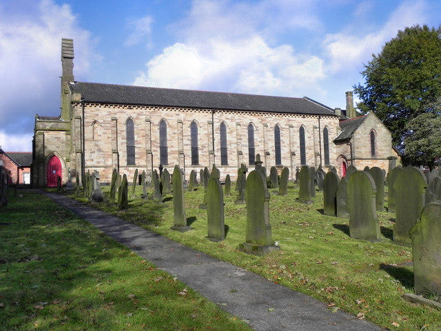 Photo could not load
SD6008 : St David's Parish Church, Copperas Lane
David Dixon
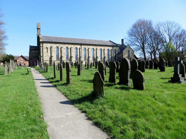 Photo could not load
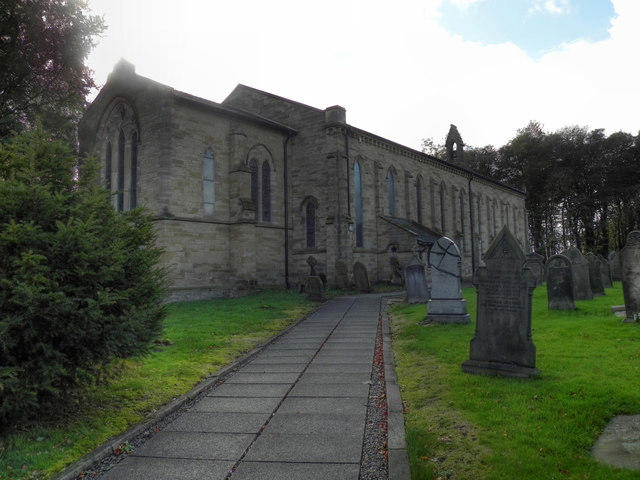
SD6008 : St. David's, Haigh
philandju
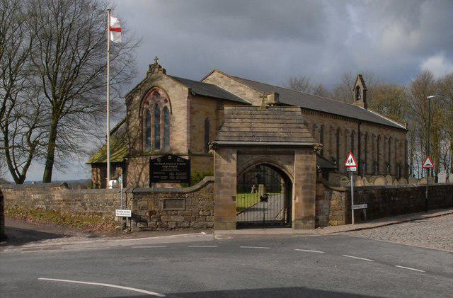 Photo could not load
SD6008 : St. David's
Galatas
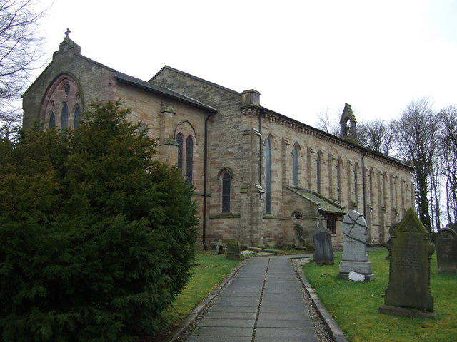 Photo could not load
SD6008 : St David's Church, Haigh
JThomas
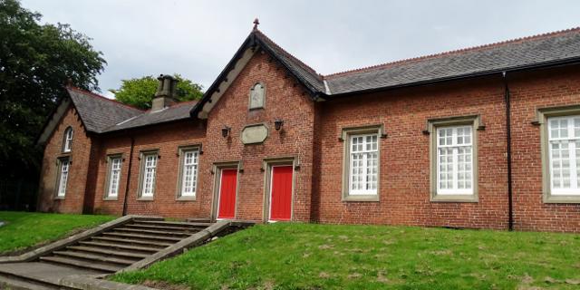 Photo could not load
SD6009 : Haigh and Aspull primary school
philandju
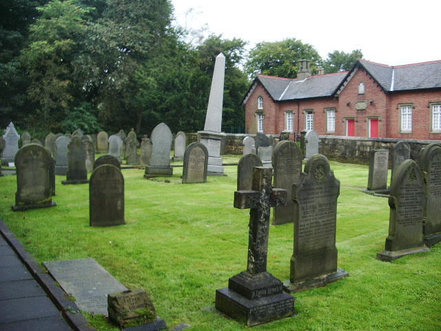 Photo could not load
SD6008 : Pisa has its Tower, Haigh has its Gravestone
Alexander P Kapp
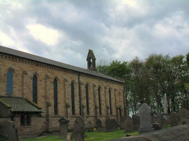 Photo could not load
SD6008 : St David's Church
Gerald England
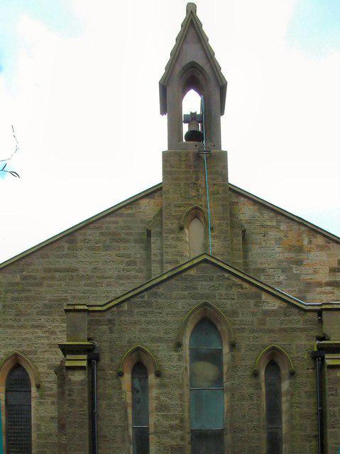 Photo could not load
SD6008 : St David's bell tower
Gerald England
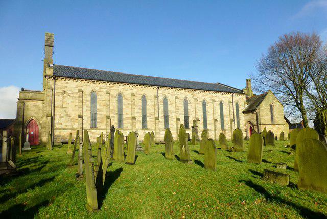 Photo could not load
SD6008 : St David's Church, Haigh And Aspull
Rude Health
SD6008 : The Parish Church of St David, Haigh and Aspull
David Dixon
Hill facts and local notes
Classifications
Elevation
161m
528 ft
Prominence
29m
Coordinates
53.5766, -2.5958
SD606090
OS Map
109
Explorer: 276
At the Summit
The summit is marked by a small stone cairn and offers a trig point for those enthusiastic about their summit selfies.
Terrain & Geology
Haigh is predominantly composed of limestone and sandstone, providing some stunning features such as exposed rock faces and interesting mineral formations.
Views & Scenery
From the summit, you'll have dazzling views of the Ribble Valley and distant peaks of the Yorkshire Dales on a clear day.
History & Heritage
Name Origin
The name 'Haigh' is derived from the Old Norse term for 'hedge' or 'fence', reflecting its historical landscape.
Historical Significance
The region has historical significance with remnants of ancient pathways used by traders and local folklore linking it to various legends.
Getting There & Facilities
Parking
Parking is available at the Waddington village car park, which is approximately a 15-minute walk from the ascent point.
Public Transport
The nearest bus stop is in Waddington, with regular buses from Clitheroe.
Nearby Facilities
There are cafes and pubs in Waddington offering refreshments. Public toilets are also available in the village.
Safety Information
Known Hazards
- Be mindful of slippery rocks, especially after rain. Also, keep an eye out for the occasional rogue sheep.
General Safety Tips
- Check weather conditions before setting out
- Carry appropriate clothing and equipment
- Let someone know your planned route
- Take a map, compass, and GPS device
- Carry emergency supplies: food, water, first aid kit, torch
Hills
Some common questions about the hills answered
Are there group walks up Haigh?
Many walkers use Walkmates to join or organise walks with others. You can check for group walks around Haigh through the maps
Are there other walkers around Haigh?
Activity varies by location and time, but Walkmates lets you see whether others have shared walks or shown interest in this area. Find other people through the walking friends search walking friends for Haigh search or of course create your own walk for Haigh
Can I organise a walk to Haigh?
Yes. If there aren’t any walks listed already, you can create a walk and make it available for others to join.
If you're signed up to Walkmates, you can create a walk to Haigh.
How do I find a walk up this hill?
There are often multiple ways to walk this hill, depending on experience and route preference. Walkmates helps you explore walks and routes that others have shared.
Can I suggest a new route up Haigh?
Yes. You can suggest or create routes to share with others. Walkmates focuses on the social side of walking, so routes are used to help people organise walks and explore areas together, rather than as detailed navigation tools or route libraries.
Other uses really appreciate knowledgeable walkers sharing their routes. Share your favourite route to Haigh here
The is an error or something incorrect about this hill. How do I let you know?
We always strive to keep the information on Walkmates as accurate as possible. If you find an error, please let us know through the contact form and we'll aim to correct it as quickly as possible
Community Discussion
Comments
Location
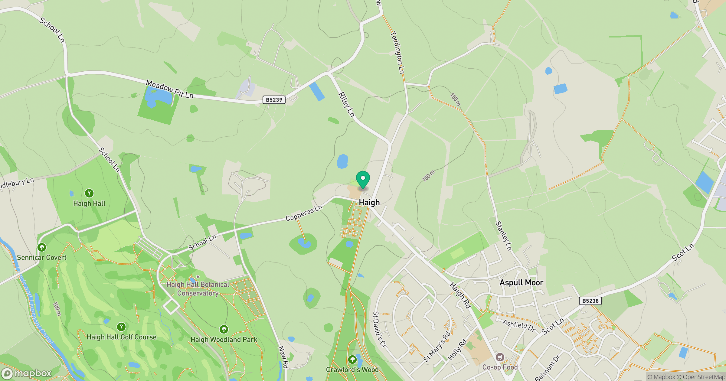
Grid reference: SD606090
View on OpenStreetMapOpens a map in a new tab, centred on the hill.




No comments yet. Be the first.