

Grange Fell
Good walks are even better shared.
NY2481 : Trig point of Grange Fell
Trevor Littlewood Photo source
Overview
Grange Fell: A Gem of the Lake District
Grange Fell, standing at a modest height of 287 meters, may not be the tallest mountain in the Lake District, but it certainly packs a punch when it comes to stunning views and pleasant walks. With its prominence, it is classified as a Marilyn, which essentially means it is a hill with a drop of at least 150 meters on all sides. Great for leg day!
Geology
The beauty of Grange Fell's geological composition lies in its volcanic origins. Part of the Borrowdale Volcanic Group, the fell is characterised by various volcanic rocks that often form precarious scree slopes. So, if you were ever wondering why the ground feels like it’s plotting against your foot placements, now you know!
Routes
One of the most popular and accessible routes starts from Grange Village. This trek is roughly 5.5 km and can typically be tackled in about 2.5 hours. It passes through delightful woodlands before leading you to the rocky summit, offering a fine blend of effort and reward.
Summit Features
As you reach the top of Grange Fell, you'll be welcomed by a rocky outcrop providing panoramic views of Derwentwater, Catbells, and beyond. Just don’t expect a five-star resort—but the scenery is quite the luxury experience, especially when the sun does its thing!
Terrain Type
The terrain here is predominantly grassy, featuring rocky outcrops and a merciful amount of scree. It’s gently undulating, perfect for those who enjoy a little workout without climbing Everest!
Views
The summit rewards climbers with spectacular vistas. Notable landmarks include Derwentwater glimmering below and the charming silhouette of Catbells keeping vigil nearby. If you’re lucky enough to be there on a clear day, it almost feels like you can see the entire Lake District sprawling before you! The best seasons for panoramic views are undoubtedly spring and autumn when the colours are vivid, and the weather often plays nice.
Hazards
As with many Lake District jaunts, be wary of changing weather conditions. It’s not uncommon for sunny days to turn into murky ones without much notice. The rocks can be slippery, particularly if you visit after a rain, and those those steep drops near the summit could give any fear of heights an immediate workout. Safety first, folks!
Nearby Summits
If you're feeling adventurous, nearby summits include:
- Catbells at 451 meters
- Latrigg at 369 meters
They all promise delightful views and a hearty workout!
Access
Getting there is a breeze. The nearest parking is available at Grange Village. However, don’t expect a huge lot; it’s limited—aim for early bird catches the worm! Public transportation is also quite straightforward, with regular bus services from Keswick.
Facilities
After all that climbing, you’ll probably fancy a well-deserved cuppa. Thankfully, there's a lovely café in Grange Village where you can replenish your energy levels along with public toilets available nearby for those urgent parts of post-hike hydration.
History
The name 'Grange' has a lovely story, deriving from Old French where it means 'granary'. This nod to history hints at a time when agriculture played a significant role here. Grange Fell continues to be a treasured spot in local hiking culture, adored by both locals and tourists.
In conclusion, Grange Fell may not be the highest mountain out there, but its charm, accessibility, and breathtaking views make it a must-visit for any hiking enthusiast in the Lake District. Happy hiking and remember, what goes up must come down—preferably, in a controlled manner!
Explore routes near Grange Fell
Walks starting near this hill. Open a route to check its map, distance and full itinerary.
Hoddom Castle and River Annan Woodland Circuit
View route
Newcastleton Forest Priest Hill Viewpoint Trail
View route
Forest of Ae Water of Ae Riverside Trail
View route
Moffat Gallow Hill Woodland and Viewpoint Circuit
View route
Route planning notes
These notes describe possible approaches. Check a route's map and access information when planning your walk.
From Grange Village
A popular and straightforward walk starting from Grange Village, taking you through beautiful woodland before ascending to the summit.
Make a day of it, together
Find someone to share the walk with, or organise a day out along a route you like.
Photo Gallery
View all Photo could not load
NY2481 : Trig point of Grange Fell
Trevor Littlewood
 Photo could not load
NY2481 : Grange Fell Trig Point Flush Bracket 10127
thejackrustles
 Photo could not load
NY2481 : Grange Fell
Rude Health
 Photo could not load
NY2481 : OS Grange Fell Post
thejackrustles
Hill facts and local notes
Classifications
Elevation
319m
1,048 ft
Prominence
152m
Coordinates
55.1260, -3.1871
NY244819
OS Map
79
Explorer: 323S
At the Summit
The summit features a distinctive rocky outcrop with an impressive view over Derwentwater and the surrounding fells, though don't expect a luxury resort up there!
Terrain & Geology
Grange Fell is primarily composed of volcanic rocks from the Borrowdale Volcanic Group. The terrain features a mixture of scree and outcrops typical of the rugged Lake District landscape.
Views & Scenery
You'll be treated to stunning views of Derwentwater, Catbells, and the surrounding fells. On a clear day, you might even spot a few more far-off peaks!
History & Heritage
Name Origin
The name 'Grange' stems from Old French 'grange' meaning 'granary', indicative of the area's agricultural past.
Historical Significance
Grange Fell is noted for its accessibility and scenic views, making it a favourite among local hikers and visitors alike.
Getting There & Facilities
Parking
There is parking available at Grange Village (limited spaces) and a few nearby lay-bys.
Public Transport
Regular buses from Keswick to Grange Village.
Nearby Facilities
A charming café can be found in Grange Village for refreshments, as well as public toilets near the village.
Safety Information
Known Hazards
- Beware of sudden weather changes common in the Lake District, as well as slippery rocks and steep drops near the summit.
General Safety Tips
- Check weather conditions before setting out
- Carry appropriate clothing and equipment
- Let someone know your planned route
- Take a map, compass, and GPS device
- Carry emergency supplies: food, water, first aid kit, torch
Hills
Some common questions about the hills answered
Are there group walks up Grange Fell?
Many walkers use Walkmates to join or organise walks with others. You can check for group walks around Grange Fell through the maps
Are there other walkers around Grange Fell?
Activity varies by location and time, but Walkmates lets you see whether others have shared walks or shown interest in this area. Find other people through the walking friends search walking friends for Grange Fell search or of course create your own walk for Grange Fell
Can I organise a walk to Grange Fell?
Yes. If there aren’t any walks listed already, you can create a walk and make it available for others to join.
If you're signed up to Walkmates, you can create a walk to Grange Fell.
How do I find a walk up this hill?
There are often multiple ways to walk this hill, depending on experience and route preference. Walkmates helps you explore walks and routes that others have shared.
Can I suggest a new route up Grange Fell?
Yes. You can suggest or create routes to share with others. Walkmates focuses on the social side of walking, so routes are used to help people organise walks and explore areas together, rather than as detailed navigation tools or route libraries.
Other uses really appreciate knowledgeable walkers sharing their routes. Share your favourite route to Grange Fell here
The is an error or something incorrect about this hill. How do I let you know?
We always strive to keep the information on Walkmates as accurate as possible. If you find an error, please let us know through the contact form and we'll aim to correct it as quickly as possible
Community Discussion
Comments
Location
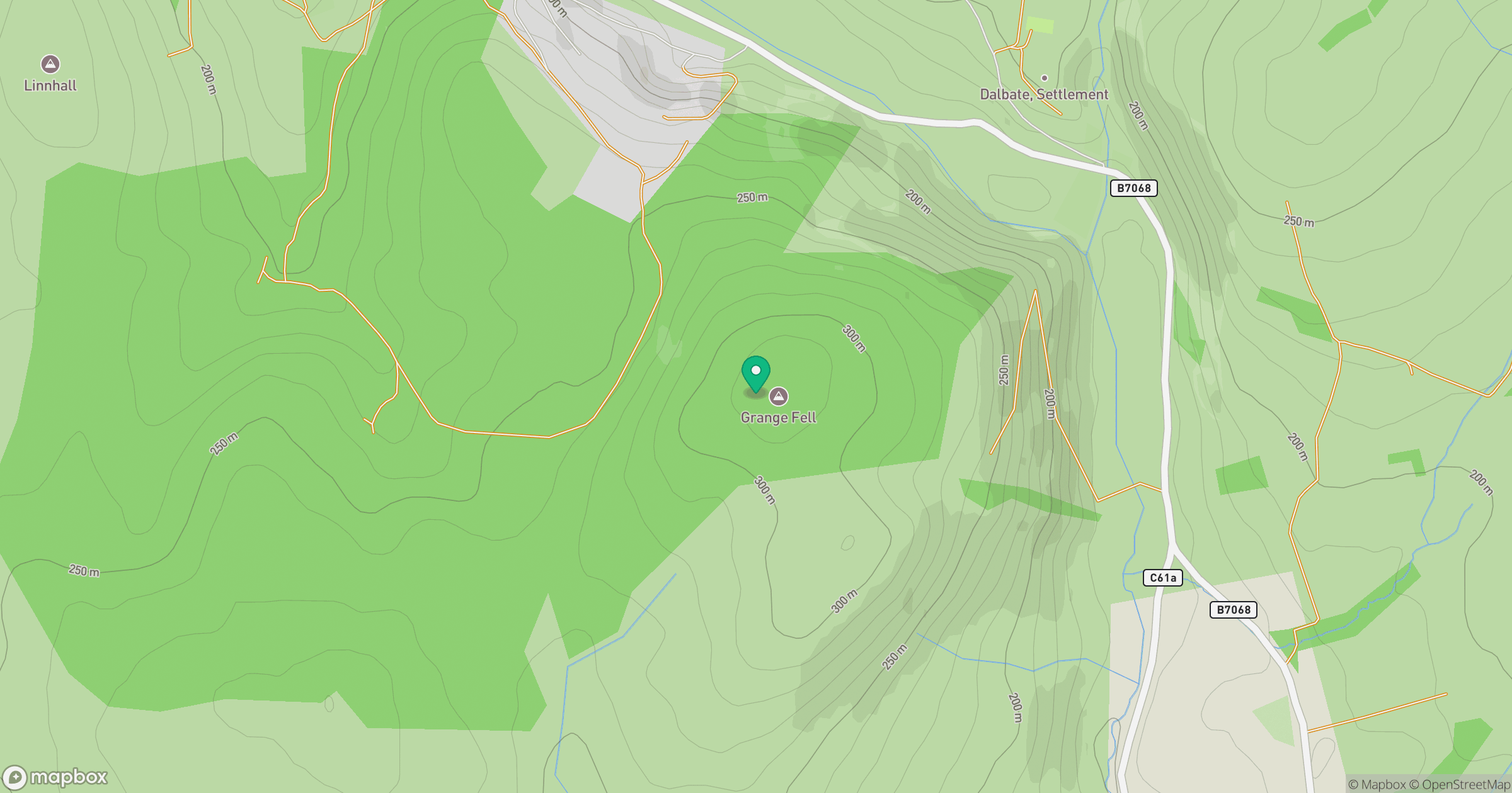
Grid reference: NY244819
View on OpenStreetMapOpens a map in a new tab, centred on the hill.
Nearby Hills
Broad Law
840m
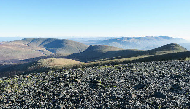
Skiddaw
930m
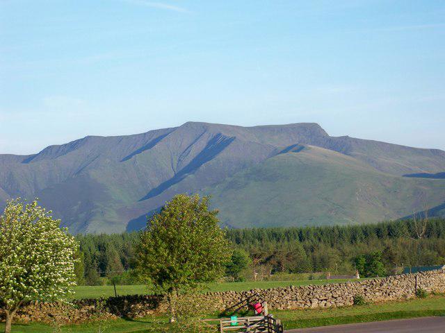
Blencathra - Hallsfell Top
868m
Grisedale Pike
790m
Crag Hill [Eel Crag]
839m
No comments yet. Be the first.