
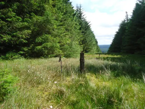
Quickningair Hill
Good walks are even better shared.
Overview
Quickningair Hill
Overview
Nestled in the North Pennines, Quickningair Hill is a modest yet scenic Hewitt that offers an inviting escape for hikers seeking awe-inspiring views and a good dose of fresh air. Standing at 250 meters, it may not be the tallest friend in the hiking crowd, but it boasts enough charm to be a memorable day out.
Geology
Quickningair Hill is predominantly made up of Carboniferous limestone, showcasing karst features that are a treat for geologists and nature lovers alike. You may stumble across limestone pavements and fossilised remnants of ancient sea life, a testament to the area's prehistoric origins.
Routes
The most popular route begins from Cowshill, a picturesque village that gives a quintessentially English feel to your adventure. The hike spans around 5.5 km, taking approximately 2.5 hours at a moderate pace. It winds through verdant pastures and includes a collection of pastoral charms along the way.
Summit Features
At the top, hikers are welcomed by a stone cairn. While it may not be a grand edifice, it provides an excellent spot to collect your thoughts (or your snacks) while taking in the scenery.
Terrain Type
Expect grassy slopes punctuated with rocky outcrops, alongside some boggy sections that may require your best navigating skills. A good pair of hiking boots is recommended to keep your feet steady.
Views
The summit promises delightful views of Weardale below, and on exceptionally clear days, the majestic outline of the Lake District can be discerned on the horizon. The best seasons for striking vistas are spring and early autumn, though the wildflower display in summer is nothing short of spectacular.
Hazards
Be mindful of the terrain; if there’s been recent rain, the paths may become a bit tricky. Slippery spots do exist, so do watch your footing!
Nearby Summits
After Quickningair, consider visiting 'Mountain Edge Hill' and 'Bishop Auckland Hill', both of which add a bit more height and charm to your day out.
Access
Nearest Parking
Limited parking is available in Cowshill, close to the village green.
Public Transport
A bus service operates from Stanhope, a friendly little town that is a decent jumping-off point to this hidden gem of a hike.
Nearest Town
The closest town is Stanhope, located about 8 km south of Cowshill, where you can grab essential supplies before or after your adventure.
Facilities
Cafes and toilets can be found in Stanhope, though expect a quaint, country vibe; you won’t find a three-course meal here, but a warm cup of tea and a slice of cake will do the trick just fine.
History
Name Meaning
The etymology of Quickningair hints at its Norse roots, possibly translating to 'quickening air', suggesting those brisk winds might just give you a second wind as you trek.
Significance
The area’s history as a lead mining hub in the 19th century is evident, with the landscape dotted with remnants of old mining tracks adding a layer of history to your hike.
So there you have it! Quickningair Hill may not steal the limelight in height, but it certainly delights with character and splendid vistas. Get your boots on and march up to see for yourself!
Explore routes near Quickningair Hill
Public walks starting within 80 km of this hill. Nearby does not mean a route reaches the summit; check its map and access before setting out.
Moffat Gallow Hill Woodland and Viewpoint Circuit
View route
Hawick: Wilton Lodge Park and River Teviot Circular
View route
Selkirk Haining Loch and Woodland Circuit
View route
Selkirk Ettrick Water North Riverside Circuit
View route
Route planning notes
These notes describe possible approaches, not verified navigable routes or permission to cross land. Check current paths, local access rules and conditions before setting out.
Starting Point: Cowshill
An invigorating ascent starting from the charming village of Cowshill, this route meanders through lush pastures before carrying you towards the summit.
Make a day of it, together
Find someone to share the walk with, or organise a day out along a route you like.
Photo Gallery
View all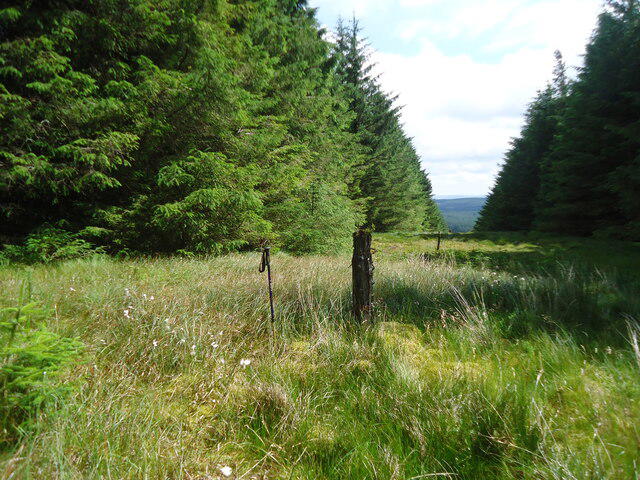 Photo could not load
NT2707 : Forest ride on Quickningair Hill
Michael Earnshaw
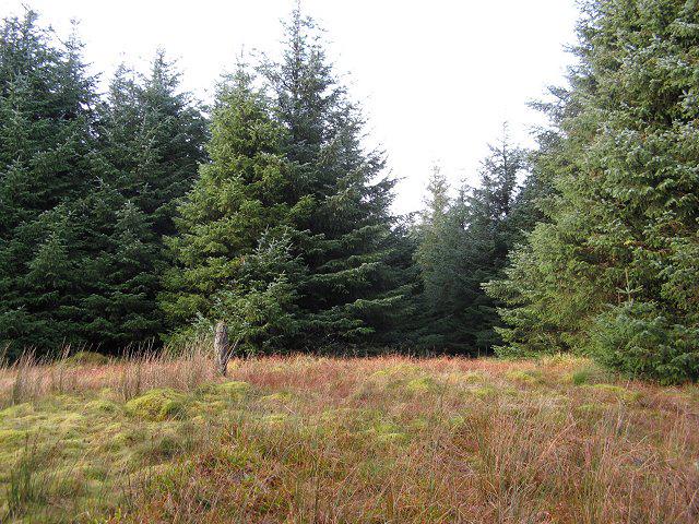 Photo could not load
NT2707 : Quickningair Hill
Richard Webb
Hill facts and local notes
Classifications
Elevation
488m
1,601 ft
Prominence
112m
Coordinates
55.3549, -3.1513
NT271073
OS Map
79
Explorer: 330
At the Summit
The summit is crowned with a humble stone cairn, offering weary hikers a solid resting spot and a great photo op.
Terrain & Geology
Primarily composed of Carboniferous limestone, Quickningair Hill features interesting karst topography with limestone pavements and a variety of fossils for the geology enthusiast.
Views & Scenery
From the top, you can relish shimmering views of Weardale, and on a clear day, the distant silhouette of the Lake District.
History & Heritage
Name Origin
The name 'Quickningair' may derive from Old Norse, possibly meaning 'quickening air', a reference to the brisk winds at the summit.
Historical Significance
Historically, this area was important for lead mining in the 19th century, with remnants of old mining tracks scattered throughout.
Getting There & Facilities
Check current local access restrictions, parking rules and transport timetables before travelling. These notes do not confirm public access to the summit.
Parking
There is limited parking available in Cowshill, adjacent to the village green.
Public Transport
The nearest bus service is from Stanhope, which runs a few times daily.
Nearby Facilities
While facilities within Cowshill are sparse, Stanhope has cafes and toilets available for hikers.
Safety Information
Known Hazards
- Boggy paths can be slippery, especially after rain. Watch your step!
General Safety Tips
- Check weather conditions before setting out
- Carry appropriate clothing and equipment
- Let someone know your planned route
- Take a map, compass, and GPS device
- Carry emergency supplies: food, water, first aid kit, torch
Hills
Some common questions about the hills answered
Are there group walks up Quickningair Hill?
Many walkers use Walkmates to join or organise walks with others. You can check for group walks around Quickningair Hill through the maps
Are there other walkers around Quickningair Hill?
Activity varies by location and time, but Walkmates lets you see whether others have shared walks or shown interest in this area. Find other people through the walking friends search walking friends for Quickningair Hill search or of course create your own walk for Quickningair Hill
Can I organise a walk to Quickningair Hill?
Yes. If there aren’t any walks listed already, you can create a walk and make it available for others to join.
If you're signed up to Walkmates, you can create a walk to Quickningair Hill.
How do I find a walk up this hill?
There are often multiple ways to walk this hill, depending on experience and route preference. Walkmates helps you explore walks and routes that others have shared.
Can I suggest a new route up Quickningair Hill?
Yes. You can suggest or create routes to share with others. Walkmates focuses on the social side of walking, so routes are used to help people organise walks and explore areas together, rather than as detailed navigation tools or route libraries.
Other uses really appreciate knowledgeable walkers sharing their routes. Share your favourite route to Quickningair Hill here
The is an error or something incorrect about this hill. How do I let you know?
We always strive to keep the information on Walkmates as accurate as possible. If you find an error, please let us know through the contact form and we'll aim to correct it as quickly as possible
Community Discussion
Comments
Location
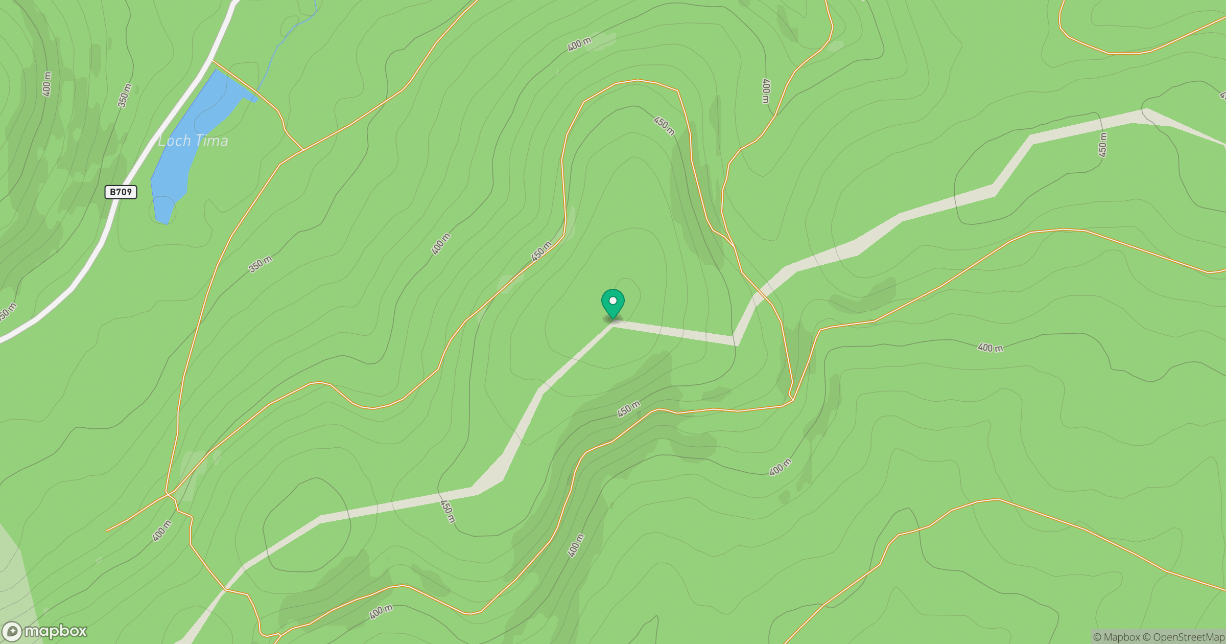
Grid reference: NT271073
View on OpenStreetMapOpens a map in a new tab, centred on the hill.
Hills within 30 km
Straight-line distance, not a walking route or confirmation of access.
No comments yet. Be the first.