

Fuar Bheinn
Good walks are even better shared.
NM8556 : Fuar Bheinn
Richard Webb Photo source
Overview
Fuar Bheinn: The Cold Mountain
Fuar Bheinn is perfectly nestled in the heart of the Scottish Highlands, towering at 711 meters. This Munro not only promises a rigorous trek but also rewards your efforts with some of the region's most stunning panoramas.
Geology
Made predominantly from granite, the mountain bears the marks of ancient glaciers. As you ascend, you can’t help but feel a part of time itself, gazing upon features sculpted thousands of years ago. Look out for interesting rock formations; you'll be telling your friends about your majestic encounters!
Routes
The popular Fuar Bheinn Loop is a captivating circular trek starting from the vicinity of Loch Awe. Covering approximately 11.5 km, this moderate hike typically takes around 5 hours. It's best to start early to avoid the pesky midday sun—and to make room for a post-hike pint or two!
Summit Features
When you finally reach the summit, expect to be greeted by a formidable cairn, a visual nod toward your foothold in this rugged wilderness. Take a moment here to bask in your achievement, and of course, snap a few photos—Instagram loves a good summit shot.
Terrain
The terrain is a mix of rocky paths punctuated by patches of grass, with some boggy sections that might challenge even the most skilled of hikers. Good footwear here is not just recommended, it’s an absolute necessity!
Views
Highlights from the summit include:
- The breathtaking expanse of Loch Awe shimmering below.
- The dominating presence of Ben Cruachan, rugged and noble.
Best Seasons for Views: Spring and summer are your best bets, offering lovely vistas to behold without the troublesome fog that can be common in autumn and winter.
Hazards
With every mountain come some major caveats. Steep sections can be slippery—especially if it’s been raining, so watch your step. Moreover, as the weather in the Highlands can be anything but predictable, it's wise to be prepared for shifts in visibility.
Access
Finding your way is fairly straightforward. The nearest parking area is at the end of the Loch Awe road, roughly 6 km from where the hike begins. Public transport is a tad bleak in this area, so do consider carpooling or planning your journey around bus schedules from Oban.
Facilities
On the way to your adventure, Taynuilt is your best bet for any last-minute supplies or a lovely café to fuel up at before the trek.
Conclusion
Fuar Bheinn is not just a patch of land; it's a chapter of Scottish heritage begging to be explored. So lace up those boots, grab your walking poles, and embark on an adventure where every step tells a story!
Happy hiking!
Explore routes near Fuar Bheinn
Walks starting near this hill. Open a route to check its map, distance and full itinerary.
Ben Nevis via Mountain Path
View route
Banavie to Glen Loy Aqueduct: Neptune’s Staircase Canal Towpath
View route
Crinan Canal: Bellanoch and Dunardry towpath return
View route
Beinn Ime from Succoth
View route
Route planning notes
These notes describe possible approaches. Check a route's map and access information when planning your walk.
Fuar Bheinn Loop
A popular circular route starting from the end of the Loch Awe road, this trek offers a picturesque approach to the summit.
Make a day of it, together
Find someone to share the walk with, or organise a day out along a route you like.
Photo Gallery
View all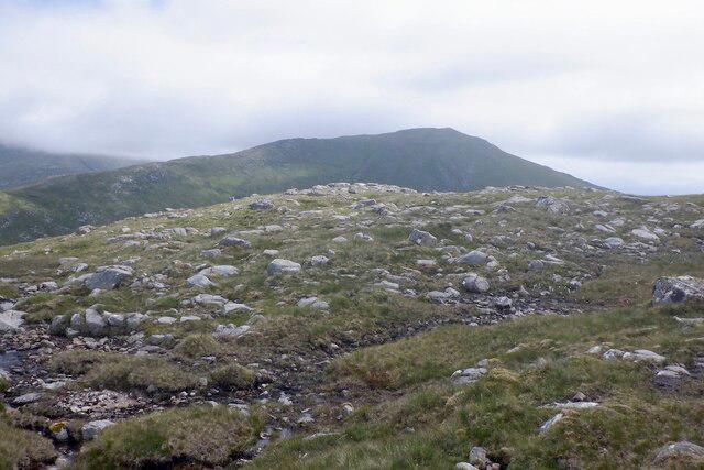 Photo could not load
NM8556 : Fuar Bheinn
Richard Webb
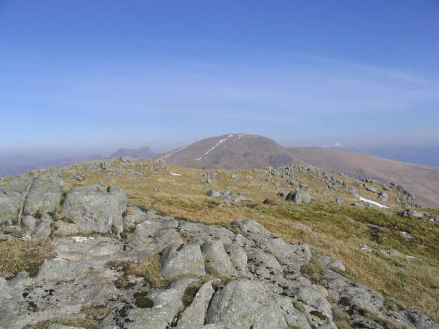 Photo could not load
NM8556 : From the summit area of Fuar Bheinn looking over to Creach Bheinn
Walter Baxter
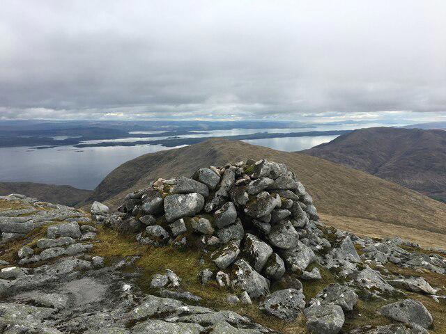 Photo could not load
NM8556 : Summit cairn of Fuar Bheinn
Steven Brown
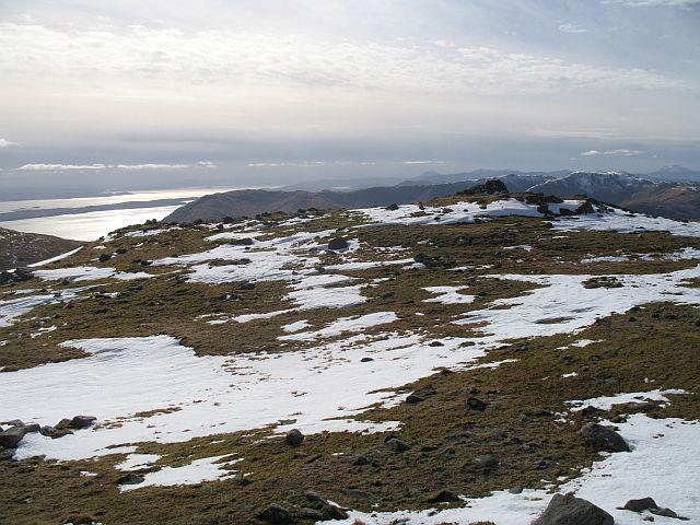 Photo could not load
NM8556 : Fuar Bheinn, The summit
Richard Webb
Hill facts and local notes
Classifications
Elevation
766m
2,513 ft
Prominence
226m
Coordinates
56.6495, -5.5031
NM853563
OS Map
49
Explorer: 376 383E
At the Summit
At the summit, you'll find a well-constructed cairn that offers both a sense of achievement and a great spot for a breather while you take in the views.
Terrain & Geology
Primarily composed of hard granite, Fuar Bheinn showcases the fascinating landscapes formed during the last Ice Age, with evidence of glaciation evident in its rugged terrain.
Views & Scenery
From the summit, enjoy breathtaking views of the surrounding peaks, including Ben Cruachan and the vast expanses of Loch Awe.
History & Heritage
Name Origin
The name 'Fuar Bheinn' translates as 'Cold Mountain', a fitting title given the often brisk breezes that breathe life into its summit.
Historical Significance
Fuar Bheinn, alongside its lofty companions, forms part of the rich tapestry of Scottish history, woven from tales of clans, battles, and breathtaking beauty.
Getting There & Facilities
Parking
There is parking available at the end of the road near Loch Awe, approximately 6 km before the starting point of the route.
Public Transport
Public transport options are limited. The nearest bus service runs from Oban but check the schedule ahead of your trip.
Nearby Facilities
Facilities are quite sparse near the mountain, but Taynuilt has a few cafes and shops for supplies. Toilets may be found in some locations, but plan ahead!
Safety Information
Known Hazards
- Steep sections can be tricky, especially when wet; care should be taken when navigating rocky paths.
- Weather can change rapidly, leading to reduced visibility.
General Safety Tips
- Check weather conditions before setting out
- Carry appropriate clothing and equipment
- Let someone know your planned route
- Take a map, compass, and GPS device
- Carry emergency supplies: food, water, first aid kit, torch
Hills
Some common questions about the hills answered
Are there group walks up Fuar Bheinn?
Many walkers use Walkmates to join or organise walks with others. You can check for group walks around Fuar Bheinn through the maps
Are there other walkers around Fuar Bheinn?
Activity varies by location and time, but Walkmates lets you see whether others have shared walks or shown interest in this area. Find other people through the walking friends search walking friends for Fuar Bheinn search or of course create your own walk for Fuar Bheinn
Can I organise a walk to Fuar Bheinn?
Yes. If there aren’t any walks listed already, you can create a walk and make it available for others to join.
If you're signed up to Walkmates, you can create a walk to Fuar Bheinn.
How do I find a walk up this hill?
There are often multiple ways to walk this hill, depending on experience and route preference. Walkmates helps you explore walks and routes that others have shared.
Can I suggest a new route up Fuar Bheinn?
Yes. You can suggest or create routes to share with others. Walkmates focuses on the social side of walking, so routes are used to help people organise walks and explore areas together, rather than as detailed navigation tools or route libraries.
Other uses really appreciate knowledgeable walkers sharing their routes. Share your favourite route to Fuar Bheinn here
The is an error or something incorrect about this hill. How do I let you know?
We always strive to keep the information on Walkmates as accurate as possible. If you find an error, please let us know through the contact form and we'll aim to correct it as quickly as possible
Community Discussion
Comments
Location
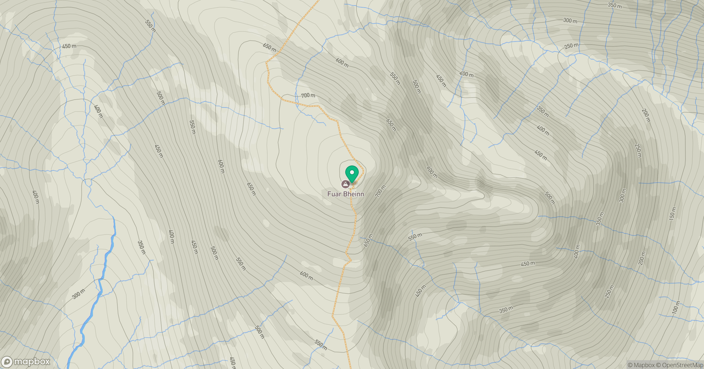
Grid reference: NM853563
View on OpenStreetMapOpens a map in a new tab, centred on the hill.
No comments yet. Be the first.