
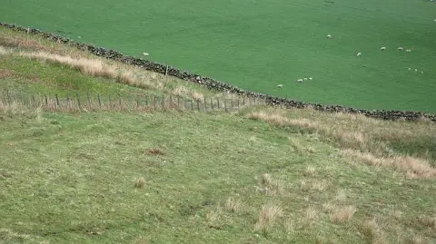
Drochil Hill
Good walks are even better shared.
Overview
Drochil Hill
Drochil Hill, standing proudly at 397 meters, is not just another bump on the horizon; it's a Marilyn, and it's worth every step of the climb! Located in the scenic Scottish Borders, this quaint hill offers a blend of natural beauty and historical significance that is sure to charm any hiker.
Geology
The hill is primarily composed of ancient volcanic rock, a remnant of intense geological activity that occurred millions of years ago. This unique geology contributes to its rich flora, perfect for adventurous botanists and casual walkers alike. So, whether you're here for a leisurely stroll or a serious hike, the varied landscape provides plenty of opportunities to admire nature.
Routes
The most popular route is the Drochil Hill Circuit. It's approximately 6.5 km in length and typically takes about 2.5 hours to complete. The circuit is considered moderate in difficulty, making it accessible for families and those who may not have a mountain goat's fitness level. Just remember, brisk walking burns calories, and a light jog might help you reach the summit faster, but it's not a race!
Summit Features
At the summit, you’ll find a small but delightful stone cairn. Many who've reached the top have left little trinkets to commemorate their journey. It's as if the cairn whispers tales of adventures past!
Terrain Type
The terrain is predominantly grassy, with patches of rich heather and rocky outcrops that add just the right amount of challenge for your feet.
Views
The views from the summit are simply staggering on a clear day. Highlights include breathtaking vistas of the Eildon Hills and the distant Cheviots. It’s especially stunning in spring and autumn when nature puts on its finest colours. Grab your camera; you won’t want to miss capturing these sights!
Hazards
While hiking is all fun and games, it’s essential to keep an eye on the weather conditions that can change rapidly. Slippery paths and unseen rocky outcrops may lurk beneath the heather, so tread carefully.
Nearby Summits
If you're feeling adventurous and looking for extra credit, consider heading over to Black Hill at 400 meters or Bough Parley Hill, a heftier 499 meters.
Access
The nearest parking can be found in the village of Stow, just a hop away at approximately 2 km. If you're using public transport, be aware that bus services from Edinburgh to Stow may not be frequent, which makes carpooling a grand idea.
Facilities
Once you're back from your jaunt, head into Stow, where small local cafes and friendly pubs await your arrival. You'll certainly want to treat yourself to some refreshments!
History
The word 'Drochil' comes from the Gaelic 'Drochaid,' meaning bridge, likely named for the ancient paths that traversed this landscape. Historically significant for sheep farming and drover's routes, it’s a hill steeped in the rich cultural tapestry of Scotland, a testament to the rugged resilience of its past inhabitants.
So, pack your rucksack, lace up your boots, and set off on an adventure to Drochil Hill. Every summit holds a story, and this one surely has a tale or two to tell!
Happy Hiking!
Explore routes near Drochil Hill
Public walks starting within 80 km of this hill. Nearby does not mean a route reaches the summit; check its map and access before setting out.
Peebles to Neidpath Castle: Tweed Riverside Walk
View route
Cademuir Forest Pilots Trail
View route
East Calder: Almondell, Mandela Bridge and River Almond Circuit
View route
Water of Leith: Slateford to Leith
View route
Route planning notes
These notes describe possible approaches, not verified navigable routes or permission to cross land. Check current paths, local access rules and conditions before setting out.
Drochil Hill Circuit
A lovely circular route starting from the east, offering panoramic views and gentle slopes, perfect for a leisurely hike.
Make a day of it, together
Find someone to share the walk with, or organise a day out along a route you like.
Photo Gallery
View all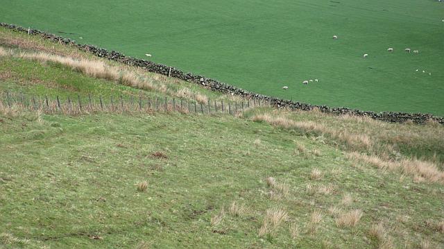 Photo could not load
NT1544 : Fence, Drochil Hill
Richard Webb
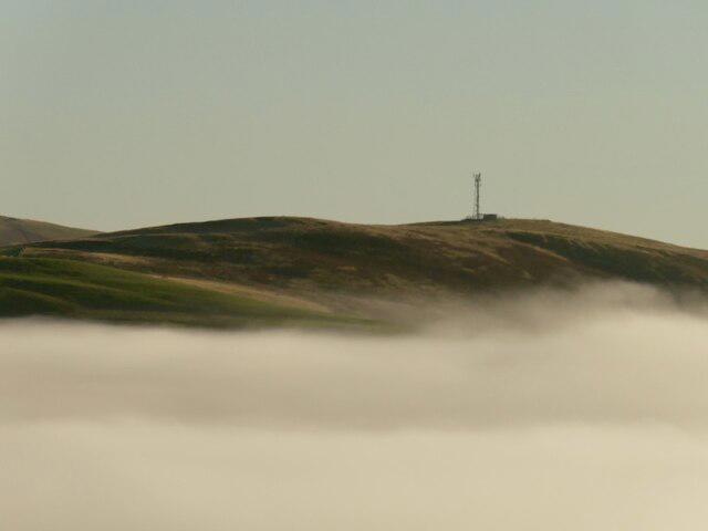 Photo could not load
NT1544 : Drochil Hill
Richard Webb
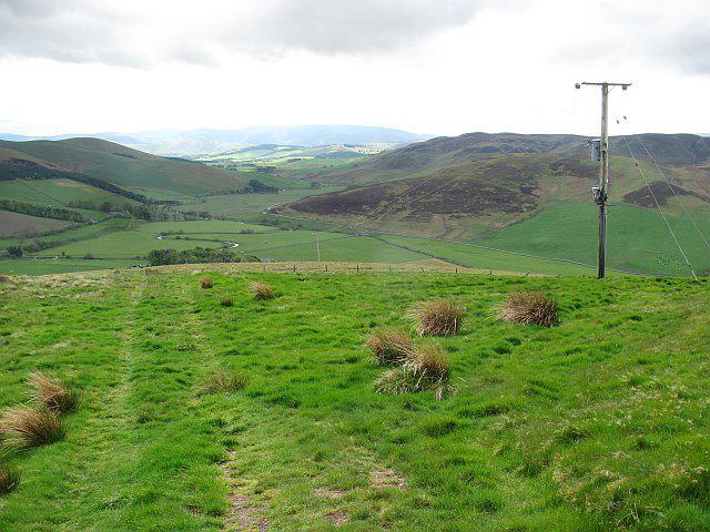 Photo could not load
NT1544 : Drochil Hill
Richard Webb
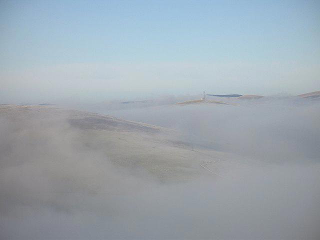 Photo could not load
NT1544 : Drochil Hill
Richard Webb
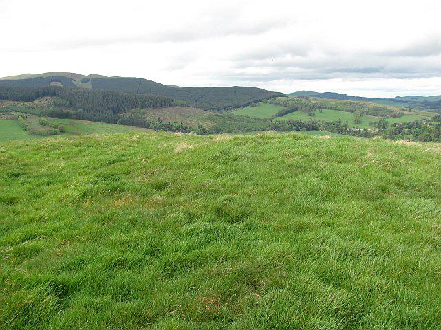 Photo could not load
NT1544 : Summit, Drochil Hill
Richard Webb
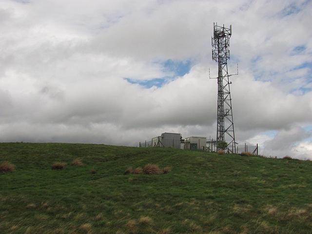 Photo could not load
NT1544 : Mast, Drochil Hill
Richard Webb
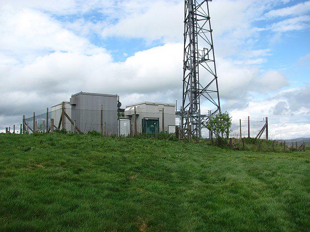 Photo could not load
NT1544 : Mast, Drochil Hill
Richard Webb
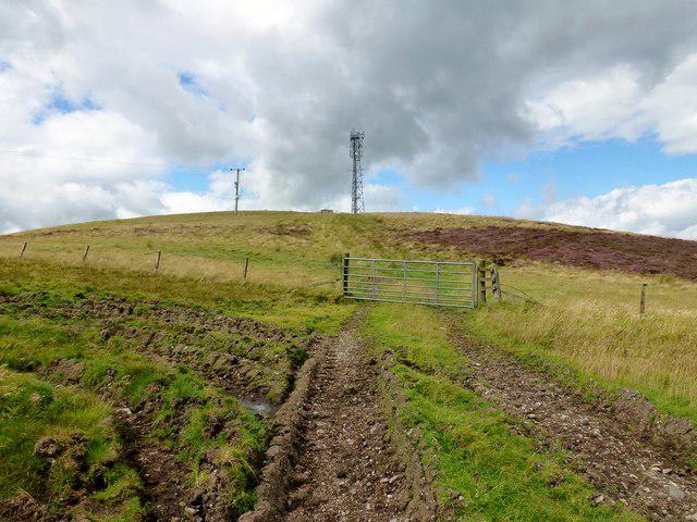 Photo could not load
NT1544 : Drochil Hill
Rude Health
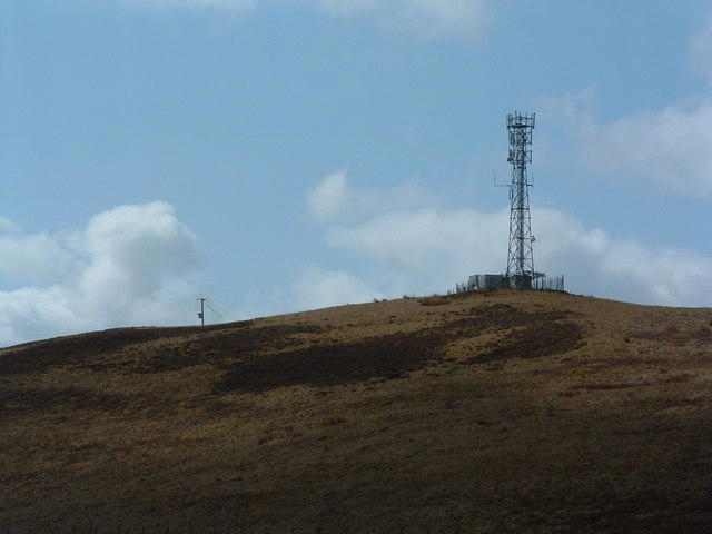 Photo could not load
NT1544 : Drochil Hill radio station
Alan Stewart
Hill facts and local notes
Classifications
Elevation
376m
1,234 ft
Prominence
137m
Coordinates
55.6831, -3.3451
NT155441
OS Map
72
Explorer: 336
At the Summit
The summit features a small stone cairn adorned with a variety of trinkets left by previous hikers. There's also a small marker indicating the elevation.
Terrain & Geology
The hill is primarily composed of volcanic rock, and its formation reflects the geological activity in the region during the Carboniferous period. The diverse geology contributes to the rich soil and varied vegetation found here.
Views & Scenery
On a clear day, the summit offers breathtaking views of the surrounding valleys, the Eildon Hills to the south, and even the Cheviots to the northwest.
History & Heritage
Name Origin
The name 'Drochil' derives from the Scottish Gaelic 'Drochaid' meaning bridge, possibly due to the surrounding landscape that was historically traversed by footpaths.
Historical Significance
The area has a rich history of sheep farming and was once an important route for drovers in the past.
Getting There & Facilities
Check current local access restrictions, parking rules and transport timetables before travelling. These notes do not confirm public access to the summit.
Parking
There is limited parking near the village of Stow, approximately 2 km away. Please park considerately.
Public Transport
Buses run from Edinburgh to Stow, but their frequency can be limited. A good excuse to find a walking buddy!
Nearby Facilities
Stow offers small local cafes where you can grab a bite and friendly pubs for post-hike refreshments.
Safety Information
Known Hazards
- Be aware of changing weather conditions which can make paths slippery. Deep heather can conceal holes or rocks, so watch your step.
General Safety Tips
- Check weather conditions before setting out
- Carry appropriate clothing and equipment
- Let someone know your planned route
- Take a map, compass, and GPS device
- Carry emergency supplies: food, water, first aid kit, torch
Hills
Some common questions about the hills answered
Are there group walks up Drochil Hill?
Many walkers use Walkmates to join or organise walks with others. You can check for group walks around Drochil Hill through the maps
Are there other walkers around Drochil Hill?
Activity varies by location and time, but Walkmates lets you see whether others have shared walks or shown interest in this area. Find other people through the walking friends search walking friends for Drochil Hill search or of course create your own walk for Drochil Hill
Can I organise a walk to Drochil Hill?
Yes. If there aren’t any walks listed already, you can create a walk and make it available for others to join.
If you're signed up to Walkmates, you can create a walk to Drochil Hill.
How do I find a walk up this hill?
There are often multiple ways to walk this hill, depending on experience and route preference. Walkmates helps you explore walks and routes that others have shared.
Can I suggest a new route up Drochil Hill?
Yes. You can suggest or create routes to share with others. Walkmates focuses on the social side of walking, so routes are used to help people organise walks and explore areas together, rather than as detailed navigation tools or route libraries.
Other uses really appreciate knowledgeable walkers sharing their routes. Share your favourite route to Drochil Hill here
The is an error or something incorrect about this hill. How do I let you know?
We always strive to keep the information on Walkmates as accurate as possible. If you find an error, please let us know through the contact form and we'll aim to correct it as quickly as possible
Community Discussion
Comments
Location
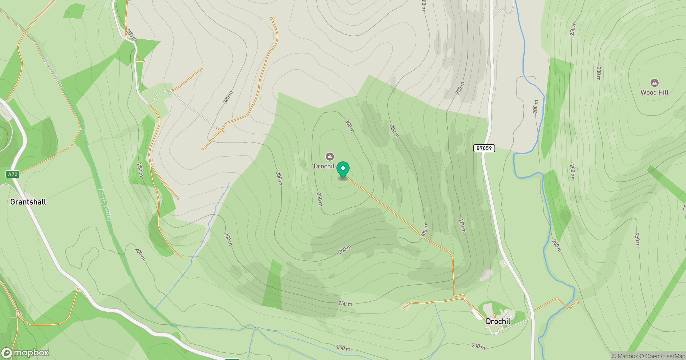
Grid reference: NT155441
View on OpenStreetMapOpens a map in a new tab, centred on the hill.
Hills within 30 km
Straight-line distance, not a walking route or confirmation of access.

No comments yet. Be the first.