

Diffwys
Good walks are even better shared.
Overview
Diffwys: A Gem in Snowdonia
Diffwys, standing at 792 meters, may not be the highest mountain in Wales, but it is a favourite among hikers looking for breathtaking views and a solid workout. Located in the scenic Snowdonia National Park, Diffwys is well-known for its stunning landscapes and geological features.
Geology
The rocky terrain of Diffwys is a testament to its volcanic origins. The mountain is primarily composed of ancient volcanic rock, remnants of past lava flows. The rugged landscape will make you feel like you're on another planet—just without the outrageous travel costs.
Routes
For those looking to take on Diffwys, the Diffwys Circular Route is a popular choice. Spanning 10.5 km, this moderately challenging trek offers the perfect way to take in the panorama while getting your daily steps in. Give yourself about 4.5 hours; it's all about taking that scenic selfie along the way!
Summit Features
Upon reaching the summit, you'll be greeted not only by your sense of achievement but also by a small cairn, which begs for a group photo. The vistas from the peak are spectacular, with clear views of the surrounding mountains and valleys.
Terrain Type
Be prepared for rocky paths and grassy slopes. Keep an eye out for the occasional boggy patch—it’s all part of the adventure!
Views
The views from Diffwys are nothing short of a postcard! On a good day, you'll see Cardigan Bay stretching out to the west, framed by the majestic peaks of Snowdon and the Rhinogs. The best time to visit for stunning visibility is in late spring or early autumn, so pack your bags accordingly!
Hazards
As with any mountain adventure, there are some hazards to keep in mind. The weather can change in an instant, so always be prepared. Also, watch out for loose rocks and don't be surprised if a sheep decides to join you on your trek—sheep are notoriously social!
Access
Getting to Diffwys is relatively straightforward. There’s a small parking area at the end of a minor road, but it fills up fast! Use public transport from Dolgellau if you’re feeling eco-conscious, but don't count on an all-night bus service!
Facilities
Make sure to bring your own provisions, as there are no facilities on the mountain. The nearby town of Dolgellau is home to several cafes and pubs where you can reward yourself with a pint and some chips after your hike. Remember: calories burned in nature don't count!
History
The name 'Diffwys' translates to 'the place of the meeting.' This mountain has long been a beloved destination for those looking to mix adventure with a touch of Welsh folklore.
So, pack your bags, lace up those boots, and get ready to tackle Diffwys! There’s a world of beauty waiting for you at the summit!
Happy hiking!
Explore routes near Diffwys
Public walks starting within 80 km of this hill. Nearby does not mean a route reaches the summit; check its map and access before setting out.
Mawddach Trail: Penmaenpool to Arthog Estuary Return
View route
Mawddach Trail: Penmaenpool to Dolgellau Riverside Return
View route
Coed y Brenin: Pont Ty'n-y-groes and Mawddach Forest Trail
View route
Northern Rhinogydd guided mountain walk
View route
Route planning notes
These notes describe possible approaches, not verified navigable routes or permission to cross land. Check current paths, local access rules and conditions before setting out.
Diffwys Circular Route
A scenic loop around the mountain taking in the stunning views of the surrounding valleys.
Make a day of it, together
Find someone to share the walk with, or organise a day out along a route you like.
Photo Gallery
View all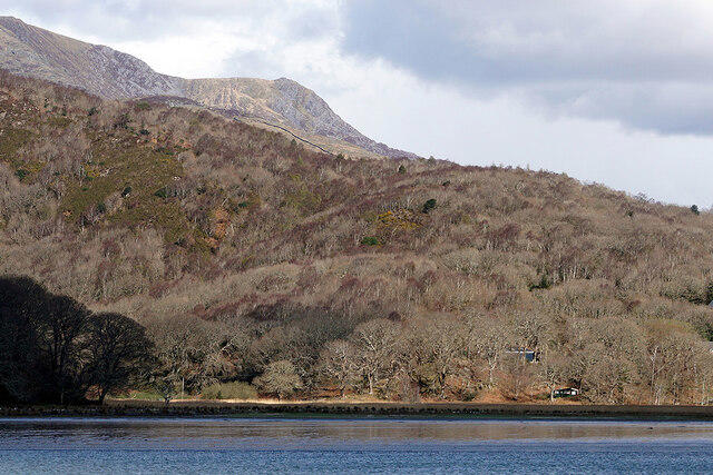 Photo could not load
SH6623 : A view across Afon Mawddach
John Lucas
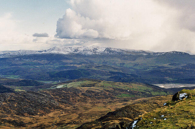 Photo could not load
SH6623 : Cadair Idris, seen from Diffwys
Nigel Brown
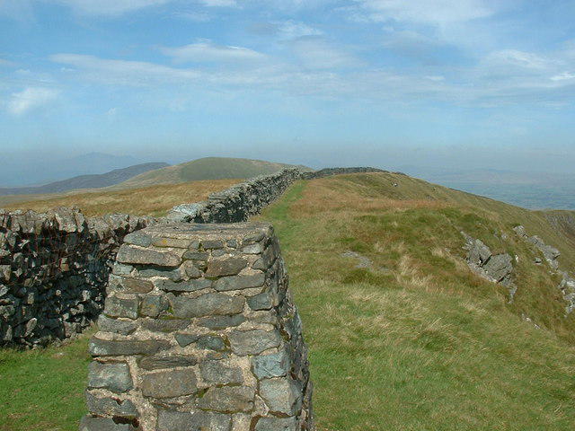 Photo could not load
SH6623 : The summit of Diffwys
Bill Rowley
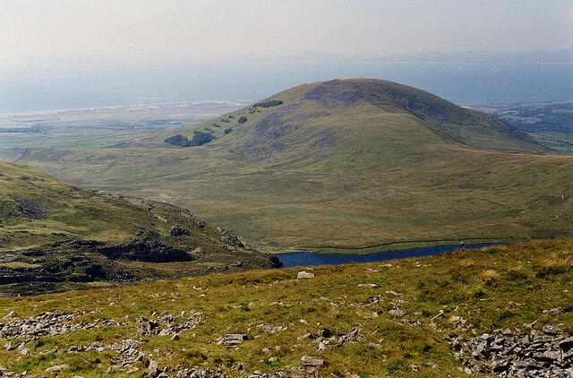 Photo could not load
SH6623 : View north west from Diffwys
Nigel Brown
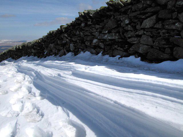 Photo could not load
SH6623 : Wind sculpted snow
Dave Croker
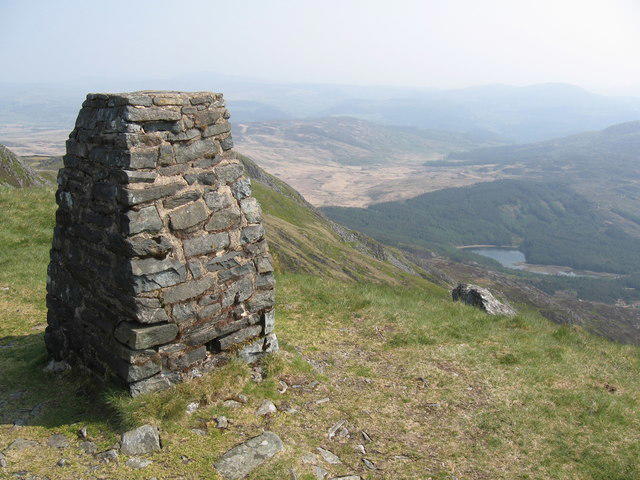 Photo could not load
SH6623 : Trig point, Diffwys
Chris Andrews
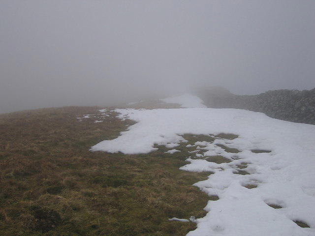 Photo could not load
SH6623 : Summit of Diffwys
Rudi Winter
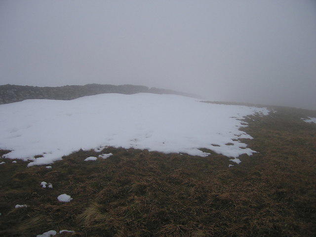 Photo could not load
SH6623 : Diffwys summit
Rudi Winter
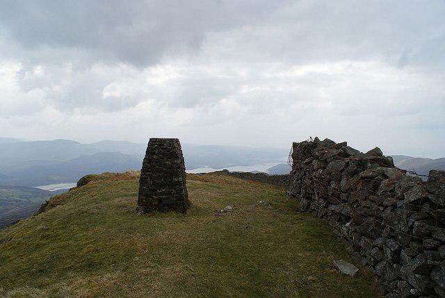 Photo could not load
SH6623 : Summit of Diffwys
AdamT
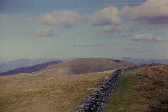
SH6623 : North from Diffwys towards Y Llethr
Richard Law
Hill facts and local notes
Classifications
Elevation
750m
2,462 ft
Prominence
148m
Coordinates
52.7917, -3.9868
SH661234
OS Map
124
Explorer: OL18W
At the Summit
The summit features a small cairn and offers a panoramic view of the surrounding peaks, providing plenty of opportunities for summit selfies.
Terrain & Geology
Primarily comprised of volcanic rock, specifically the remnants of ancient lava flows, giving it a rugged appearance.
Views & Scenery
On a clear day, you can see as far as the coast of Cardigan Bay, and the majestic peaks of Snowdon and the Rhinogs.
History & Heritage
Name Origin
The name 'Diffwys' is thought to derive from the Welsh 'Difyw', meaning 'the place of the meeting'.
Historical Significance
Diffwys has been a beloved walking destination for locals and visitors alike, often celebrated in Welsh folk tales.
Getting There & Facilities
Check current local access restrictions, parking rules and transport timetables before travelling. These notes do not confirm public access to the summit.
Parking
There is a small car park at the end of the minor road leading from the A470, suitable for about 5-6 cars. Arrive early to nab a spot!
Public Transport
The nearest train station is in Dolgellau, approximately 12 miles away. Buses from Dolgellau to the local area run intermittently.
Nearby Facilities
There are no facilities on the mountain itself, but Dolgellau boasts several cafes and pubs for a reward after your hike. Just remember, calories consumed in the mountains don’t count, right?
Safety Information
Known Hazards
- Beware of sudden weather changes, rocky terrain, and the occasional sheep unexpectedly crossing your path.
General Safety Tips
- Check weather conditions before setting out
- Carry appropriate clothing and equipment
- Let someone know your planned route
- Take a map, compass, and GPS device
- Carry emergency supplies: food, water, first aid kit, torch
Hills
Some common questions about the hills answered
Are there group walks up Diffwys?
Many walkers use Walkmates to join or organise walks with others. You can check for group walks around Diffwys through the maps
Are there other walkers around Diffwys?
Activity varies by location and time, but Walkmates lets you see whether others have shared walks or shown interest in this area. Find other people through the walking friends search walking friends for Diffwys search or of course create your own walk for Diffwys
Can I organise a walk to Diffwys?
Yes. If there aren’t any walks listed already, you can create a walk and make it available for others to join.
If you're signed up to Walkmates, you can create a walk to Diffwys.
How do I find a walk up this hill?
There are often multiple ways to walk this hill, depending on experience and route preference. Walkmates helps you explore walks and routes that others have shared.
Can I suggest a new route up Diffwys?
Yes. You can suggest or create routes to share with others. Walkmates focuses on the social side of walking, so routes are used to help people organise walks and explore areas together, rather than as detailed navigation tools or route libraries.
Other uses really appreciate knowledgeable walkers sharing their routes. Share your favourite route to Diffwys here
The is an error or something incorrect about this hill. How do I let you know?
We always strive to keep the information on Walkmates as accurate as possible. If you find an error, please let us know through the contact form and we'll aim to correct it as quickly as possible
Community Discussion
Comments
Location
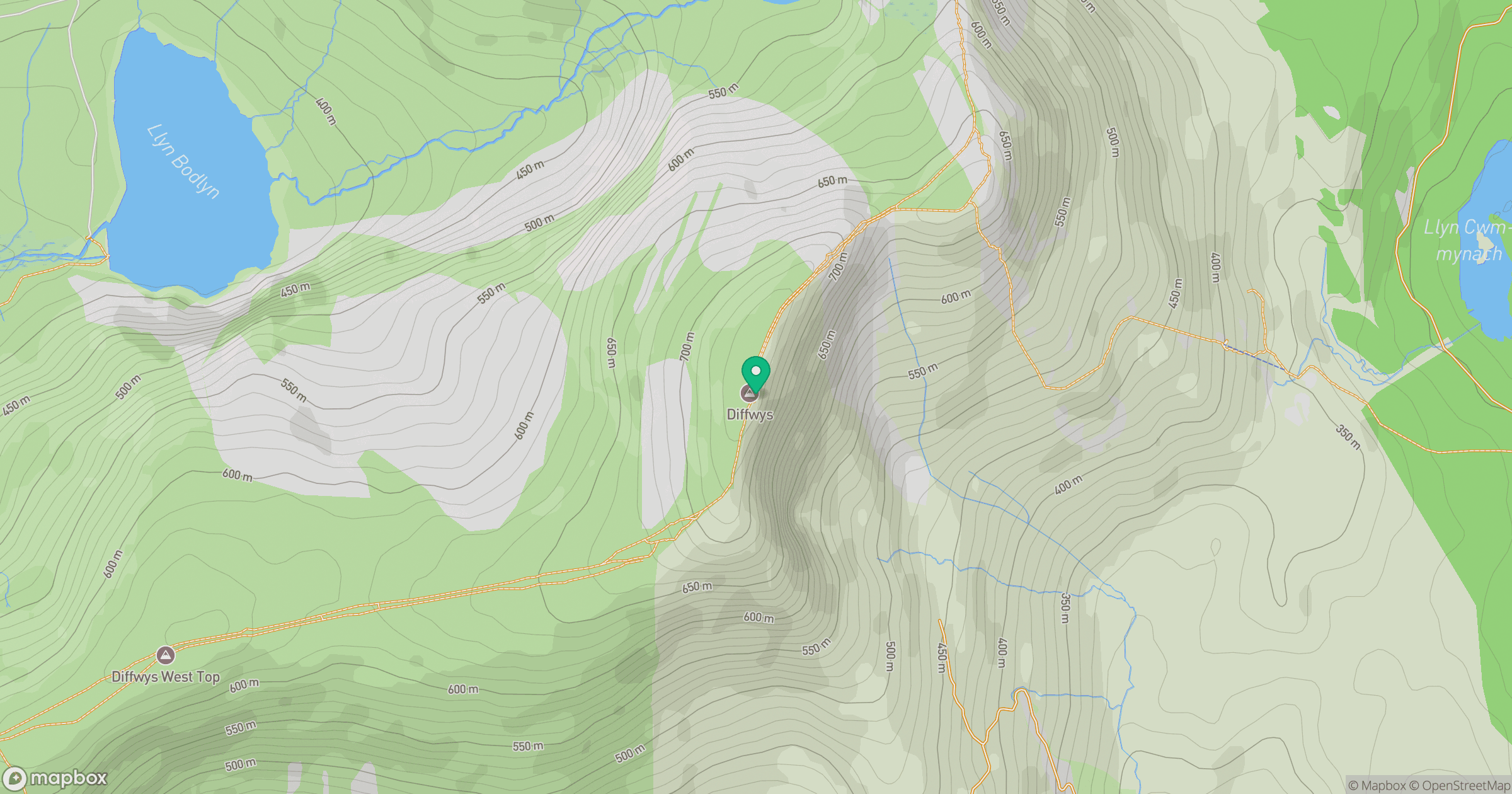
Grid reference: SH661234
View on OpenStreetMapOpens a map in a new tab, centred on the hill.
Hills within 30 km
Straight-line distance, not a walking route or confirmation of access.
No comments yet. Be the first.