

Cruach an Lochain
Good walks are even better shared.
Overview
Cruach an Lochain
Overview
Cruach an Lochain, standing at 757 meters, is a Marilyn nestled in the scenic heart of Argyll and Bute in the Scottish Highlands. Known for its rugged beauty and stunning vistas, it invites both seasoned adventurers and casual walkers to explore its slopes.
Geology
This splendid mountain is predominantly made up of ancient metamorphic rocks, mainly schists that have been eroded by glacial activity over millennia. The exposed rock faces provide a unique window into the geological past, while also serving as a reminder of the power of nature.
Routes
The most popular route begins at Loch Awe, following a well-trodden path that leads you through more forgiving terrain before it steepens towards the summit. It’s a relatively easy hike for most but still demands respect for the elements, so pack wisely!
Summit Features
As you reach the summit, you will be greeted by a weathered trig point, standing as a testament to many expeditions before yours. The views from the top? Absolutely breathtaking! Pay homage to the mountain by signing your name in the summit book!
Terrain Type
Expect not just beautiful views but a mix of rocky outcrops, grassy patches, and a smattering of boggy areas lower down. Wear sturdy boots or prepare to wrestle with the mud!
Views
Highlights from the summit encompass spectacular panoramas of Loch Awe and the rolling hills of the Highlands. You will find that the best times for these views are during spring and early autumn when skies are clear and visibility is at its best.
Hazards
While the hike is generally accessible, trekkers should be aware of uneven terrain and the notorious Scottish weather, which can turn on a dime. Don’t forget—there’s no such thing as bad weather, just inappropriate clothing!
Nearby Summits
If your appetite for adventure isn’t quenched by Cruach an Lochain alone, consider tackling nearby summits such as Beinn a’ Bhuiridh and the formidable Ben Cruachan.
Access
Parking can be found at Loch Awe—just a short stroll from the trailhead. If you’re relying on public transport, Dalmally is your best bet, servicing routes to Loch Awe. Just be sure to double-check timetables to avoid the dreaded wait!
Facilities
While there are no facilities up in the hills, Dalmally offers essentials like cafes and shops, perfect for a pre-hike snack or a celebratory coffee post-adventure.
History
The name Cruach an Lochain, meaning 'Hill of the Little Lake,' reflects its charm and the small lochs nearby. The mountain holds a special place in local folklore, rich with tales from ancient Celtic times, adding depth to your hiking experience.
This delightful Marilyn beckons you to explore its wonders while having a merry jaunt up the hill. Bring good company, your sense of adventure, and don’t forget your sense of humour!
Explore routes near Cruach an Lochain
Public walks starting within 80 km of this hill. Nearby does not mean a route reaches the summit; check its map and access before setting out.
Glen Kin group walk
View route
Bishop’s Glen group walk
View route
West Bay walk and talk
View route
West Bay walk and talk
View route
Route planning notes
These notes describe possible approaches, not verified navigable routes or permission to cross land. Check current paths, local access rules and conditions before setting out.
Main Route from Loch Awe
A well-marked path leading from Loch Awe, this route offers a steady ascent with scenic views along the way. Suitable for most hikers.
Make a day of it, together
Find someone to share the walk with, or organise a day out along a route you like.
Photo Gallery
View all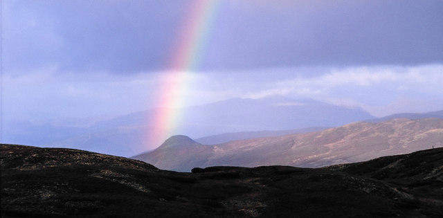 Photo could not load
NS0493 : Moorland north of summit of Cruach an Lochain
Trevor Littlewood
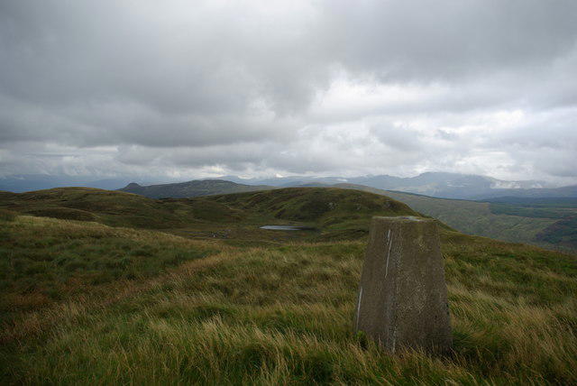 Photo could not load
NS0493 : View NE from the trig point on Cruach an Lochain
Leslie Barrie
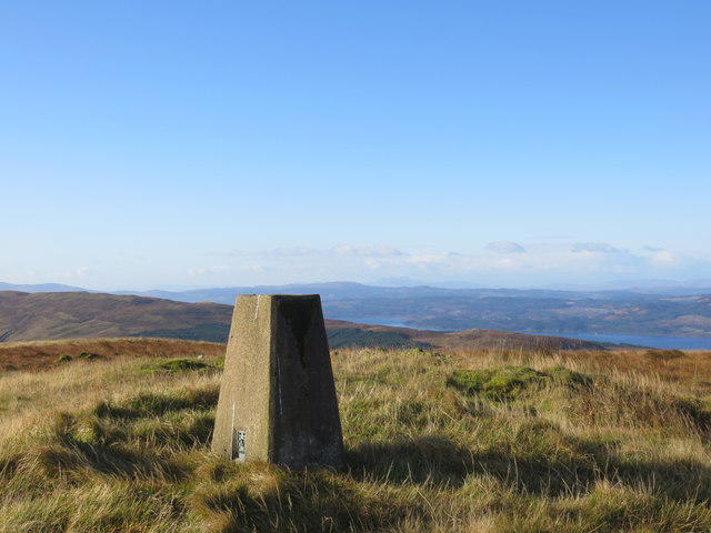 Photo could not load
NS0493 : Trig point on the summit of Cruach an Lochain
John Ferguson
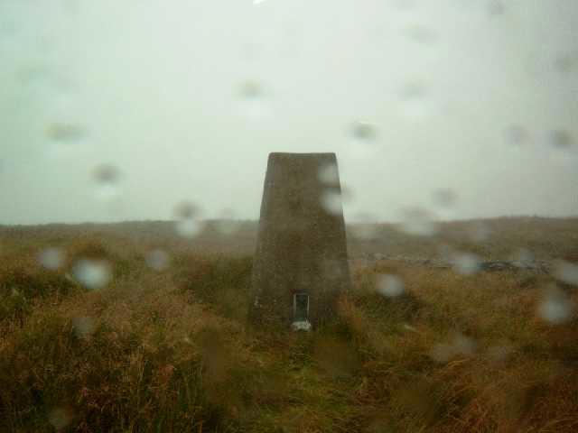 Photo could not load
NS0493 : Trigging in the Rain. S8800 - Cruach An Lochain
Graeme Paterson
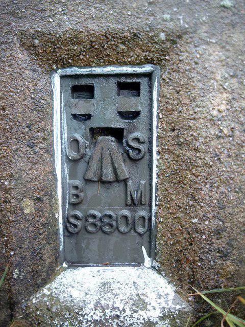 Photo could not load
NS0493 : S8800. A Nice Round Number.
Graeme Paterson
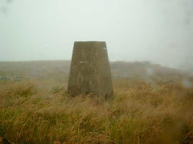 Photo could not load
NS0493 : Cruach An Lochain, Argyllshire
Graeme Paterson
Hill facts and local notes
Classifications
Elevation
508m
1,667 ft
Prominence
259m
Coordinates
56.0975, -5.1374
NS049938
OS Map
56
Explorer: 362N
At the Summit
At the summit, you will find a cloudy weathered trig point and some fabulous views stretching across the surrounding hills and lochs. Don't forget to sign the summit book if you find it!
Terrain & Geology
Cruach an Lochain is primarily composed of metamorphic rock, with schists dominating the landscape. The rugged terrain and exposed rock formations reveal the mountain's ancient geological origins, shaped by glacial activity.
Views & Scenery
From the summit, you can catch breathtaking views of Loch Awe, the surrounding hills, and on a clear day, you may even spot the distant peaks of the Southern Highlands.
History & Heritage
Name Origin
The name 'Cruach an Lochain' translates to 'Hill of the Little Lake' in Gaelic, a nod to the smaller lochs scattered around its base.
Historical Significance
The area is steeped in local folklore and history, including tales of ancient Celtic tribes. The mountains were significant markers for local tribes.
Getting There & Facilities
Check current local access restrictions, parking rules and transport timetables before travelling. These notes do not confirm public access to the summit.
Parking
There is parking available at the Loch Awe car park, which is approximately a 10-minute walk from the main route’s starting point.
Public Transport
Bus services run from local towns like Oban to Loch Awe, though check schedules as they may be less frequent in winter months.
Nearby Facilities
There are no facilities on the mountain itself, but Dalmally offers a shop and café for last-minute snacks or bathroom breaks.
Safety Information
Known Hazards
- Uneven terrain, potential for sudden weather changes, and boggy areas in the lower sections. Ensure you're equipped for a classic Scottish drizzle!
General Safety Tips
- Check weather conditions before setting out
- Carry appropriate clothing and equipment
- Let someone know your planned route
- Take a map, compass, and GPS device
- Carry emergency supplies: food, water, first aid kit, torch
Hills
Some common questions about the hills answered
Are there group walks up Cruach an Lochain?
Many walkers use Walkmates to join or organise walks with others. You can check for group walks around Cruach an Lochain through the maps
Are there other walkers around Cruach an Lochain?
Activity varies by location and time, but Walkmates lets you see whether others have shared walks or shown interest in this area. Find other people through the walking friends search walking friends for Cruach an Lochain search or of course create your own walk for Cruach an Lochain
Can I organise a walk to Cruach an Lochain?
Yes. If there aren’t any walks listed already, you can create a walk and make it available for others to join.
If you're signed up to Walkmates, you can create a walk to Cruach an Lochain.
How do I find a walk up this hill?
There are often multiple ways to walk this hill, depending on experience and route preference. Walkmates helps you explore walks and routes that others have shared.
Can I suggest a new route up Cruach an Lochain?
Yes. You can suggest or create routes to share with others. Walkmates focuses on the social side of walking, so routes are used to help people organise walks and explore areas together, rather than as detailed navigation tools or route libraries.
Other uses really appreciate knowledgeable walkers sharing their routes. Share your favourite route to Cruach an Lochain here
The is an error or something incorrect about this hill. How do I let you know?
We always strive to keep the information on Walkmates as accurate as possible. If you find an error, please let us know through the contact form and we'll aim to correct it as quickly as possible
Community Discussion
Comments
Location
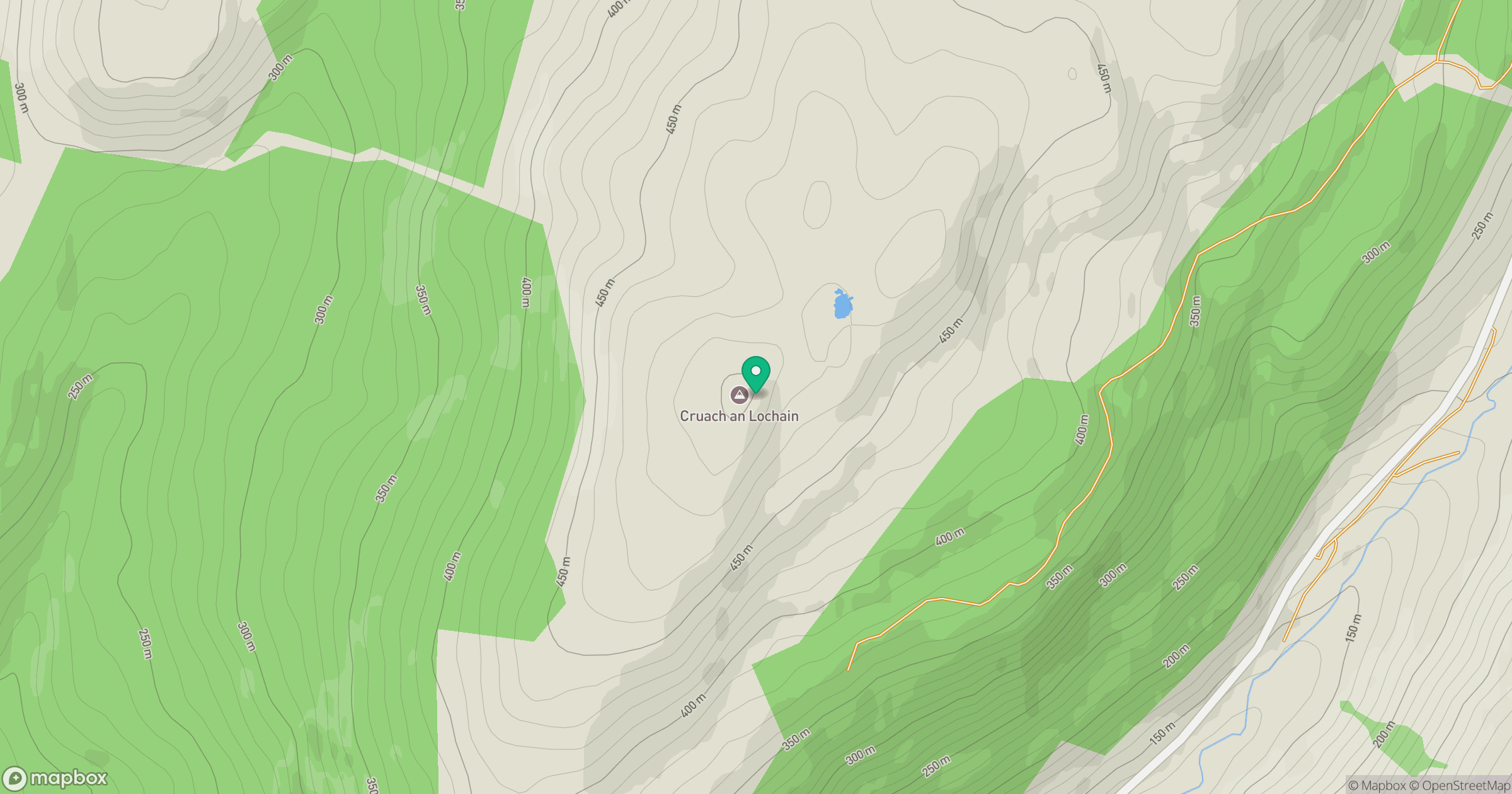
Grid reference: NS049938
View on OpenStreetMapOpens a map in a new tab, centred on the hill.
Hills within 30 km
Straight-line distance, not a walking route or confirmation of access.
Beinn Ghlas
420m

The Cobbler [Ben Arthur]
887m
Beinn Ime
1,012m
Beinn Narnain
927m
Cruach nan Capull
481m
No comments yet. Be the first.