
Criffel
Good walks are even better shared.
Overview
Criffel: A Gem in the Southern Uplands
Overview
Criffel stands proudly at 569 meters, making it one of the standout peaks in the Southern Uplands of Scotland. It is classified as a Marilyn, giving it considerable prominence in the landscape.
Geology
The mountain is primarily composed of granite, boasting fascinating glacial features, a testament to the tumultuous landscape shaped during the last Ice Age. These geological aspects offer enthusiasts a glimpse into the area's rich geological history.
Routes
The most popular route is the Criffel Circular Walk. This moderate 7.2 km path guides hikers through scenic landscapes, combining gentle slopes and intriguing rocky outcrops as you approach the summit. Expect to spend about 3.5 hours enjoying the fresh air and perhaps a bit of banter with fellow hikers!
Summit Features
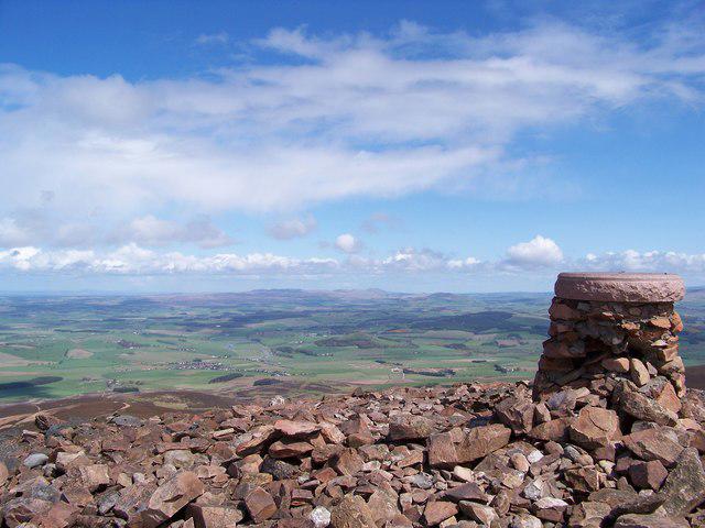
At the summit, a sturdy trig point reminds you of the height you've conquered. If you're lucky enough to summit on a clear day, the panoramic views of the Lake District and beyond will leave you breathless—just make sure not to look down at your watch while taking it all in!
Terrain Type
The terrain is a mixture of grassy slopes with sections of rocky outcrop. It's relatively easy to navigate, though you should be mindful of slippery rocks, particularly after rain.
Views
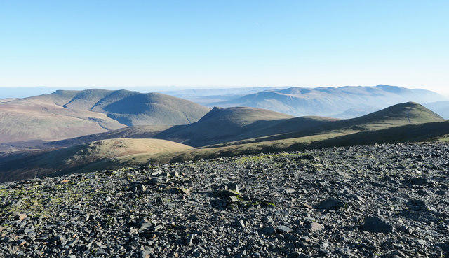
From Criffel, you can witness breathtaking views spanning the Solway Firth to the majestic hills of the Lake District. The best seasons to appreciate these sights are spring and autumn—when nature puts on its finest colours.
Hazards
As with any mountain adventure, be cautious of rapidly changing weather conditions and be prepared for muddy patches or slippery surfaces.
Nearby Summits
Criffel is surrounded by impressive peaks, including Broadfell and Merrick, each offering their own unique challenges and vistas.
Access
The nearest parking is a short distance from the foot of the mountain, near Auchencairn. For those using public transport, regular bus services from Dalbeattie can get you part of the way there, but it's essential to double-check the times.
Facilities
After the climb, treat yourself to a lovely meal or snack in Dalbeattie, where you'll find several cafes offering delightful local fare.
History
The name Criffel has Gaelic roots, referencing its hill-like stature. Historically, it has served as a point of navigation, standing tall against the backdrop of the Solway coast, guiding wanderers through the landscape.
With a blend of natural beauty, geological interest, and rich cultural significance, Criffel is truly worth a visit. Pack your bags, grab your boots, and make the most of this stunning mountain!
Explore routes near Criffel
Walks starting near this hill. Open a route to check its map, distance and full itinerary.
Moffat Gallow Hill Woodland and Viewpoint Circuit
View route
Forest of Ae Water of Ae Riverside Trail
View route
Hoddom Castle and River Annan Woodland Circuit
View route
Mabie Forest Dalshinnie Glen and Loch
View route
Route planning notes
These notes describe possible approaches. Check a route's map and access information when planning your walk.
Criffel Circular Walk
A popular circular route starting at the foot of the hill, providing a moderate challenge and showcasing the stunning landscapes of the Southern Uplands.
Make a day of it, together
Find someone to share the walk with, or organise a day out along a route you like.
Hill facts and local notes
Classifications
Elevation
373m
1,224 ft
Prominence
30m
Coordinates
55.2492, -3.3398
NY149958
OS Map
78
Explorer: 322N
At the Summit
The summit is crowned by a distinct trig point, and on a clear day, you may be surprised by the stunning views across Solway Firth. Pack a picnic and feel on top of the world!
Terrain & Geology
Criffel is primarily composed of granite, which is typical of this region. The mountain exhibits intriguing glacial features shaped during the last Ice Age, offering both beauty and geological interest.
Views & Scenery
Clear views of the Lake District, the Solway coast, and on a very good day, the Isle of Man can even be spotted on the horizon.
History & Heritage
Name Origin
The name 'Criffel' is derived from the Gaelic 'Croit' meaning 'hill' or 'ridge', quite fitting for its prominent position.
Historical Significance
Criffel has been a landmark for centuries, serving as a significant point of navigation for seafarers on the Solway Firth.
Getting There & Facilities
Parking
There is a designated parking area at the base of Criffel, located approximately 2 miles from the village of Auchencairn. Spaces may fill quickly on weekends!
Public Transport
Regular buses run from Dalbeattie to Auchencairn; however, check schedules in advance as service can be limited.
Nearby Facilities
While there are no facilities on the mountain itself, Dalbeattie offers a selection of cafes and local shops for all your pre-hike calorific needs.
Safety Information
Known Hazards
- Watch for sudden weather changes; conditions can vary rapidly in the hills. Beware of slippery rocks and muddy patches, especially after rainfall.
General Safety Tips
- Check weather conditions before setting out
- Carry appropriate clothing and equipment
- Let someone know your planned route
- Take a map, compass, and GPS device
- Carry emergency supplies: food, water, first aid kit, torch
Hills
Some common questions about the hills answered
Are there group walks up Criffel?
Many walkers use Walkmates to join or organise walks with others. You can check for group walks around Criffel through the maps
Are there other walkers around Criffel?
Activity varies by location and time, but Walkmates lets you see whether others have shared walks or shown interest in this area. Find other people through the walking friends search walking friends for Criffel search or of course create your own walk for Criffel
Can I organise a walk to Criffel?
Yes. If there aren’t any walks listed already, you can create a walk and make it available for others to join.
If you're signed up to Walkmates, you can create a walk to Criffel.
How do I find a walk up this hill?
There are often multiple ways to walk this hill, depending on experience and route preference. Walkmates helps you explore walks and routes that others have shared.
Can I suggest a new route up Criffel?
Yes. You can suggest or create routes to share with others. Walkmates focuses on the social side of walking, so routes are used to help people organise walks and explore areas together, rather than as detailed navigation tools or route libraries.
Other uses really appreciate knowledgeable walkers sharing their routes. Share your favourite route to Criffel here
The is an error or something incorrect about this hill. How do I let you know?
We always strive to keep the information on Walkmates as accurate as possible. If you find an error, please let us know through the contact form and we'll aim to correct it as quickly as possible
Community Discussion
Comments
Location
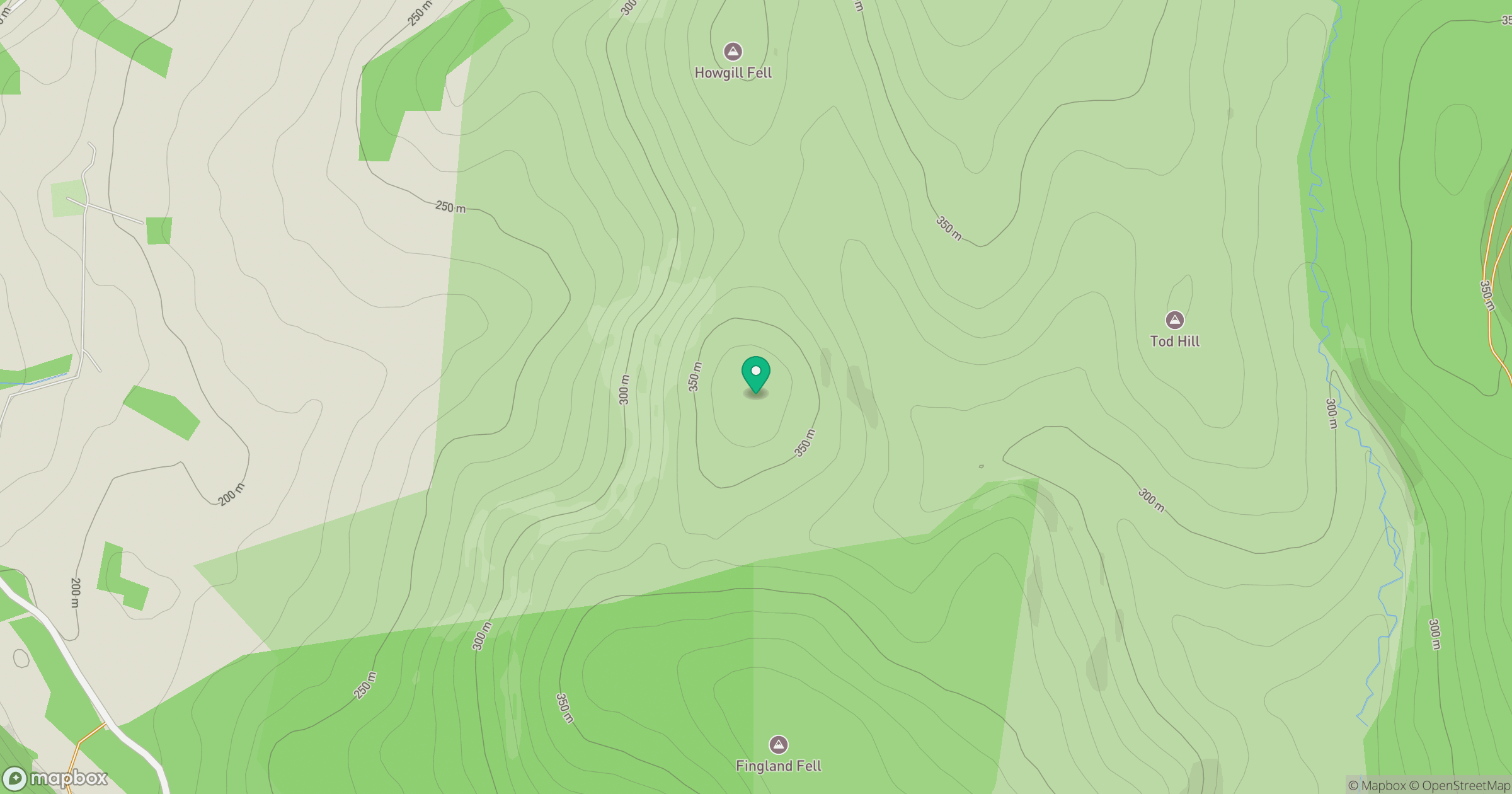
Grid reference: NY149958
View on OpenStreetMapOpens a map in a new tab, centred on the hill.
No comments yet. Be the first.