

Crawston Hill
Good walks are even better shared.
Overview
Crawston Hill
Overview
Crawston Hill, standing at an elevation of 321 meters, is a grand yet modest feature in the Southern Uplands of Scotland. Its impressive prominence of 66 meters may not make it the most dramatic peak, but it offers a rewarding trek that is perfect for a Sunday jaunt or a reprieve from city life.
Geology
This hill is a geological delight primarily made up of sedimentary rocks that tell tales of ancient environments. With a fascinating blend of sandstone and claystone, it provides excellent insight into the geological processes that have shaped this beautiful area over eons.
Routes
One popular path leads from the east along the B740 road. The gentle ascents make it a good choice for families and those looking for a more relaxed outing, all while basking in the beauty of nature.
Route Details:
- Distance: 6.5 km (there and back)
- Time Required: Approximately 2.5 hours
- Difficulty: Moderate, ideal for those with moderate fitness levels.
Summit Features
Upon reaching the summit, hikers are greeted by a proud stone cairn and a trig point, a perfect spot for a group photo or a scenic break. Just remember to watch out for quirky winds trying to steal your hat!
Terrain Type
Crawston Hill offers a mix of grassy meadows and rocky outcrops. As you stroll through the heather, you may even catch a glimpse of the local wildlife (or hear them before you see them!).
Views
The views from the summit are nothing short of spectacular. Highlights include the rolling landscape of Galloway Forest Park and, if you're lucky, the shimmering waters of the Solway Firth on a crisp day. For the best views, consider visiting in spring or autumn when nature is at its finest.
Hazards
While Crawston Hill is a friendly peak, it's important to be cautious of loose rocks, especially after rain. The Scottish weather can change as quick as a flash, so maintaining visibility and navigation skills is essential.
Nearby Summits
If you're keen on extending your hike, nearby summits such as Black Hill (303 meters) and Mochrum Fell (286 meters) offer enticing alternatives, each with their own unique views and challenges.
Access
To access Crawston Hill, park in the small layby along the B740 road. Public transport is available from Stranraer, with services running to New Luce. For amenities like bathrooms and cafes, make your way into New Luce before or after your hike.
Facilities
While facilities on the hill are non-existent, New Luce offers a quaint cafe for refreshments that will warm your frosty fingers post-hike.
History
The name 'Crawston' hints at a rich local history, suggesting a connection to crows. While lacking in grand historical stories, Crawston Hill embodies the untouched beauty of Scottish heritage and the natural wonder of the land.
So, whether you're a seasoned hiker or just starting out, Crawston Hill provides an approachable climb with delightful rewards—just don’t forget your camera!
Last Updated
2023-10-01
Source
Data sourced from Ordnance Survey and local walking guides.
Explore routes near Crawston Hill
Public walks starting within 80 km of this hill. Nearby does not mean a route reaches the summit; check its map and access before setting out.
Forest of Ae Water of Ae Riverside Trail
View route
Mabie Forest Dalshinnie Glen and Loch
View route
Castle Douglas Carlingwark Loch and Lover’s Walk Circuit
View route
Dalbeattie Forest Plantain Loch Trail
View route
Route planning notes
These notes describe possible approaches, not verified navigable routes or permission to cross land. Check current paths, local access rules and conditions before setting out.
Crawston Hill from the East
This route starts from the B740 road and leads through gentle slopes before ascending the final steep ascent to the summit. It's a delightful leisurely climb suitable for most walkers.
Make a day of it, together
Find someone to share the walk with, or organise a day out along a route you like.
Photo Gallery
View all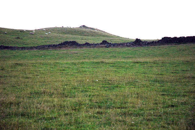 Photo could not load
NX8885 : Crawston Hill
Andrya Prescott
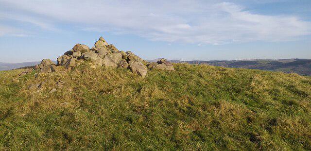 Photo could not load
NX8885 : Crawston Hill summit
Colin Kinnear
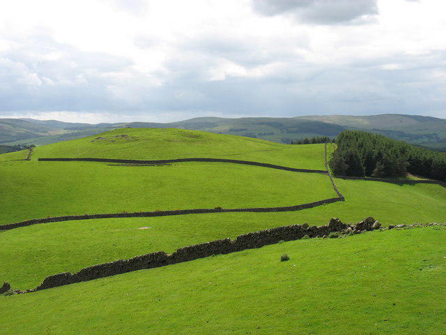 Photo could not load
NX8885 : Crawston Hill from Beacon Hill
David Purchase
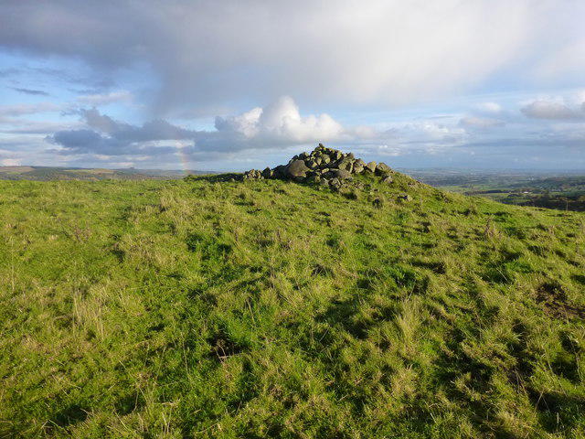 Photo could not load
NX8885 : Crawston Hill
Rude Health
Hill facts and local notes
Classifications
Elevation
217m
712 ft
Prominence
110m
Coordinates
55.1522, -3.7492
NX886856
OS Map
78
Explorer: 321
At the Summit
The summit features a large stone cairn and a small trig point, providing the perfect backdrop for a summit selfie – just don't forget to send it back home to brag a bit!
Terrain & Geology
Crawston Hill is primarily composed of sedimentary rocks, with notable outcrops of sandstone and claystone, creating a layered geological history that is fascinating for both geologists and curious hikers alike.
Views & Scenery
From the summit, one can catch stunning views of the surrounding valleys, the distant hills of the Galloway Forest Park, and on a clear day, even a glimpse of the Solway Firth.
History & Heritage
Name Origin
The name 'Crawston' is thought to relate to the Old English for 'craw' or 'crow', thus this hill was possibly a favourite haunt for these feathered friends.
Historical Significance
While Crawston Hill itself is not steeped in grand historical tales, it forms part of the ancient natural landscape that has shaped the culture and stories of local communities.
Getting There & Facilities
Check current local access restrictions, parking rules and transport timetables before travelling. These notes do not confirm public access to the summit.
Parking
There is a small layby on the B740 road, approximately 1.5km from the starting point of the route, where you can safely park your vehicle.
Public Transport
The nearest bus service operates from Stranraer, with a stop in nearby New Luce. Be sure to check the latest schedules as they can often be as unpredictable as Scottish weather!
Nearby Facilities
There are no facilities directly on Crawston Hill, but you can find a cafe and public toilets in New Luce, a perfect stop before or after your adventure.
Safety Information
Known Hazards
- Occasional loose rocks on the ascent, particularly after wet weather. Visibility may be reduced in fog, making navigational skills a must.
General Safety Tips
- Check weather conditions before setting out
- Carry appropriate clothing and equipment
- Let someone know your planned route
- Take a map, compass, and GPS device
- Carry emergency supplies: food, water, first aid kit, torch
Hills
Some common questions about the hills answered
Are there group walks up Crawston Hill?
Many walkers use Walkmates to join or organise walks with others. You can check for group walks around Crawston Hill through the maps
Are there other walkers around Crawston Hill?
Activity varies by location and time, but Walkmates lets you see whether others have shared walks or shown interest in this area. Find other people through the walking friends search walking friends for Crawston Hill search or of course create your own walk for Crawston Hill
Can I organise a walk to Crawston Hill?
Yes. If there aren’t any walks listed already, you can create a walk and make it available for others to join.
If you're signed up to Walkmates, you can create a walk to Crawston Hill.
How do I find a walk up this hill?
There are often multiple ways to walk this hill, depending on experience and route preference. Walkmates helps you explore walks and routes that others have shared.
Can I suggest a new route up Crawston Hill?
Yes. You can suggest or create routes to share with others. Walkmates focuses on the social side of walking, so routes are used to help people organise walks and explore areas together, rather than as detailed navigation tools or route libraries.
Other uses really appreciate knowledgeable walkers sharing their routes. Share your favourite route to Crawston Hill here
The is an error or something incorrect about this hill. How do I let you know?
We always strive to keep the information on Walkmates as accurate as possible. If you find an error, please let us know through the contact form and we'll aim to correct it as quickly as possible
Community Discussion
Comments
Location
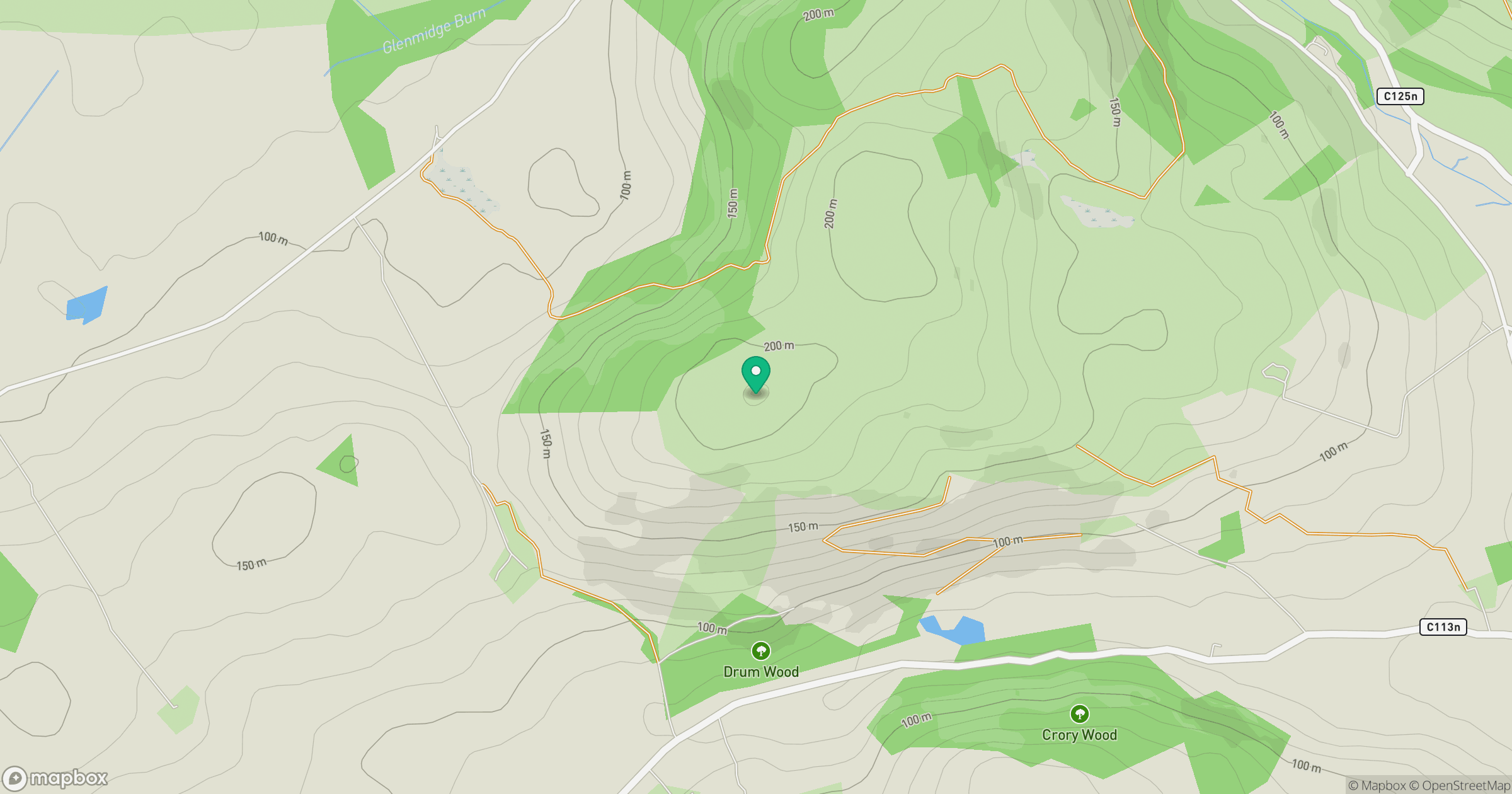
Grid reference: NX886856
View on OpenStreetMapOpens a map in a new tab, centred on the hill.
Hills within 30 km
Straight-line distance, not a walking route or confirmation of access.
No comments yet. Be the first.