

Countryside
Circular
Medium
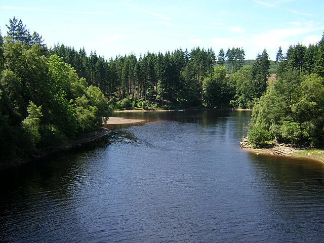
Kielder Forest - 50 Rocks of Northumberland inspired
PaulWalkmates
Walk organiser
No comments yet. Be the first.