

Colmer's Hill
Good walks are even better shared.
SY4493 : Colmer's Hill
Derek Harper Photo source
Overview
Colmer’s Hill
Hill and summit
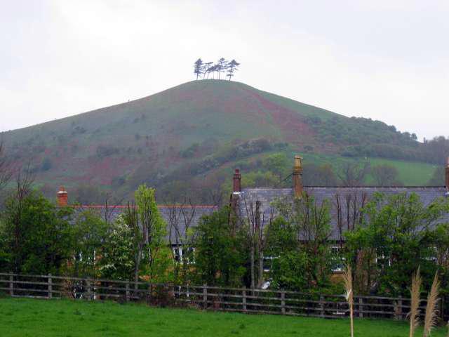
This 127 m (417 ft) West Dorset hill is a Tump, with 35 m prominence. Its summit is ground beside the trig pillar at SY4402393671, among the distinctive pines.
Route and access
Use Symondsbury Estate's permissive Colmers Hill Circular, starting and finishing at its visitor centre/car park. The current route crosses sheep fields, climbs the east face to the trig and descends back to the Estate. The published 1.6 miles is about 2.6 km, with a 40-minute indication; stops and conditions add time. Obtain the current Estate walking map for turns. No cumulative ascent has been verified. Older rear-ascent directions describe a different version and are not combined with these totals.
Geology and history
The hill consists mainly of Jurassic Bridport Sands above Down Cliff Clay; its former limestone cap has eroded away. The Colmer family tenancy gave the hill its name. It joined the Colfox family's Estate in 1910, and pine planting shaped the familiar skyline. Published species accounts differ.
Visiting safely
The slopes are steep, with slippery grass and mud after rain. Keep dogs on leads around sheep, close gates and follow access notices. Free Estate visitor parking is on Mill Lane, DT6 6HG; check closing time. The visitor centre, café and deli have their own opening hours. Confirm toilet availability before setting off.
X51/X53 buses serve the Bridport area, with an additional walk from the appropriate stop. Check the day's timetable and diversions. Views extend over Marshwood Vale and towards the Jurassic Coast when clear.
Other hills
Quarry Hill, 163 m, and Golden Cap, 191 m, are separate outings, not additions included in the 2.6 km circuit.
Explore routes near Colmer's Hill
Walks starting near this hill. Open a route to check its map, distance and full itinerary.
Langdon Hill Circular
View route
Dorchester Walk with Men Walking & Talking
View route
Weymouth to Sandsfoot Gardens: Rodwell Trail and Radipole waterside return
View route
Hardy's Cottage, Stinsford and Dorchester from Thorncombe Wood
View route
Route planning notes
These notes describe possible approaches. Check a route's map and access information when planning your walk.
Colmers Hill Circular from Symondsbury Estate
Start and finish at the Estate visitor centre/car park, Mill Lane, DT6 6HG (approximately SY445937). Follow the current signed circuit through sheep fields, climb the east face to the trig and descend the steep slope back to the Estate. Collect the current walking map for detailed turns. Estate figures: 1.6 miles (about 2.6 km), 40 minutes; allow longer for stops and conditions. Do not combine older rear-ascent directions, bus approaches or other detours with these totals. https://symondsburyestate.co.uk/visit/explore-the-estate/
Make a day of it, together
Find someone to share the walk with, or organise a day out along a route you like.
Photo Gallery
View all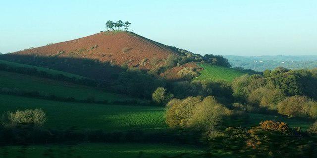 Photo could not load
SY4493 : Colmer's Hill
Derek Harper
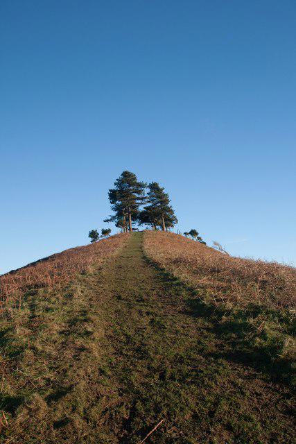 Photo could not load
SY4393 : Ascending Colmer's Hill
Becky Williamson
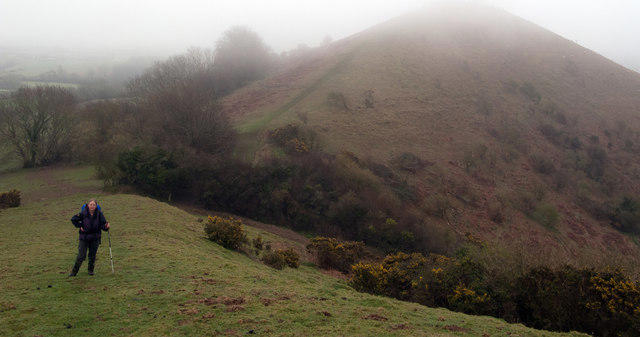 Photo could not load
SY4393 : Colmer's Hill
Trevor Littlewood
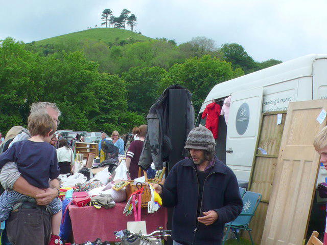 Photo could not load
SY4493 : Symondsbury Car Boot Sale
Nigel Mykura
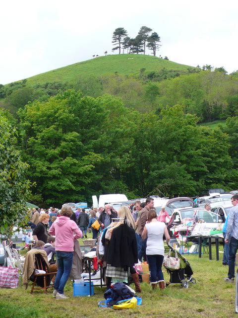 Photo could not load
SY4493 : Colmer Hill
Nigel Mykura
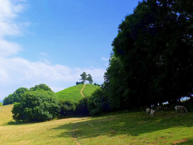 Photo could not load
SY4393 : Colmer's Hill from the West
Gary Rogers
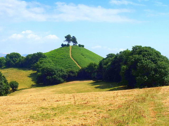 Photo could not load
SY4393 : Colmer's Hill, Dorset
Gary Rogers
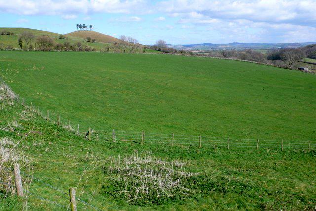 Photo could not load
SY4393 : View from Quarr Lane
Nigel Mykura
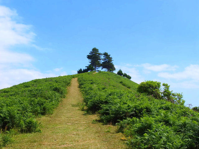 Photo could not load
SY4393 : Colmer's Hill, Dorset
Gary Rogers
SY4493 : Colmer's Hill
M Etherington
Hill facts and local notes
Classifications
Elevation
127m
417 ft
Prominence
35m
Coordinates
50.7399, -2.7947
SY440936
OS Map
193
Explorer: 116
At the Summit
Natural ground beside the trig pillar among the hilltop pines, at SY4402393671. The measured height is 127 m (417 ft).
Terrain & Geology
Colmer’s Hill is formed mainly from Jurassic Bridport Sands above Down Cliff Clay. Local geological interpretation describes its former Inferior Oolite limestone cap as eroded away; nearby holloways expose different parts of the succession.
Views & Scenery
Marshwood Vale, the surrounding West Dorset hills and the Jurassic coastline in clear weather.
History & Heritage
Name Origin
Symondsbury Estate traces the name to land leased to the Colmer family from around the mid-17th century, known as the Colmer Tenement.
Historical Significance
The hill became part of the Colfox family’s Symondsbury Estate in 1910. Early-20th-century pine planting, supplemented in 2006, created its familiar skyline. Published accounts differ on the pine species, so only pines are identified here.
Getting There & Facilities
Parking
Free Symondsbury Estate visitor car park by the Visitor Centre and Deli, Mill Lane, DT6 6HG, approximately SY445937. Check the signed closing time before walking; this is not unrestricted overnight village parking.
Public Transport
First X51/X53 serve the Bridport area. The Estate identifies Sprakes Corner as about 20 minutes on foot from its visitor centre, additional to the hill circuit. Check the service date, stop availability, diversions and last return before travelling.
Nearby Facilities
Visitor Centre with walking-map information, Deli and Symondsbury Kitchen café at the Estate. Check opening hours and toilet availability at the start; do not rely on facilities on the hill.
Safety Information
Known Hazards
- Take care on steep slopes, especially the descent and wet grass.
- Sheep graze the fields: keep dogs on leads and close gates.
- Use the signed permissive route and obey any temporary closure notices.
- Allow time to return before the visitor car park closes; the exposed top can be windy.
General Safety Tips
- Check weather conditions before setting out
- Carry appropriate clothing and equipment
- Let someone know your planned route
- Take a map, compass, and GPS device
- Carry emergency supplies: food, water, first aid kit, torch
Hills
Some common questions about the hills answered
Are there group walks up Colmer's Hill?
Many walkers use Walkmates to join or organise walks with others. You can check for group walks around Colmer's Hill through the maps
Are there other walkers around Colmer's Hill?
Activity varies by location and time, but Walkmates lets you see whether others have shared walks or shown interest in this area. Find other people through the walking friends search walking friends for Colmer's Hill search or of course create your own walk for Colmer's Hill
Can I organise a walk to Colmer's Hill?
Yes. If there aren’t any walks listed already, you can create a walk and make it available for others to join.
If you're signed up to Walkmates, you can create a walk to Colmer's Hill.
How do I find a walk up this hill?
There are often multiple ways to walk this hill, depending on experience and route preference. Walkmates helps you explore walks and routes that others have shared.
Can I suggest a new route up Colmer's Hill?
Yes. You can suggest or create routes to share with others. Walkmates focuses on the social side of walking, so routes are used to help people organise walks and explore areas together, rather than as detailed navigation tools or route libraries.
Other uses really appreciate knowledgeable walkers sharing their routes. Share your favourite route to Colmer's Hill here
The is an error or something incorrect about this hill. How do I let you know?
We always strive to keep the information on Walkmates as accurate as possible. If you find an error, please let us know through the contact form and we'll aim to correct it as quickly as possible
Community Discussion
Comments
Location
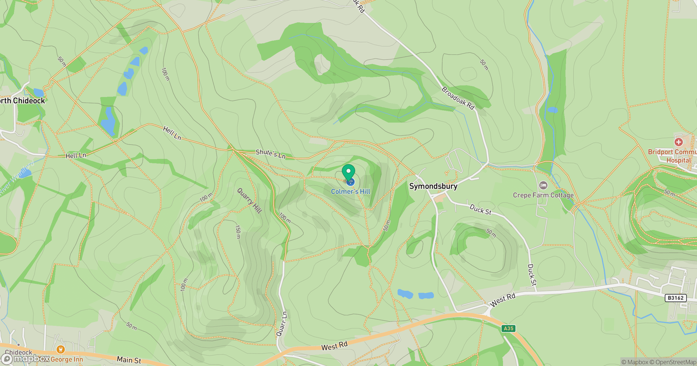
Grid reference: SY440936
View on OpenStreetMapOpens a map in a new tab, centred on the hill.



No comments yet. Be the first.