

Clachnaben
Good walks are even better shared.
NO6186 : Clachnaben trig
Iain Macaulay Photo source
Overview
Clachnaben is a 589 m Dodd in Glen Dye, Aberdeenshire, distinguished by its large granite summit tor. The hill paths reach the tor’s base; the true high point requires a short exposed scramble above substantial drops.
Clachnaben
Clachnaben is a 589 m Dodd in Glen Dye, Aberdeenshire. Its striking granite tor forms the true summit at NO615865. The lower trig pillar to the west, about 579 m high, is a separate feature. The final rocks require a short exposed scramble, with substantial drops; a walk to the tor’s base remains a worthwhile outing if the scramble is unsuitable.
Returning walks
The standard out-and-back starts at Clachnaben Quarry car park beside the B974, north of Bridge of Dye. Follow the woodland approach and bridge, then the path through Miller’s Bog and beside Black Hillocks, climbing the stone steps to the tor. Return by the same route all the way to the original car park, including the uphill woodland finish. Walkhighlands publishes 9 km, 511 m total ascent and 3 hours for this full return.
A separate Black Hillocks circuit uses the south side of the plantation on the ascent and its north side below Mount Shade on the return, finishing through the woods at the same quarry car park. Aberdeen Hillwalking Club’s Walk 2 of 27 April 2025 publishes 10.8 km and 502 m ascent/descent, without a route-specific time. It includes fords and is unsuitable when crossings are unsafe. Its figures must not be combined with the standard out-and-back.
Summit, terrain and views
Tracks and woodland paths give way to a built hill path with pitched stone steps and some boggy ground. The tor’s steep front is rock-climbing ground; the walking approach goes round its north side to the easier western rocks. Reaching the highest rock still requires scrambling. Wetness, ice and strong wind increase the risk. Views include Lower Deeside, Bennachie to the north and Mount Battock to the west, subject to visibility.
Geology, name and heritage
BGS identifies Clachnaben Granite as part of the Mount Battock Pluton, with a Wenlock-to-Early-Devonian age range. The tor is natural bedrock. Scottish Gaelic Clach na Beinne means stone of the hill. The Clan Strachan Scottish Heritage Society records Clachnaben as the clan’s war cry.
Volunteers have worked on the access path since 1997, with repairs recorded in 2018–19. Older route descriptions attribute same-way return advice to the Clachnaben Path Trust. OSCR records the trust’s removal from the charity register in July 2024, and the Glen Dye Moor project’s August 2024 addendum describes it as defunct. Keep to the maintained path and follow current signs rather than treating the older attribution as a newly confirmed instruction.
Access and facilities
The standard start is the small quarry car park at NO648868, about 750 m north of Bridge of Dye on the B974. It can fill up. Do not block entrances or park unsafely. Spital Burn parking lies south of the bridge and is a different start; the project reports upgrades there, but proposed toilets have not been verified as open. Local guides list no facilities at the quarry. Bring food and water; Banchory provides shops and cafés. Walkhighlands lists no public transport to the standard start.
Care on the hill
Use footwear with grip, carry navigation and suitable clothing, check the forecast and allow daylight for the whole return. Do not rely on mobile reception. Keep dogs under control, respect wildlife, and keep clear of active forestry, restoration work or shooting. Follow reasonable current land-management advice.
Nearby hills include Mount Shade (507 m, NO626870), Hill of Edendocher (577 m, NO604859), Sandy Hill (592 m, NO593858) and Mount Battock (778 m, NO549844). Mount Battock is a considerably longer extension, not part of the standard 9 km walk.
Explore routes near Clachnaben
Walks starting near this hill. Open a route to check its map, distance and full itinerary.
Potarch to Shooting Greens: Deeside Way return
View route
Banchory to Milton of Crathes: Deeside Way return
View route
Milton of Crathes to Drumoak: Deeside Way return
View route
Loch Kinord: Muir of Dinnet Woodland Circuit
View route
Route planning notes
These notes describe possible approaches. Check a route's map and access information when planning your walk.
Clachnaben from the quarry car park (return)
Start and finish at Clachnaben Quarry car park on the B974, north of Bridge of Dye (NO648868). Walk southwest through the plantation, cross the track and follow the wall downhill. Cross the bridge, then take the right-hand track through Miller’s Bog and keep right at the next main fork. Pass the gate/stile and follow the built path beside Black Hillocks plantation and up the stone steps. Go around the tor’s north side to its easier western approach. The true summit requires a short exposed scramble; the nearby lower trig point is separate. Retrace the same path through the plantation, over the bridge and uphill through the woods to the original car park. Walkhighlands gives 9 km, 511 m total ascent and 3 hours for this complete return. Stop below the tor if the rock, weather or exposure exceeds your ability.
Clachnaben via Black Hillocks (circuit)
Start and finish at the quarry car park north of Bridge of Dye. Follow the woodland path southwest, then descend south to the bridge and follow the route west beside the burn, crossing the fords described in the source. Keep to the south side of Black Hillocks plantation and climb to Clachnaben’s tor. Reaching the highest rock requires the exposed scramble; the lower trig point is not the summit. Descend towards Black Hillocks, then take the alternative path round its north side beneath Mount Shade. Continue through the woods to the track crossroads and turn northeast back to the same quarry car park. Aberdeen Hillwalking Club’s Walk 2 (27 April 2025) gives 10.8 km and 502 m total ascent/descent; no route-specific walking time is published. Avoid the fords in high water and follow current land-management notices.
Make a day of it, together
Find someone to share the walk with, or organise a day out along a route you like.
Photo Gallery
View all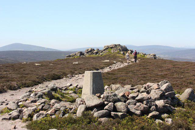 Photo could not load
NO6186 : Clachnaben trig
Iain Macaulay
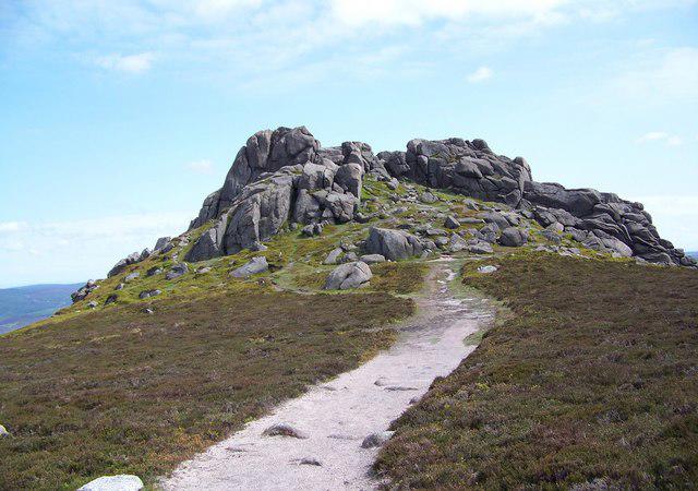 Photo could not load
NO6186 : Clachnaben
Maigheach-gheal
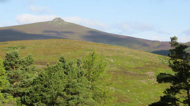 Photo could not load
NO6186 : Clachnaben
Richard Webb
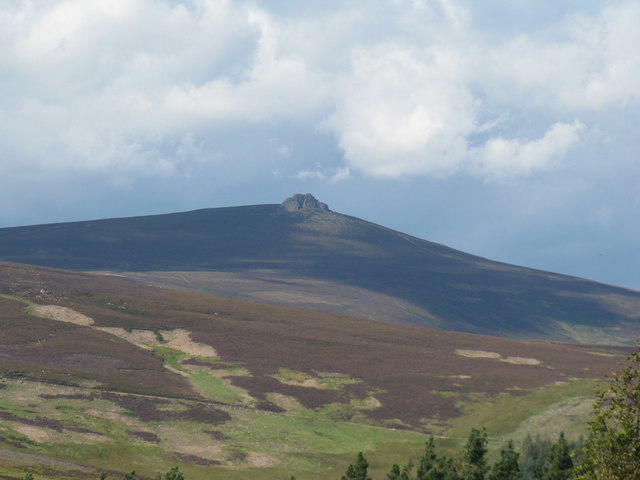 Photo could not load
NO6186 : View to Clachnaben
Dave Spicer
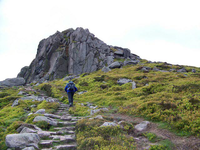 Photo could not load
NO6186 : Nearing the tor of Clachnaben
Maigheach-gheal
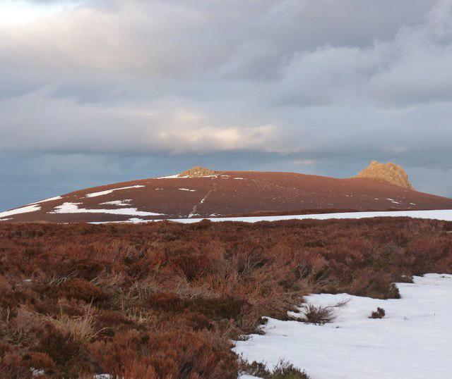 Photo could not load
NO6186 : Evening light on Clachnaben
Alan O'Dowd
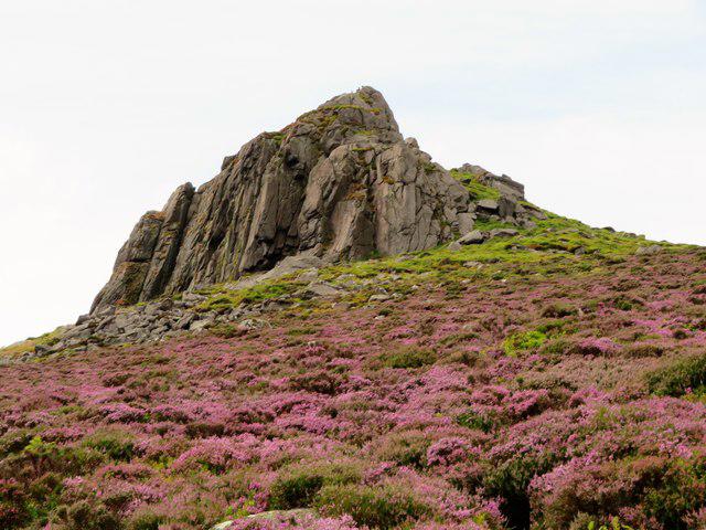 Photo could not load
NO6186 : Clachnaben Summit
Andrew Wood
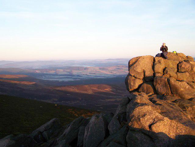 Photo could not load
NO6186 : Feughside from Clachnaben Tor
Dominic Dawn Harry and Jacob Paterson
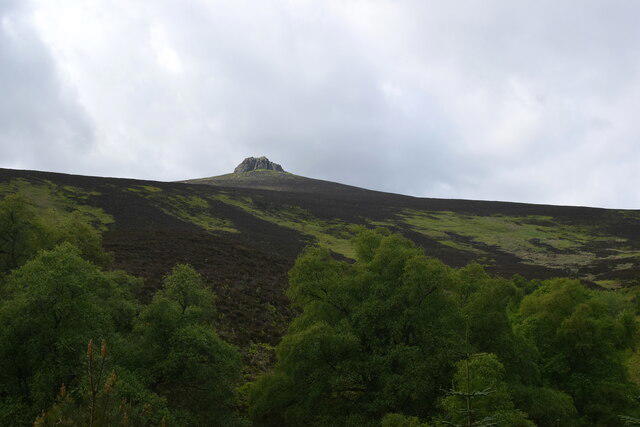 Photo could not load
NO6186 : The only way is up
Bill Harrison
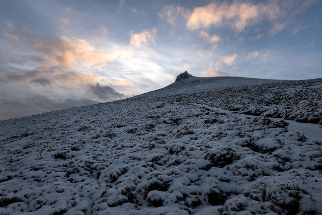
NO6186 : Clachnaben at sunset
Nigel Corby
Hill facts and local notes
Classifications
Elevation
589m
1,932 ft
Prominence
53m
Coordinates
56.9681, -2.6342
NO615865
OS Map
45
Explorer: OL54 395
At the Summit
The 589 m summit at NO615865 is the natural granite tor. The concrete trig pillar to its west is lower, at about 579 m. Reaching the highest rock involves a short scramble with substantial drops; reaching the trig point or tor base does not reach the true summit.
Terrain & Geology
The British Geological Survey identifies Clachnaben Granite as part of the Mount Battock Pluton. Its Lexicon gives granite with an age range from the Wenlock Epoch of the Silurian to the Early Devonian. The natural summit tor is exposed bedrock, rather than a built cairn.
Views & Scenery
Open views across Aberdeenshire and Lower Deeside, with Bennachie’s Mither Tap prominent to the north and Mount Battock to the west. Cloud and visibility can limit the outlook.
Best Seasons
Heather colours the surrounding moorland in late summer; clear conditions are needed for the longer views.
History & Heritage
Name Origin
From Scottish Gaelic Clach na Beinne, meaning stone of the hill, referring to the prominent summit tor.
Historical Significance
Clachnaben is the war cry recorded by the Clan Strachan Scottish Heritage Society. Volunteer work has helped repair its heavily used path: the Glen Dye Moor project records maintenance since 1997 and repairs in 2018–19. The Path Trust was registered in 1998; OSCR records its removal from the charity register in July 2024.
Getting There & Facilities
Parking
Clachnaben Quarry car park beside the B974, about 750 m north of Bridge of Dye, at NO648868. It is small and can fill up; park without blocking access. This is separate from Spital Burn parking south of the bridge, where the Glen Dye Moor project reports improvement works. Check signs on arrival.
Public Transport
Walkhighlands lists no public transport to the quarry starting point. Arrange onward transport to this rural B974 start; do not assume a bus serves the car park.
Nearby Facilities
Do not rely on toilets or other facilities at the quarry car park; local route guides list none. Bring food and water. Banchory has shops and cafés. Planned facilities at the separate Spital Burn car park are not confirmed as open.
Safety Information
Known Hazards
- The highest tor requires exposed scrambling on small topmost rocks above a substantial drop. Stop below it if conditions or ability make the scramble unsuitable.
- Stone steps, boulders and boggy stretches can be slippery; wet rock, ice and strong wind make the tor more serious.
- The Black Hillocks circuit includes fords. Do not attempt unsafe crossings in high water.
- Carry a map and compass and a backup navigation method; mobile reception can be poor. Allow enough daylight for the full return.
- Keep clear of active forestry, restoration work and shooting. Follow reasonable on-site advice, keep dogs under control and leave gates as found.
Seasonal Hazards
Snow or ice can make the stepped path and exposed tor hazardous. Heavy rain can raise burns and flood fords on the circuit. Follow current estate notices and any fire-risk or land-management advice; seasonal conditions may require turning back.
General Safety Tips
- Check weather conditions before setting out
- Carry appropriate clothing and equipment
- Let someone know your planned route
- Take a map, compass, and GPS device
- Carry emergency supplies: food, water, first aid kit, torch
Hills
Some common questions about the hills answered
Are there group walks up Clachnaben?
Many walkers use Walkmates to join or organise walks with others. You can check for group walks around Clachnaben through the maps
Are there other walkers around Clachnaben?
Activity varies by location and time, but Walkmates lets you see whether others have shared walks or shown interest in this area. Find other people through the walking friends search walking friends for Clachnaben search or of course create your own walk for Clachnaben
Can I organise a walk to Clachnaben?
Yes. If there aren’t any walks listed already, you can create a walk and make it available for others to join.
If you're signed up to Walkmates, you can create a walk to Clachnaben.
How do I find a walk up this hill?
There are often multiple ways to walk this hill, depending on experience and route preference. Walkmates helps you explore walks and routes that others have shared.
Can I suggest a new route up Clachnaben?
Yes. You can suggest or create routes to share with others. Walkmates focuses on the social side of walking, so routes are used to help people organise walks and explore areas together, rather than as detailed navigation tools or route libraries.
Other uses really appreciate knowledgeable walkers sharing their routes. Share your favourite route to Clachnaben here
The is an error or something incorrect about this hill. How do I let you know?
We always strive to keep the information on Walkmates as accurate as possible. If you find an error, please let us know through the contact form and we'll aim to correct it as quickly as possible
Community Discussion
Comments
Location
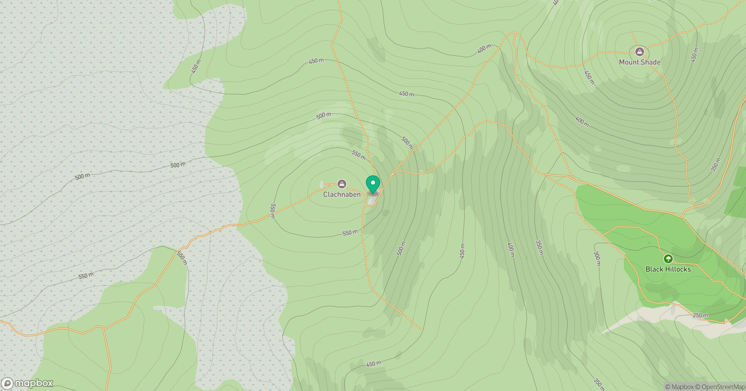
Grid reference: NO615865
View on OpenStreetMapOpens a map in a new tab, centred on the hill.

No comments yet. Be the first.