

Loch Kinord: Muir of Dinnet Woodland Circuit
- Distance
- 4.0 mi
- Est. time
- 2h 30m
- Difficulty
- Medium
About this walk
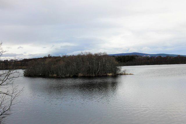
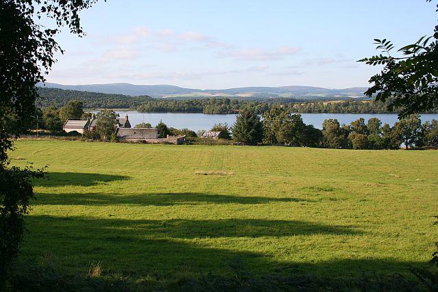
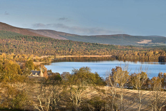
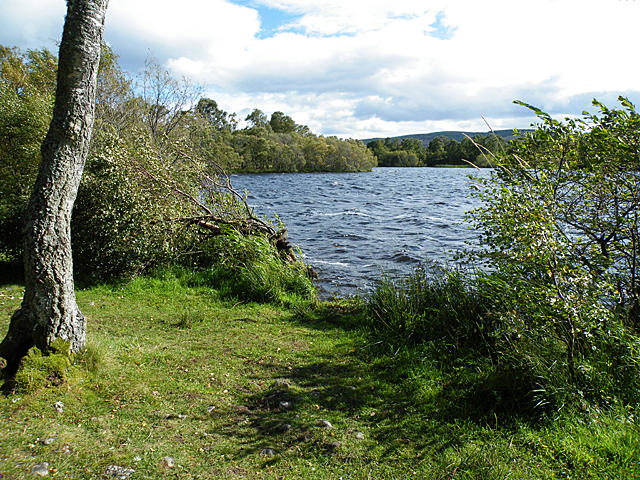
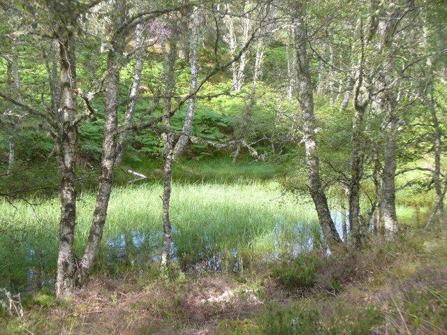
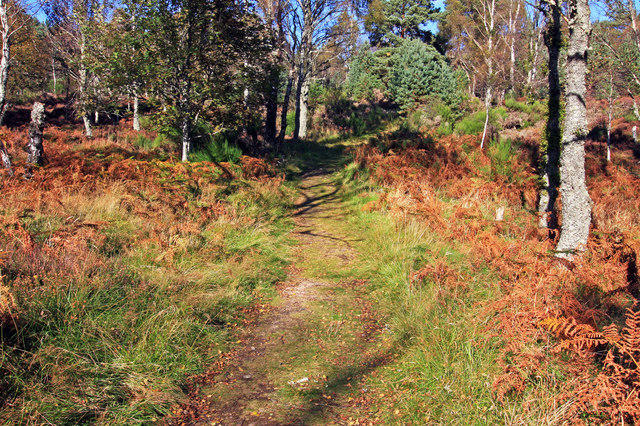
Start at Burn o' Vat Visitor Centre car park and cross the B9119 carefully to join the blue Loch Kinord Trail. Follow the woodland path round the northern side of the loch to the carved Pictish cross, then continue around the eastern and southern shores. The circuit passes views towards the crannog and Castle Island before returning through the birchwoods near Meikle Kinord. Keep to the blue waymarks where the shorter reserve trails branch away.
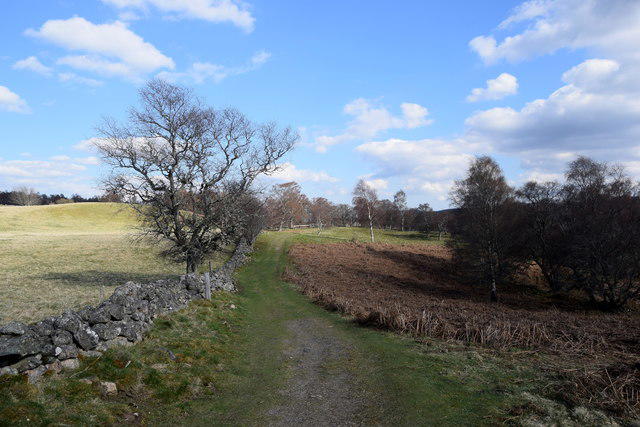
Allow about two and a half hours. The paths are established but include narrow, uneven stretches, tree roots, short slopes and muddy patches after rain. NatureScot grades this as a strenuous trail because of the path conditions. It is a low-level woodland circuit, with no mountain ascent. Wear boots or walking shoes with good grip and take particular care at the road crossing.
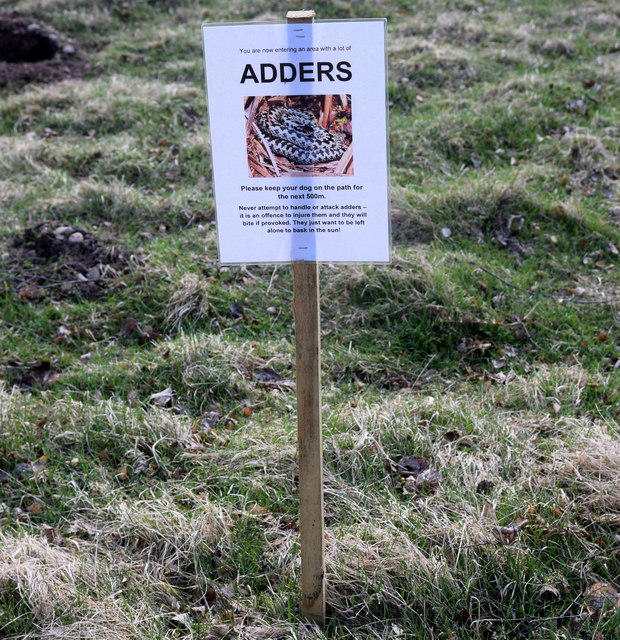
The visitor-centre car park has picnic tables and toilets that NatureScot lists as open year round. The information centre normally opens 10am to 4pm from Easter to October, with shorter winter hours. Carry your own refreshments. Keep dogs on a short lead from April to July to protect breeding birds, and stay back from the water's edge. The rocky scramble into the Vat is a separate trail. Route information: NatureScot's Muir of Dinnet reserve map, trail guide and visitor information.
Walk details
- County
- Grampian
- Walk type
- Circular
- Category
- Countryside
- Distance
- 4.0 mi (6.4 km)
- Est. time
- 2h 30m
- Explorer
- Yes, off the beaten track
Route map
Use the route details to plan your walk
If the map image does not load, the route description and starting-point details are still on this page.
The interactive map will load when you reach this section.
Where to start
Directions to startWalking on your own?
Start when you're ready and add the walk to your history. No group date needed.
Photos
View all 108 →This walk is waiting for a date
Not ready to pick a date? Follow it and you'll hear when somebody else does.
No commitment. You can follow it now and pick a date later.
More walks nearby
Other routes starting close to this one
Rothiemurchus: Beaver Trail and Lochan Mor
Culbin Forest: Hill 99, Gravel Pit Ponds and Dragonfly Pool
Tentsmuir Forest: Ice House Trail
Explore more: Walks in Grampian
Joining a walk
A few things to know before you make plans.
Can I join if no one else is going?
You can be the first to join a scheduled walk. A suggested date is an idea for a group walk; choose Set this date up to organise it. Check the participant list and meeting details before setting off.
What if there is no date yet?
Choose Put a date on this walk to organise a group walk. Not ready to choose a day? Follow the route for scheduling updates, or save it for later.
What does the organiser do?
The organiser sets the date and meeting details and helps the group get started. They are a fellow walker and may be new to the route too.
Each walker is responsible for their own safety and navigation. Check the route, weather, equipment and whether the walk suits your experience and fitness.
Can I walk this route on my own?
Yes. Choose Walk this route on your own to open the start screen, then start when you are ready. Finish the walk to add it to your walking history. You do not need a group date.
What happens after I join?
Use the walk page to check meeting details, updates and who is going. Check in from 24 hours before the start to let the group know you still plan to come.
How do I confirm plans with the group?
Check the participant list and check-ins, and message the organiser or other walkers to confirm where to meet and who is coming. This is especially useful when the group is small.