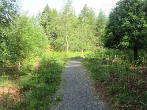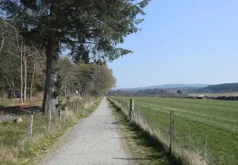
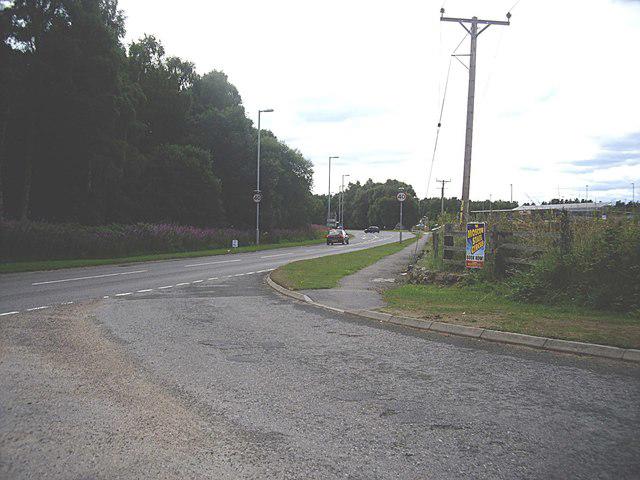
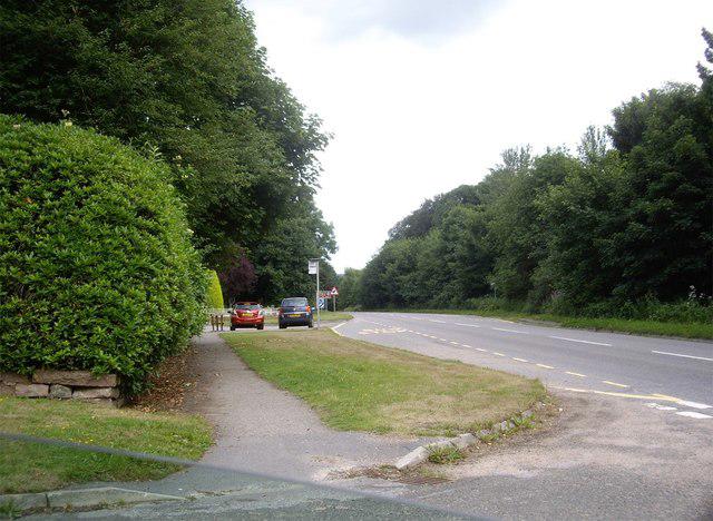
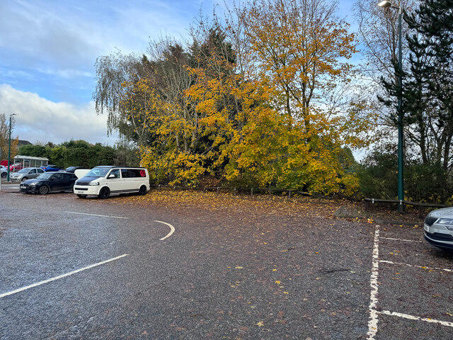
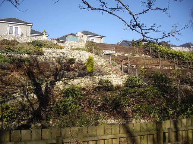
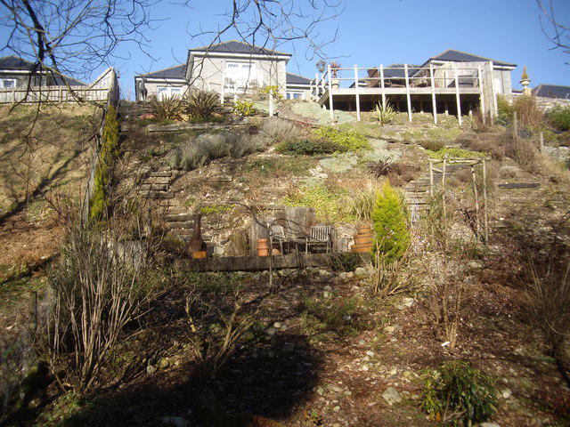
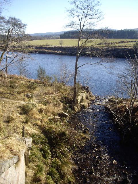
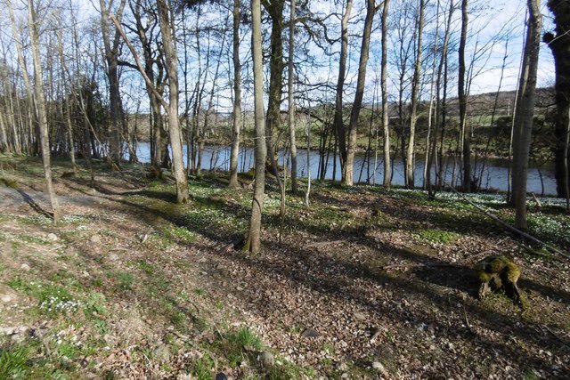
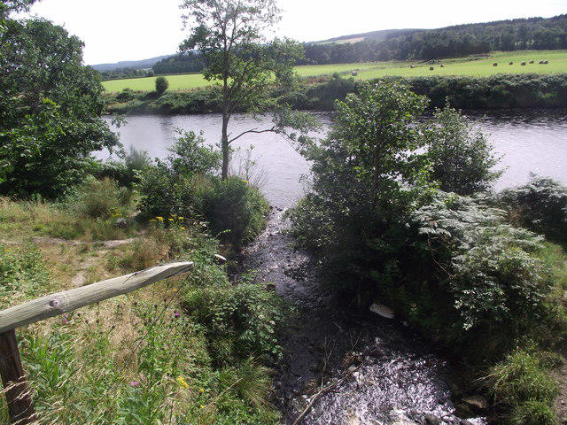
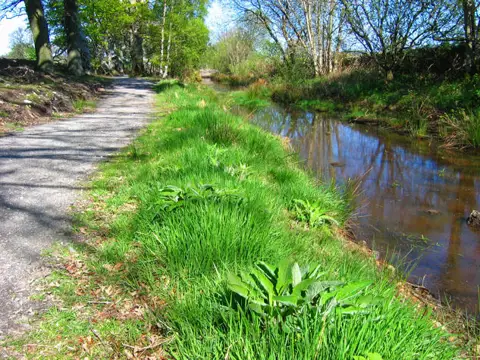
Image shared for Banchory to Milton of Crathes: Deeside Way return
Countryside Out & back

Banchory to Milton of Crathes: Deeside Way return

Grampian

Distance
5.9 mi
Est. time
2h 30m
Difficulty
Easy
PaulWalkmates Route by PaulWalkmates

About this walk

Start at the southeastern pedestrian exit of Bellfield 2, the free council car park off Dee Street in Banchory. Join the signed Deeside Way through King George V Park and St Ternan Park, then follow the former railway east towards Milton of Crathes. The route passes behind the sawmill, crosses the Burn of Bennie and continues through woodland beside the River Dee and the restored Royal Deeside Railway. Turn around at the Milton end of the railway path and return by the same route.

Allow around two and a half hours for this roughly 9.5 km walk. Most of the route is a gently graded shared walking and cycle path, with asphalt nearer Banchory and gravel further east. Expect bicycles, damp leaves and puddles after rain. Take care at the small access-road crossing near St Ternan Park. Keep dogs under control around other path users and stay on the walking path beside the railway.

Banchory has shops and places to eat near the start. The turnaround is Milton of Crathes, where refreshments may be available depending on opening hours. This route does not cross the A93 or continue through the road junction at Crathes. Bellfield 2 is listed as free and accessible at all times by Aberdeenshire Council, except when used for a specific event; check signs on arrival.

Route and access information: Deeside Way official Drumoak to Banchory guide and map, Aberdeenshire Council Banchory walking map, council car-park information and current path notices, checked 4 October 2026.

Walk details

County
Grampian
Walk type
Out & back
Category
Countryside
Distance
5.9 mi (9.5 km)
Est. time
2h 30m
Explorer
Yes, off the beaten track

Route map

Use the route details to plan your walk

If the map image does not load, the route description and starting-point details are still on this page.

The interactive map will load when you reach this section.

Where to start

Directions to start

Walking on your own?

Start when you're ready and add the walk to your history. No group date needed.

This walk is waiting for a date

Not ready to pick a date? Follow it and you'll hear when somebody else does.

No commitment. You can follow it now and pick a date later.

Joining a walk

A few things to know before you make plans.

Can I join if no one else is going?

You can be the first to join a scheduled walk. A suggested date is an idea for a group walk; choose Set this date up to organise it. Check the participant list and meeting details before setting off.

What if there is no date yet?

Choose Put a date on this walk to organise a group walk. Not ready to choose a day? Follow the route for scheduling updates, or save it for later.

What does the organiser do?

The organiser sets the date and meeting details and helps the group get started. They are a fellow walker and may be new to the route too.

Each walker is responsible for their own safety and navigation. Check the route, weather, equipment and whether the walk suits your experience and fitness.

Can I walk this route on my own?

Yes. Choose Walk this route on your own to open the start screen, then start when you are ready. Finish the walk to add it to your walking history. You do not need a group date.

What happens after I join?

Use the walk page to check meeting details, updates and who is going. Check in from 24 hours before the start to let the group know you still plan to come.

How do I confirm plans with the group?

Check the participant list and check-ins, and message the organiser or other walkers to confirm where to meet and who is coming. This is especially useful when the group is small.