Milton of Crathes to Drumoak: Deeside Way return
- Distance
- 7.3 mi
- Est. time
- 3h 30m
- Difficulty
- Easy
About this walk
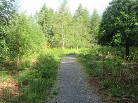
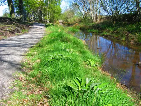
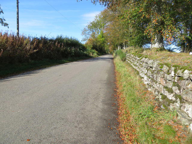
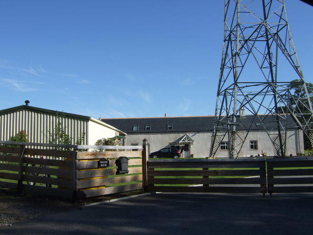
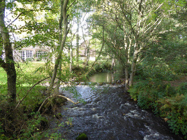
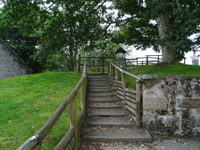
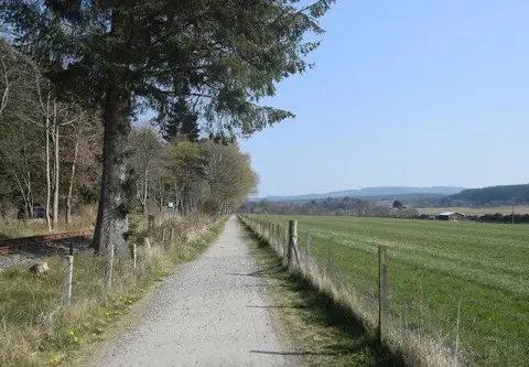
Start at the free visitor parking at Milton of Crathes, reached from the A93 opposite the Crathes Castle entrance. Follow the signed Deeside Way east through the car park and over the old stone pack bridge. At Crathes, follow the waymarks through the playing-field parking, old sand and gravel workings and gated access road between houses. This access road is part of the official walking route; keep to the signed passage. Cross at the marked junction and use the short pavement section before rejoining the separate path beside the A93. Continue through the wooded stretches and open ground towards Park and the western edge of Drumoak. Turn back where the separate path meets the village pavement, then retrace the same route to Milton.
The roughly 11.8 km return is mostly gently graded on surfaced paths, pavement and tracks. Allow about 3 hours 30 minutes, including brief stops. There are road crossings, a narrow old bridge and shared sections used by cyclists; take care at junctions and give others room. Wet leaves and puddles can make sections slippery. This walk does not enter Crathes Castle or cross the River Dee. Shops and food are available at Milton during their own opening hours. Leys Estate states that parking is free, but check on-site signs for any event restrictions or closing times. Keep dogs under control near roads and other path users.
Route checked against the official Deeside Way Drumoak to Banchory map and roadbook, with parking information from Leys Estate. Check Aberdeenshire Council path updates and local signs before setting out.
Walk details
- County
- Grampian
- Walk type
- Out & back
- Category
- Countryside
- Distance
- 7.3 mi (11.8 km)
- Est. time
- 3h 30m
- Explorer
- Yes, off the beaten track
Route map
Use the route details to plan your walk
If the map image does not load, the route description and starting-point details are still on this page.
The interactive map will load when you reach this section.
Where to start
Directions to startWalking on your own?
Start when you're ready and add the walk to your history. No group date needed.
Photos
View all 109 →This walk is waiting for a date
Not ready to pick a date? Follow it and you'll hear when somebody else does.
No commitment. You can follow it now and pick a date later.
More walks nearby
Other routes starting close to this one
Potarch to Shooting Greens: Deeside Way return
Deeside Way
Loch Kinord: Muir of Dinnet Woodland Circuit
Explore more: Walks in Grampian
Joining a walk
A few things to know before you make plans.
Can I join if no one else is going?
You can be the first to join a scheduled walk. A suggested date is an idea for a group walk; choose Set this date up to organise it. Check the participant list and meeting details before setting off.
What if there is no date yet?
Choose Put a date on this walk to organise a group walk. Not ready to choose a day? Follow the route for scheduling updates, or save it for later.
What does the organiser do?
The organiser sets the date and meeting details and helps the group get started. They are a fellow walker and may be new to the route too.
Each walker is responsible for their own safety and navigation. Check the route, weather, equipment and whether the walk suits your experience and fitness.
Can I walk this route on my own?
Yes. Choose Walk this route on your own to open the start screen, then start when you are ready. Finish the walk to add it to your walking history. You do not need a group date.
What happens after I join?
Use the walk page to check meeting details, updates and who is going. Check in from 24 hours before the start to let the group know you still plan to come.
How do I confirm plans with the group?
Check the participant list and check-ins, and message the organiser or other walkers to confirm where to meet and who is coming. This is especially useful when the group is small.