

Carn na Loinne
Good walks are even better shared.
Overview
Carn na Loinne
Elevation: 853 meters
Nestled in the heart of the Scottish Highlands, Carn na Loinne is not just another bump in the landscape; it’s a Marilyn that beckons adventurers and serious hikers alike. At 853 meters, it may not be the tallest mountain in Scotland, but its charm lies in its accessibility and the stunning vistas it offers.
Geology
The rock that composes this glorious mountain is primarily Dalradian schist, formed in the depths of the Earth's crust millions of years ago. The schist provides a foundation of solid rock, interspersed with areas of soft grass that can make the ascent less strenuous but just as delightful. For geology enthusiasts, the glacial features spotted around the mountain tell an exciting tale of movement and change over eons, albeit without the shove of a modern-day tour guide.
Routes
If you’re looking to scale Carn na Loinne, there are several routes, but the most popular is from the A86. It’s a straightforward trek that's user-friendly for most fitness levels, catering to families and seasoned adventurers alike. The gentle ascent leads you through enchanting glades and offers fantastic photo opportunities as you make your way to the summit. Just don't forget to breathe!
Summit Features
Upon reaching the peak, you’ll be greeted by a monumental cairn, which could also serve as a great place for a picnic – just watch out for the wind! The accompanying trig point marks the pinnacle and acts like a majestic lookout tower, perfect for map-checking and photo ops.
Terrain Type
Expect a delightful blend of rocky outcrops and sprawling grassy slopes. However, watch your step as those cheeky bogs can catch you off guard when you least expect it!
Views
Once you’ve caught your breath and perhaps taken a moment to gawk at your surroundings, you’ll realise that the vistas are nothing short of breathtaking. From the summit, the panorama includes:
- Sweeping views of the Nevis Range
- The tranquil Loch Laggan glimmering below
- A veritable buffet of other Munros stretching towards the horizon
The best time to appreciate this feast for the eyes is undoubtedly late spring or early autumn, when the air is crisp, and visibility is at its peak.
Hazards
Adventurers are reminded to be on guard for loose rocks on steeper sections, as well as sudden weather changes that can turn your sunlit hike into a mini-expedition in the rain. And let's not forget the infamous bogs lurking in the lower parts—always a good idea to wear sturdy boots!
Access
The nearest parking is a small layby right on the A86; it accommodates a modest number of vehicles, so get there early before the other eager mountain-goers beat you to it. If you prefer public transportation, the closest bus stop lies in Laggan, about 8 km from your starting point, but do check the bus schedules as they tend to be less frequent.
Nearby Summits
If you're feeling adventurous (or a bit mad, let's be honest), there are a couple of nearby peaks worth a look:
- Creag Pitridh (823 m)
- Meall na Teanga (810 m)
Facilities
On the mountain itself, facilities are non-existent, but Laggan offers a quaint pub and a shop where you can refuel before or after your ascent. Because who doesn't love a hearty meal to round off a day of hiking?
Conclusion
To sum it up, Carn na Loinne may be petite in stature compared to its taller neighbours, but it packs a punch in character, views, and accessibility. Perfect for a day out with family or that impromptu adventure you've been yearning for on a weekend. So lace up those boots and set off for a fine day of exploring!
Explore routes near Carn na Loinne
Public walks starting within 80 km of this hill. Nearby does not mean a route reaches the summit; check its map and access before setting out.
Aviemore: Loch an Eilein and the Croft Track from Rothiemurchus
View route
Rothiemurchus: Beaver Trail and Lochan Mor
View route
Aberlour to Carron Bridge: Speyside Way riverside return
View route
Craigellachie to Aberlour: Speyside Railway Path Return
View route
Route planning notes
These notes describe possible approaches, not verified navigable routes or permission to cross land. Check current paths, local access rules and conditions before setting out.
Route from the A86
A well-trodden path leading directly from the A86, offering a gradual ascent with stunning views along the way.
Make a day of it, together
Find someone to share the walk with, or organise a day out along a route you like.
Photo Gallery
View all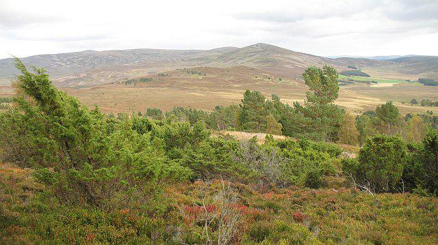 Photo could not load
NJ0322 : Cromdale Hills from Carn na Loinne
Richard Webb
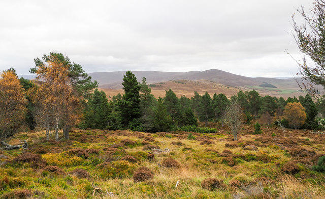 Photo could not load
NJ0322 : Moorland and woodland on Carn na Loinne
Trevor Littlewood
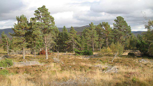 Photo could not load
NJ0322 : Pine woods, Carn na Loinne
Richard Webb
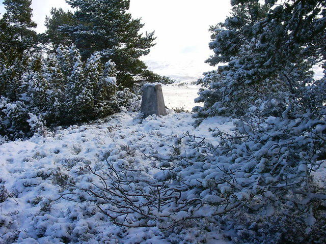 Photo could not load
NJ0322 : Cromwells Hill trig
Iain Macaulay
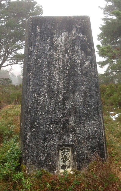 Photo could not load
NJ0322 : Cromwells Hill Trig Point Flush Bracket S7518
thejackrustles
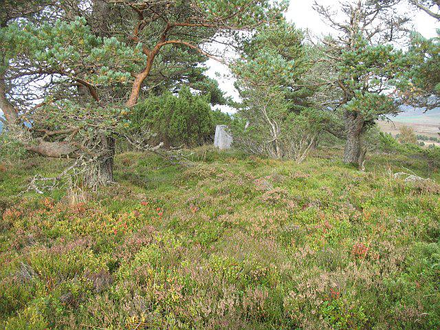 Photo could not load
NJ0322 : Carn na Loinne, summit
Richard Webb
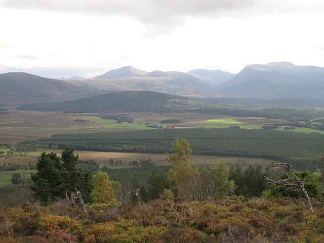 Photo could not load
NJ0322 : Summit area, Carn na Loinne
Richard Webb
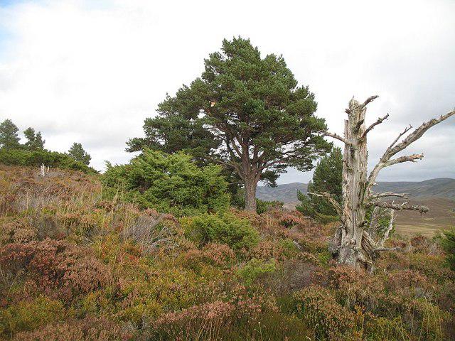 Photo could not load
NJ0322 : Carn na Loinne
Richard Webb
Hill facts and local notes
Classifications
Elevation
459m
1,506 ft
Prominence
117m
Coordinates
57.2811, -3.5989
NJ037222
OS Map
36
Explorer: OL57N OL60 OL61S 403N 418 419S
At the Summit
At the summit, hikers are greeted by a sizeable cairn that serves both as a wind shelter and a fantastic photo opportunity. There is also a small trig point indicating the highest point.
Terrain & Geology
The lithology of Carn na Loinne primarily consists of Dalradian schist formed in the Precambrian era, which gives rise to its rugged and striking appearance. The mountain is also bordered by glacial features, evidencing its tumultuous geological past.
Views & Scenery
From the summit, one can enjoy sweeping views of the surrounding Munros, Loch Laggan and the impressive Nevis Range in the distance.
History & Heritage
Name Origin
The name 'Carn na Loinne' translates roughly to 'Hill of the Fork', though the exact origin is somewhat murky and could refer to a number of natural features.
Historical Significance
This area has been a site of human activity since prehistoric times, with evidence of ancient settlements nearby, and the landscape remains intertwined with local folklore.
Getting There & Facilities
Check current local access restrictions, parking rules and transport timetables before travelling. These notes do not confirm public access to the summit.
Parking
There is a small layby along the A86, suitable for a handful of cars. Arrive early to nab a spot!
Public Transport
The nearest bus stop is in Laggan, approximately 8 km east of the mountain; however, service is sporadic, so check the timetable!
Nearby Facilities
While there are no facilities at the mountain itself, Laggan boasts a pub and a small shop for refreshments and supplies.
Safety Information
Known Hazards
- Loose rocks on steep sections, possible rapid weather changes, and boggy terrain at lower altitudes.
General Safety Tips
- Check weather conditions before setting out
- Carry appropriate clothing and equipment
- Let someone know your planned route
- Take a map, compass, and GPS device
- Carry emergency supplies: food, water, first aid kit, torch
Hills
Some common questions about the hills answered
Are there group walks up Carn na Loinne?
Many walkers use Walkmates to join or organise walks with others. You can check for group walks around Carn na Loinne through the maps
Are there other walkers around Carn na Loinne?
Activity varies by location and time, but Walkmates lets you see whether others have shared walks or shown interest in this area. Find other people through the walking friends search walking friends for Carn na Loinne search or of course create your own walk for Carn na Loinne
Can I organise a walk to Carn na Loinne?
Yes. If there aren’t any walks listed already, you can create a walk and make it available for others to join.
If you're signed up to Walkmates, you can create a walk to Carn na Loinne.
How do I find a walk up this hill?
There are often multiple ways to walk this hill, depending on experience and route preference. Walkmates helps you explore walks and routes that others have shared.
Can I suggest a new route up Carn na Loinne?
Yes. You can suggest or create routes to share with others. Walkmates focuses on the social side of walking, so routes are used to help people organise walks and explore areas together, rather than as detailed navigation tools or route libraries.
Other uses really appreciate knowledgeable walkers sharing their routes. Share your favourite route to Carn na Loinne here
The is an error or something incorrect about this hill. How do I let you know?
We always strive to keep the information on Walkmates as accurate as possible. If you find an error, please let us know through the contact form and we'll aim to correct it as quickly as possible
Community Discussion
Comments
Location
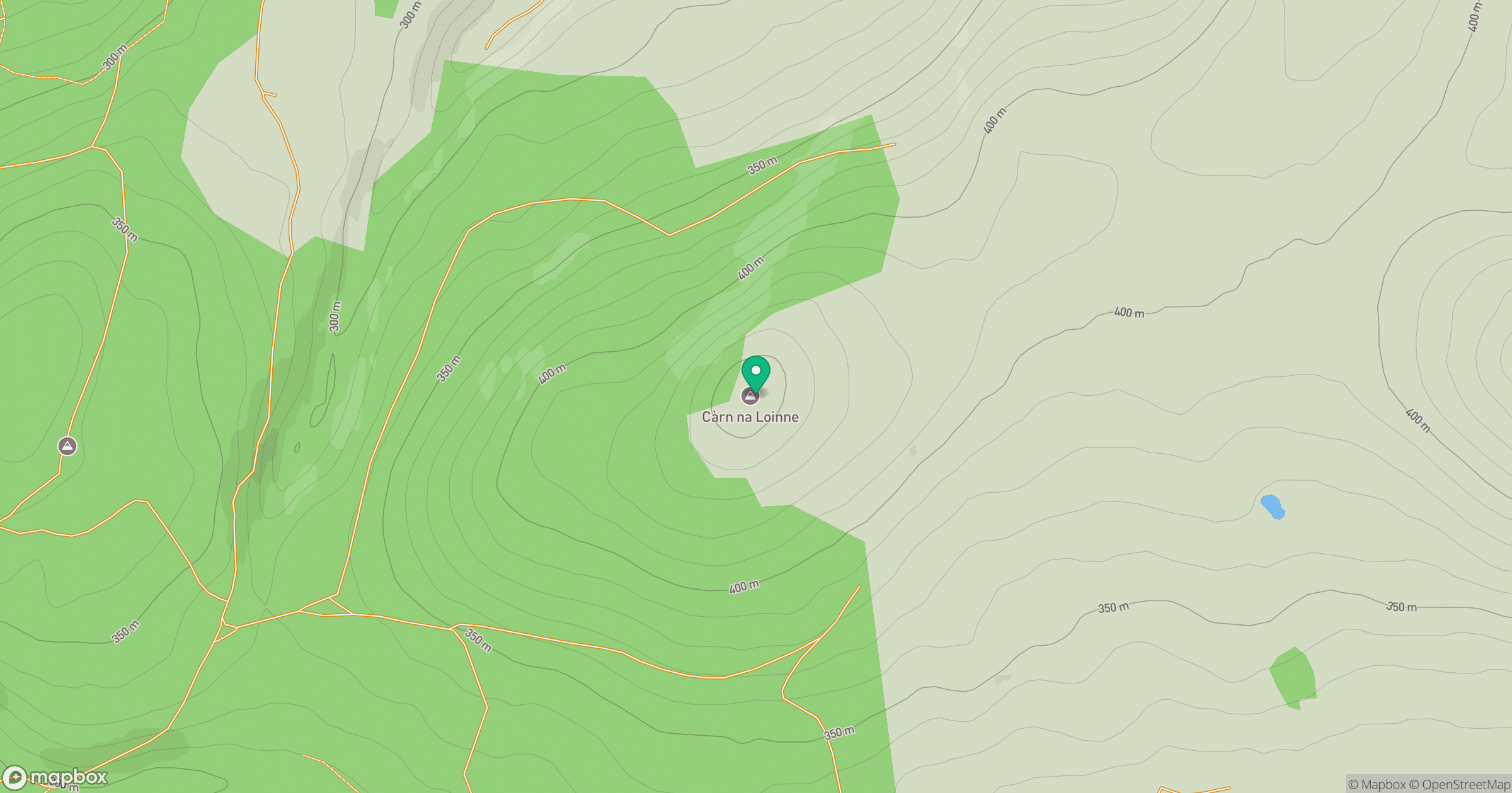
Grid reference: NJ037222
View on OpenStreetMapOpens a map in a new tab, centred on the hill.
Hills within 30 km
Straight-line distance, not a walking route or confirmation of access.
Bynack More
1,090m
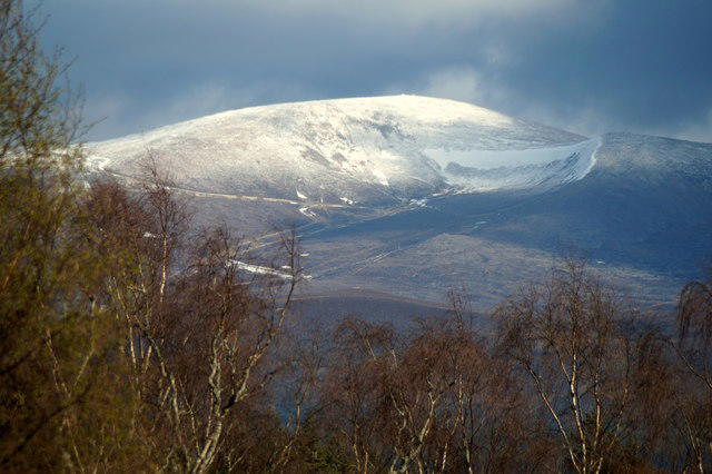
Cairn Gorm
1,245m
Beinn Mheadhoin
1,183m
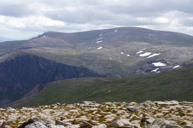
Ben Macdui [Beinn Macduibh]
1,309m
Braeriach
1,296m
No comments yet. Be the first.