

Sgor Gaoith
Good walks are even better shared.
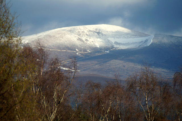
NN9099 : Sgòr Gaoith
Richard Webb Photo source
Overview
Sgor Gaoith
Sgor Gaoith is a 1116 m Munro on the western Cairngorm plateau above Glen Feshie. Its Gaelic name means peak of wind. The recorded high point is ground beside the crag edge above Loch Einich; the 1118 m height in older guides should not replace the surveyed catalogue value.
Routes
The Glen Feshie approach climbs through pinewoods to the high plateau. Returning along the approach is the simpler descent. A longer circuit crosses Meall Buidhe and Geal-charn before a pathless return to the forest path. Keep the circuit’s published distance, ascent and 6–7-hour allowance separate from the same-way option. An optional Sgoran Dubh Mor detour needs additional planning.
Terrain and safety
This is a mountain walk requiring navigation even though much of the approach is on a good path. Higher ground is exposed, with eroded and wet sections. The broad plateau can be confusing in poor visibility, while the circuit descent adds boulders and pathless heather. The summit lies beside steep cliffs; winter cornices can conceal the true edge and require specialist judgement and equipment.
Landscape
The granite landscape includes glacially modified features. Loch Einich lies below, with Braeriach across the glen. Pinewoods on the approach give way to moorland and alpine habitats in Invereshie and Inshriach National Nature Reserve.
Access
Use the reserve parking area by the Allt Ruadh on the Glen Feshie road towards Achlean. Do not assume a direct bus or on-site visitor facilities. Check current reserve and estate advice and arrange the complete outward and return journey before setting off.
Explore routes near Sgor Gaoith
Walks starting near this hill. Open a route to check its map, distance and full itinerary.
Rothiemurchus: Beaver Trail and Lochan Mor
View route
Aviemore: Loch an Eilein and the Croft Track from Rothiemurchus
View route
Glen Banvie Trail with the Bruar viewpoint
View route
Loch Muick full circuit from Spittal of Glen Muick
View route
Route planning notes
These notes describe possible approaches. Check a route's map and access information when planning your walk.
Sgor Gaoith from Glen Feshie, returning the same way
Start and finish at the Allt Ruadh parking area in Glen Feshie, near NH852012. Follow the established ascent through the pinewoods, crossing the burns and climbing the upper path to the plateau south of Sgor Gaoith. Continue north-northeast to the summit and retrace the entire approach to the car park. NatureScot’s approximately 6 km summit-path distance is one-way; no full-return distance, ascent or duration is assigned here. This avoids the pathless Geal-charn circuit descent, but still requires mountain navigation and care near the summit cliffs.
Sgor Gaoith and Geal-charn circuit from Glen Feshie
Start and finish at the Allt Ruadh parking area near NH852012. Ascend through the pinewoods to the plateau south of Sgor Gaoith and then the summit. Descend north to the broad bealach and turn west over Meall Buidhe and Geal-charn. Continue about 300 m beyond Geal-charn, then turn southwest down the pathless hillside to regain the outward path near Allt Coire na Cloiche and return through the woods. Published whole-circuit figures are 14 km, 913 m ascent and 6–7 hours. A separate detour onto Sgoran Dubh Mor is not included in these figures.
Make a day of it, together
Find someone to share the walk with, or organise a day out along a route you like.
Photo Gallery
View all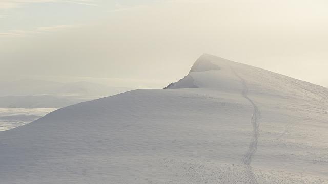 Photo could not load
NN9099 : Sgòr Gaoith
Richard Webb
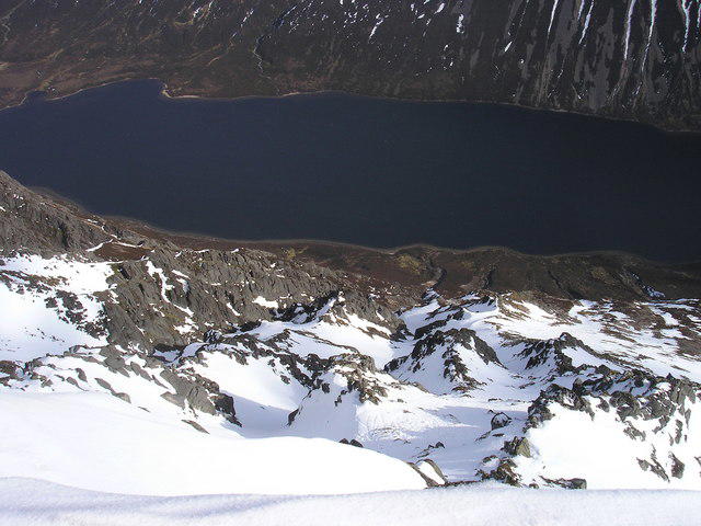 Photo could not load
NN9099 : Looking down and East, from North of the summit
Iain Lees
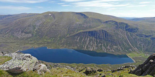 Photo could not load
NN9099 : Braeriach and Loch Einich
Adam Ward
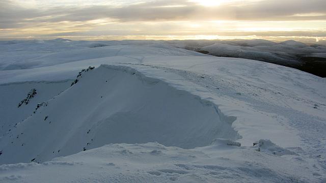 Photo could not load
NN9098 : Cornices. Sgòr Gaoith
Richard Webb
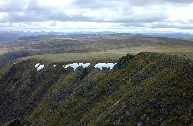 Photo could not load
NN9098 : View south from Sgor Gaoith
Nigel Brown
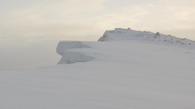 Photo could not load
NN9099 : Cornices. Sgòr Gaoith
Richard Webb
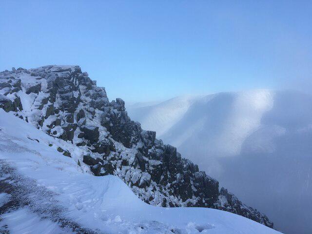 Photo could not load
NN9098 : Cliffs near the summit of Sgor Gaoith
Steven Brown
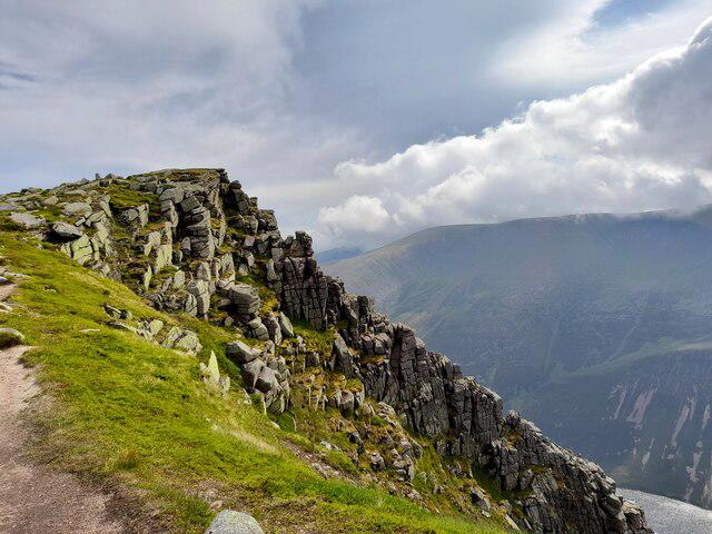 Photo could not load
NN9098 : Sgor Gaoith
David Bremner
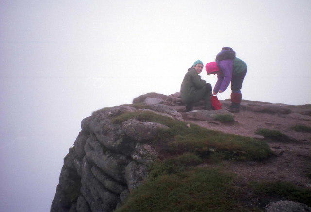 Photo could not load
NN9098 : The Summit of Sgor Gaoith
Russel Wills
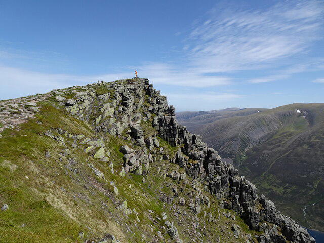
NN9098 : Sgòr Gaoith Summit, Summer
Adam Ward
Hill facts and local notes
Classifications
Elevation
1,116m
3,661 ft
Prominence
243m
Coordinates
57.0686, -3.8109
NN903989
OS Map
36 43
Explorer: OL57S 403S
At the Summit
The recorded high point is ground on the edge of a crag at 1116 m. Do not expect a summit trig point; take particular care near the cliff edge.
Terrain & Geology
Sgor Gaoith is primarily composed of granite and offers a striking example of mountain erosion, with its rugged features shaped by glacial activity during the last Ice Age.
Views & Scenery
The summit overlooks Loch Einich, with Braeriach’s cliffs and corries across the glen. The approach also gives views west over Glen Feshie towards the Monadhliath.
History & Heritage
Name Origin
The name 'Sgor Gaoith' translates to 'peak of the wind' in Gaelic, a fitting title considering the often bracing gusts encountered at the summit.
Historical Significance
The hill forms part of Invereshie and Inshriach National Nature Reserve, where management supports the transition from regenerating Caledonian pinewood through moorland to high mountain habitats.
Getting There & Facilities
Parking
Use the Invereshie and Inshriach reserve parking area by the Allt Ruadh in Glen Feshie, on the road towards Achlean. NatureScot gives NH851011; the walking guide uses the nearby NH852012 bridge-area reference. Follow current signs and keep access clear.
Public Transport
There is no verified direct public transport to the walk start. NatureScot identifies Kingussie and Aviemore railway stations and transport towards Kincraig, with a substantial onward approach to the reserve. Check current services and arrange the remaining journey.
Nearby Facilities
NatureScot describes parking, paths and some signs at this low-key reserve, with no other visitor facilities. Bring what you need for a mountain walk and use local settlements for services.
Safety Information
Known Hazards
- Steep summit cliffs and exposed edges; poor visibility can make navigation on the broad plateau difficult.
- Winter cornices can overhang the eastern cliffs. Snow and ice require appropriate equipment, skills and current mountain-condition assessment.
- The Geal-charn circuit has bouldery ground and a largely pathless descent; the same-way return avoids this section.
- Burn crossings, wet ground and eroded paths need care. Follow current reserve and estate advice.
General Safety Tips
- Check weather conditions before setting out
- Carry appropriate clothing and equipment
- Let someone know your planned route
- Take a map, compass, and GPS device
- Carry emergency supplies: food, water, first aid kit, torch
Hills
Some common questions about the hills answered
Are there group walks up Sgor Gaoith?
Many walkers use Walkmates to join or organise walks with others. You can check for group walks around Sgor Gaoith through the maps
Are there other walkers around Sgor Gaoith?
Activity varies by location and time, but Walkmates lets you see whether others have shared walks or shown interest in this area. Find other people through the walking friends search walking friends for Sgor Gaoith search or of course create your own walk for Sgor Gaoith
Can I organise a walk to Sgor Gaoith?
Yes. If there aren’t any walks listed already, you can create a walk and make it available for others to join.
If you're signed up to Walkmates, you can create a walk to Sgor Gaoith.
How do I find a walk up this hill?
There are often multiple ways to walk this hill, depending on experience and route preference. Walkmates helps you explore walks and routes that others have shared.
Can I suggest a new route up Sgor Gaoith?
Yes. You can suggest or create routes to share with others. Walkmates focuses on the social side of walking, so routes are used to help people organise walks and explore areas together, rather than as detailed navigation tools or route libraries.
Other uses really appreciate knowledgeable walkers sharing their routes. Share your favourite route to Sgor Gaoith here
The is an error or something incorrect about this hill. How do I let you know?
We always strive to keep the information on Walkmates as accurate as possible. If you find an error, please let us know through the contact form and we'll aim to correct it as quickly as possible
Community Discussion
Comments
Location
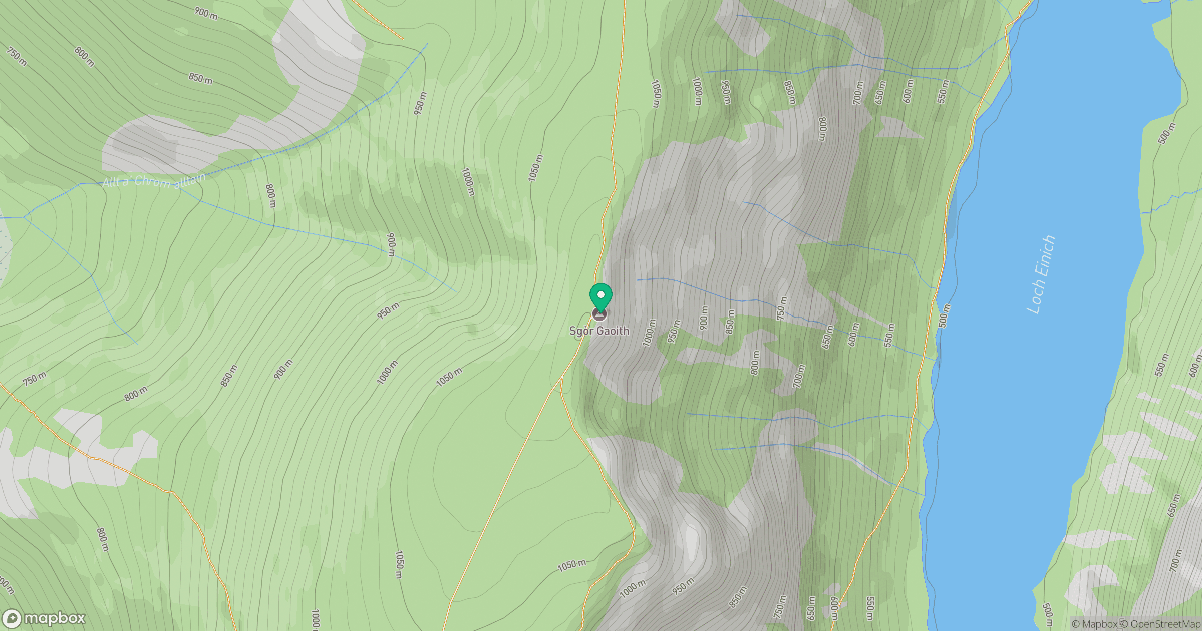
Grid reference: NN903989
View on OpenStreetMapOpens a map in a new tab, centred on the hill.
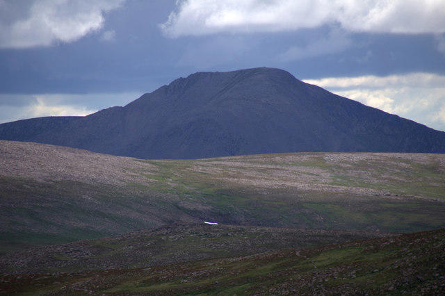
![Ben Macdui [Beinn Macduibh]](https://cdn.walkmates.com/gallery-images/e60cf32aeb394c3282fcdd14a63368f0.jpg)
No comments yet. Be the first.