
Aberlour to Carron Bridge: Speyside Way riverside return
- Distance
- 6.1 mi
- Est. time
- 3h
- Difficulty
- Easy
About this walk
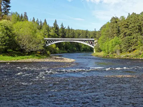
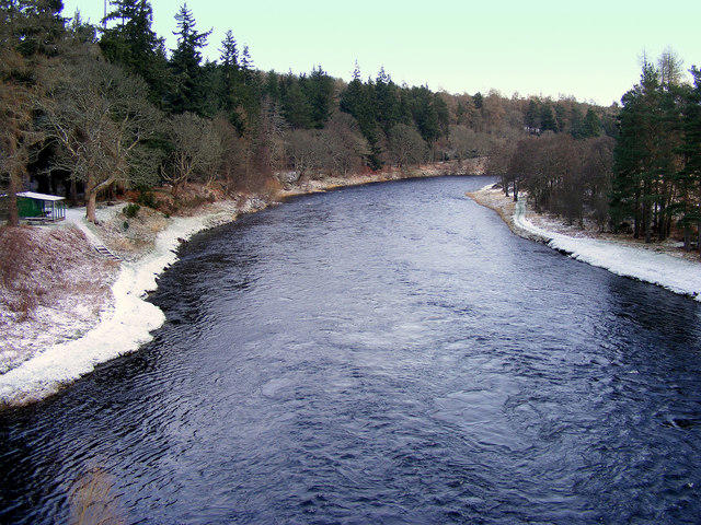
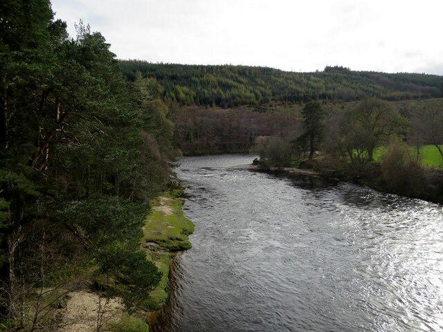
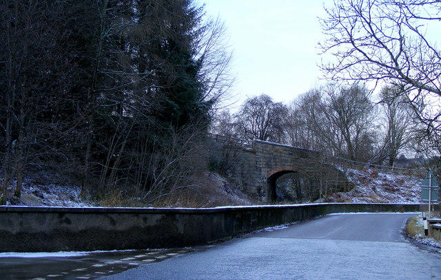
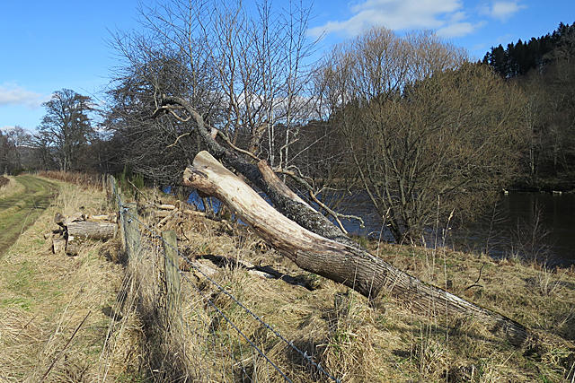
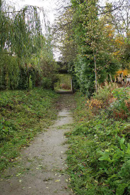
Start at the public car park beside Alice Littler Park and the former Aberlour station. Join the Speyside Way heading southwest for Carron, leaving the village along the old railway beside the River Spey. Cross the small suspension bridge over the Aberlour Burn, then follow the broad railway path through woodland and former railway cuttings, with occasional openings onto the river and farmland.
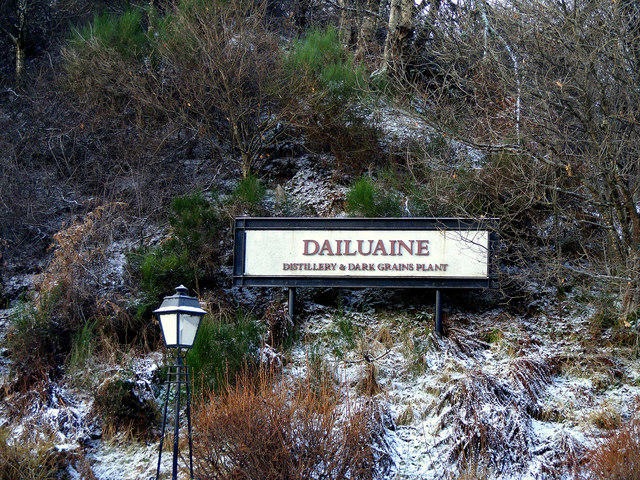
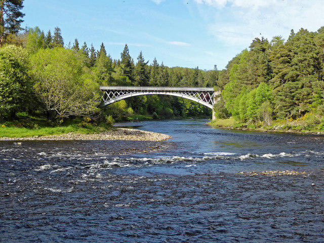
Continue past the old Dailuaine Halt and along the signed path beside the Dailuaine access tracks. The route reaches the eastern approach to Bridge of Carron, where the Spey bends below the village. Turn here before crossing the river and retrace the same path to Aberlour. Allow about three hours for the roughly 10 km return, including short stops.
The route is mostly level on firm gravel and surfaced paths, although leaves and wet patches can make the woodland sections slippery. The Aberlour Burn suspension bridge is limited to five people at a time: wait until there is room and follow the posted instructions. Keep dogs under close control, share the path with cyclists, and watch for vehicles on the short shared access sections near Dailuaine. Stay clear of the river edge and turn back if flooding covers the path.
Aberlour has shops and places to eat near the start. Check the car park signs for current parking conditions. This walk follows the Moray Council upgraded Speyside Way and the official Speyside Way route information; check the operator route news before setting out.
Walk details
- County
- Grampian
- Walk type
- Out & back
- Category
- Canal / Riverside
- Distance
- 6.1 mi (9.9 km)
- Est. time
- 3h
- Explorer
- Yes, off the beaten track
Route map
Use the route details to plan your walk
If the map image does not load, the route description and starting-point details are still on this page.
The interactive map will load when you reach this section.
Where to start
Directions to startWalking on your own?
Start when you're ready and add the walk to your history. No group date needed.
Photos
View all 76 →This walk is waiting for a date
Not ready to pick a date? Follow it and you'll hear when somebody else does.
No commitment. You can follow it now and pick a date later.
More walks nearby
Other routes starting close to this one
Culbin Forest: Hill 99, Gravel Pit Ponds and Dragonfly Pool
Loch Kinord: Muir of Dinnet Woodland Circuit
Aviemore: Loch an Eilein and the Croft Track from Rothiemurchus
Explore more: Walks in Grampian
Joining a walk
A few things to know before you make plans.
Can I join if no one else is going?
You can be the first to join a scheduled walk. A suggested date is an idea for a group walk; choose Set this date up to organise it. Check the participant list and meeting details before setting off.
What if there is no date yet?
Choose Put a date on this walk to organise a group walk. Not ready to choose a day? Follow the route for scheduling updates, or save it for later.
What does the organiser do?
The organiser sets the date and meeting details and helps the group get started. They are a fellow walker and may be new to the route too.
Each walker is responsible for their own safety and navigation. Check the route, weather, equipment and whether the walk suits your experience and fitness.
Can I walk this route on my own?
Yes. Choose Walk this route on your own to open the start screen, then start when you are ready. Finish the walk to add it to your walking history. You do not need a group date.
What happens after I join?
Use the walk page to check meeting details, updates and who is going. Check in from 24 hours before the start to let the group know you still plan to come.
How do I confirm plans with the group?
Check the participant list and check-ins, and message the organiser or other walkers to confirm where to meet and who is coming. This is especially useful when the group is small.
