

Baddoch
Good walks are even better shared.
Overview
Baddoch: The Munro Worth Climbing
Nestled in the heart of the Grampian Mountains, Baddoch stands proudly as a Numro (a mountain over 3,000 feet). With an elevation of 793 meters, it may not be the highest, but it is certainly a sight to behold!
Geology
The geology of Baddoch is fascinating, primarily composed of ancient Schist and Gneiss. These rocks tell a story of the Earth's metamorphic past and provide a rugged beauty that characterises much of the Scottish Highlands.
Routes
A popular route begins at the small parking area at the end of Chris' Public Road in Glen Baddoch. This moderate hike spans approximately 11.5 km and takes around 5 hours. Expect stunning glen views, with the final ascent being a bit rocky – a true testament to why you should wear sturdy boots!
Summit Features
Reaching the summit, you'll find a charming cairn marking the highest point. It’s the perfect place to take a moment, catch your breath and, of course, snap a photo to prove you climbed yet another Munro!
Terrain
The terrain can be described as a delightful mix of rocky outcrops and grassy slopes, though some bits may be a tad boggy, especially after rainfall. To avoid a soggy sock situation, keep an eye on where you step!
Views
The views from Baddoch are simply breathtaking. You’ll be treated to panoramic vistas of the surrounding valleys, with notable peaks such as Ben Avon coming into view. For the best views, aim to hike in the spring or early autumn, when the skies are clearer and the landscape is bursting with colour.
Hazards
As with any hike in Scotland, be cautious of changing weather conditions. Rocky outcrops can be slippery when wet, and the lush greenery often comes with its own unique hazards!
Nearby Summits
If you’re feeling ambitious, consider bagging nearby summits like Ben Avon at 1171 meters or Carn a’Choire Bhoidheach at 1010 meters. They make for excellent companions on your Munro adventure.
Access
Accessing Baddoch is straightforward. From Edzell, head towards the end of Glen Baddoch, where parking is available. Ensure you arrive early to secure a spot!
Facilities
Facilities are limited on the mountain. Make sure to enjoy a hearty meal in Edzell prior to your climb, as you won’t find a coffee shop once you’re on the path!
History
The name 'Baddoch' is believed to have Gaelic origins, though its precise meaning is still debated. However, hiking enthusiasts hold to the belief that it translates to 'beautiful hill', an apt description for this Munro.
With its stunning views, diverse geology, and mild-mannered challenges, Baddoch is a celebrated destination in the Grampians that offers a little something for every hiker. Don’t forget your camera!
Happy hiking!
Explore routes near Baddoch
Public walks starting within 80 km of this hill. Nearby does not mean a route reaches the summit; check its map and access before setting out.
Rothiemurchus: Beaver Trail and Lochan Mor
View route
Aviemore: Loch an Eilein and the Croft Track from Rothiemurchus
View route
Aberlour to Carron Bridge: Speyside Way riverside return
View route
Craigellachie to Aberlour: Speyside Railway Path Return
View route
Route planning notes
These notes describe possible approaches, not verified navigable routes or permission to cross land. Check current paths, local access rules and conditions before setting out.
Baddoch via Glen Baddoch
A scenic route that winds through lush glens and offers stunning views of the surrounding highlands.
Make a day of it, together
Find someone to share the walk with, or organise a day out along a route you like.
Photo Gallery
View all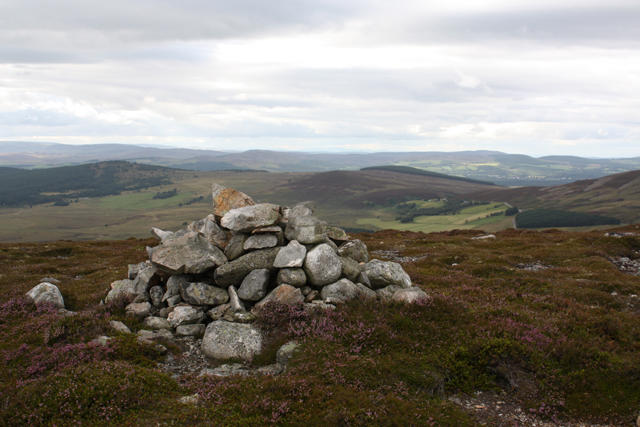 Photo could not load
NJ0719 : Cairn, Baddoch
Dorothy Carse
Hill facts and local notes
Classifications
Elevation
568m
1,864 ft
Prominence
134m
Coordinates
57.2529, -3.5296
NJ078190
OS Map
36
Explorer: OL58N OL61S 404N 419S
At the Summit
The summit boasts a prominent cairn that is a traditional sight for Munro baggers and offers a perfect resting spot for some summit selfies.
Terrain & Geology
Baddoch is primarily composed of ancient Schist and Gneiss, typical of the region's complex geological history, offering a glimpse into the metamorphic processes that shaped the Scottish Highlands.
Views & Scenery
From the summit, you can enjoy sweeping views of the surrounding valleys and peaks, including the majestic Ben Avon and the Aberdeenshire countryside.
History & Heritage
Name Origin
The name 'Baddoch' is derived from Scots Gaelic, though the exact meaning is shrouded in mystery; it might just mean 'beautiful hill'!
Historical Significance
Baddoch forms part of the traditional Munro lists, representing not just a hiking challenge but a cultural icon for outdoor enthusiasts in Scotland.
Getting There & Facilities
Check current local access restrictions, parking rules and transport timetables before travelling. These notes do not confirm public access to the summit.
Parking
There is a small parking area at the end of the public road at the start of Glen Baddoch, space is limited so arrive early!
Public Transport
Limited public transport is available from the nearest town to Baddoch; consider carpooling or checking local service availability.
Nearby Facilities
Cafes and public toilets can be found in Edzell; be sure to fuel up before your hike as facilities on the hill are non-existent!
Safety Information
Known Hazards
- Rocky outcrops may be slippery when wet; typical Scottish drizzle can turn the path into a real mudfest.
General Safety Tips
- Check weather conditions before setting out
- Carry appropriate clothing and equipment
- Let someone know your planned route
- Take a map, compass, and GPS device
- Carry emergency supplies: food, water, first aid kit, torch
Hills
Some common questions about the hills answered
Are there group walks up Baddoch?
Many walkers use Walkmates to join or organise walks with others. You can check for group walks around Baddoch through the maps
Are there other walkers around Baddoch?
Activity varies by location and time, but Walkmates lets you see whether others have shared walks or shown interest in this area. Find other people through the walking friends search walking friends for Baddoch search or of course create your own walk for Baddoch
Can I organise a walk to Baddoch?
Yes. If there aren’t any walks listed already, you can create a walk and make it available for others to join.
If you're signed up to Walkmates, you can create a walk to Baddoch.
How do I find a walk up this hill?
There are often multiple ways to walk this hill, depending on experience and route preference. Walkmates helps you explore walks and routes that others have shared.
Can I suggest a new route up Baddoch?
Yes. You can suggest or create routes to share with others. Walkmates focuses on the social side of walking, so routes are used to help people organise walks and explore areas together, rather than as detailed navigation tools or route libraries.
Other uses really appreciate knowledgeable walkers sharing their routes. Share your favourite route to Baddoch here
The is an error or something incorrect about this hill. How do I let you know?
We always strive to keep the information on Walkmates as accurate as possible. If you find an error, please let us know through the contact form and we'll aim to correct it as quickly as possible
Community Discussion
Comments
Location
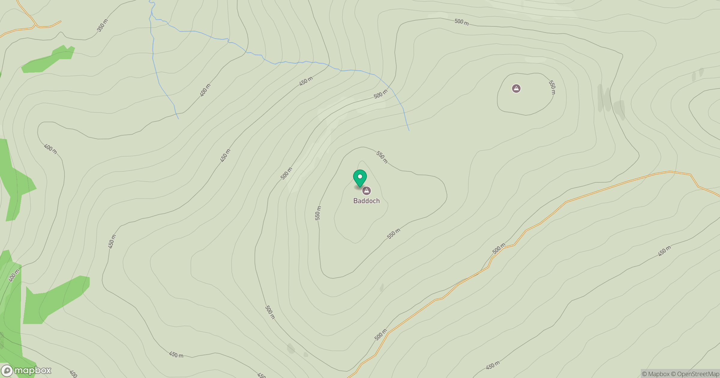
Grid reference: NJ078190
View on OpenStreetMapOpens a map in a new tab, centred on the hill.
Hills within 30 km
Straight-line distance, not a walking route or confirmation of access.
Bynack More
1,090m
Beinn Mheadhoin
1,183m
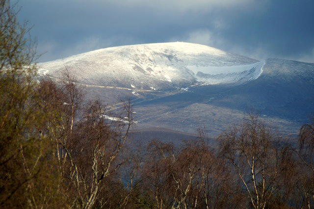
Cairn Gorm
1,245m
Ben Avon - Leabaidh an Daimh Bhuidhe
1,172m
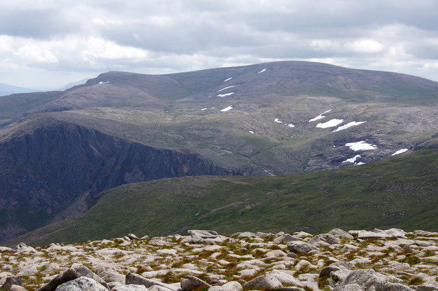
Ben Macdui [Beinn Macduibh]
1,309m
No comments yet. Be the first.