

Carn Mhic an Toisich
Good walks are even better shared.
Overview
Carn Mhic an Toisich
Overview
Carn Mhic an Toisich is a splendid Munro nestled in the heart of the Scottish Highlands, gaining elevation swiftly to touch the clouds with its 914 meters. What it lacks in massive prominence, it certainly compensates with exhilarating views and a sense of wilderness that every hiker craves.
Geology
This majestic mountain is primarily granite with unique features of schist and gneiss that have made their way into the rocks over millennia, a testament to the dynamic geological history of the region. Just don’t try to take home a piece; Mother Nature has a way of frowning upon rock theft!
Routes
Two primary routes provide access to the summit:
- North West Ridge Route (10 km, 4 hours, Moderate): This route offers a gentle ascent, ideal for those who prefer to savour the views.
- East Route via Coire na Cloiche (8 km, 3.5 hours, Challenging): A more adventurous option, this route presents some rocky challenges that will get your heart racing in all the right ways.
Summit Features
On reaching the summit, hikers are greeted with a sizable cairn – perfect for a triumphant photo op. A wooden post marks the highest point, welcoming all visitors to this glorious peak.
Terrain
Expect a delightful mix of rocky paths and grassy stretches, along with some bogs to test your footwork. Wellies, anyone?
Views
The view from the top is nothing short of spectacular! Loch Affric glistens below, framed by rolling hills and distant peaks of the Northern Highlands. The best times to enjoy these sights are in spring and autumn when the weather tends to cooperate and colours are most vibrant.
Hazards
Hikers should be mindful of the weather, which can change as quickly as a fox on the run. Also, watch your step on rocky sections, especially after a bit of rain. No one wants a slip-up that ends in more than just limp jokes!
Nearby Summits
If you're on a mountain bagging spree, Mullach na Dheiragain (916 m) and Sgurr na Lapaich (999 m) are just a stone's throw away and well worth the effort.
Access
Nearest Parking: The Glen Affric car park (NH260152) is the best place to start your journey, with ample parking and a great atmosphere.
Public Transport: Check local bus schedules from Inverness to Cannich; services can be a bit sparse at times.
Nearest Town: Cannich, with its quaint charm and essential amenities, is a welcome sight before or after your adventure.
Facilities
While the Cannich Store can provide snacks and drinks, there are few facilities in the vicinity. Toilets are available at the Glen Affric car park, so plan your stops accordingly!
History
The name 'Carn Mhic an Toisich' gives a nod to local lore, meaning 'Hill of the Son of the Priest'. Its cultural significance as a habitat for local wildlife and a getaway for adventurous hikers enhances its allure.
Happy hiking, and remember: the only thing that should be more elevated than your spirits is the mountain itself!
Explore routes near Carn Mhic an Toisich
Public walks starting within 80 km of this hill. Nearby does not mean a route reaches the summit; check its map and access before setting out.
Glen Affric: Coire Loch Woodland Trail
View route
Fort Augustus to Kytra Lock: Caledonian Canal Towpath
View route
Great Glen Way low route: Fort Augustus to Invermoriston Old Bridge
View route
Loch Affric full circuit from River Affric
View route
Route planning notes
These notes describe possible approaches, not verified navigable routes or permission to cross land. Check current paths, local access rules and conditions before setting out.
North West Ridge Route
A gradual ascent from Glen Affric, this route provides a steady incline and stunning views along the way.
East Route via Coire na Cloiche
This route offers a more direct approach and includes some rocky sections that require caution, rewarding hikers with exhilarating views.
Make a day of it, together
Find someone to share the walk with, or organise a day out along a route you like.
Photo Gallery
View all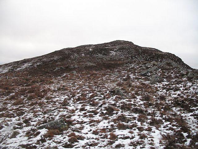 Photo could not load
NH3118 : Carn Mhic an Toisich
Richard Webb
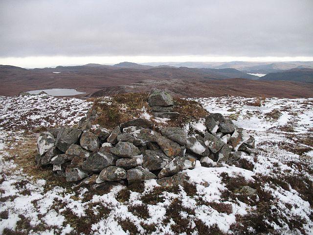 Photo could not load
NH3118 : Carn Mhic an Toisich
Richard Webb
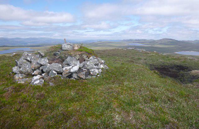 Photo could not load
NH3118 : Summit of Carn Mhic an Toisich
Craig Wallace
Hill facts and local notes
Classifications
Elevation
678m
2,225 ft
Prominence
176m
Coordinates
57.2267, -4.8002
NH310185
OS Map
34
Explorer: 415
At the Summit
The summit is marked by a large stone cairn, perfect for those all-important summit selfies. There is also a small wooden post indicating the highest point, adding a quaint touch to your hike.
Terrain & Geology
Carn Mhic an Toisich is primarily composed of granite, with some areas featuring schist and gneiss. This geological diversity offers a glimpse into the complex processes that shaped the Highlands over millions of years.
Views & Scenery
In clear weather, expect to see the stunning Loch Affric, the distant peaks of the Northern Highlands, and the expansive rolling hills below, creating a picturesque panorama.
History & Heritage
Name Origin
The name 'Carn Mhic an Toisich' translates to 'Hill of the Son of the Priest', steeped in local legend and history.
Historical Significance
The mountain is a notable destination for both hikers and local wildlife enthusiasts, often serving as a habitat for various birds and mammals.
Getting There & Facilities
Check current local access restrictions, parking rules and transport timetables before travelling. These notes do not confirm public access to the summit.
Parking
The closest parking area is located at the Glen Affric car park, NH260152. It provides ample space for vehicles and is a popular starting point for several walks in the area.
Public Transport
Buses run from Inverness to Cannich, but check local timetables as service frequency varies, especially in winter.
Nearby Facilities
Nearby cafes are few and far between; however, the Cannich Store does offer some essentials and snacks. Public toilets can be found at the Glen Affric car park.
Safety Information
Known Hazards
- Sudden weather changes can occur in the Highlands, bringing rain and high winds. There are also some rocky areas that may be slippery.
General Safety Tips
- Check weather conditions before setting out
- Carry appropriate clothing and equipment
- Let someone know your planned route
- Take a map, compass, and GPS device
- Carry emergency supplies: food, water, first aid kit, torch
Hills
Some common questions about the hills answered
Are there group walks up Carn Mhic an Toisich?
Many walkers use Walkmates to join or organise walks with others. You can check for group walks around Carn Mhic an Toisich through the maps
Are there other walkers around Carn Mhic an Toisich?
Activity varies by location and time, but Walkmates lets you see whether others have shared walks or shown interest in this area. Find other people through the walking friends search walking friends for Carn Mhic an Toisich search or of course create your own walk for Carn Mhic an Toisich
Can I organise a walk to Carn Mhic an Toisich?
Yes. If there aren’t any walks listed already, you can create a walk and make it available for others to join.
If you're signed up to Walkmates, you can create a walk to Carn Mhic an Toisich.
How do I find a walk up this hill?
There are often multiple ways to walk this hill, depending on experience and route preference. Walkmates helps you explore walks and routes that others have shared.
Can I suggest a new route up Carn Mhic an Toisich?
Yes. You can suggest or create routes to share with others. Walkmates focuses on the social side of walking, so routes are used to help people organise walks and explore areas together, rather than as detailed navigation tools or route libraries.
Other uses really appreciate knowledgeable walkers sharing their routes. Share your favourite route to Carn Mhic an Toisich here
The is an error or something incorrect about this hill. How do I let you know?
We always strive to keep the information on Walkmates as accurate as possible. If you find an error, please let us know through the contact form and we'll aim to correct it as quickly as possible
Community Discussion
Comments
Location
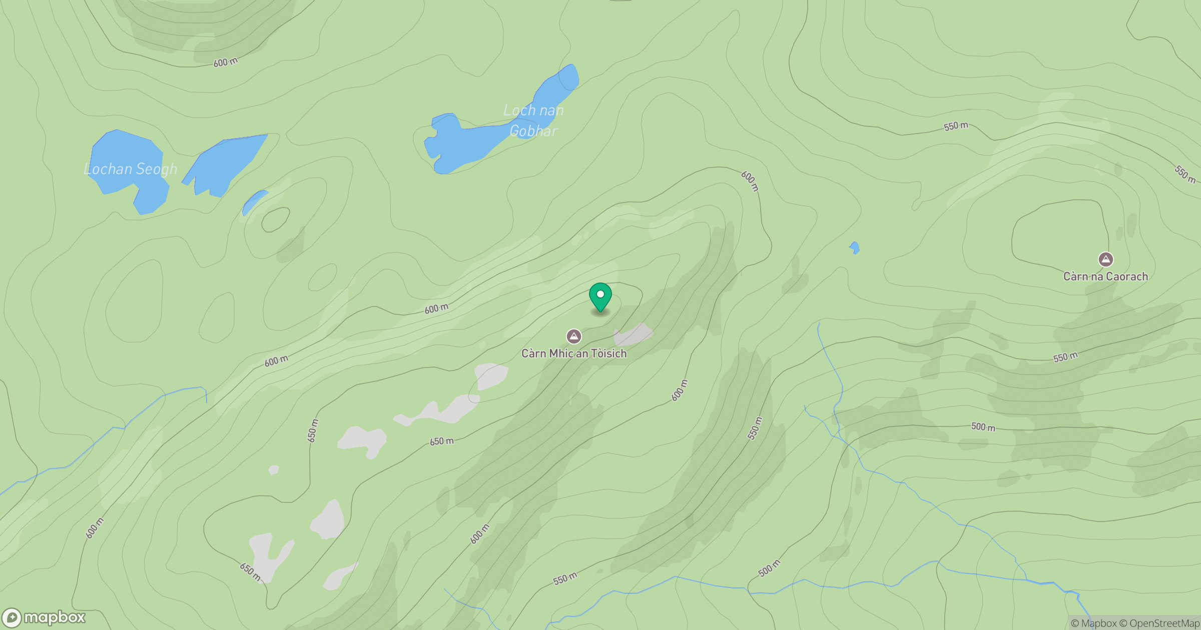
Grid reference: NH310185
View on OpenStreetMapOpens a map in a new tab, centred on the hill.
Hills within 30 km
Straight-line distance, not a walking route or confirmation of access.
Sgurr a' Choire Ghlais
1,084m
Beinn Mheadhoin
541m
Carn Eighe
1,183m
Mam Sodhail
1,179m
Carn a' Choire Leith
647m
No comments yet. Be the first.