
Carn Dearg
Good walks are even better shared.
Overview
Carn Dearg
Nestled in the heart of the Scottish Highlands, Carn Dearg stands as a proud Munro towering at 1025 meters. The adventure begins at the Inchree car park, providing a convenient launch point for your ascent.
Geology
As a mountain crafted by the forces of nature over millennia, Carn Dearg is predominantly composed of granite and schist. The evidence of ancient glacial activity is visible throughout the terrain, featuring striking formations and loose rocky outcrops. Ideal for geology enthusiasts and those simply keen on marvelling at Scotland's rugged beauty!
Routes
There are a couple of popular routes to tackle this esteemed Munro. The Carn Dearg from Inchree route is particularly beloved, taking approximately 4.5 hours to navigate the 9.2km distance. It’s graded as moderate and takes you through enchanting woodlands before unveiling the stunning vistas that await.
Alternatively, for those seeking a bit more adventure, the Route via Ben Nevis adds additional challenge, spanning 13.5km and finishing in about 6 hours. Expect the unexpected with this one, especially when glory beacons from Ben Nevis.
Summit Features
On reaching the summit, hikers are met with a large granite cairn, a physical and metaphorical marker of achievement. You might feel a sense of camaraderie with fellow hikers here, all captured in joyous selfies against the backdrop of the sprawling Highland vista.
Terrain Type
The terrain of Carn Dearg offers variety; a mix of rocky outcrops and grassy paths, interspersed with sections that could cause slight trouble — think wobbly ankles and boggy patches that are more akin to Scottish marshland than a clear path.
Views
Once atop, prepare to be dazzled. Ben Nevis proudly emerges in sight, as does Loch Leven, while the Great Glen extends far and wide. Best views are often from late spring to early autumn, though be ready to enjoy the occasional Highland sheep stare-down as they ponder your presence on their turf.
Hazards
Hiking Carn Dearg comes with its fair share of adventure; however, the unpredictable Highland weather can turn quickly. Always pack layers, and keep that windproof jacket at the ready. The terrain poses its own risks, so do tread carefully on the rocky paths — we suggest not testing your balance too much!
Nearby Summits
If you care to extend your hiking exploits, consider nearby summits like Ben Nevis and Sgurr a' Mhaoraich for additional breathtaking views and hiking opportunities.
Access
With Fort William just a stone's throw away, and public transport making regular rounds, access to Carn Dearg is quite straightforward. The nearby Inchree car park accommodates a good number of vehicles, making it accessible for everyone keen to take on this iconic peak.
Facilities
After conquering the heights, don’t forget to indulge in the local cafes and shops in Fort William, where a slice of cake could be just what you need!
Conclusion
Whether you're a seasoned hillwalker or a novice keen to tick a Munro off your list, Carn Dearg provides stunning views, invigorating routes, and the promise of adventure!
Last Updated: 2023-10-01
Source: Ordnance Survey
Explore routes near Carn Dearg
Walks starting near this hill. Open a route to check its map, distance and full itinerary.
Ben Nevis via Mountain Path
View route
Banavie to Glen Loy Aqueduct: Neptune’s Staircase Canal Towpath
View route
Fort Augustus to Kytra Lock: Caledonian Canal Towpath
View route
Killin: Falls of Dochart, Finlarig and Moirlanich Longhouse
View route
Route planning notes
These notes describe possible approaches. Check a route's map and access information when planning your walk.
Carn Dearg from Inchree
A popular route starting from Inchree, this trail takes you through scenic woodlands and opens up to breathtaking views as you ascend towards the summit.
Route via Ben Nevis
A challenging variant incorporating parts of the ascent to nearby Ben Nevis, this route rewards hikers with panoramic vistas of the surrounding Highlands.
Make a day of it, together
Find someone to share the walk with, or organise a day out along a route you like.
Hill facts and local notes
Classifications
Elevation
655m
2,148 ft
Prominence
20m
Coordinates
56.7550, -4.8326
NN269661
OS Map
41
Explorer: 392
At the Summit
The summit features a sizable granite cairn marking the highest point, offering a fantastic vantage spot for those ready to pose for that Instagram-worthy selfie.
Terrain & Geology
Carn Dearg is primarily composed of granite and schist, showcasing a striking geological history formed during the Caledonian Orogeny. The rugged landscape offers insights into glacial processes as well.
Views & Scenery
From the summit, one can marvel at views of Ben Nevis, Loch Leven, and the vast expanse of the Great Glen. Watch out for sheep surely plotting their next move.
History & Heritage
Name Origin
The name 'Carn Dearg' translates to 'Red Hill' in Gaelic, likely referring to the distinctive reddish hue of the rocky summit.
Historical Significance
Carn Dearg holds great cultural significance, being part of the traditional lands of the Scottish Highland clans.
Getting There & Facilities
Parking
Parking is available at the Inchree car park, approximately a 20-minute drive from Fort William, with ample space for vehicles.
Public Transport
Local buses from Fort William run regularly, making it accessible for those without wheels.
Nearby Facilities
Several cafes and shops are available in Fort William, including public toilets. Be sure to grab a slice of cake after your trek!
Safety Information
Known Hazards
- Be mindful of sudden weather changes; the Scottish Highlands can be notoriously fickle. Also, watch your step, as loose rocks and slippery paths can lead to unceremonious tumbles.
General Safety Tips
- Check weather conditions before setting out
- Carry appropriate clothing and equipment
- Let someone know your planned route
- Take a map, compass, and GPS device
- Carry emergency supplies: food, water, first aid kit, torch
Hills
Some common questions about the hills answered
Are there group walks up Carn Dearg?
Many walkers use Walkmates to join or organise walks with others. You can check for group walks around Carn Dearg through the maps
Are there other walkers around Carn Dearg?
Activity varies by location and time, but Walkmates lets you see whether others have shared walks or shown interest in this area. Find other people through the walking friends search walking friends for Carn Dearg search or of course create your own walk for Carn Dearg
Can I organise a walk to Carn Dearg?
Yes. If there aren’t any walks listed already, you can create a walk and make it available for others to join.
If you're signed up to Walkmates, you can create a walk to Carn Dearg.
How do I find a walk up this hill?
There are often multiple ways to walk this hill, depending on experience and route preference. Walkmates helps you explore walks and routes that others have shared.
Can I suggest a new route up Carn Dearg?
Yes. You can suggest or create routes to share with others. Walkmates focuses on the social side of walking, so routes are used to help people organise walks and explore areas together, rather than as detailed navigation tools or route libraries.
Other uses really appreciate knowledgeable walkers sharing their routes. Share your favourite route to Carn Dearg here
The is an error or something incorrect about this hill. How do I let you know?
We always strive to keep the information on Walkmates as accurate as possible. If you find an error, please let us know through the contact form and we'll aim to correct it as quickly as possible
Community Discussion
Comments
Location
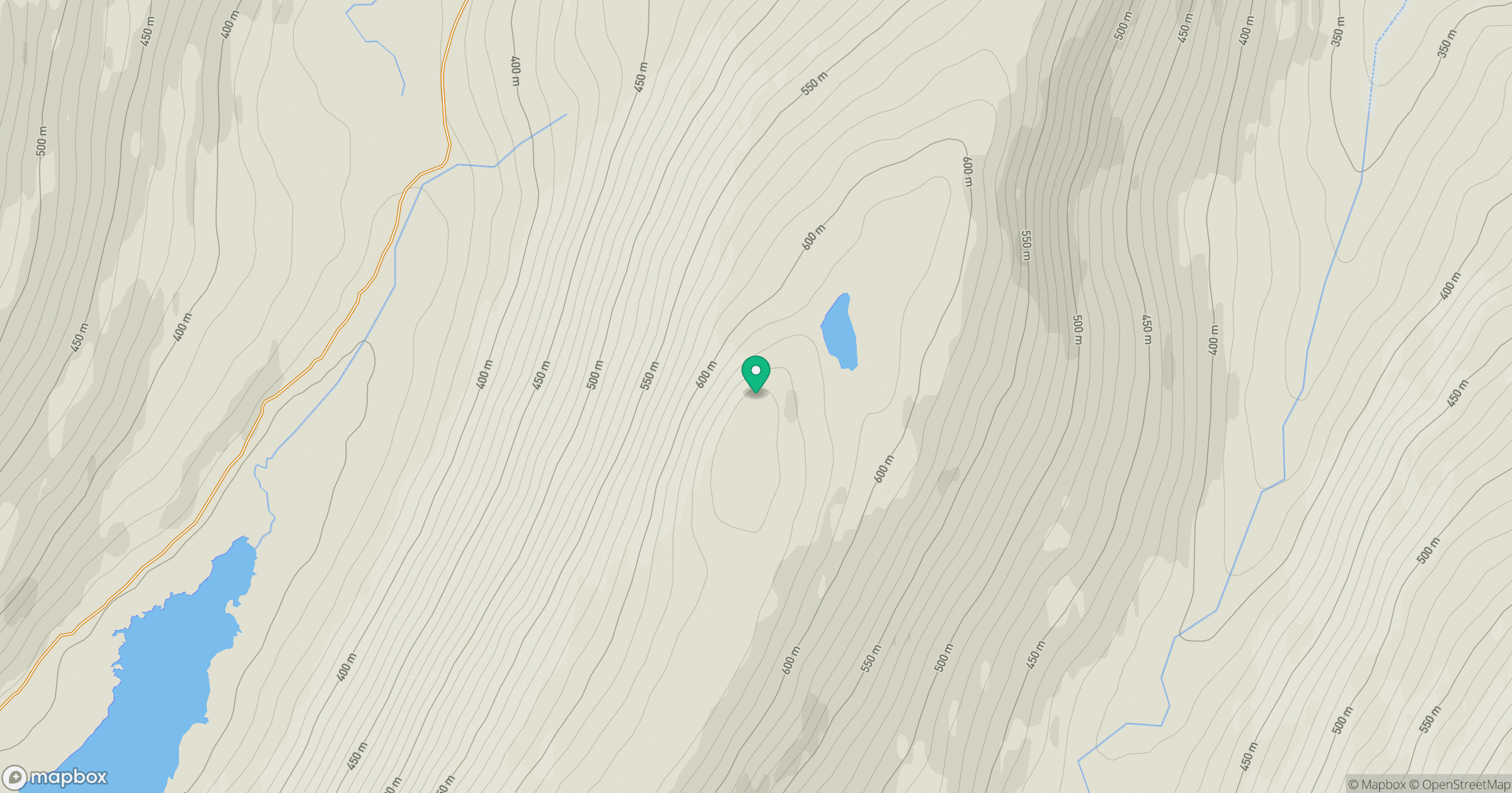
Grid reference: NN269661
View on OpenStreetMapOpens a map in a new tab, centred on the hill.
No comments yet. Be the first.