
Calton Hill
Good walks are even better shared.
Overview
Calton Hill: An Urban Gem
Nestled in the heart of Edinburgh, Calton Hill rises to an elevation of 103 meters, offering unparalleled views of Scotland's capital. A delightful jaunt up the Calton Hill Path, stretching about 1.2 km, is all it takes to reach the summit where your efforts are rewarded with sweeping panoramas.
Geology
Calton Hill is a remnant from an ancient volcanic landscape, showcasing fascinating geological features. The hill, primarily composed of volcanic rock, is a testament to the explosive history of this region. The crags and slopes evidence the powerful forces that sculpted the earth millions of years ago.
Routes and Accessibility
The main route to the top is straightforward and suitable for all abilities. Starting from the east side, the Calton Hill Path is well-paved and offers benches for those who might need a breather. Parking is available not far from the hill, although you'll need to feed the meter! For those opting for public transport, buses and trams frequently journey to nearby stops.
Summit Features
Reaching the summit reveals striking features, including the Nelson Monument, which stands tall and proud, like a sailor who's just spotted land! Of equal interest is the Dugald Stewart Monument, resembling a miniature Parthenon and providing a perfect backdrop for that selfie.
Views
The panoramic vista is truly something to write home about. Marvel at Edinburgh Castle perched dramatically atop Castle Rock, take in the charming cobbled streets of the Old Town, or gaze over the Firth of Forth to the distant Highlands. Best of all, the views tend to be at their best in spring and autumn, when nature struts its stuff in a blaze of colour.
Hazards
While Calton Hill is an accessible outdoor space, do watch your step, especially after rain—the paths can be slipperier than a greased weasel! Also, be mindful of the steep areas as you enjoy your ascent.
Nearby Summits
If you're feeling particularly adventurous, nearby Arthur's Seat and Blackford Hill offer their own hiking opportunities, each with its unique vistas and flavours.
Facilities
Not to worry! There are cafes breathing life into the base of the hill, offering refreshments for your journey. Public toilets are conveniently available near the entrance, just in case you miscalculated your pre-hike hydration!
Conclusion
Calton Hill may be a small hill in the grand scheme of Scotland's landscapes, but it packs a punch with its historical significance and stunning views. Whether you're a seasoned hiker or a casual walker, it's a must-visit when in Edinburgh. Just remember to take it easy on the way up—stumbling over your own feet is not the kind of souvenir you want to take home!
Happy hiking!
Explore routes near Calton Hill
Walks starting near this hill. Open a route to check its map, distance and full itinerary.
Goatfell from Cladach
View route
Portballintrae to Giant's Causeway: railway path and Blue Trail return
View route
Bishop’s Glen group walk
View route
West Bay walk and talk
View route
Route planning notes
These notes describe possible approaches. Check a route's map and access information when planning your walk.
Calton Hill Path
A well-maintained path that winds its way up the hill from the east, offering stunning views as you ascend.
Make a day of it, together
Find someone to share the walk with, or organise a day out along a route you like.
Hill facts and local notes
Classifications
Elevation
63m
207 ft
Prominence
43m
Coordinates
55.4317, -5.6250
NR707212
OS Map
68
Explorer: 356S
At the Summit
At the summit, you'll find the iconic Nelson Monument, a few intriguing ruins of historical significance, and the Dugald Stewart Monument, a tribute to the Scottish philosopher.
Terrain & Geology
Calton Hill is primarily composed of volcanic rock from the ancient Arthur's Seat volcanic system, showcasing fascinating geological formations including crags and slopes that tell a tale of volcanic activity dating back millions of years.
Views & Scenery
From the summit, enjoy breathtaking views over Edinburgh, including the Old Town, the Castle, and the Firth of Forth. On a clear day, the Highlands make a stunning backdrop.
History & Heritage
Name Origin
The name 'Calton' is believed to derive from the old Scots term for 'a stony place'.
Historical Significance
Calton Hill has been a gathering place since the Stone Age, and today it serves as an important cultural and historical site, featuring several monuments and representing the spirit of Edinburgh.
Getting There & Facilities
Parking
Metered parking available at various locations around the foot of the hill in the city centre.
Public Transport
Several bus routes operate nearby, including routes 1, 3, 7, and 8. The closest tram stop is St Andrew Square.
Nearby Facilities
There are several cafes in the vicinity of the hill, including the popular Calton Hill Cafe, as well as public toilets near the entrance.
Safety Information
Known Hazards
- Slippery paths after rain and potential for steep areas, though generally well maintained.
General Safety Tips
- Check weather conditions before setting out
- Carry appropriate clothing and equipment
- Let someone know your planned route
- Take a map, compass, and GPS device
- Carry emergency supplies: food, water, first aid kit, torch
Hills
Some common questions about the hills answered
Are there group walks up Calton Hill?
Many walkers use Walkmates to join or organise walks with others. You can check for group walks around Calton Hill through the maps
Are there other walkers around Calton Hill?
Activity varies by location and time, but Walkmates lets you see whether others have shared walks or shown interest in this area. Find other people through the walking friends search walking friends for Calton Hill search or of course create your own walk for Calton Hill
Can I organise a walk to Calton Hill?
Yes. If there aren’t any walks listed already, you can create a walk and make it available for others to join.
If you're signed up to Walkmates, you can create a walk to Calton Hill.
How do I find a walk up this hill?
There are often multiple ways to walk this hill, depending on experience and route preference. Walkmates helps you explore walks and routes that others have shared.
Can I suggest a new route up Calton Hill?
Yes. You can suggest or create routes to share with others. Walkmates focuses on the social side of walking, so routes are used to help people organise walks and explore areas together, rather than as detailed navigation tools or route libraries.
Other uses really appreciate knowledgeable walkers sharing their routes. Share your favourite route to Calton Hill here
The is an error or something incorrect about this hill. How do I let you know?
We always strive to keep the information on Walkmates as accurate as possible. If you find an error, please let us know through the contact form and we'll aim to correct it as quickly as possible
Community Discussion
Comments
Location
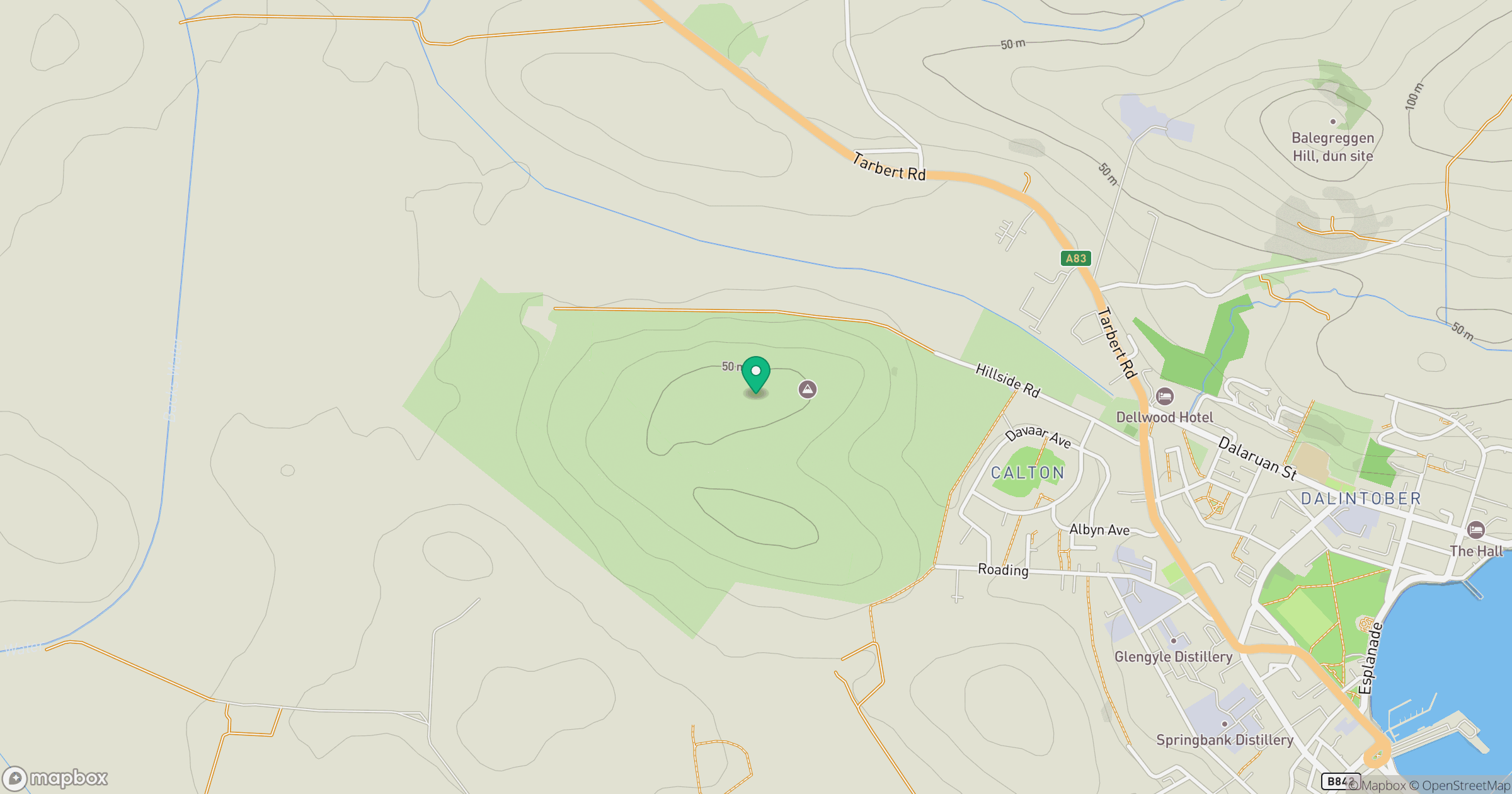
Grid reference: NR707212
View on OpenStreetMapOpens a map in a new tab, centred on the hill.
No comments yet. Be the first.