

Botley Hill (boundary)
Good walks are even better shared.
TQ4056 : Footpath through a field of beans
Robin Webster Photo source
Overview
Botley Hill (boundary)
Overview
Botley Hill is a delightful Marilyn standing at 155 meters above sea level, nestled within the stunning Surrey Hills. This hill offers not just a stroll but a glimpse into the natural beauty that the region has to offer.
Geology
The intriguing geology of Botley Hill is primarily composed of sandstone and clay, which has shaped the landscapes and habitats we see today. These formations have played a crucial part in supporting diverse flora and fauna, making it a hotspot for nature lovers.
Routes
One of the most popular routes is the Botley Hill Circular Walk, a moderate 6 km trek that loops around the hill. This route provides an excellent opportunity to enjoy both woodlands and open fields, promising stunning panoramas and an invigorating dose of fresh air.
Summit Features
Upon reaching the summit, you’ll find a trig point that marks the highest point, offering an excellent spot for photographs and perhaps a cheeky picnic. Don’t be surprised if you feel like the king or queen of the hill up here!
Terrain Type
Expect a friendly mix of wooded paths and grassy knolls, sprinkled with some rocky outcrops. Perfect for those who appreciate a little variety underfoot!
Views
From the top, the views are nothing short of spectacular. You can expect highlights including the North Downs and, on particularly clear days, even the glint of London skyline in the distance. The best seasons to hike here are spring and autumn when the foliage colours are particularly vibrant, guaranteeing a feast for the eyes.
Hazards
As always, with a pleasure comes a pinch of caution! Be mindful of muddy paths, especially following a good rain; they can turn from good fun to slip-and-slide moments very quickly.
Nearby Summits
Just a short distance away, you can explore nearby summits like Tatsfield Knoll, at an elevation of 143 meters, allowing for a little more navigating while you're in the neighbourhood.
Access
Nearest Parking
Easily accessible from the Botley Hill car park at TQ405563, it offers spacious parking and serves as the ideal starting point for your adventure.
Public Transport
Buses from surrounding towns such as Oxted and Warlingham make reaching this gem accessible; a quick stroll from the bus stop will get you to the trails.
Nearest Town
The closest town to head for snacks or a pint post-hike is Warlingham.
Facilities
Nearby facilities include a charming café, ready to offer you warmth and refreshments after your trek. Plus, parking conveniences include restrooms, so there's no need to cut your adventure short.
History
The name 'Botley' has its roots in Old English, meaning 'Botla's ley', referring to a clearing owned by a person named Botla. Historically, this area has been significant for its natural resources, serving local communities for generations.
Enjoy your adventure at Botley Hill and remember to pack a camera—you won't want to miss capturing those views! Wishing you happy and safe hiking!
Explore routes near Botley Hill (boundary)
Walks starting near this hill. Open a route to check its map, distance and full itinerary.
Coulsdon Walk with Men Walking & Talking
View route
Knole Park Broad Walk and Chestnut Walk Circuit
View route
Lullingstone Country Park: Beechen Wood and valley views
View route
Reigate Hill B-17 Crash Site and Colley Hill
View route
Route planning notes
These notes describe possible approaches. Check a route's map and access information when planning your walk.
Botley Hill Circular Walk
A scenic circular route starting from the nearby car park, weaving through woodlands and offering stunning views.
Make a day of it, together
Find someone to share the walk with, or organise a day out along a route you like.
Photo Gallery
View all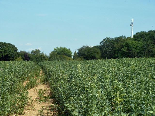 Photo could not load
TQ4056 : Footpath through a field of beans
Robin Webster
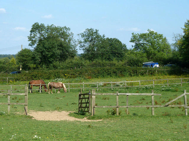 Photo could not load
TQ4056 : Horse paddocks, Tatsfield
Robin Webster
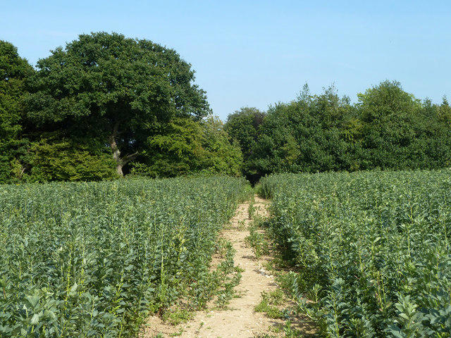 Photo could not load
TQ4056 : Footpath through a field of beans
Robin Webster
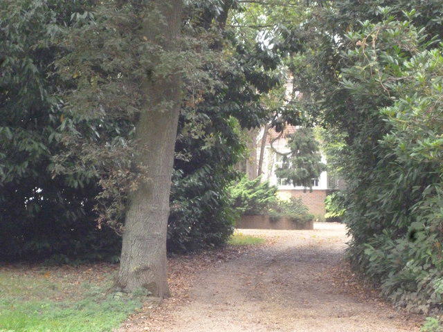 Photo could not load
TQ4056 : Titsey: Waylands
Dr Neil Clifton
Hill facts and local notes
Classifications
Elevation
255m
837 ft
Prominence
0m
Coordinates
51.2876, 0.0163
TQ407562
OS Map
187
Explorer: 147
At the Summit
The summit features a trig point, a perfect place to strike a pose or test your balance on a sunny day.
Terrain & Geology
The area is predominantly composed of sandstone and clay, contributing to its unique ecosystems and scenic landscape.
Views & Scenery
On a clear day, you can see as far as the North Downs and even glimpse the sprawling city of London to the north.
History & Heritage
Name Origin
Botley is derived from 'Botla's ley', which means a clearing of land owned by a person named Botla.
Historical Significance
The area has historical relevance, once being part of ancient woodlands and providing resources for local communities.
Getting There & Facilities
Parking
Botley Hill car park located at TQ405563 provides ample space and is easily accessible.
Public Transport
Buses from nearby towns (such as Oxted and Warlingham) service the area, with a short walk to the starting point.
Nearby Facilities
A quaint café is located nearby, perfect for a post-hike cuppa, along with restrooms available at the parking area.
Safety Information
Known Hazards
- Watch out for slippery paths, especially after rain. Some areas may be prone to mud.
General Safety Tips
- Check weather conditions before setting out
- Carry appropriate clothing and equipment
- Let someone know your planned route
- Take a map, compass, and GPS device
- Carry emergency supplies: food, water, first aid kit, torch
Hills
Some common questions about the hills answered
Are there group walks up Botley Hill (boundary)?
Many walkers use Walkmates to join or organise walks with others. You can check for group walks around Botley Hill (boundary) through the maps
Are there other walkers around Botley Hill (boundary)?
Activity varies by location and time, but Walkmates lets you see whether others have shared walks or shown interest in this area. Find other people through the walking friends search walking friends for Botley Hill (boundary) search or of course create your own walk for Botley Hill (boundary)
Can I organise a walk to Botley Hill (boundary)?
Yes. If there aren’t any walks listed already, you can create a walk and make it available for others to join.
If you're signed up to Walkmates, you can create a walk to Botley Hill (boundary).
How do I find a walk up this hill?
There are often multiple ways to walk this hill, depending on experience and route preference. Walkmates helps you explore walks and routes that others have shared.
Can I suggest a new route up Botley Hill (boundary)?
Yes. You can suggest or create routes to share with others. Walkmates focuses on the social side of walking, so routes are used to help people organise walks and explore areas together, rather than as detailed navigation tools or route libraries.
Other uses really appreciate knowledgeable walkers sharing their routes. Share your favourite route to Botley Hill (boundary) here
The is an error or something incorrect about this hill. How do I let you know?
We always strive to keep the information on Walkmates as accurate as possible. If you find an error, please let us know through the contact form and we'll aim to correct it as quickly as possible
Community Discussion
Comments
Location
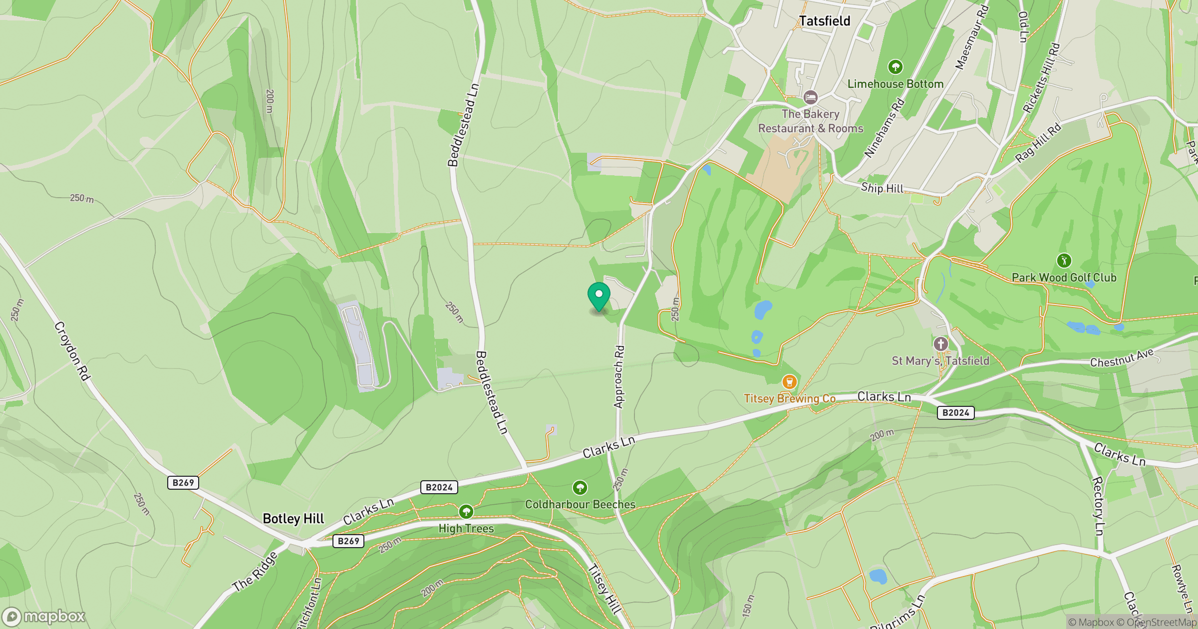
Grid reference: TQ407562
View on OpenStreetMapOpens a map in a new tab, centred on the hill.
No comments yet. Be the first.