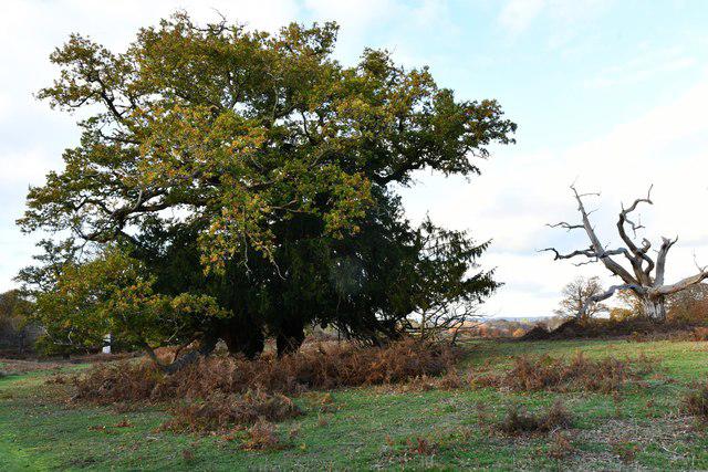
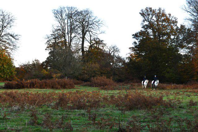
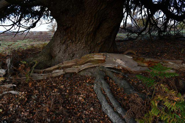
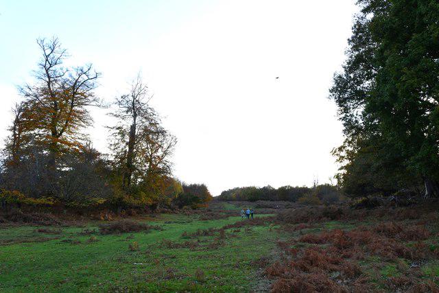
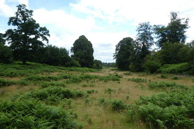
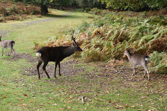
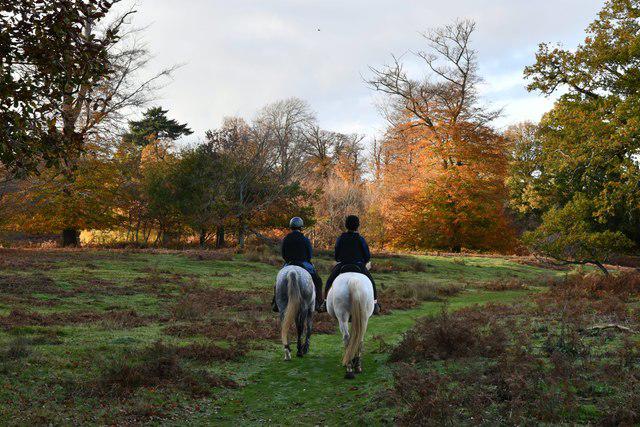
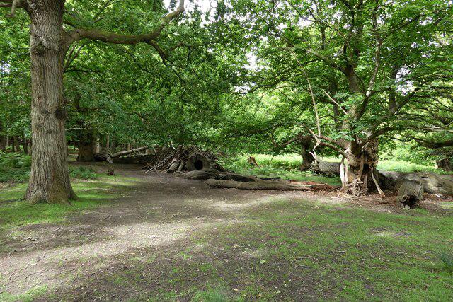
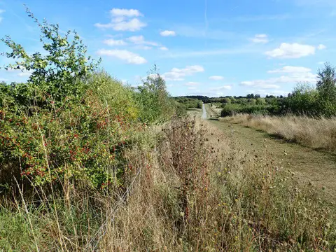
Image shared for Knole Park Broad Walk and Chestnut Walk Circuit
Park / Green space Circular

Knole Park Broad Walk and Chestnut Walk Circuit

Kent

Distance
2.8 mi
Est. time
2h
Difficulty
Medium
PaulWalkmates Route by PaulWalkmates

About this walk

Start at the signed walks meeting point outside Knole, near the Gatehouse Tower. This route follows the red Family Walk through the deer park, using Broad Walk, Chestnut Walk and the woodland return. Allow around two hours for the walk and pauses among the veteran trees.

Follow the red waymarkers from the house to Broad Walk, then turn south along the broad avenue to the far edge of the park. Turn sharply left onto Chestnut Walk. At the red-route junction, take the woodland path on the left back towards Broad Walk, then follow the shared approach back to the house. Check the trail board by the picnic area or Brewhouse Cafe before setting off. The landowner-approved red route keeps away from the golf course; keep to it rather than taking golf-course shortcuts.

The long avenues are easy to follow, but the walk includes rough grass, loose gravel, uneven ground and a steep woodland slope. Shoes with good grip are useful, especially after rain. The park is unlit and open from dawn to dusk. Give deer plenty of space, particularly during the autumn rut. Never feed, touch or approach them; move away if one approaches you. Dogs must stay on a lead throughout the park.

Pedestrian access to the park is free. To use Knole's car park, pre-book an admission ticket for every person in the vehicle, including members; there is no parking-only ticket. Town parking and a walk in are alternatives. Cafe and toilet access follows the property's admission and opening rules.

Based on the National Trust and Knole Estate's red Family Walk. Full trail map, visitor rules and the commissioned AccessAble terrain guide checked on 3 October 2026.
https://www.nationaltrust.org.uk/visit/kent/knole/explore-the-park-at-knole

Walk details

County
Kent
Walk type
Circular
Category
Park / Green space
Distance
2.8 mi (4.6 km)
Est. time
2h
Explorer
Yes, off the beaten track

Route map

Use the route details to plan your walk

If the map image does not load, the route description and starting-point details are still on this page.

The interactive map will load when you reach this section.

Where to start

Directions to start

Walking on your own?

Start when you're ready and add the walk to your history. No group date needed.

This walk is waiting for a date

Not ready to pick a date? Follow it and you'll hear when somebody else does.

No commitment. You can follow it now and pick a date later.

Joining a walk

A few things to know before you make plans.

Can I join if no one else is going?

You can be the first to join a scheduled walk. A suggested date is an idea for a group walk; choose Set this date up to organise it. Check the participant list and meeting details before setting off.

What if there is no date yet?

Choose Put a date on this walk to organise a group walk. Not ready to choose a day? Follow the route for scheduling updates, or save it for later.

What does the organiser do?

The organiser sets the date and meeting details and helps the group get started. They are a fellow walker and may be new to the route too.

Each walker is responsible for their own safety and navigation. Check the route, weather, equipment and whether the walk suits your experience and fitness.

Can I walk this route on my own?

Yes. Choose Walk this route on your own to open the start screen, then start when you are ready. Finish the walk to add it to your walking history. You do not need a group date.

What happens after I join?

Use the walk page to check meeting details, updates and who is going. Check in from 24 hours before the start to let the group know you still plan to come.

How do I confirm plans with the group?

Check the participant list and check-ins, and message the organiser or other walkers to confirm where to meet and who is coming. This is especially useful when the group is small.