

Botley Hill
Good walks are even better shared.
TQ3855 : Mast through trees
N Chadwick Photo source
Overview
Botley Hill: Your Next Hiking Adventure
Botley Hill is a gem nestled in the North Downs of Surrey, boasting an elevation of 240 meters. While it may not take your breath away like its larger siblings, it's a lovely spot for a day out in the fresh air.
Geology
The hill's bedrock features Upper Chalk, providing a rich ecosystem of flora. If you're a plant enthusiast, keep your eyes peeled—there’s a plethora of wildflowers adorning the slopes come spring!
Routes
Two popular hiking routes are the Oxted Circular and the Botley Hill to Warlingham trail. The former is a moderate 8 km loop, whereas the latter offers a more gentle stroll at 5 km.
Summit Features
At the summit, hikers are welcomed by a trig point and a charming brass plaque. It’s the perfect opportunity to snap a photo for the 'gram—just don't photobomb the view!
Terrain
The terrain is a delightful mix of grassy patches and easy woodland paths. So lace-up those walking boots and get ready for a few gentle slopes!
Views
A treat waits at the top: from Botley Hill, you can see as far as the South Downs on a clear day and soak in the sweeping sights of the Weald valley. The best views occur in spring and autumn, so time your visit wisely!
Hazards
While generally safe, keep an eye out for uneven ground and the occasional curious sheep. They can be quite friendly—maybe too friendly!
Access
Parking is available at the Botley Hill Farmhouse, but be warned, spaces fill up quickly! The nearest public transport hub can be found in Oxted, where a bus or a lovely walk can lead you to the hill.
Facilities
Once you’ve conquered the hike, a well-deserved treat awaits you at Botley Hill Farmhouse.
History
The name 'Botley' hints at ancient dwelling sites, making the hill rich in cultural heritage. Its significance as a meeting point can be traced back centuries.
In summary, Botley Hill is a charming destination for adventurers of all ages. Come for the views, stay for the fresh air—and remember, every hike counts as exercise!
Happy hiking!
Explore routes near Botley Hill
Walks starting near this hill. Open a route to check its map, distance and full itinerary.
Coulsdon Walk with Men Walking & Talking
View route
Reigate Hill B-17 Crash Site and Colley Hill
View route
Knole Park Broad Walk and Chestnut Walk Circuit
View route
Lullingstone Country Park: Beechen Wood and valley views
View route
Route planning notes
These notes describe possible approaches. Check a route's map and access information when planning your walk.
Oxted Circular
A scenic loop starting from Oxted that leads to the summit of Botley Hill and returns, offering lovely views and varied terrain.
Botley Hill to Warlingham
A straightforward route traversing through picturesque woods and fields, ideal for a leisurely walk.
Make a day of it, together
Find someone to share the walk with, or organise a day out along a route you like.
Photo Gallery
View all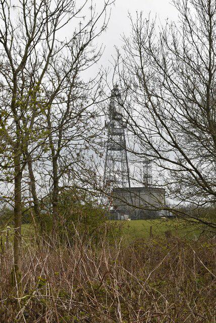 Photo could not load
TQ3855 : Mast through trees
N Chadwick
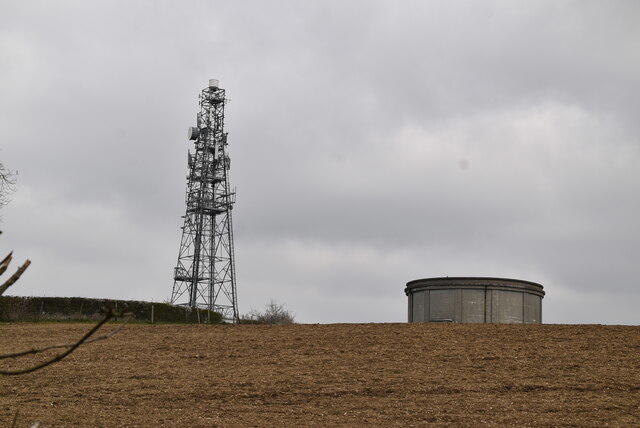 Photo could not load
TQ3855 : Mast and water tower
N Chadwick
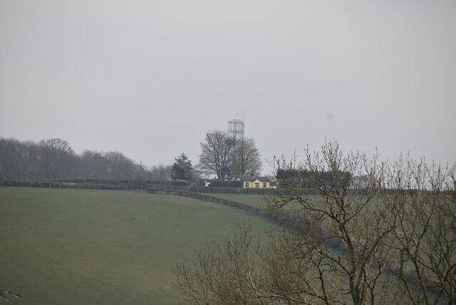 Photo could not load
TQ3855 : Hilltop mast
N Chadwick
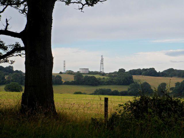 Photo could not load
TQ3855 : Transmitters and water tower
Bikeboy
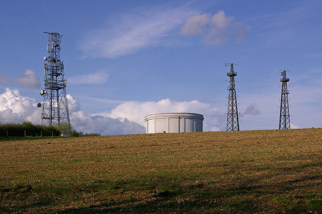 Photo could not load
TQ3855 : Woldingham water tower and masts
Ian Capper
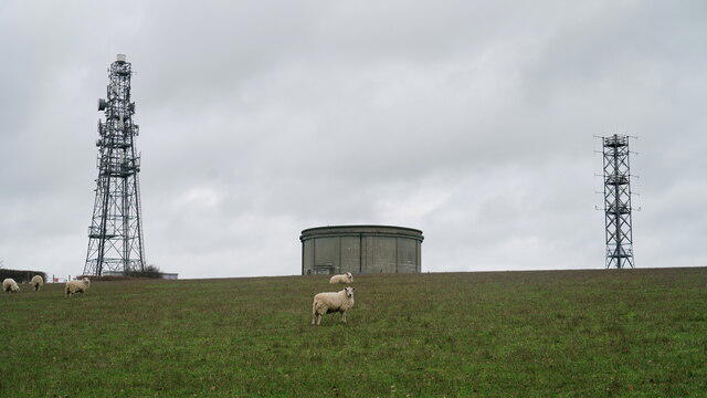 Photo could not load
TQ3855 : Water Tower and Aerials
Peter Trimming
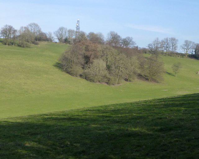 Photo could not load
TQ3855 : Communication masts
Russel Wills
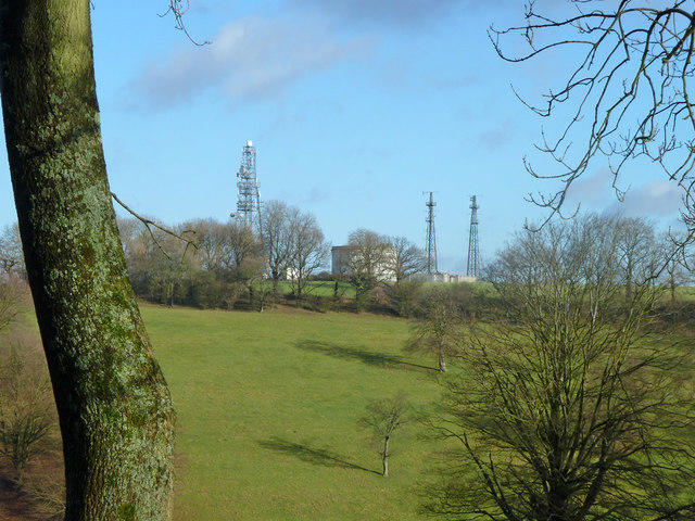 Photo could not load
TQ3855 : Water tower and communications masts
Robin Webster
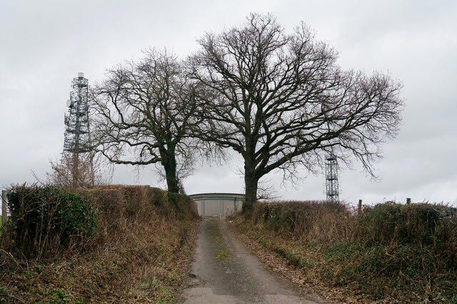 Photo could not load
TQ3855 : Water Tower and Aerials
Peter Trimming
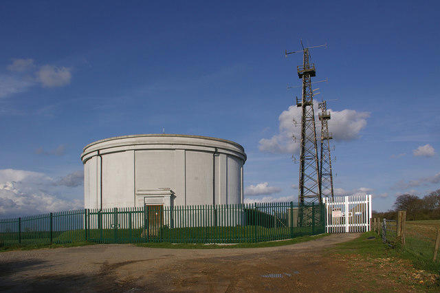
TQ3855 : Woldingham water tower
Ian Capper
Hill facts and local notes
Classifications
Elevation
270m
885 ft
Prominence
209m
Coordinates
51.2788, -0.0126
TQ387551
OS Map
187
Explorer: 146
At the Summit
The summit features a distinctive trig point and a small brass plaque dedicated to the view, inviting you to take a selfie with the chalky landscape as a backdrop.
Terrain & Geology
Botley Hill is primarily composed of Upper Chalk, which is part of the well-known Chilterns formations. The area showcases a rich display of chalk downland flora, with striking calcareous grasslands that bloom beautifully in spring and summer.
Views & Scenery
From the summit, you can see the expanse of the Weald valley to the south and on clear days, all the way to the South Downs in the distance.
History & Heritage
Name Origin
The name 'Botley' is thought to derive from the Old English 'Botl' meaning 'building or dwelling place'.
Historical Significance
Historically, the hill has been a prominent site since ancient times, with evidence of human activity in the area dating back to prehistoric times.
Getting There & Facilities
Parking
Botley Hill Farmhouse has a small car park, but spaces are limited. Arrive early to avoid missing out!
Public Transport
Regular buses run from nearby towns such as Oxted and Warlingham, and the nearest train station is Oxted, about 3 km away.
Nearby Facilities
Botley Hill Farmhouse offers refreshments and is a great place to grab a meal or a hot drink after your hike.
Safety Information
Known Hazards
- Watch out for uneven terrain and wildlife! The occasional sheep might decide to visit you as well.
General Safety Tips
- Check weather conditions before setting out
- Carry appropriate clothing and equipment
- Let someone know your planned route
- Take a map, compass, and GPS device
- Carry emergency supplies: food, water, first aid kit, torch
Hills
Some common questions about the hills answered
Are there group walks up Botley Hill?
Many walkers use Walkmates to join or organise walks with others. You can check for group walks around Botley Hill through the maps
Are there other walkers around Botley Hill?
Activity varies by location and time, but Walkmates lets you see whether others have shared walks or shown interest in this area. Find other people through the walking friends search walking friends for Botley Hill search or of course create your own walk for Botley Hill
Can I organise a walk to Botley Hill?
Yes. If there aren’t any walks listed already, you can create a walk and make it available for others to join.
If you're signed up to Walkmates, you can create a walk to Botley Hill.
How do I find a walk up this hill?
There are often multiple ways to walk this hill, depending on experience and route preference. Walkmates helps you explore walks and routes that others have shared.
Can I suggest a new route up Botley Hill?
Yes. You can suggest or create routes to share with others. Walkmates focuses on the social side of walking, so routes are used to help people organise walks and explore areas together, rather than as detailed navigation tools or route libraries.
Other uses really appreciate knowledgeable walkers sharing their routes. Share your favourite route to Botley Hill here
The is an error or something incorrect about this hill. How do I let you know?
We always strive to keep the information on Walkmates as accurate as possible. If you find an error, please let us know through the contact form and we'll aim to correct it as quickly as possible
Community Discussion
Comments
Location
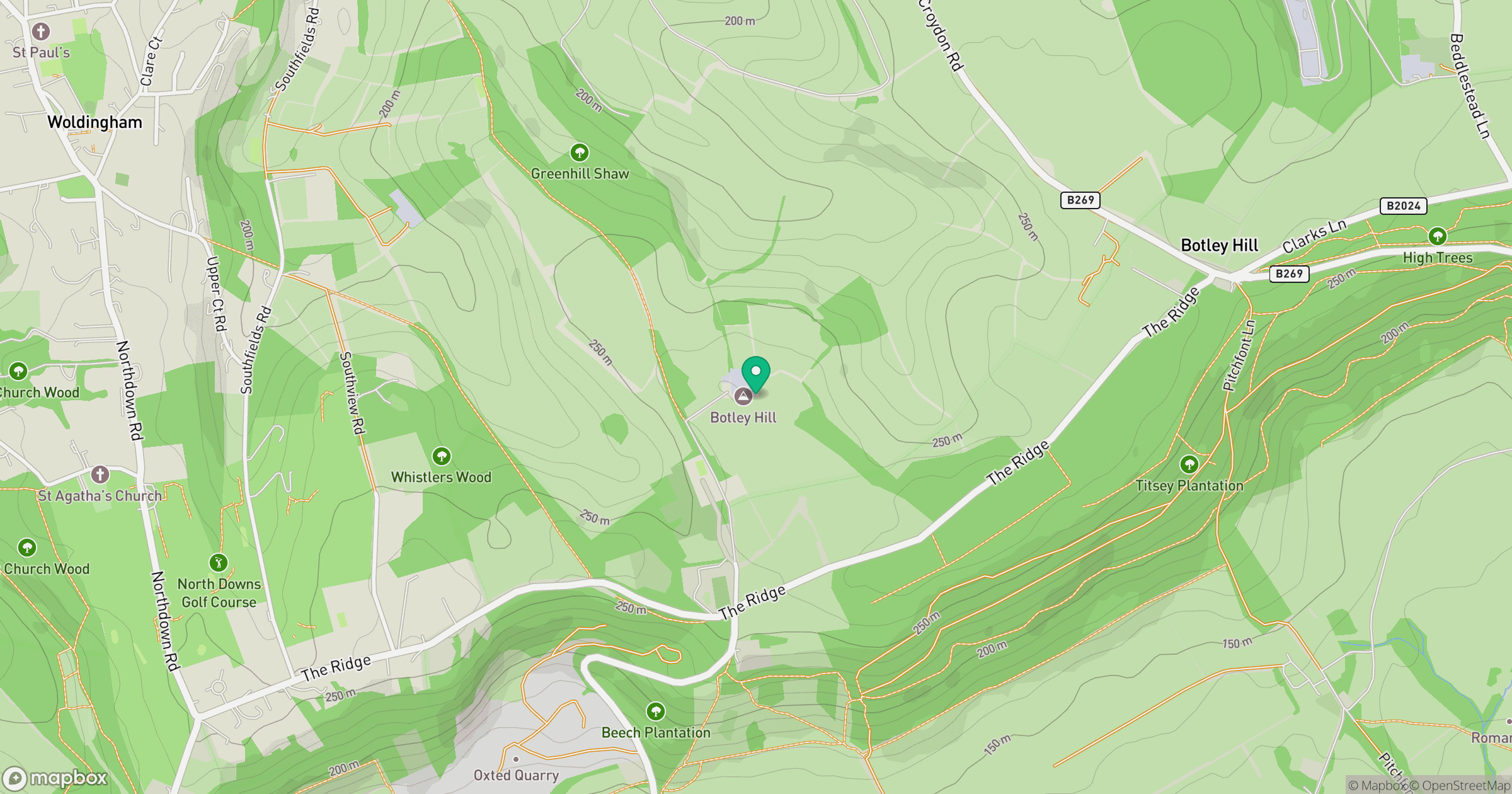
Grid reference: TQ387551
View on OpenStreetMapOpens a map in a new tab, centred on the hill.
No comments yet. Be the first.