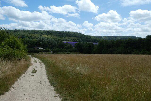
Lullingstone Country Park: Beechen Wood and valley views
- Distance
- 2.2 mi
- Est. time
- 1h 30m
- Difficulty
- Medium
About this walk
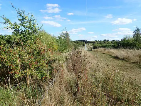
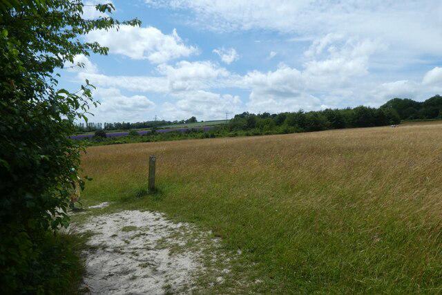
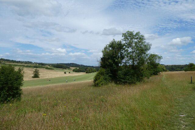
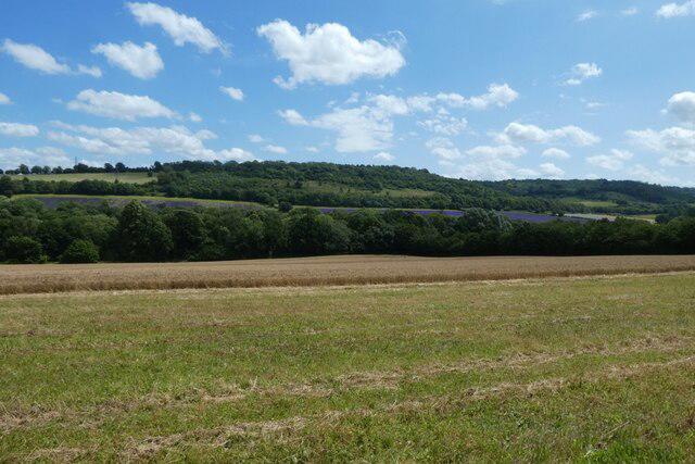
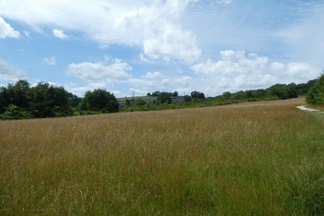
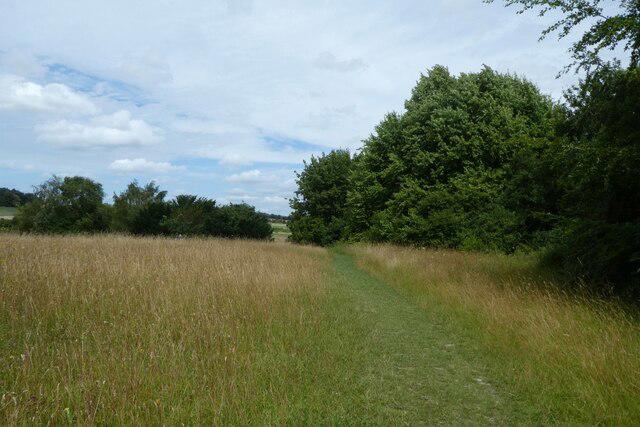
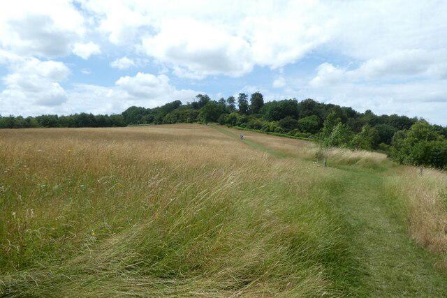
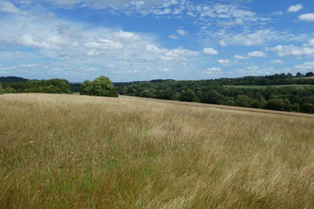
A 3.5 km circuit through Lullingstone Country Park’s woodland, with a climb through Upper Beechen Wood and a return beside the open slopes above the Darent Valley. Allow about an hour and a half for the hills and stops. Ancient trees, woodland flowers in spring and autumn fungi give reasons to slow down along the way.
Start inside the country park car park on Castle Road, beside the visitor centre. Head west along the park path, keeping inside the park boundary, then climb northwest through Beechen Wood. Turn east along the woodland edge below the golf course and return through the eastern park paths to the visitor centre. Follow the plotted route at junctions. This circuit uses paths on the council’s park map; the golf-hole numbers on that map are not walking directions.
Entry is free and parking is paid. The café, toilets and visitor centre are at the start, with separate opening hours. The car park opens at 9am and closes at 7pm or just after sunset, whichever is earlier; check the gate notice on arrival.
This is an uneven woodland walk with slopes and roots. Wear shoes with grip, and expect muddy patches and slippery leaves after rain. Shared sections carry horses, cyclists and occasional authorised vehicles. Keep dogs under close control and off the golf fairways and bunkers. Stay on the park paths beside the course, watch for golfers, and follow any work or diversion signs. The route stays west of the River Darent and does not enter the private lake or castle gardens.
Route and access information checked against Kent County Council’s Lullingstone Country Park map and current visitor information: https://www.kent.gov.uk/leisure-and-community/kent-country-parks/find-a-kent-country-park/lullingstone-country-park
Walk details
- County
- Kent
- Walk type
- Circular
- Category
- Park / Green space
- Distance
- 2.2 mi (3.5 km)
- Est. time
- 1h 30m
- Explorer
- Yes, off the beaten track
Route map
Use the route details to plan your walk
If the map image does not load, the route description and starting-point details are still on this page.
The interactive map will load when you reach this section.
Where to start
Directions to startWalking on your own?
Start when you're ready and add the walk to your history. No group date needed.
Photos
View all 24 →This walk is waiting for a date
Not ready to pick a date? Follow it and you'll hear when somebody else does.
No commitment. You can follow it now and pick a date later.
More walks nearby
Other routes starting close to this one
Trosley Country Park: Woodland Walk and Weald views
Ightham Mote, Scathes Wood and Wilmot Hill Circuit
Jeskyns Broomfield Loop and Henhurst Lake Walk
Explore more: Walks in Kent
Joining a walk
A few things to know before you make plans.
Can I join if no one else is going?
You can be the first to join a scheduled walk. A suggested date is an idea for a group walk; choose Set this date up to organise it. Check the participant list and meeting details before setting off.
What if there is no date yet?
Choose Put a date on this walk to organise a group walk. Not ready to choose a day? Follow the route for scheduling updates, or save it for later.
What does the organiser do?
The organiser sets the date and meeting details and helps the group get started. They are a fellow walker and may be new to the route too.
Each walker is responsible for their own safety and navigation. Check the route, weather, equipment and whether the walk suits your experience and fitness.
Can I walk this route on my own?
Yes. Choose Walk this route on your own to open the start screen, then start when you are ready. Finish the walk to add it to your walking history. You do not need a group date.
What happens after I join?
Use the walk page to check meeting details, updates and who is going. Check in from 24 hours before the start to let the group know you still plan to come.
How do I confirm plans with the group?
Check the participant list and check-ins, and message the organiser or other walkers to confirm where to meet and who is coming. This is especially useful when the group is small.