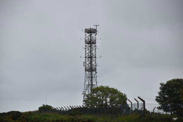
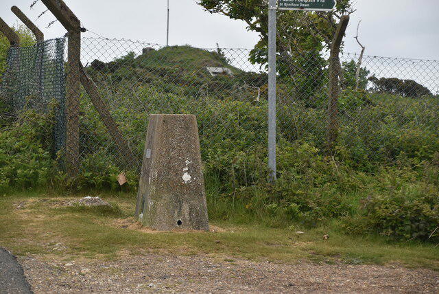
A circuit of the upper downs beginning at the plaque for the Channel Airways Dakota that crashed here in fog in 1962. The National Trust documents the crash and includes the plaque in its Ventnor Downs history walk. The memorial is beside the car park near the boundary of the former RAF Ventnor radar station. Read it before setting off and treat the site with respect.
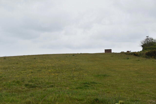
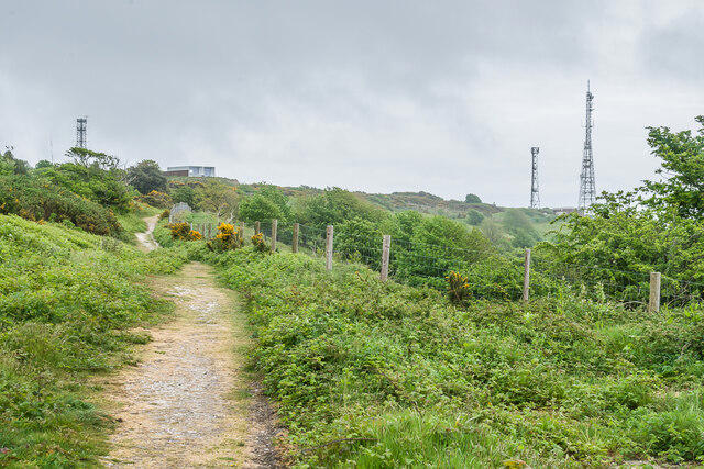
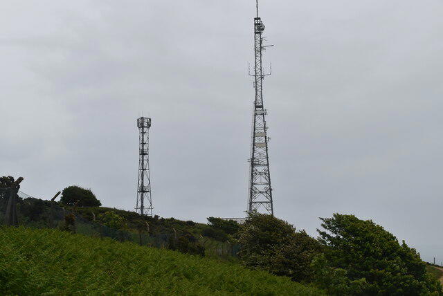
Start beside the Dakota memorial at the National Trust car park off Down Lane. Cross the short car-park approach to the public grassy paths north of the NATS entrance. Take the upper path across the downland near the Bronze Age barrows, then head east across the plateau. Follow the public tracks to the northeastern corner of the station fence. Turn along the public path outside the fence, continuing to the mast on the southern side. Return along the southwestern perimeter track and the short Down Lane approach to the memorial. Keep outside the NATS compound throughout; the gates and buildings are not visitor access.
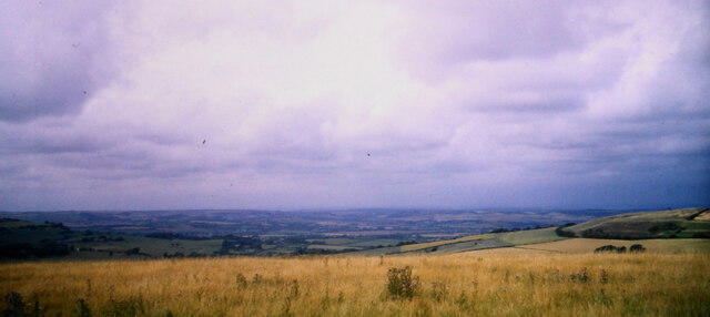
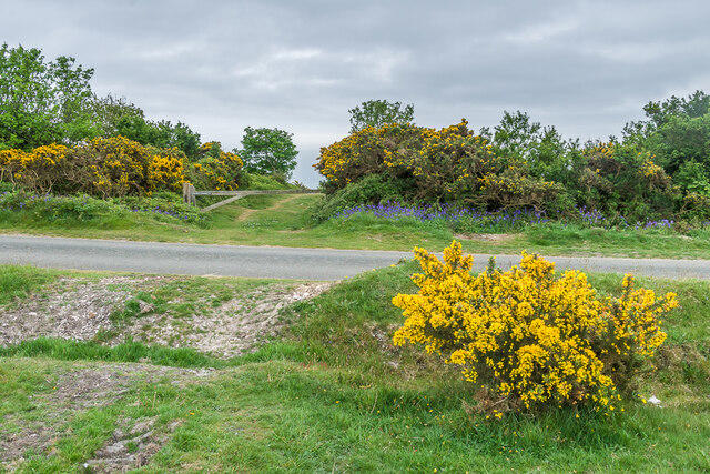
Allow about 1 hour 15 minutes for the 2.2 km circuit and memorial stop. This is a shorter upper-downs variant, without the National Trust walk’s descent into Coombe Bottom or the very steep climb from Ventnor town. It still has uneven grass, gates, slopes and some narrow or faint paths. The downs are exposed to wind, and the cliffward slopes below the path are steep. Choose clear daylight weather, use the plotted route at junctions and wear footwear with grip. Wet grass can be slippery. Keep dogs on leads around grazing animals and wildlife. This route is unsuitable for wheelchairs and ordinary pushchairs.
Use the National Trust car park off Down Lane, just before the fenced radar station, and check local signs. The access lane is narrow; keep clear of entrances and operational access. Bring water and a windproof layer. Toilets and refreshments are down in Ventnor town, not at the hilltop start.
History and public access: National Trust, Ventnor Downs prehistory and wartime walk (nationaltrust.org.uk/visit/isle-of-wight/ventnor-downs/ventnor-downs-prehistory-war-walk). Route independently traced from OpenStreetMap data, © OpenStreetMap contributors (openstreetmap.org/copyright).