
Hunt Hill
Good walks are even better shared.
Overview
Hunt Hill: A Hidden Gem in the Lake District
Overview
Hunt Hill is a striking mountain standing at 537 meters, classified as a Marilyn. Located near the quaint village of Threlkeld in the stunning Lake District, this hill is often overshadowed by its more famous counterparts, yet it offers enchanting views and lovely walking routes.
Geology
Made up of Skiddaw slate and volcanic rock, Hunt Hill is a product of the forces that shaped the Lake District millions of years ago. The landscape tells stories of ancient seas and fiery eruptions – fascinating stuff if you’re into that sort of thing!
Routes
- Hunt Hill from Threlkeld: Starting in Threlkeld, this 9 km route ascends through beautiful woodland and opens up to moorland, making it a mixed bag of hiking delight. Allow about 3.5 hours and don’t forget to capture a snap of that cheeky cairn at the top!
- Hunt Hill from Old Coach Road: This slightly shorter 7.5 km alternative packs its own punch, taking around 3 hours. On this route, vibrant heather and sweeping vistas keep your spirits high as you march toward the peak.
Summit Features
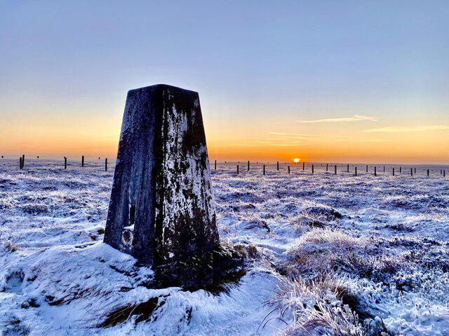
At the top, you’re greeted by a lovely stone cairn and a post indicating the summit, great for that Instagram pic to make your friends jealous.
Terrain
The terrain here is a mix of grassy inclines and rocky patches, with some sections that might leave your shoes notably muddier. Watch out for those pesky bogs that might just give you a surprise swim!
Views
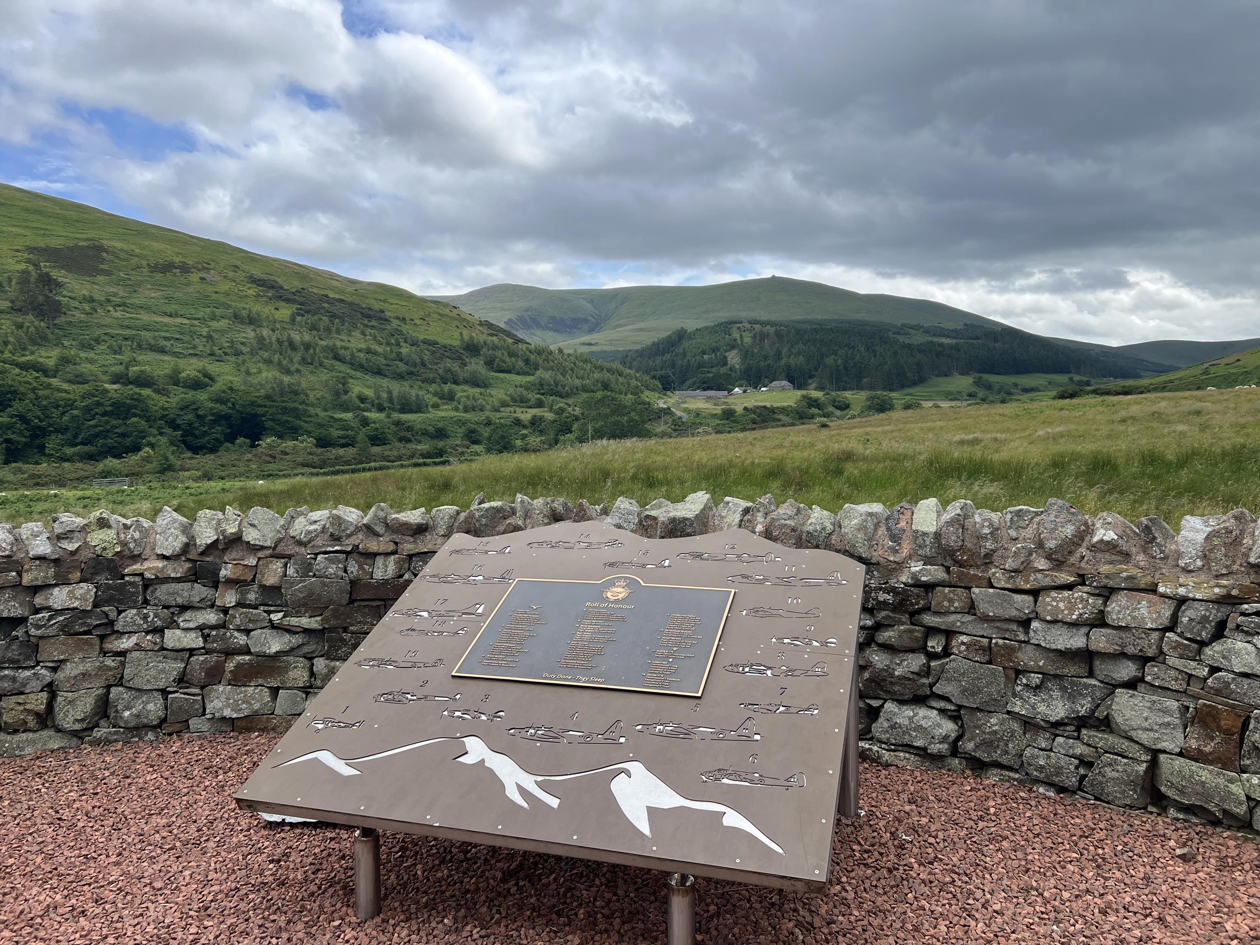
Once you reach the summit, the views are worth their weight in gold. Blencathra steals the show, along with Helvellyn and, on delightful days, even the northern Pennines. If you're a lover of vistas, try to time your hike for late spring or autumn for the best show.
Hazards
As with any outdoor venture, there are hazards to keep in mind. Slippery rocks can be found on the ascent, and fog can roll in faster than a caffeine rush at a local café. It’s always good to keep an eye on the weather!
Access
Getting there is a walk in the park—literally! Parking available in Threlkeld, with public transport options linked from Keswick. If you're arriving by bus, brace yourself for some picturesque views along the way.
Facilities
Threlkeld offers quaint cafes for those nip-and-tuck breaks you might need. Just remember to leave a bit of room for that post-walk cake – it’s practically a rule!
History
The name 'Hunt Hill' hints at the area's rich history of hunting and wildlife. Its significance grows with every hiker that visits, tracing the same paths and enjoying its beauty.
Conclusion
So, if you're looking for an adventure off the beaten path, Hunt Hill is waiting for you. Pack your boots, summon your courage, and go forth into the wild!
Explore routes near Hunt Hill
Public walks starting within 80 km of this hill. Nearby does not mean a route reaches the summit; check its map and access before setting out.
Harestanes Peniel Heugh and Waterloo Monument
View route
Pennymuir to Whitton Edge: Dere Street track return
View route
Hownam and Heatherhope Valley: The Street circuit from Greenhill
View route
Hownam to Belford via Seefew: green road return from Greenhill
View route
Route planning notes
These notes describe possible approaches, not verified navigable routes or permission to cross land. Check current paths, local access rules and conditions before setting out.
Hunt Hill from Threlkeld
This route begins at Threlkeld, offering a pleasant mix of woodland paths and open moorland bliss.
Hunt Hill from Old Coach Road
An alternative path starting from the Old Coach Road, leading hikers through beautiful heather-clad moorland with stunning views.
Make a day of it, together
Find someone to share the walk with, or organise a day out along a route you like.
Hill facts and local notes
Classifications
Elevation
231m
758 ft
Prominence
104m
Coordinates
55.4553, -2.5253
NT668180
OS Map
80
Explorer: OL16W
At the Summit
The summit features a modest cairn and a wooden post marking the highest point, perfect for a quick selfie.
Terrain & Geology
Hunt Hill is primarily composed of Skiddaw slate and volcanic rock formed during the Ordovician period, making it a fascinating study for geology enthusiasts.
Views & Scenery
From the summit, you can feast your eyes on Blencathra, the stunning Helvellyn ridge, and on a clear day, even the northern Pennines.
History & Heritage
Name Origin
The name 'Hunt' is thought to derive from the old Norse word ‘huntar’ meaning ‘to hunt’, indicating the potential for game in the area.
Historical Significance
The hill has been a popular walking destination for decades, appreciated for its accessibility and stunning views.
Getting There & Facilities
Check current local access restrictions, parking rules and transport timetables before travelling. These notes do not confirm public access to the summit.
Parking
Threlkeld village has a small car park. It's a quiet place, so parking tends not to be a problem.
Public Transport
Buses from Keswick regularly serve Threlkeld, making it accessible for those relying on public transport.
Nearby Facilities
Threlkeld has a couple of cafes and a public toilet, perfect for pre or post-walk refreshments. Just don’t make a dash for it during your hike!
Safety Information
Known Hazards
- There are occasional slippery sections, and care is needed in foggy conditions. Be wary of the bogs – they have a tendency to swallow up unsuspecting hikers!
General Safety Tips
- Check weather conditions before setting out
- Carry appropriate clothing and equipment
- Let someone know your planned route
- Take a map, compass, and GPS device
- Carry emergency supplies: food, water, first aid kit, torch
Hills
Some common questions about the hills answered
Are there group walks up Hunt Hill?
Many walkers use Walkmates to join or organise walks with others. You can check for group walks around Hunt Hill through the maps
Are there other walkers around Hunt Hill?
Activity varies by location and time, but Walkmates lets you see whether others have shared walks or shown interest in this area. Find other people through the walking friends search walking friends for Hunt Hill search or of course create your own walk for Hunt Hill
Can I organise a walk to Hunt Hill?
Yes. If there aren’t any walks listed already, you can create a walk and make it available for others to join.
If you're signed up to Walkmates, you can create a walk to Hunt Hill.
How do I find a walk up this hill?
There are often multiple ways to walk this hill, depending on experience and route preference. Walkmates helps you explore walks and routes that others have shared.
Can I suggest a new route up Hunt Hill?
Yes. You can suggest or create routes to share with others. Walkmates focuses on the social side of walking, so routes are used to help people organise walks and explore areas together, rather than as detailed navigation tools or route libraries.
Other uses really appreciate knowledgeable walkers sharing their routes. Share your favourite route to Hunt Hill here
The is an error or something incorrect about this hill. How do I let you know?
We always strive to keep the information on Walkmates as accurate as possible. If you find an error, please let us know through the contact form and we'll aim to correct it as quickly as possible
Community Discussion
Comments
Location
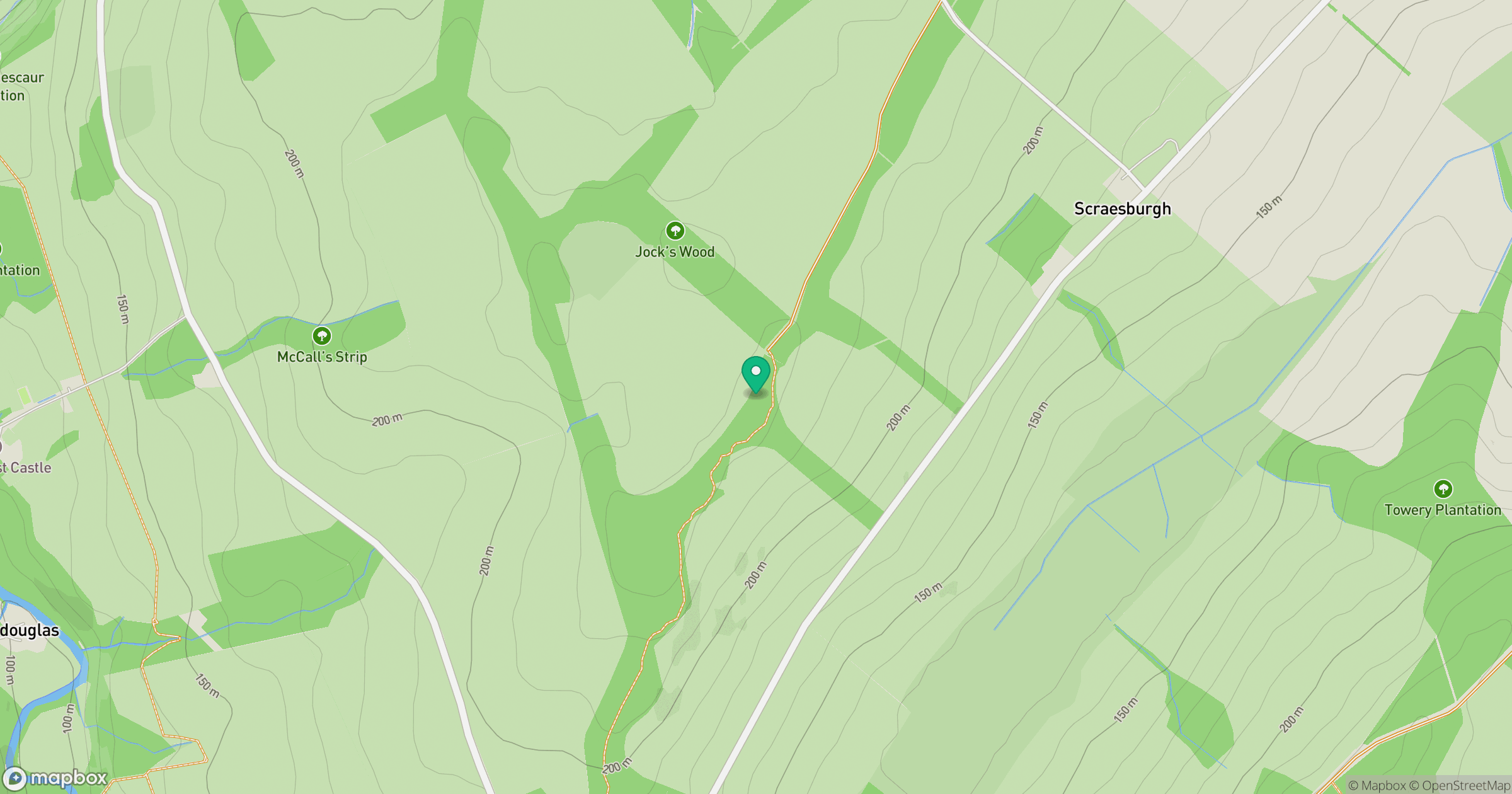
Grid reference: NT668180
View on OpenStreetMapOpens a map in a new tab, centred on the hill.
Hills within 30 km
Straight-line distance, not a walking route or confirmation of access.
No comments yet. Be the first.