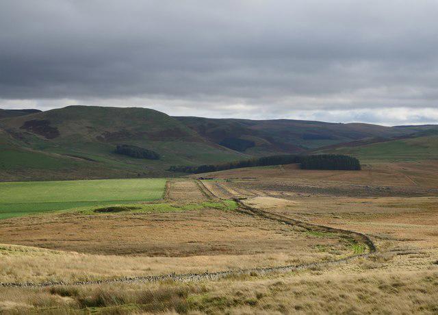
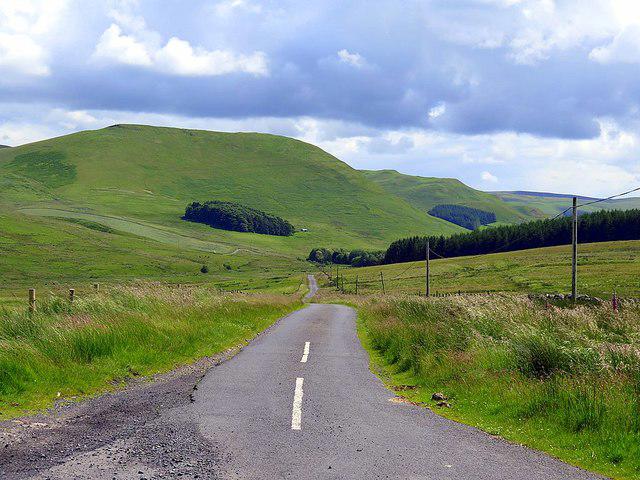
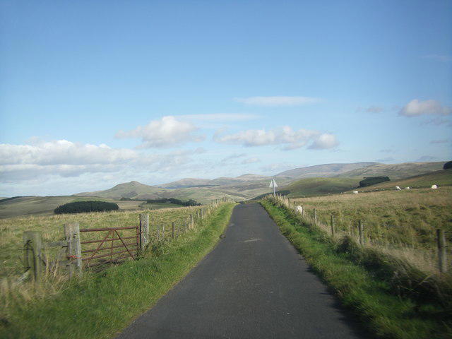
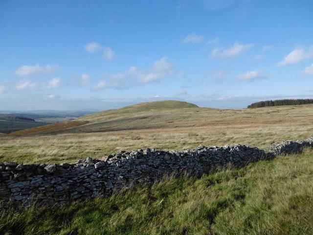
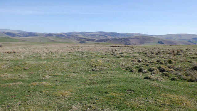
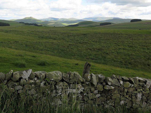
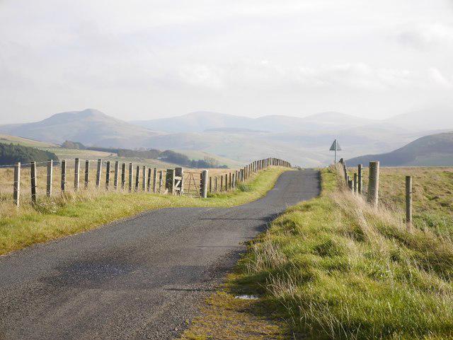
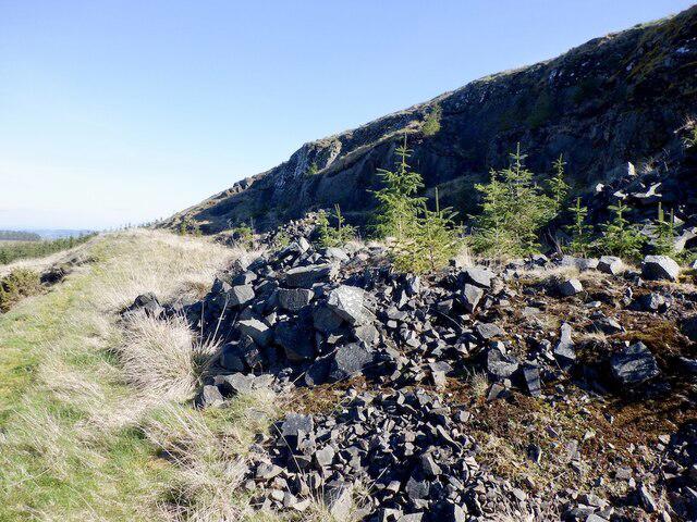
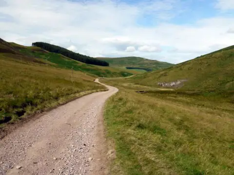
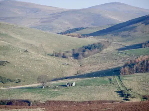
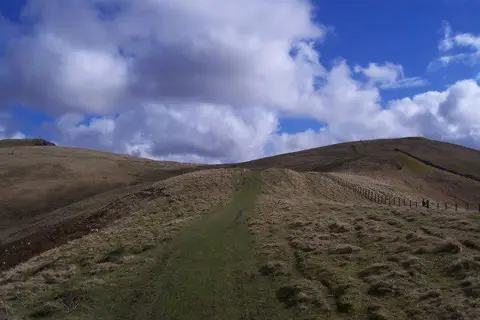
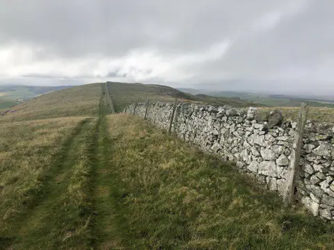
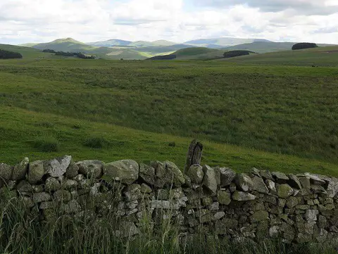
Image shared for Pennymuir to Whitton Edge: Dere Street track return
Upland / Hill Out & back

Pennymuir to Whitton Edge: Dere Street track return

Scottish Borders

Distance
6.4 mi
Est. time
3h
Difficulty
Medium
PaulWalkmates Route by PaulWalkmates

About this walk

Follow the old Dere Street north from Pennymuir into the rolling Cheviot foothills, then return along the same track. This 10.4 km walk takes about three hours, allowing time to look at the Roman road earthworks and the views across the upper Kale valley.

Start at the wide roadside verge beside the Roman camp information board, just southwest of the Pennymuir Hall junction. The Horse Trails around the Scottish Borders guide recommends careful verge parking here. This is roadside parking with limited space, not a formal car park. Keep the junction, gates and carriageway clear, check local signs on arrival and avoid the soft or waterlogged parts of the verge. The hall apron and field gate are not the parking point.

Walk the short road approach to the junction, then take Dere Street north beside the east side of the hall and its wall. Stay on the main defined track as it climbs through grazing country. The standing stone, Five Stanes burial-cairn remains and the earthworks of Cunzierton hill fort give this stretch its archaeological interest. Keep to the track rather than taking an unmarked detour to the fort. At Whitton Edge, where the track reaches the minor road, turn around and retrace the route to Pennymuir.

Expect grassy and rutted track, gates and muddy patches, with gradual climbs and open ground exposed to wind. Wear boots and carry a route map. Leave gates as found and keep dogs closely controlled around livestock. There are no refreshments or dependable public facilities along the route. This return does not continue to Cappuck or use its ford.

Route and access checked against Scottish Borders Council's Paths Around Jedburgh route 9a and adopted core path 111 map. Roadside parking guidance: Horse Trails around the Scottish Borders. The council's published path-closure notices were checked in October 2026.

Walk details

Walk type
Out & back
Category
Upland / Hill
Distance
6.4 mi (10.4 km)
Est. time
3h
Explorer
Yes, off the beaten track

Route map

Use the route details to plan your walk

If the map image does not load, the route description and starting-point details are still on this page.

The interactive map will load when you reach this section.

Where to start

Directions to start

Walking on your own?

Start when you're ready and add the walk to your history. No group date needed.

This walk is waiting for a date

Not ready to pick a date? Follow it and you'll hear when somebody else does.

No commitment. You can follow it now and pick a date later.

Joining a walk

A few things to know before you make plans.

Can I join if no one else is going?

You can be the first to join a scheduled walk. A suggested date is an idea for a group walk; choose Set this date up to organise it. Check the participant list and meeting details before setting off.

What if there is no date yet?

Choose Put a date on this walk to organise a group walk. Not ready to choose a day? Follow the route for scheduling updates, or save it for later.

What does the organiser do?

The organiser sets the date and meeting details and helps the group get started. They are a fellow walker and may be new to the route too.

Each walker is responsible for their own safety and navigation. Check the route, weather, equipment and whether the walk suits your experience and fitness.

Can I walk this route on my own?

Yes. Choose Walk this route on your own to open the start screen, then start when you are ready. Finish the walk to add it to your walking history. You do not need a group date.

What happens after I join?

Use the walk page to check meeting details, updates and who is going. Check in from 24 hours before the start to let the group know you still plan to come.

How do I confirm plans with the group?

Check the participant list and check-ins, and message the organiser or other walkers to confirm where to meet and who is coming. This is especially useful when the group is small.