

Banc Mynyddgorddu
Good walks are even better shared.
Overview
Banc Mynyddgorddu
Banc Mynyddgorddu stands majestically in the Brecon Beacons, a hidden gem for walkers and nature lovers alike. At an elevation of 595 meters, it's a classic Marilyn offering stunning panoramic views that make your effort worthwhile.
Geology
Composed primarily of Old Red Sandstone, the geological features of this mountain are intriguing. You’ll find layers of sediment and erosion that speak of ancient history. If rocks could talk, these would have tales of glaciers and time gone by.
Routes
The Banc Mynyddgorddu Circular route is a popular choice, with approximately 8.4 km of beautiful terrain perfect for a moderate day's hike. Alternatively, those looking for a challenge may choose the direct ascent from Abergavenny. It’s a steep climb but rewards you with the satisfaction of conquering the peak.
Summit Features
Upon reaching the top, you'll encounter a stone cairn perfect for a selfie (because we all know it's not real if it's not on Instagram) and a trig point that signifies your triumph.
Terrain Type
The terrain is diverse, featuring grassy slopes intertwined with rocky paths. Be mindful of the boggy areas—it's like nature's own version of a water fountain, only this one may leave your boots a tad muddy!
Views
On a clear day, the views are breathtaking. Look eastward to see the expansive valleys of the Brecon Beacons and the shimmering Llangorse Lake glistening in the sunlight. The best times to soak in these views are during spring and autumn.
Hazards
As with any mountain, there's a risk of changing weather. What starts as a sunny day can quickly transition to misty obscurity. Remember: when in doubt, turn around before you find yourself enjoying a bit too much of that thick fog.
Nearby Summits
Other notable peaks to consider are Mynydd Troed and Mynydd Llangattock, both of which offer additional exploration opportunities.
Access
Accessing Banc Mynyddgorddu is straightforward. There's parking available at the village of Llangynidr, perfect for those looking to take in the area. Public transport is also a viable option, with regular services from Abergavenny.
Facilities
After your adventure, Llangynidr boasts a lovely café and pub where you can treat yourself to a hearty meal or a refreshing drink. Don’t forget to check out the local toilets!
History
The name 'Banc Mynyddgorddu' translates to 'ridge of the dark mountain', capturing the essence of its shadowy presence. Historically, this area has ecological significance, providing a vital habitat for numerous wildlife species.
So, lace up those hiking boots, pack your snacks, and prepare for an adventure on Banc Mynyddgorddu. Be sure to bring your camera for those postcard views but remember: no selfies on the summit until you've safely descended!
Explore routes near Banc Mynyddgorddu
Public walks starting within 80 km of this hill. Nearby does not mean a route reaches the summit; check its map and access before setting out.
Ystwyth Trail: Black Covert to Llanilar and back
View route
Hafren Forest: full Source of the Severn Trail
View route
Cadair Idris - Pony Path
View route
Mawddach Trail: Dolgellau to Barmouth
View route
Route planning notes
These notes describe possible approaches, not verified navigable routes or permission to cross land. Check current paths, local access rules and conditions before setting out.
Banc Mynyddgorddu Circular
A scenic circuit that follows the well-marked trails leading around the mountain, offering diverse landscapes and varying terrain.
Straight Ascent from Abergavenny
This direct route tackles the peak with an uphill trek through blooming heather and open moorland, sure to get your heart racing.
Make a day of it, together
Find someone to share the walk with, or organise a day out along a route you like.
Photo Gallery
View all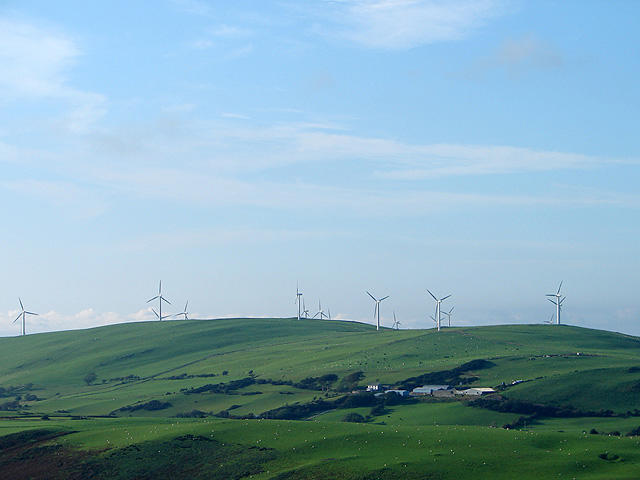 Photo could not load
SN6686 : Mynydd Gorddu Windfarm
John Lucas
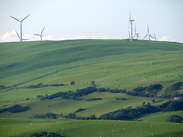 Photo could not load
SN6686 : Mynydd Gorddu Windfarm
John Lucas
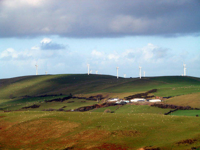 Photo could not load
SN6686 : Five a day, or Huhne's vision of the future
John Lucas
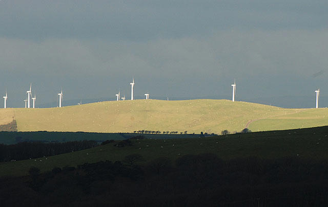 Photo could not load
SN6686 : Mynydd Gorddu wind farm
Nigel Brown
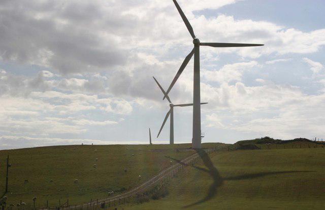 Photo could not load
SN6686 : Giant turbines, Mynyddgorddu
Chris Denny
Hill facts and local notes
Classifications
Elevation
312m
1,024 ft
Prominence
115m
Coordinates
52.4610, -3.9634
SN667866
OS Map
135
Explorer: 213
At the Summit
The summit features a stone cairn that serves as a picturesque spot for photos and a trig point that pays homage to the Ordnance Survey's surveying tradition.
Terrain & Geology
Primarily composed of Old Red Sandstone, featuring striking cliff faces and a variety of sedimentary features. The area is characterised by deep valleys carved during the last Ice Age, providing an exhilarating landscape for exploration.
Views & Scenery
From the summit, hikers can enjoy stunning views of the sweeping valleys of the Brecon Beacons, including the nearby Black Mountains and the glistening waters of Llangorse Lake.
History & Heritage
Name Origin
The name 'Banc Mynyddgorddu' translates to 'ridge of the dark mountain', aptly describing its mysterious and undulating silhouette against the skyline.
Historical Significance
This mountain holds ecological importance, providing habitats for a variety of wildlife, including rare birds and flora unique to the region.
Getting There & Facilities
Check current local access restrictions, parking rules and transport timetables before travelling. These notes do not confirm public access to the summit.
Parking
Parking is available at the base near the village of Llangynidr, with space for several cars. Alternatively, there is a small lay-by along the A40 that can accommodate a few vehicles.
Public Transport
Regular bus services from Abergavenny and Brecon provide transport to Llangynidr, making it accessible for those travelling by public transport.
Nearby Facilities
Llangynidr offers a local pub and café, ideal for post-hike refreshments. Public toilets can also be found in the village.
Safety Information
Known Hazards
- Variable weather conditions that can change rapidly, especially at higher elevations; ensure you check the forecast and pack accordingly.
- Steep drops and rocky sections that require careful navigation.
General Safety Tips
- Check weather conditions before setting out
- Carry appropriate clothing and equipment
- Let someone know your planned route
- Take a map, compass, and GPS device
- Carry emergency supplies: food, water, first aid kit, torch
Hills
Some common questions about the hills answered
Are there group walks up Banc Mynyddgorddu?
Many walkers use Walkmates to join or organise walks with others. You can check for group walks around Banc Mynyddgorddu through the maps
Are there other walkers around Banc Mynyddgorddu?
Activity varies by location and time, but Walkmates lets you see whether others have shared walks or shown interest in this area. Find other people through the walking friends search walking friends for Banc Mynyddgorddu search or of course create your own walk for Banc Mynyddgorddu
Can I organise a walk to Banc Mynyddgorddu?
Yes. If there aren’t any walks listed already, you can create a walk and make it available for others to join.
If you're signed up to Walkmates, you can create a walk to Banc Mynyddgorddu.
How do I find a walk up this hill?
There are often multiple ways to walk this hill, depending on experience and route preference. Walkmates helps you explore walks and routes that others have shared.
Can I suggest a new route up Banc Mynyddgorddu?
Yes. You can suggest or create routes to share with others. Walkmates focuses on the social side of walking, so routes are used to help people organise walks and explore areas together, rather than as detailed navigation tools or route libraries.
Other uses really appreciate knowledgeable walkers sharing their routes. Share your favourite route to Banc Mynyddgorddu here
The is an error or something incorrect about this hill. How do I let you know?
We always strive to keep the information on Walkmates as accurate as possible. If you find an error, please let us know through the contact form and we'll aim to correct it as quickly as possible
Community Discussion
Comments
Location
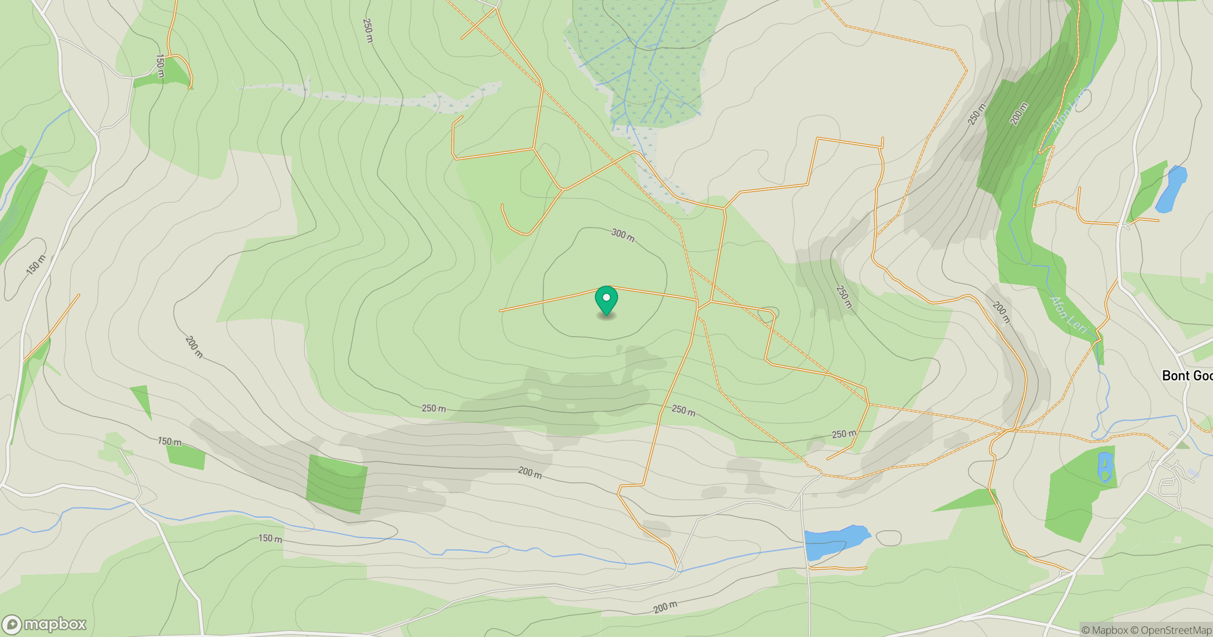
Grid reference: SN667866
View on OpenStreetMapOpens a map in a new tab, centred on the hill.
Hills within 30 km
Straight-line distance, not a walking route or confirmation of access.
Pumlumon Fawr [Plynlimon]
753m
Cadair Idris - Penygadair
893m
Banc y Garn
437m
Moel y Llyn
521m
Disgwylfa Fawr
507m
No comments yet. Be the first.