

Banc y Garn
Good walks are even better shared.
Overview
Banc y Garn
Introduction
Banc y Garn is a hidden gem tucked away in the stunning Snowdonia National Park. Standing at 644 meters, it may not be the highest peak around, but it certainly doesn’t lack charm.
Geology
The mountain is composed of a rocky mix of gritstone and shale. This delightful mix makes for fascinating geology with unique formations, and let's be honest, the rocks occasionally double as your new best friends when you're looking for a seat!
Routes
There are a couple of great routes to the summit. The Bryn Llech Route is easier on the legs, while the Cwm Glo Route presents a bit more of a challenge. Both routes offer their own unique views, ensuring you won't be bored!
Summit Features
At the top, you'll be greeted by a proud little cairn, perfect for a quick selfie or a good old chinwag with fellow hikers.
Terrain Type
Expect a mix of rocky paths complemented by grassy areas, especially closer to the top. It's a wild yet friendly environment, minus the pesky midges if you visit at the right time.
Views
The views from Banc y Garn are nothing short of spectacular. On a clear day, you might just spot Llyn Trawsfynydd shimmering in the distance. The real showstoppers are the Rhinogs to the south. Bring your camera!
Hazards
As with all mountainous terrain, be cautious of the loose stones. They love to play games with your feet, especially on the descent. Also, keep an eye on the weather, as it can change quicker than you can say 'where did that sun go?'
Access
Banc y Garn is easily accessible through Trawsfynydd. Park your car, grab your gear, and off you go. Just remember, if you miss the bus, you might need a friendly local to pluck you up!
Facilities
Before and after your adventure, Trawsfynydd offers a cozy café where you can indulge in cake (because calories don't count when you're hiking, right?).
History
The name ‘Banc y Garn’ offers a peek into the mountain’s Welsh roots, and its significance in local sheep farming history provides an interesting backdrop to your hike.
In summary, whether you are an experienced hiker or a casual walker, Banc y Garn offers a delightful experience, rich in natural beauty and rugged charm. Now, pack your rucksack and hit the trail!
Explore routes near Banc y Garn
Public walks starting within 80 km of this hill. Nearby does not mean a route reaches the summit; check its map and access before setting out.
Ystwyth Trail: Black Covert to Llanilar and back
View route
Hafren Forest: full Source of the Severn Trail
View route
Elan Valley: Reservoir Trail to Pen y Garreg Dam
View route
Cadair Idris - Pony Path
View route
Route planning notes
These notes describe possible approaches, not verified navigable routes or permission to cross land. Check current paths, local access rules and conditions before setting out.
Bryn Llech Route
A popular route starting from Bryn Llech, taking you through gentle slopes and offering stunning views.
Cwm Glo Route
A slightly longer route beginning in Cwm Glo, it offers a bit more challenge with a steeper ascent towards the summit.
Make a day of it, together
Find someone to share the walk with, or organise a day out along a route you like.
Photo Gallery
View all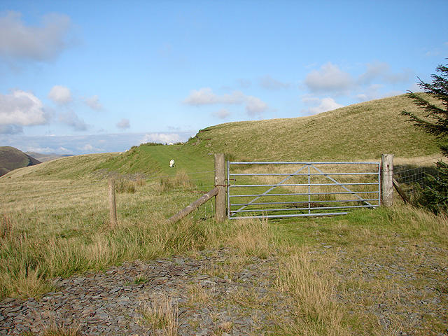 Photo could not load
SN7084 : The end of the forestry track to Banc y Garn
John Lucas
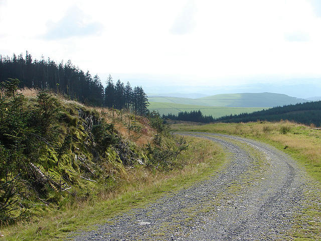 Photo could not load
SN7084 : Forestry track at Banc y Garn
John Lucas
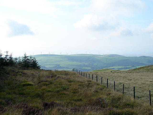 Photo could not load
SN7084 : Forestry land at Banc y Garn
John Lucas
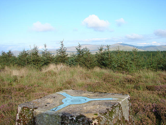 Photo could not load
SN7084 : Line of sight to Plynlimon
John Lucas
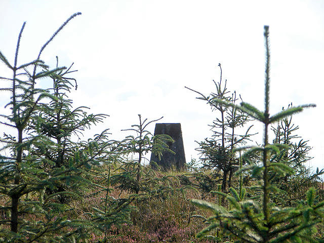 Photo could not load
SN7084 : Approaching the trig point on Banc y Garn
John Lucas
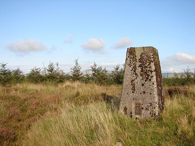 Photo could not load
SN7084 : Banc y Garn Trig Point
John Lucas
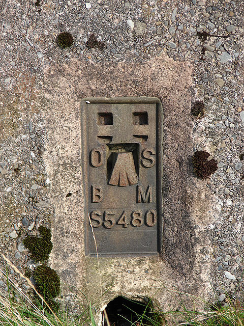 Photo could not load
SN7084 : Banc y Garn Trig Point flush bracket
John Lucas
Hill facts and local notes
Classifications
Elevation
437m
1,434 ft
Prominence
105m
Coordinates
52.4423, -3.9041
SN706844
OS Map
135
Explorer: 213
At the Summit
The summit features a well-defined cairn, serving as a great spot for a group photo or, more importantly, a place to rest your weary legs while admiring the views.
Terrain & Geology
Banc y Garn is primarily composed of gritstone and shale, forming a rocky landscape with areas of scree. This geological mix provides a unique habitat and has created interesting formations over millennia.
Views & Scenery
From the summit, you can catch sight of the beautiful Rhinogs to the south and even the shimmering waters of Llyn Trawsfynydd in the far distance.
History & Heritage
Name Origin
The name 'Banc y Garn' translates roughly to 'the hill of the heap' in Welsh, which possibly refers to its summit cairn.
Historical Significance
Historically, the area has been significant for sheep farming, and the landscape reflects its pastoral heritage.
Getting There & Facilities
Check current local access restrictions, parking rules and transport timetables before travelling. These notes do not confirm public access to the summit.
Parking
There is a small parking area near the village of Trawsfynydd, which is about 3 km from the foot of Banc y Garn.
Public Transport
The nearest bus service runs to Trawsfynydd, but services can be infrequent, so check the timetable in advance.
Nearby Facilities
You'll find a café and some public toilets in Trawsfynydd, perfect for a pre-hike coffee or a slice of cake post-adventure.
Safety Information
Known Hazards
- Loose stones on some trails may pose a tripping hazard, especially when descending. Also, be aware of sudden weather changes typical in the mountains.
General Safety Tips
- Check weather conditions before setting out
- Carry appropriate clothing and equipment
- Let someone know your planned route
- Take a map, compass, and GPS device
- Carry emergency supplies: food, water, first aid kit, torch
Hills
Some common questions about the hills answered
Are there group walks up Banc y Garn?
Many walkers use Walkmates to join or organise walks with others. You can check for group walks around Banc y Garn through the maps
Are there other walkers around Banc y Garn?
Activity varies by location and time, but Walkmates lets you see whether others have shared walks or shown interest in this area. Find other people through the walking friends search walking friends for Banc y Garn search or of course create your own walk for Banc y Garn
Can I organise a walk to Banc y Garn?
Yes. If there aren’t any walks listed already, you can create a walk and make it available for others to join.
If you're signed up to Walkmates, you can create a walk to Banc y Garn.
How do I find a walk up this hill?
There are often multiple ways to walk this hill, depending on experience and route preference. Walkmates helps you explore walks and routes that others have shared.
Can I suggest a new route up Banc y Garn?
Yes. You can suggest or create routes to share with others. Walkmates focuses on the social side of walking, so routes are used to help people organise walks and explore areas together, rather than as detailed navigation tools or route libraries.
Other uses really appreciate knowledgeable walkers sharing their routes. Share your favourite route to Banc y Garn here
The is an error or something incorrect about this hill. How do I let you know?
We always strive to keep the information on Walkmates as accurate as possible. If you find an error, please let us know through the contact form and we'll aim to correct it as quickly as possible
Community Discussion
Comments
Location
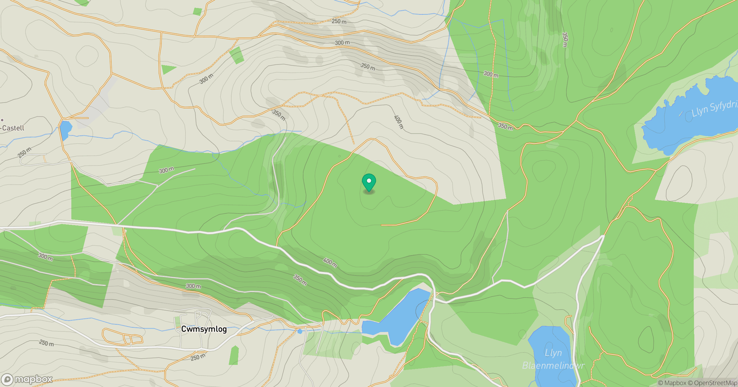
Grid reference: SN706844
View on OpenStreetMapOpens a map in a new tab, centred on the hill.
Hills within 30 km
Straight-line distance, not a walking route or confirmation of access.
Pumlumon Fawr [Plynlimon]
753m
Cadair Idris - Penygadair
893m
Disgwylfa Fawr
507m
Banc Mynyddgorddu
312m
Moel y Llyn
521m
No comments yet. Be the first.