
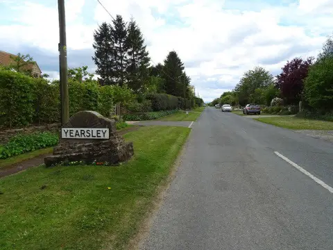
Yearsley Cross
Good walks are even better shared.
Overview
Yearsley Cross
Situated in the breathtaking North York Moors National Park, Yearsley Cross stands at 181 meters, offering delightful panoramas that make the effort of the hike well worth your while.
Geology
Yearsley Cross is built upon Jurassic limestone, remnants of ancient marine environments. This unique geology gives rise to interesting rock formations, and the surrounding area is rich in flora and fauna, so keep your eyes peeled for the local wildlife!
Routes
The Yearsley Cross Circular Walk is the go-to route for enthusiasts. At approximately 6.5 km long, it can typically be completed in 2.5 hours with moderate difficulty. Beginning in Yearsley, you'll traverse across beautiful moorland before reaching the summit, giving your legs a good workout along the way!
Summit Features
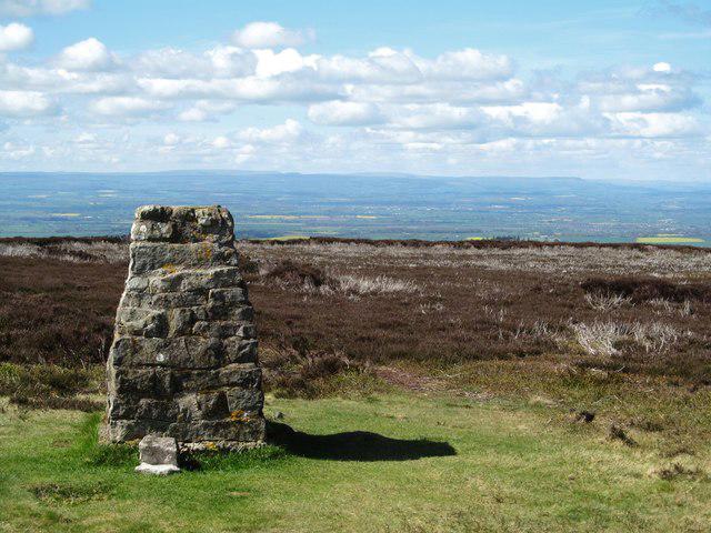
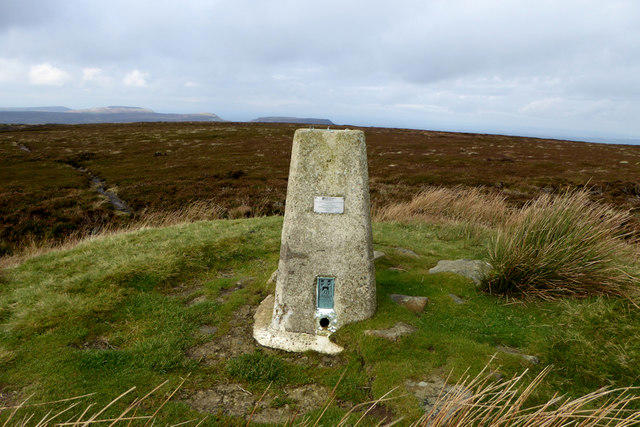
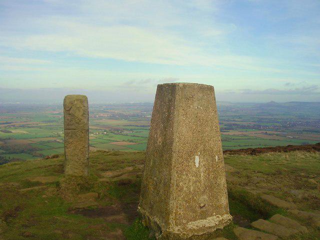
When you reach the summit, you'll find a sturdy stone cairn, perfect for your next Instagram moment. A trig point is also nearby – it knows how to keep its head high!
Terrain Type
Expect a mix of rocky outcrops and lush grassy areas, with heather adding splashes of colour throughout the seasons. The varied terrain adds character and makes each step a bit of an adventure.
Views
The views from Yearsley Cross are nothing short of spectacular. On a clear day, you can take in the vast expanse of the North York Moors and even spot the Howardian Hills in the distance. Spring and early autumn are the prime seasons for viewing; pack your thermos and enjoy the tranquility.
Hazards
While it's not Everest, the weather can change quickly, so don’t be caught out without your waterproofs! The odd cheeky shower might send you scampering for cover, but that's part of the adventure, right?
Access
You'll find parking in the quaint village of Yearsley, while Helmsley serves as the nearest town for those relying on public transport. A few local buses run close but check the timetable to avoid being left stranded!
Facilities
After conquering the cross, you might fancy refuelling. The local pub is your best bet, but considering packing a hearty picnic to truly enjoy the surroundings.
History
The name Yearsley itself suggests a rich history, stemming from Old Norse origins that reflect the agricultural use of the area. The cross serves as a perfect reminder of the paths that have shaped the landscape and carry stories of ancient visitors.
So, lace up your hiking boots and make your way to Yearsley Cross—where stunning views and a bit of adventure await! Enjoy your hike and remember to capture those moments.
Explore routes near Yearsley Cross
Public walks starting within 80 km of this hill. Nearby does not mean a route reaches the summit; check its map and access before setting out.
Yearsley Woods and the Fish Ponds
View route
Coxwold, Beacon Banks and Husthwaite circular walk near Thirsk
View route
Cleveland Way: Sutton Bank to Osmotherley
View route
Sutton Bank: Gormire Lake and Boltby full northern circuit
View route
Route planning notes
These notes describe possible approaches, not verified navigable routes or permission to cross land. Check current paths, local access rules and conditions before setting out.
Yearsley Cross Circular Walk
A scenic circular route that takes you from the nearby village of Yearsley, across the surrounding moors and up to the summit of Yearsley Cross, offering both stunning views and a taste of local wildlife.
Make a day of it, together
Find someone to share the walk with, or organise a day out along a route you like.
Photo Gallery
View all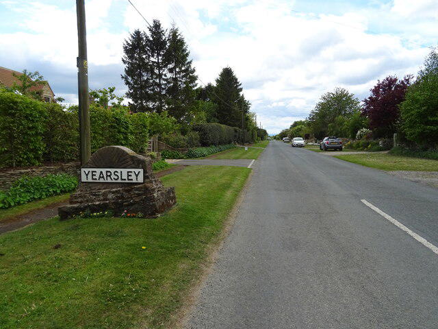 Photo could not load
SE5874 : Entering Yearsley
JThomas
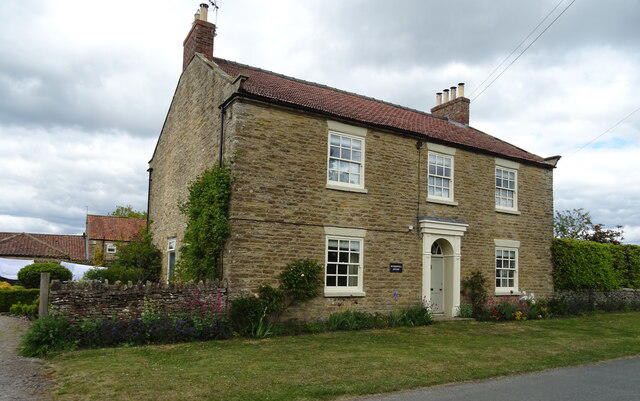 Photo could not load
SE5874 : Wombwell House, Yearsley
JThomas
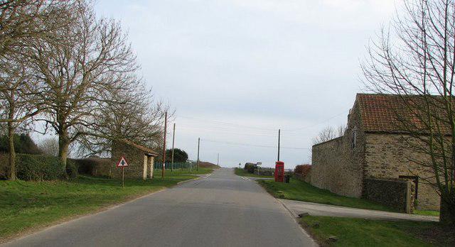 Photo could not load
SE5874 : Yearsley Village phone box and bus stop
Nick W
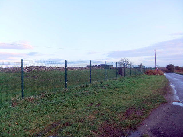 Photo could not load
SE5874 : Reservoir compound, Yearsley
David Brown
Hill facts and local notes
Classifications
Elevation
174m
571 ft
Prominence
105m
Coordinates
54.1627, -1.1007
SE588744
OS Map
100
Explorer: 300W
At the Summit
The summit is marked by a distinctive stone cairn, providing a perfect spot for a selfie or that all-important post-hike snack. A trig point can also be found nearby, proving that even the mountains enjoy a good GPS reference.
Terrain & Geology
Yearsley Cross is primarily composed of Jurassic limestone, which provides a rocky yet stable terrain. The underlying geology is characteristic of the North York Moors, with evidence of ancient marine environments.
Views & Scenery
From the summit, you can see sweeping vistas of the North York Moors, including the charming nearby village of Yearsley and, on a clear day, even as far as the Howardian Hills.
History & Heritage
Name Origin
The name ‘Yearsley’ is thought to derive from Old Norse, meaning 'meadow by the river'.
Historical Significance
Yearsley Cross has historical significance as a boundary marker and a focal point for various paths through the moors, reflecting the ancient landscape use.
Getting There & Facilities
Check current local access restrictions, parking rules and transport timetables before travelling. These notes do not confirm public access to the summit.
Parking
The nearest parking is at Yearsley village, where spaces may be limited but generally available. Please park responsibly according to local guidelines.
Public Transport
Limited public transport options are available; however, local buses connect to surrounding towns. The closest main bus route services Helmsley.
Nearby Facilities
In the nearby village of Yearsley, you'll find a pub for refreshments, but it's wise to pack a picnic – the views are too good to be rushed through.
Safety Information
Known Hazards
- Potential for changeable weather conditions. Be wary of sudden rain showers and ensure your waterproof gear is up to the task!
General Safety Tips
- Check weather conditions before setting out
- Carry appropriate clothing and equipment
- Let someone know your planned route
- Take a map, compass, and GPS device
- Carry emergency supplies: food, water, first aid kit, torch
Hills
Some common questions about the hills answered
Are there group walks up Yearsley Cross?
Many walkers use Walkmates to join or organise walks with others. You can check for group walks around Yearsley Cross through the maps
Are there other walkers around Yearsley Cross?
Activity varies by location and time, but Walkmates lets you see whether others have shared walks or shown interest in this area. Find other people through the walking friends search walking friends for Yearsley Cross search or of course create your own walk for Yearsley Cross
Can I organise a walk to Yearsley Cross?
Yes. If there aren’t any walks listed already, you can create a walk and make it available for others to join.
If you're signed up to Walkmates, you can create a walk to Yearsley Cross.
How do I find a walk up this hill?
There are often multiple ways to walk this hill, depending on experience and route preference. Walkmates helps you explore walks and routes that others have shared.
Can I suggest a new route up Yearsley Cross?
Yes. You can suggest or create routes to share with others. Walkmates focuses on the social side of walking, so routes are used to help people organise walks and explore areas together, rather than as detailed navigation tools or route libraries.
Other uses really appreciate knowledgeable walkers sharing their routes. Share your favourite route to Yearsley Cross here
The is an error or something incorrect about this hill. How do I let you know?
We always strive to keep the information on Walkmates as accurate as possible. If you find an error, please let us know through the contact form and we'll aim to correct it as quickly as possible
Community Discussion
Comments
Location
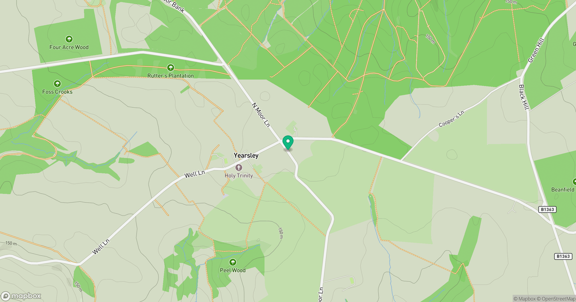
Grid reference: SE588744
View on OpenStreetMapOpens a map in a new tab, centred on the hill.
Hills within 30 km
Straight-line distance, not a walking route or confirmation of access.

No comments yet. Be the first.