Canal / Riverside
Circular
Medium
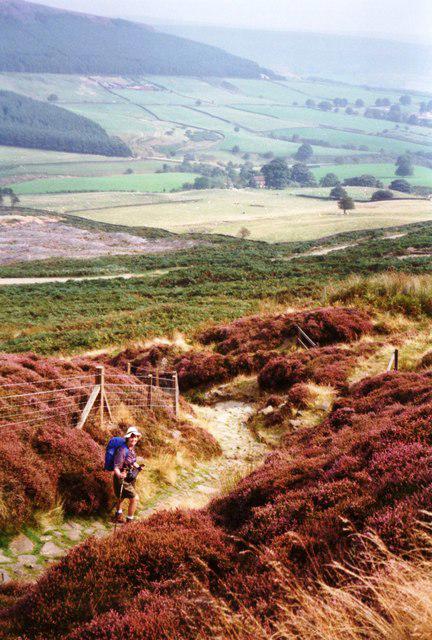
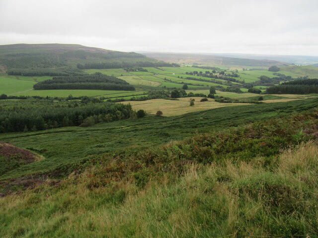
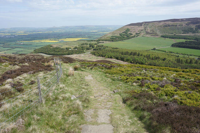
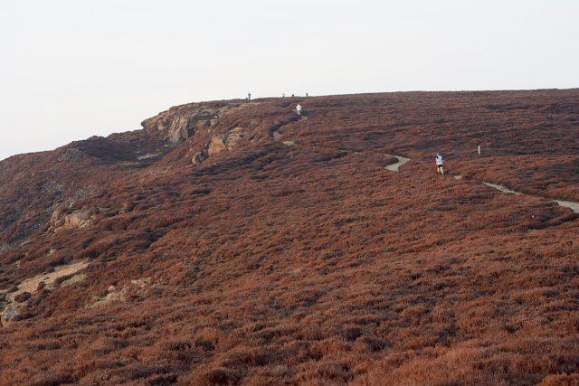
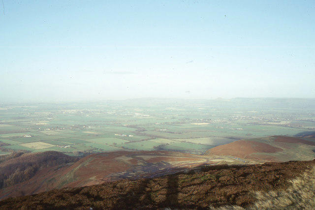
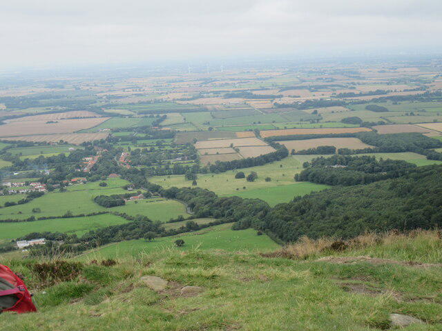
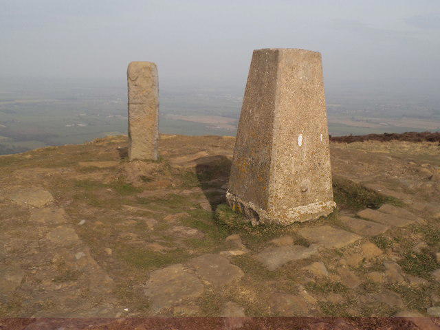
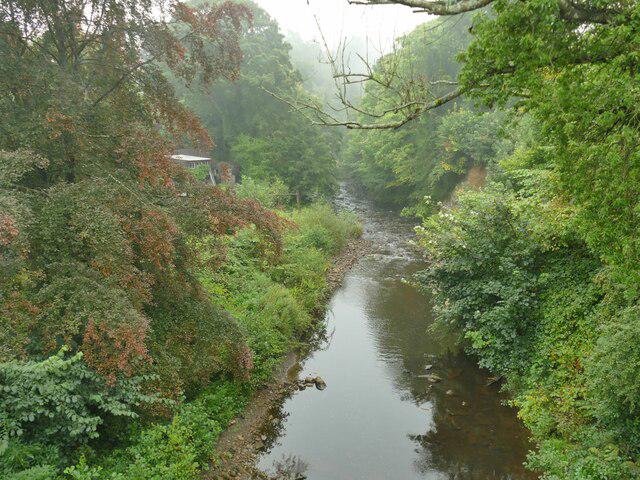
Grosmont to Beck Hole, Esk Valley Circular
PaulWalkmates
Walk organiser
No comments yet. Be the first.