

Bishop Wilton Wold
Good walks are even better shared.
SE8256 : Corner of a recently-ploughed chalky field
Christine Johnstone Photo source
Overview
Bishop Wilton Wold
Nestled in the Yorkshire Wolds, Bishop Wilton Wold is a charming hill known for its gentle slopes and picturesque views. Standing at an elevation of 192 meters, this Marilyn offers a delightful escape for walkers of all abilities.
Geology
Bishop Wilton Wold is primarily formed of chalk, a sedimentary rock that contributes to the Wolds' distinct features. This area was sculpted by glacial activities, creating the rolling landscapes we admire today. It's an open-air geology lesson, so feel free to bring your inner rock-hound!
Routes
The Bishop Wilton Trail is the most popular route, beginning in the quaint village of Bishop Wilton. Stretching approximately 5 km, this easy path weaves through lush fields and gentle hills. Family-friendly and perfect for those who fancy a leisurely stroll—dogs will enjoy it too, though they might not appreciate the uphill bits!
Summit Features
Once you reach the summit, you'll find a solid trig point standing proud—perfect for a photo op! Bring your binoculars and see if you can spot a distant landmark—after all, it's said that the view is worth a thousand words (or at least a few Instagram likes).
Terrain Type
The terrain here is primarily grassy, making for a delightful walking surface. No major rock scrambling needed, so leave the climbing gear at home.
Views
From the summit, the views stretch across the rolling hills of the Yorkshire Wolds. Notable landmarks include the village of Bishop Wilton itself and, if the weather's in a good mood, even the dramatic North York Moors in the far distance.
Best Seasons
The best time to appreciate these views is undoubtedly in spring and summer when the countryside bursts into life with wildflowers waving in the breeze.
Hazards
While the terrain is mostly forgiving, be wary of slippery patches when wet—the Yorkshire elements can be unpredictable, and we wouldn't want a muddy tumble to be the highlight of your day!
Nearby Summits
If you're feeling adventurous, nearby summits like Givendale Head and Woldgate should be on your hit list. While they may not make the headlines, they certainly add to the charm of the area.
Access
Parking
Parking can be found in the village of Bishop Wilton, and there are usually spaces available on the street. Just remember to be neighbourly and keep it tidy!
Public Transport
Those relying on public transport can catch a bus from Pocklington, which runs services connecting to York. Easy peasy!
Nearest Town
Pocklington is the closest town and boasts the usual amenities you might need before or after your adventure.
Facilities
Cafes and shops in Pocklington mean you can treat yourself to a scone and a cuppa before or after your trek. Public toilets are available too, so you can keep your walk hassle-free.
History
Name Meaning
The name 'Bishop Wilton' evokes thoughts of ecclesiastical history, suggesting that this area served as a meeting place for bishops in days gone by. Meanwhile, 'Wold' relates to the hilly terrain typical of the region.
Significance
The historical significance is tied closely to the region's agricultural roots and closeness of local communities, making it a prime spot for tranquillity-seeking adventurers.
Bishop Wilton Wold offers a delightful blend of natural beauty and historical tales. Whether you're a seasoned hiker or a family out for a stroll, this charming peak welcomes all.
Happy hiking!
Explore routes near Bishop Wilton Wold
Walks starting near this hill. Open a route to check its map, distance and full itinerary.
Pocklington Canal, Canal Head to Melbourne Arm
View route
Wheldrake Woods Woodland Circuit
View route
York to Naburn Solar System Greenway
View route
Moorlands history walk
View route
Route planning notes
These notes describe possible approaches. Check a route's map and access information when planning your walk.
Bishop Wilton Trail
A gentle ascent starting from the village of Bishop Wilton, perfect for families and casual walkers.
Make a day of it, together
Find someone to share the walk with, or organise a day out along a route you like.
Photo Gallery
View all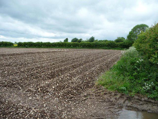 Photo could not load
SE8256 : Corner of a recently-ploughed chalky field
Christine Johnstone
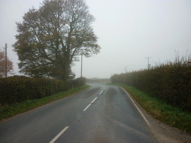 Photo could not load
SE8256 : Looking towards the A166 from a minor road
Ian S
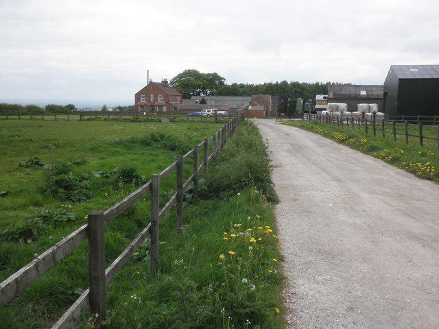 Photo could not load
SE8157 : South Wold Farm
Roger Cornfoot
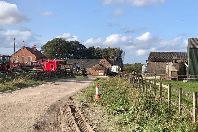 Photo could not load
SE8257 : South Wold Farm
David Dixon
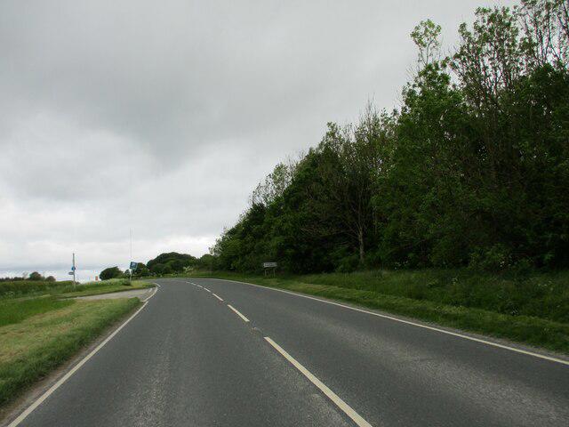 Photo could not load
SE8256 : Junction of A166 and Roman Road
Martin Dawes
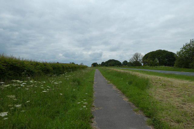 Photo could not load
SE8256 : Cycle path beside the A166
DS Pugh
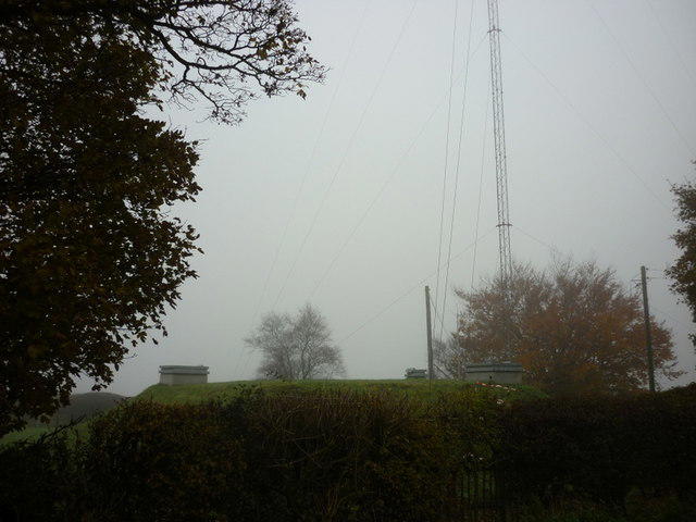 Photo could not load
SE8256 : A mast near the A166, Garrowby Street (main road)
Ian S
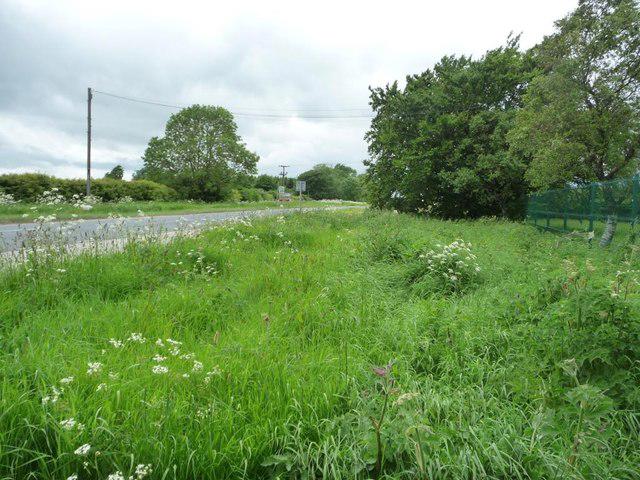 Photo could not load
SE8256 : Wide grass verge near Garrowby Reservoirs
Christine Johnstone
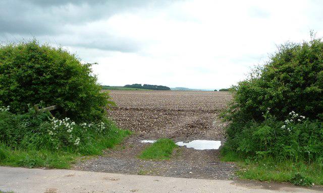 Photo could not load
SE8256 : Entrance to a chalky field
Christine Johnstone
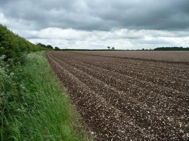
SE8256 : Northern boundary of large chalky field
Christine Johnstone
Hill facts and local notes
Classifications
Elevation
248m
813 ft
Prominence
207m
Coordinates
54.0027, -0.7477
SE821570
OS Map
106
Explorer: 294
At the Summit
The summit features a well-maintained trig point, offering a clear navigational reference and a cosy spot to rest your feet while enjoying the views.
Terrain & Geology
The Yorkshire Wolds are primarily composed of chalk, leading to interesting geological formations and rich soil. The area is characterised by hills and valleys that were shaped by glacial activity millions of years ago.
Views & Scenery
From the summit, one can see the picturesque Wolds landscape, including rolling fields and quaint villages such as Bishop Wilton. On clear days, the North York Moors can also be spotted in the distance.
History & Heritage
Name Origin
The name 'Bishop Wilton' likely derives from its original use as a camp for bishops in the early medieval period. The 'Wold' part refers to the hilly regions characteristic of the area.
Historical Significance
Historically, this area has ties to agriculture and rural community life, making it a tranquil retreat for nature lovers.
Getting There & Facilities
Parking
The nearest parking is available in the village of Bishop Wilton, where on-street parking can usually be found. Be considerate of local residents!
Public Transport
The nearest bus service is from Pocklington, which connects well to York.
Nearby Facilities
While Bishop Wilton has limited facilities, nearby Pocklington offers cafes, shops, and public toilets.
Safety Information
Known Hazards
- Although the terrain is generally easy-going, it can become slippery after rain. Watch your step on the grassy slopes!
General Safety Tips
- Check weather conditions before setting out
- Carry appropriate clothing and equipment
- Let someone know your planned route
- Take a map, compass, and GPS device
- Carry emergency supplies: food, water, first aid kit, torch
Hills
Some common questions about the hills answered
Are there group walks up Bishop Wilton Wold?
Many walkers use Walkmates to join or organise walks with others. You can check for group walks around Bishop Wilton Wold through the maps
Are there other walkers around Bishop Wilton Wold?
Activity varies by location and time, but Walkmates lets you see whether others have shared walks or shown interest in this area. Find other people through the walking friends search walking friends for Bishop Wilton Wold search or of course create your own walk for Bishop Wilton Wold
Can I organise a walk to Bishop Wilton Wold?
Yes. If there aren’t any walks listed already, you can create a walk and make it available for others to join.
If you're signed up to Walkmates, you can create a walk to Bishop Wilton Wold.
How do I find a walk up this hill?
There are often multiple ways to walk this hill, depending on experience and route preference. Walkmates helps you explore walks and routes that others have shared.
Can I suggest a new route up Bishop Wilton Wold?
Yes. You can suggest or create routes to share with others. Walkmates focuses on the social side of walking, so routes are used to help people organise walks and explore areas together, rather than as detailed navigation tools or route libraries.
Other uses really appreciate knowledgeable walkers sharing their routes. Share your favourite route to Bishop Wilton Wold here
The is an error or something incorrect about this hill. How do I let you know?
We always strive to keep the information on Walkmates as accurate as possible. If you find an error, please let us know through the contact form and we'll aim to correct it as quickly as possible
Community Discussion
Comments
Location
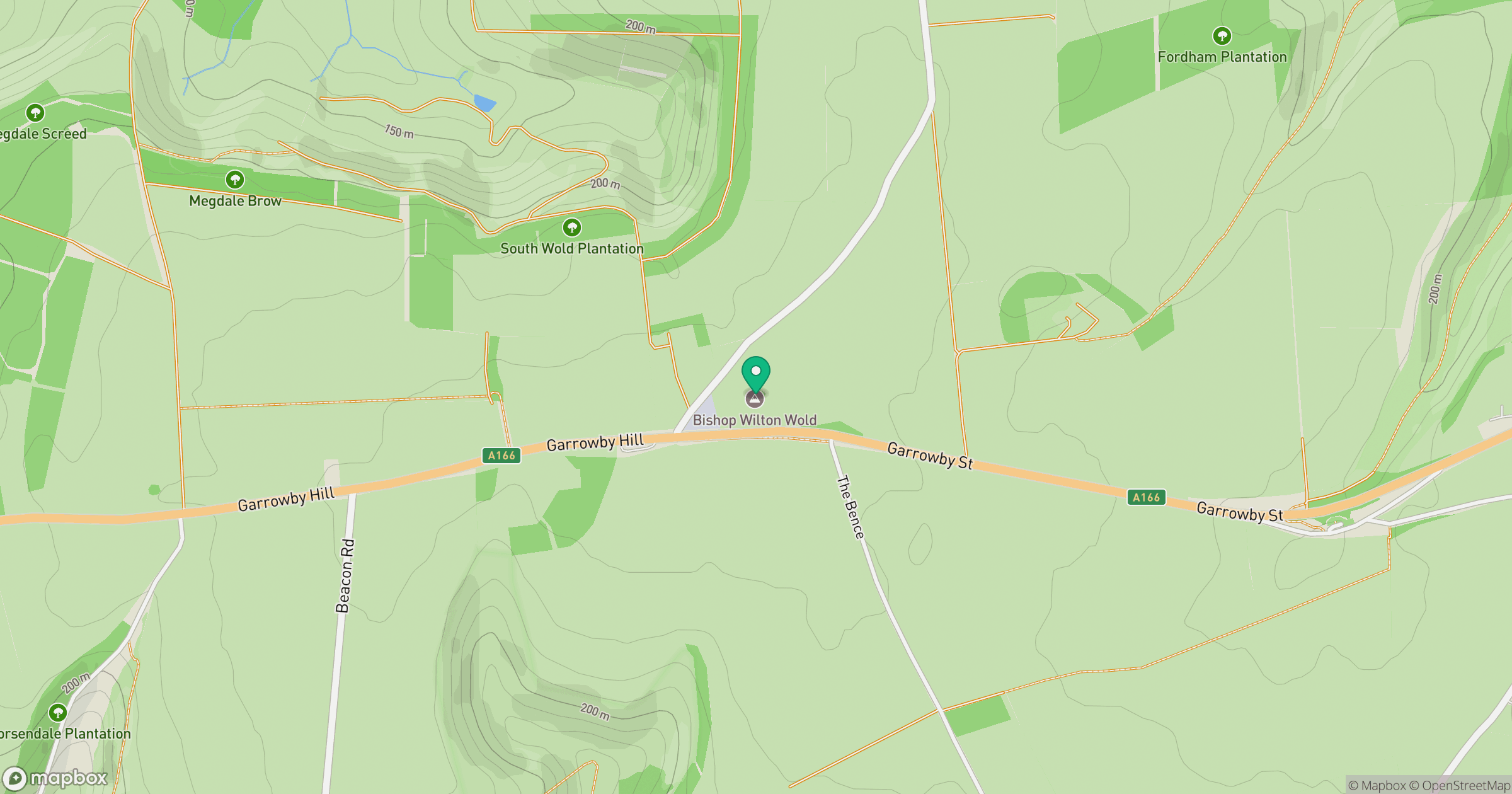
Grid reference: SE821570
View on OpenStreetMapOpens a map in a new tab, centred on the hill.
Nearby Hills
Rombalds Moor [Ilkley Moor]
402m

Kinder Scout
636m
Buckden Pike
702m
The Roaches
505m

Pen-y-ghent
694m
No comments yet. Be the first.