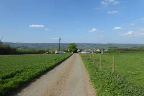
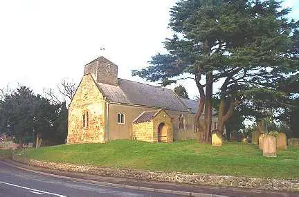
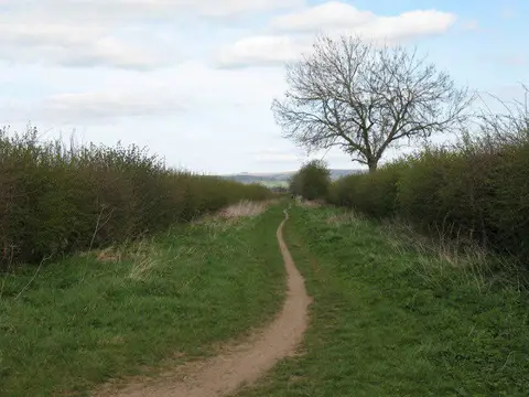
A full-day Cleveland Way walk from Sutton Bank to Osmotherley, following the western escarpment of the North York Moors before joining the old Hambleton Drove Road. The route combines far-reaching views over the Vale of Mowbray with woodland edges, open upland tracks and the descent through Oakdale. Finish in the village of Osmotherley.
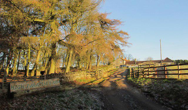
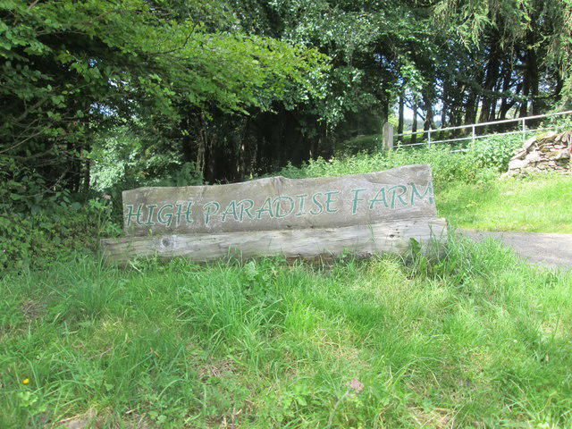
Start at the signed Cleveland Way footpath at the access-lane junction at the southern end of the western parking area at Sutton Bank National Park Centre, YO7 2EH. Follow the acorn waymarks north along the escarpment, past Whitestone Cliff and the Boltby Scar area. Stay on the National Trail through the High Paradise Farm area, then follow the broad drove road north below Black Hambleton. Take the signed descent into Oakdale and continue over the footbridges, through fields and along the narrow stone-flagged passage into Osmotherley. The recorded finish is where that public footpath meets North End, close to the village centre.
Allow about 6–7 hours including breaks for the 18.5 km one-way walk. This is a long, moderately demanding countryside day rather than a technical mountain route. Expect rough or muddy sections, exposed weather, slopes, gates and steps. Older mapping records squeeze barriers, although the current official trail overview says there are no stiles; follow the current waymarked route and do not assume barrier-free access. Wear grippy footwear and carry a map, waterproofs, food and water. Some tracks are shared with cyclists, horses or farm vehicles. Keep away from unprotected escarpment edges.
A mapped ford crosses White Gill on the drove road at 54.3317295,-1.2463894. Its depth is weather-dependent. Do not enter fast, deep or uncertain floodwater; turn back if the crossing is unsafe. Later watercourses are crossed on mapped footbridges. There is no verified all-weather bypass of the White Gill ford in this packet.
This is a linear route: arrange your return before setting off. A pre-arranged pickup in Osmotherley or a booked taxi back to Sutton Bank is the practical plan. Confirm the exact pickup point, availability and fare directly with your provider. The 2026 Moorsbus season has finished; do not depend on a same-day seasonal bus. Village cafés, pubs and toilets are nearby, but their opening hours are not guaranteed.
Sutton Bank parking was £3.90 for up to 2 hours or £6.20 for longer at the source check. Payment is by card/contactless or PayByPhone, with reception payment when open. Allow time for your return to the car. Car-park gate hours were not specified in the authority's page; the visitor centre's hours are not parking-access hours. Follow signs on arrival. Keep dogs close and on a short lead around livestock, and on moorland between 1 March and 31 July. Follow any current access or fire-warning notices.
Start early enough to finish in daylight, allowing for a possible retreat at White Gill and the return transfer to Sutton Bank.
Route geometry: © OpenStreetMap contributors, licensed under the Open Database Licence (ODbL) 1.0. https://www.openstreetmap.org/copyright