Start at Coxwold Village Hall car park on Byland Road, YO61 4BB. The village guide welcomes a £2 parking donation; check the notices on arrival and keep access clear. Public toilets are beside the hall.
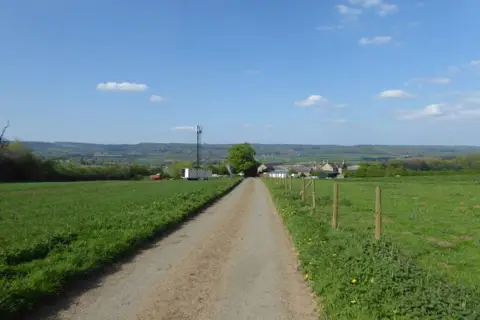
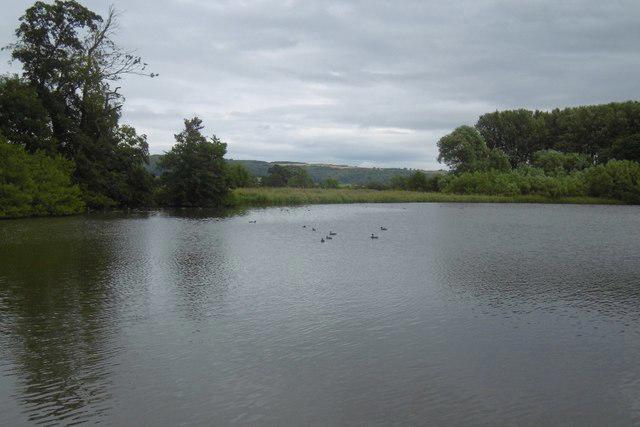
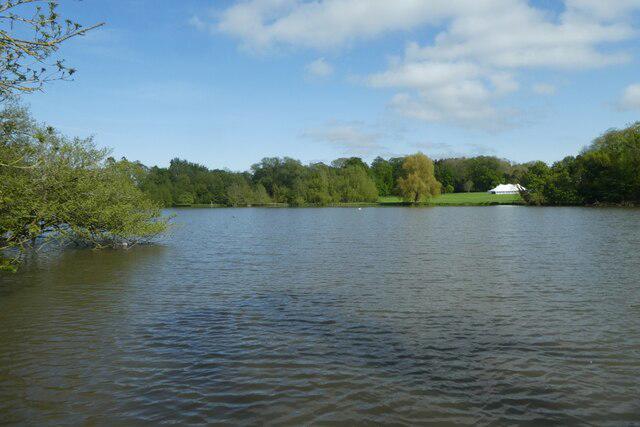
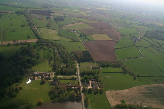
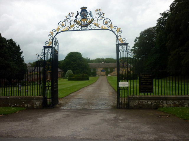
Follow the village street to the crossroads, turn towards Oulston and cross the bridge over the former railway. Continue past Newburgh Priory pond, then take the lane on the right beyond the priory entrance. Stay on the lane climbing past High Leys and turn right onto the signed bridleway towards Beacon Banks. The ridge path gives open farmland views before descending on the lane into Husthwaite. Turn right at the road, then left at the junction and continue along High Street to the church.
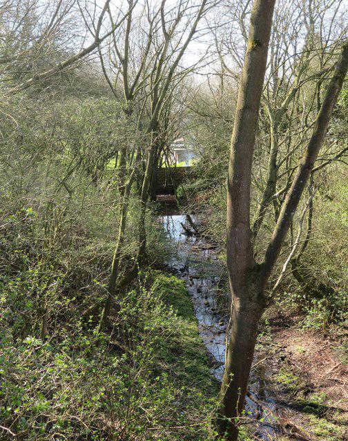
Take the footpath beside the church, through the gardens and fields to Elphin Bridge Lane. Turn left, cross the beck and former railway, then continue along the lane to the track into Angram Hall Farm. This uses the lane approach given as an alternative in the village guide. Follow the public path through the farm and east uphill. At the ridge junction, turn right towards Coxwold, keeping to the field path, then descend to the road by Shandy Hall. Follow the village street back to the crossroads and turn left for the hall.
Allow about 3 hours 15 minutes for this 8.7 km circuit. There are steady climbs, field paths, gates and stiles, with sections that can become muddy or boggy. Several country lanes have no continuous pavement, so take care with traffic, particularly on bends and at the railway bridge. Keep dogs under close control around livestock. Refreshments are available in the villages, but check opening times.
Route source: Coxwold Village, Walks Around Coxwold, Walk 4: Beacon Banks and Husthwaite. Current North Yorkshire Council rights-of-way mapping and council and North York Moors access notices were checked on 4 October 2026. Carry the published guide and a suitable map, and follow any notices encountered on the day.