PointToPoint
Easy
Richmond Yorkshire
SheenaC
Walk organiser
Black Hambleton Group Walks | Join a Walk
Join group walks, find walking companions and friends, or organise your own!
Don't walk alone! Find friendly walkers to explore Black Hambleton together. Join scheduled group walks or start your own.
Elevation
400m
1,312 ft
Prominence
114m
Coordinates
54.3447, -1.2609
SE481946
OS Map
100
Explorer: OL26S
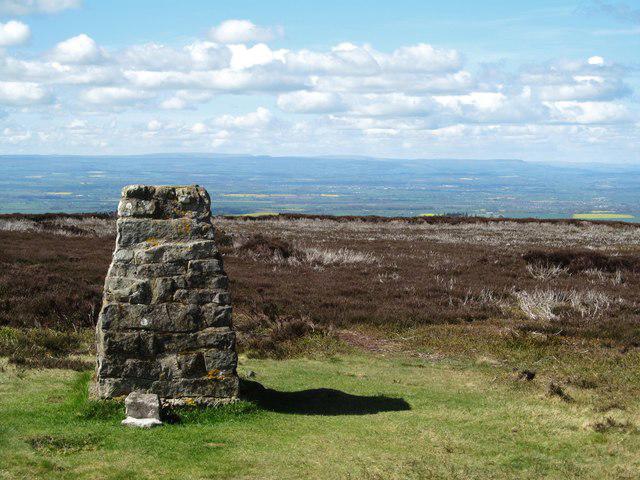
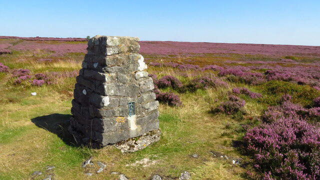
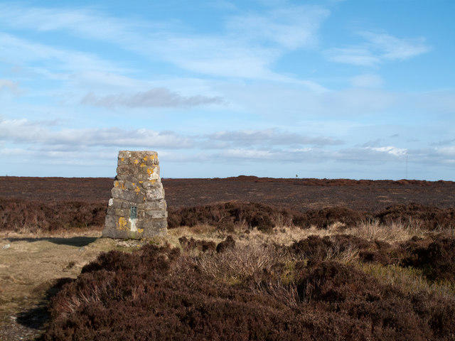
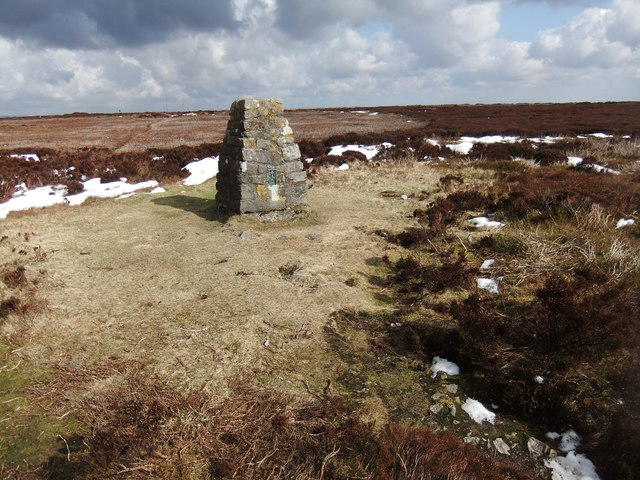
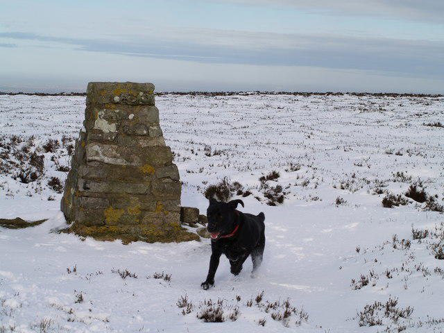
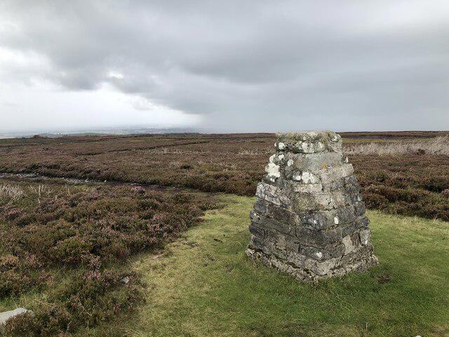
The summit features a prominent cairn and offers a trig point with a panoramic view, making it a popular photo spot for hikers.
Black Hambleton is primarily composed of sandstone, with remnants of glacial activity shaping its present form. The underlying geology dates back to the Jurassic period, providing a fascinating glimpse into Earth's ancient history.
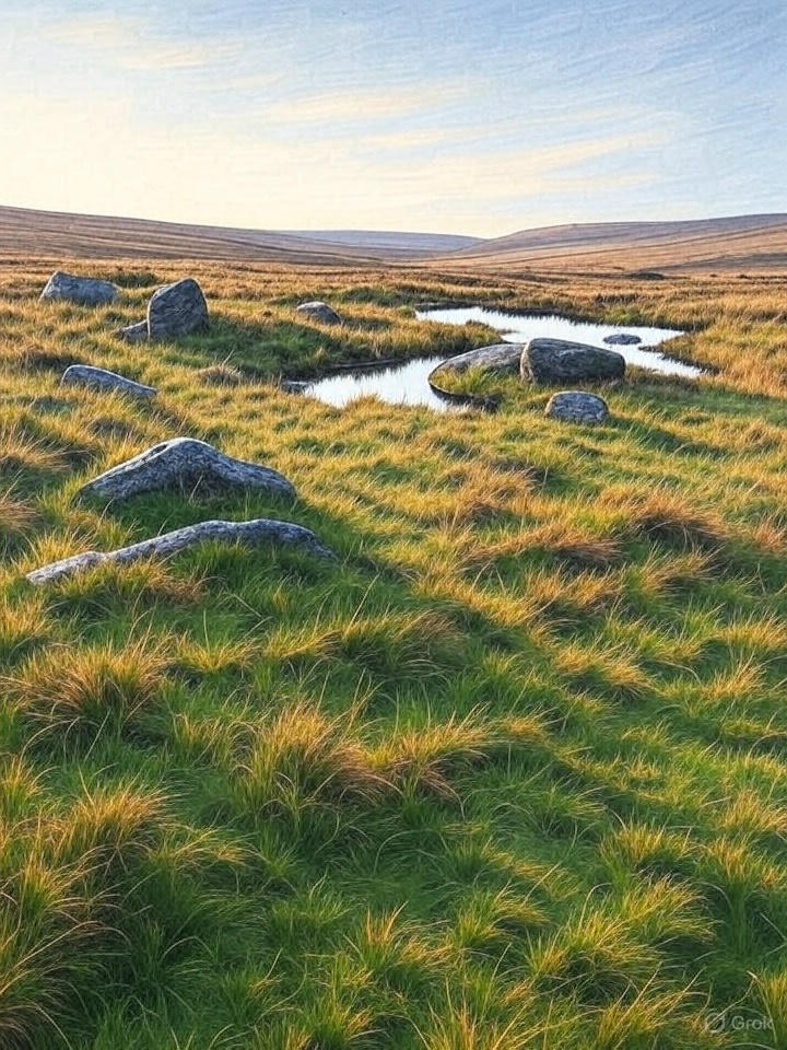
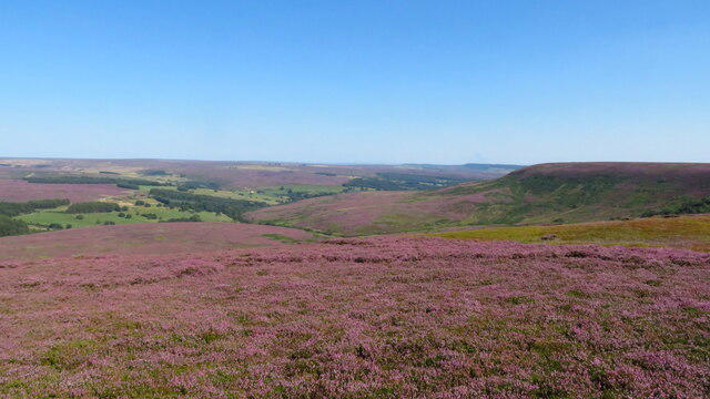
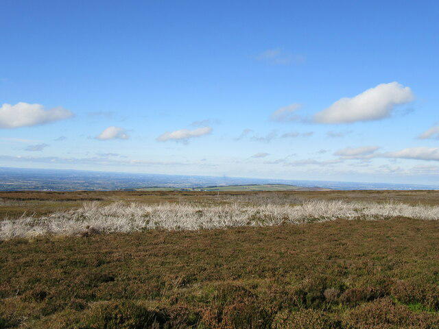
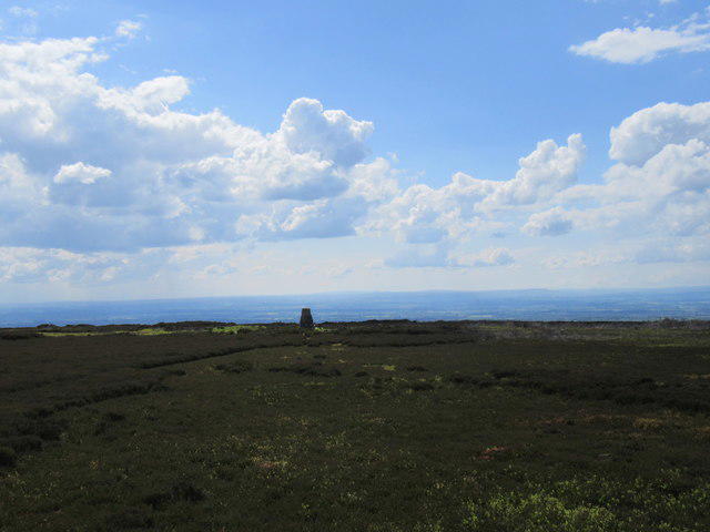
From the summit, you can catch stunning views of the North York Moors, Lake Gormire, and on clear days, even the distant Yorkshire Dales.
The name 'Hambleton' is thought to derive from Old Norse, meaning 'the hill of the hamble'—referring to its elevated stature.
Black Hambleton has a long-standing connection with local folklore and was historically significant as a lookout point during the Roman era.
This scenic route starts from the northeast, following the Hambleton Drove Road which leads directly to the summit.
There is a small parking area at the top of the Hambleton Drove Road. Spaces are limited, so arrive early!
The nearest public transport option is the bus service to nearby Thirsk, followed by a taxi or a long walk to the trailhead.
Osmotherley provides a few cafes and pubs, as well as public toilets, making it a pleasant stop before or after your hike.
Join friendly walkers exploring Black Hambleton and surrounding area
More walks starting close to this area
Create a walk and let others join you. It's free and easy!
Some common questions about the hills answered
Many walkers use Walkmates to join or organise walks with others. You can check for group walks around Black Hambleton through the maps
Activity varies by location and time, but Walkmates lets you see whether others have shared walks or shown interest in this area. Find other people through the walking friends search walking friends for Black Hambleton search or of course create your own walk for Black Hambleton
Yes. If there aren’t any walks listed already, you can create a walk and make it available for others to join.
If you're signed up to Walkmates, you can create a walk to Black Hambleton.
There are often multiple ways to walk this hill, depending on experience and route preference. Walkmates helps you explore walks and routes that others have shared.
Yes. You can suggest or create routes to share with others. Walkmates focuses on the social side of walking, so routes are used to help people organise walks and explore areas together, rather than as detailed navigation tools or route libraries.
Other uses really appreciate knowledgeable walkers sharing their routes. Share your favourite route to Black Hambleton here
We always strive to keep the information on Walkmates as accurate as possible. If you find an error, please let us know through the contact form and we'll aim to correct it as quickly as possible
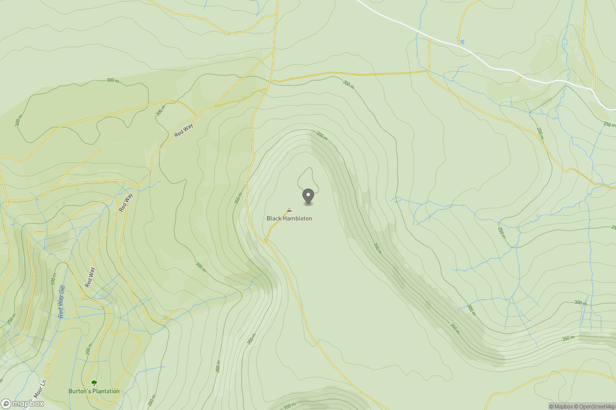
Grid Ref: SE481946
Rombalds Moor [Ilkley Moor]
402m
Buckden Pike
702m
Pen-y-ghent
694m
Nine Standards Rigg
662m
Kinder Scout
636m
+ 5 more nearby hills
Find more walking companions in the area
No comments yet. Be the first.