

Y Domen Fawr
Good walks are even better shared.
Overview
Y Domen Fawr: A Hidden Gem in the Brecon Beacons
Nestled within the scenic confines of the Brecon Beacons National Park, Y Domen Fawr offers a modest ascent for those keen to sample Welsh beauty without tackling the more daunting peaks. At an elevation of 457 meters, it may not rank amongst the giants, but the views from its summit are nothing short of spectacular.
Geology
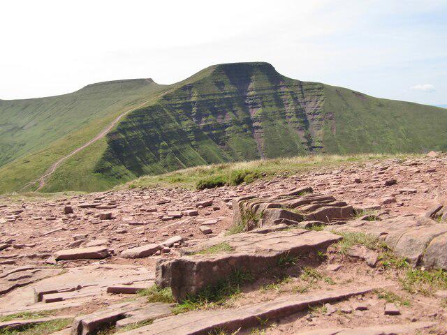
Y Domen Fawr is primarily composed of sedimentary rocks dating back to the Old Red Sandstone period. This rocky treasure trove showcases the geological history of the area. Those interested in geology will find the diverse formations and glacial remnants particularly engaging. If you’re lucky, you might stumble upon fossils that whisper secrets of ancient environments.
Access and Parking
Accessing Y Domen Fawr is straightforward. The nearest car park is located at SO 166 072 and accommodates about a dozen vehicles. It’s a perfect starting point for your adventure. The vibrant town of Brecon is the nearest larger settlement, approximately 6 miles away. For those relying on public transport, regular bus services from Brecon and Merthyr Tydfil can whisk you close to your destination, followed by a pleasant stroll.
The Route
The most popular route is the Mountain Road Trail, a delightful 4.5 km trek that is generally regarded as moderate in difficulty. Expect an agreeable climb, revealing stunning panoramas as you ascend through lush valleys and open moorland. Be prepared for a bit of mud, especially after rain - a conscientious reminder that nature has no sense of decorum!
Summit Features
The summit boasts a recognizable cairn that makes for a great photo opportunity (or a lively game of 'who can make the tallest rock stack'). It’s also a perfect spot for a picnic, assuming you’re not too breathless from the climb!
Terrain and Views
The terrain is largely grassy interspersed with rocky outcrops, providing a varied walking experience. The views from the top are absolutely stunning. You’ll be treated to sweeping vistas of the Brecon Beacons, including the striking Pen y Fan to the north. On a clear day, the glistening waters of Llangorse Lake can be seen shimmering in the distance, serving as a sparkling reminder of Wales’s natural beauty.
Hazards
While Y Domen Fawr is accessible to many, it is essential to remain cautious. Muddy sections can be deceptively slippery, particularly post-rain. In winter, ensure proper attire as winds can pick up and snow can render paths less distinct.
Conclusion
Y Domen Fawr may not be the highest peak in Wales, but it’s a brilliant spot for hikers looking to enjoy the great outdoors with a moderate challenge. Whether you’re after a leisurely ramble or a proper trek, this mountain has something to offer everyone. So lace up your boots, pack a snack (or two), and hit the hills!
Get ready for breathtaking views and a sprinkle of Welsh charm,
Last Updated: 2023-10-01
Explore routes near Y Domen Fawr
Public walks starting within 80 km of this hill. Nearby does not mean a route reaches the summit; check its map and access before setting out.
Merthyr Tydfil with Men Walking & Talking
View route
A Very Merry Winter Walk ending with Cake & a Hot Drink!
View route
Goytre Wharf to Pentre Bridge: Mon and Brec Canal Walk
View route
Clytha Estate: River Usk, Chapel Ruins and Castle Woods
View route
Route planning notes
These notes describe possible approaches, not verified navigable routes or permission to cross land. Check current paths, local access rules and conditions before setting out.
Mountain Road Trail
A scenic trail starting from the car park at the foot of the hill, this route weaves through lush valleys and gradually ascends to the summit.
Make a day of it, together
Find someone to share the walk with, or organise a day out along a route you like.
Photo Gallery
View all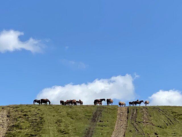 Photo could not load
SO1607 : Wild horses on the skyline
Alan Hughes
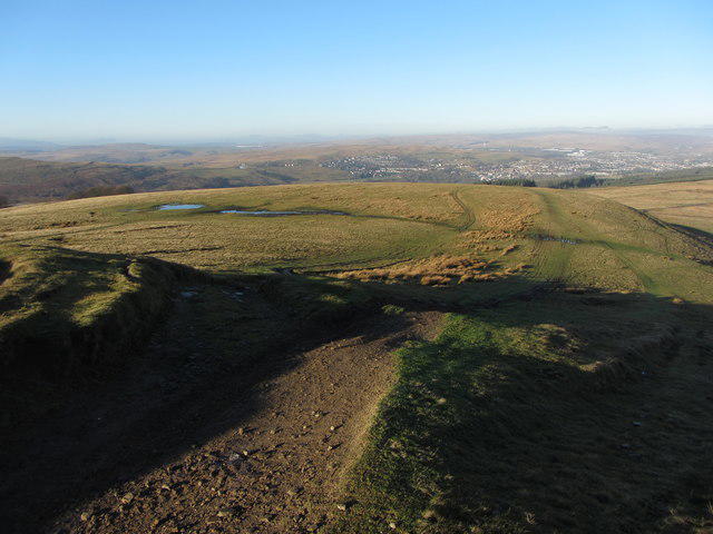 Photo could not load
SO1607 : View north from Y Domen Fawr
Gareth James
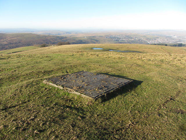 Photo could not load
SO1607 : Old concrete foundation on Y Domen Fawr
Gareth James
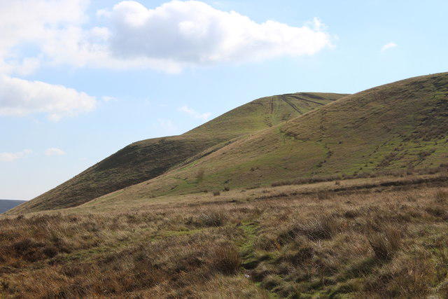 Photo could not load
SO1607 : Y Domen Fawr, Manmoel Common
M J Roscoe
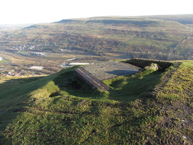 Photo could not load
SO1607 : Old foundations on Y Domen Fawr
Gareth James
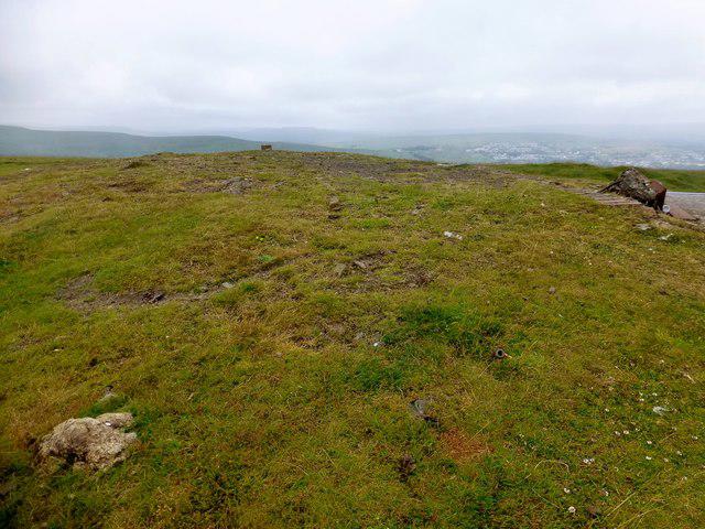 Photo could not load
SO1607 : Y Domen Fawr
Rude Health
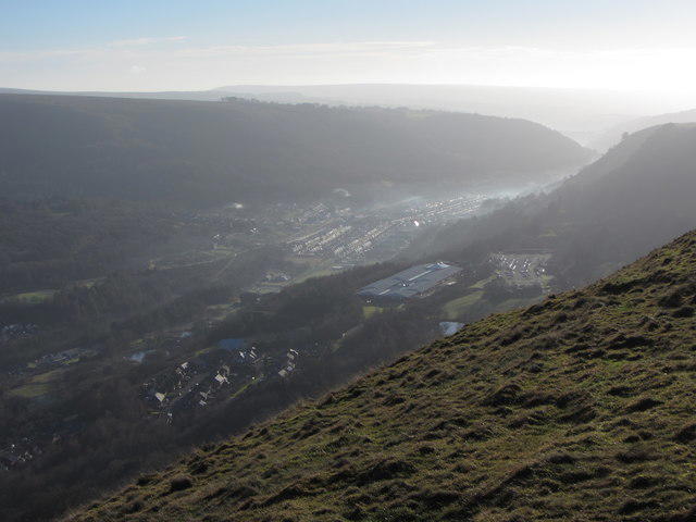 Photo could not load
SO1607 : View SE from Y Domen Fawr
Gareth James
Hill facts and local notes
Classifications
Elevation
504m
1,654 ft
Prominence
135m
Coordinates
51.7570, -3.2096
SO166071
OS Map
161
Explorer: OL13S 166E
At the Summit
The summit is crowned with a prominent cairn, which serves both as a marker and a great spot for a cheery picnic – provided the wind permits.
Terrain & Geology
Y Domen Fawr is primarily composed of sedimentary rocks from the Old Red Sandstone period, making it an interesting study for geology enthusiasts. The area showcases a blend of sandstone with features shaped by glacial activity.
Views & Scenery
From the summit, enjoy sweeping views of the Brecon Beacons, including Pen y Fan and the distant Black Mountains. On a clear day, you might even spot the glimmering waters of Llangorse Lake.
History & Heritage
Name Origin
The name 'Y Domen Fawr' translates to 'The Great Tumulus', likely referencing the burial mounds found in the area. A nod to the historical relevance of this serene landscape.
Historical Significance
Y Domen Fawr has long been a site of interest for both local historians and archaeologists, reflecting the rich cultural tapestry of the region.
Getting There & Facilities
Check current local access restrictions, parking rules and transport timetables before travelling. These notes do not confirm public access to the summit.
Parking
There's a small car park located at SO 166 072, accommodating around a dozen vehicles, making it just about perfect for a weekend dash into the hills.
Public Transport
Regular bus services run to nearby towns like Brecon and Merthyr Tydfil. From there, it's a short taxi ride or a leisurely walk to the trailhead.
Nearby Facilities
Brecon offers a range of facilities including cafés, restaurants, and public toilets. Perfect to refuel before or after your hiking adventures!
Safety Information
Known Hazards
- Muddy patches can be slippery, especially after rainfall. Be cautious and wear proper footwear. In winter months, snow and icy conditions may obscure pathways.
General Safety Tips
- Check weather conditions before setting out
- Carry appropriate clothing and equipment
- Let someone know your planned route
- Take a map, compass, and GPS device
- Carry emergency supplies: food, water, first aid kit, torch
Hills
Some common questions about the hills answered
Are there group walks up Y Domen Fawr?
Many walkers use Walkmates to join or organise walks with others. You can check for group walks around Y Domen Fawr through the maps
Are there other walkers around Y Domen Fawr?
Activity varies by location and time, but Walkmates lets you see whether others have shared walks or shown interest in this area. Find other people through the walking friends search walking friends for Y Domen Fawr search or of course create your own walk for Y Domen Fawr
Can I organise a walk to Y Domen Fawr?
Yes. If there aren’t any walks listed already, you can create a walk and make it available for others to join.
If you're signed up to Walkmates, you can create a walk to Y Domen Fawr.
How do I find a walk up this hill?
There are often multiple ways to walk this hill, depending on experience and route preference. Walkmates helps you explore walks and routes that others have shared.
Can I suggest a new route up Y Domen Fawr?
Yes. You can suggest or create routes to share with others. Walkmates focuses on the social side of walking, so routes are used to help people organise walks and explore areas together, rather than as detailed navigation tools or route libraries.
Other uses really appreciate knowledgeable walkers sharing their routes. Share your favourite route to Y Domen Fawr here
The is an error or something incorrect about this hill. How do I let you know?
We always strive to keep the information on Walkmates as accurate as possible. If you find an error, please let us know through the contact form and we'll aim to correct it as quickly as possible
Community Discussion
Comments
Location
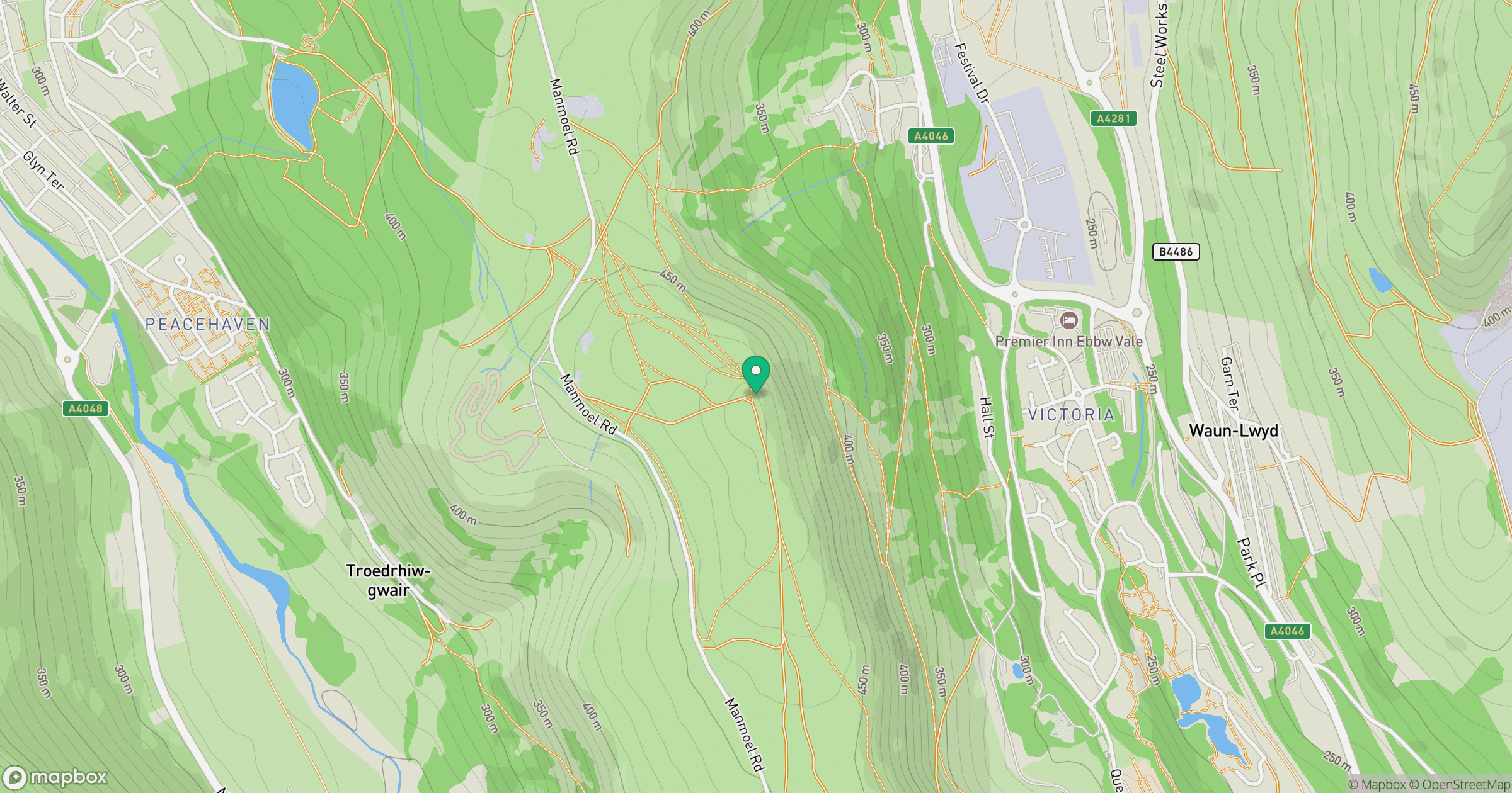
Grid reference: SO166071
View on OpenStreetMapOpens a map in a new tab, centred on the hill.
Hills within 30 km
Straight-line distance, not a walking route or confirmation of access.
Cribyn
794m
Pen y Fan
886m
Mynydd Bedwellte
486m
Mynydd Carn-y-cefn
550m
Coety Mountain [Coity Mountain] [Mynydd Coety]
576m
No comments yet. Be the first.