

Wincobank Hill
Good walks are even better shared.
SK3790 : Wincobank - Fort
Dave Bevis Photo source
Overview
Wincobank Hill
Welcome to Wincobank Hill, a delightful little Marilyn located in the heart of South Yorkshire. Standing at a summit elevation of 128 meters, this hill might not challenge your climbing prowess, but it’s packed with charm and stunning views that will make you feel on top of the world.
Geology
Wincobank is a geologist’s playground, primarily made of Carboniferous sandstone. If you're keen on fossils, a keen eye might just reward you with a glimpse of ancient history embedded in the rock. Remember, what you find here is best left for others to discover!
Routes
One of the most popular activities is the Wincobank Hill Circular Walk. This 4.5 km route takes you through picturesque woodland and rolling grassy hills. In about 1.5 hours, you’ll find yourself back where you started, hopefully with a few photos to share!
Summit Features
At the summit, you’ll spot a trig point that not only serves as a map reference point but also makes for an excellent backdrop for your hiking selfies. This is the perfect spot to catch your breath and soak in the spectacular views.
Terrain Type
The terrain can be described as grassy with rocky outcrops. While most paths are easily navigable, watch your step—you don’t want to trip over your own feet while trying to impress your hiking buddies!
Views
The panoramic views from the top are nothing short of spectacular. You can see Sheffield sprawled out to the south and the majestic peaks of the Peak District looming to the northwest. Best of all, spring and autumn sprinkle a vivid palette across the landscape, offering the best backdrop for those Instagram posts.
Hazards
While Wincobank Hill is generally a safe bet for walkers, do mind the uneven ground and steep drop-offs in certain places. It’s not a steep climb, but let’s just say it demands a little respect!
Nearby Summits
If you’re keen to extend your trek, consider heading to Shirebrook Valley Hill, which sits at an elevation of 198 meters. It’s another gem in the area!
Access
To get to Wincobank Hill:
- Nearest Parking: There’s a small parking area on Wincobank Avenue, but be sure to arrive early—good spots are as elusive as a well-behaved dog on a hike!
- Public Transport: Buses frequently run from Sheffield city centre and are a solid option, with the nearest stop a short stroll away.
- Nearest Town: Hop over to Sheffield for a post-walk pint!
Facilities
After your adventure, pop into one of the local pubs or cafes for a well-deserved meal. Fuel up before or after your hike!
History
The etymology of the name Wincobank stems from Anglo-Saxon roots, specifically 'winc,' suggesting a place of viewing or bending, hinting at its significance as a lookout point in earlier times. The hill holds cultural weight too, having ancient Iron Age remains atop the peak.
So, whether you're a local looking for a quick jaunt or a visitor seeking a pleasant stroll with spectacular views, Wincobank Hill has something for everyone. Don’t forget to pack your camera!
Happy hiking!
Explore routes near Wincobank Hill
Walks starting near this hill. Open a route to check its map, distance and full itinerary.
Norfolk Heritage Park Avenues
View route
Wharncliffe Woods Plank Gate Return
View route
Endcliffe Park Mi Amigo Crash Site and Porter Brook
View route
Graves Park Lakes and Meadows
View route
Route planning notes
These notes describe possible approaches. Check a route's map and access information when planning your walk.
Wincobank Hill Circular Walk
A delightful circular route that takes you around the hill, providing a mix of wooded paths and open grasslands.
Make a day of it, together
Find someone to share the walk with, or organise a day out along a route you like.
Photo Gallery
View all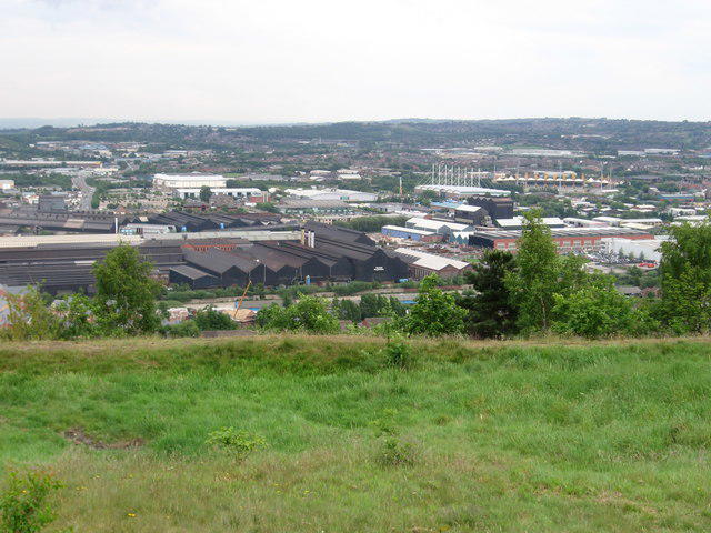 Photo could not load
SK3790 : Wincobank - Fort
Dave Bevis
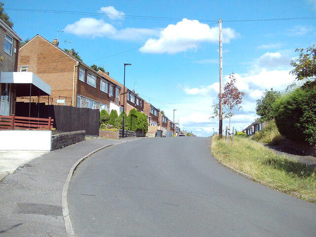 Photo could not load
SK3790 : Fort Hill Road, Wincobank (2)
Richard Vince
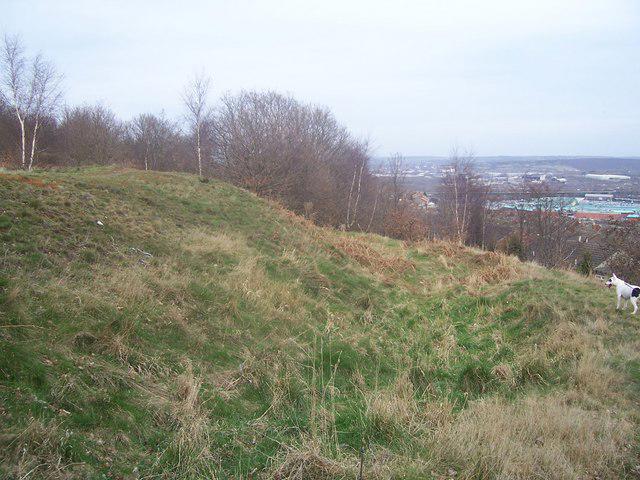 Photo could not load
SK3790 : Wincobank Hill Fort
Martin Speck
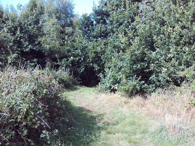 Photo could not load
SK3791 : Public footpath to Hyacinth Close, Wincobank
Richard Vince
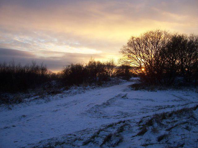 Photo could not load
SK3791 : Winco Wood Lane in Winter
Martin Speck
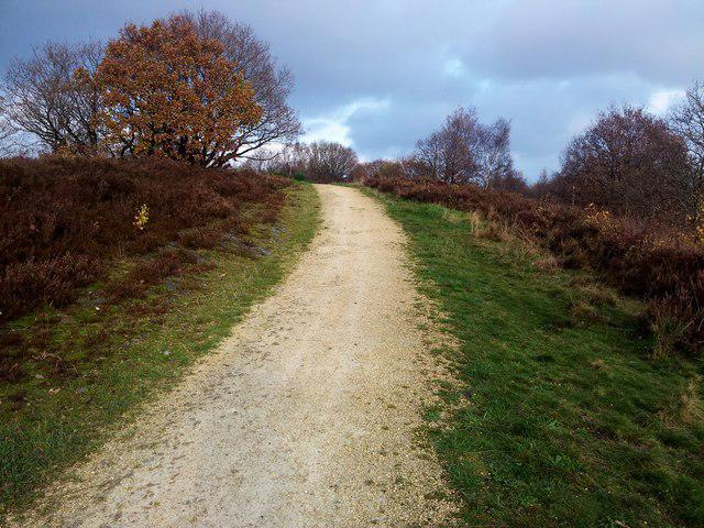 Photo could not load
SK3791 : Wincobank, Iron Age Fort
Rude Health
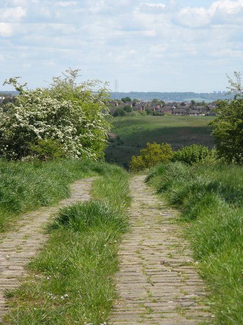 Photo could not load
SK3791 : Roman Road
Dave Pickersgill
Hill facts and local notes
Classifications
Elevation
161m
528 ft
Prominence
38m
Coordinates
53.4145, -1.4343
SK377910
OS Map
110 111
Explorer: 278S
At the Summit
The summit is marked by a small trig point, offering a cosy spot for a selfie, along with a stunning view of the city below.
Terrain & Geology
Primarily composed of Carboniferous sandstone, Wincobank Hill displays fascinating geological formations that tell the story of ancient environments. You might even find some fossils if you keep your eyes peeled!
Views & Scenery
On a clear day, you can see the city of Sheffield to the south and the stunning peaks of the Peak District to the northwest. It's a bit of an eye candy feast!
History & Heritage
Name Origin
The name 'Wincobank' is believed to derive from the Anglo-Saxon 'winc' meaning 'to bend' or 'to view', reflecting its position as a former lookout point.
Historical Significance
Wincobank Hill has historical significance dating back to the Iron Age, with remains of a hill fort present at the summit.
Getting There & Facilities
Parking
There is a small parking area on Wincobank Avenue, which can fit around 5-6 cars. Arrive early to nab a spot!
Public Transport
Buses run regularly from Sheffield city centre. The nearest bus stop is just a short walk from the hill.
Nearby Facilities
Nearby facilities include local pubs and cafes in the surrounding areas, making it easy to grab a bite after your hike.
Safety Information
Known Hazards
- Uneven ground and steep drop-offs in places, so keep your wits about you.
General Safety Tips
- Check weather conditions before setting out
- Carry appropriate clothing and equipment
- Let someone know your planned route
- Take a map, compass, and GPS device
- Carry emergency supplies: food, water, first aid kit, torch
Hills
Some common questions about the hills answered
Are there group walks up Wincobank Hill?
Many walkers use Walkmates to join or organise walks with others. You can check for group walks around Wincobank Hill through the maps
Are there other walkers around Wincobank Hill?
Activity varies by location and time, but Walkmates lets you see whether others have shared walks or shown interest in this area. Find other people through the walking friends search walking friends for Wincobank Hill search or of course create your own walk for Wincobank Hill
Can I organise a walk to Wincobank Hill?
Yes. If there aren’t any walks listed already, you can create a walk and make it available for others to join.
If you're signed up to Walkmates, you can create a walk to Wincobank Hill.
How do I find a walk up this hill?
There are often multiple ways to walk this hill, depending on experience and route preference. Walkmates helps you explore walks and routes that others have shared.
Can I suggest a new route up Wincobank Hill?
Yes. You can suggest or create routes to share with others. Walkmates focuses on the social side of walking, so routes are used to help people organise walks and explore areas together, rather than as detailed navigation tools or route libraries.
Other uses really appreciate knowledgeable walkers sharing their routes. Share your favourite route to Wincobank Hill here
The is an error or something incorrect about this hill. How do I let you know?
We always strive to keep the information on Walkmates as accurate as possible. If you find an error, please let us know through the contact form and we'll aim to correct it as quickly as possible
Community Discussion
Comments
Location
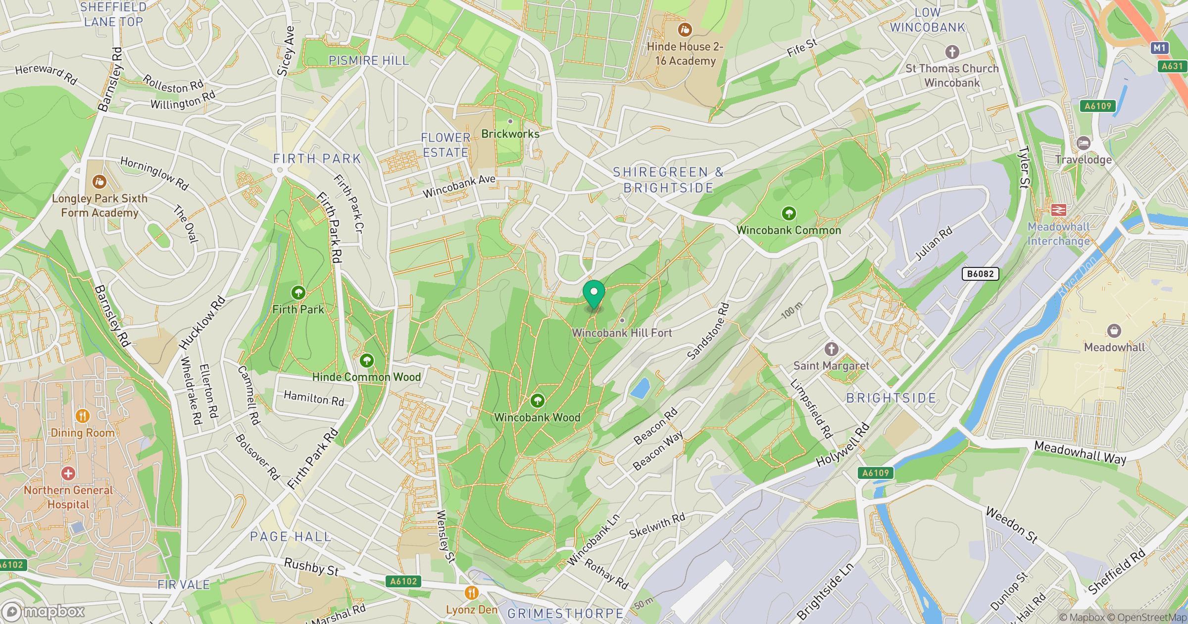
Grid reference: SK377910
View on OpenStreetMapOpens a map in a new tab, centred on the hill.
Nearby Hills

Kinder Scout
636m
The Roaches
505m
Rombalds Moor [Ilkley Moor]
402m

Pendle Hill
557m
Buckden Pike
702m
No comments yet. Be the first.