

Willingdon Hill
Good walks are even better shared.
Overview
Willingdon Hill
Welcome to Willingdon Hill, a delightful bump on the landscape of the South Downs, residing gracefully at 162 meters above sea level. Not the tallest of hills, but definitely one for the books!
Geography and Geology
Willingdon Hill is primarily composed of chalk and flint, typical of the South Downs region, which offers fascinating insights into the area's geological history formed during the late Cretaceous period. Feel free to bring your geologist hat and start looking for fossils (just don’t disturb anything valuable, please!).
Hiking Routes
There are several delightful routes to the summit, with the Willingdon Hill Loop being a popular choice. This six-and-a-half-kilometre loop meanders through lush countryside and offers enchanting views along the way. Alternatively, you can trek straight up from Eastbourne on the Eastbourne to Willingdon Hill Trail, a straightforward and enjoyable hike—perfect for a quick jaunt.
Summit Features
The summit features an iconic trig point, standing proud and true, making it an ideal resting spot and photo op. Wildflowers sprinkle the area in spring, adding a splash of colour to the chalky landscape.
Terrain Type
The terrain is primarily grassy with some chalky paths. Watch out for the rocky bits; they tend to trip up the unwary!
Views
Once you've caught your breath at the summit, don’t forget to take in the views! You will be greeted with stunning sights of the English Channel and the famed Seven Sisters cliffs, which could be mistaken for a painting if you squint just right. The best seasons for this view? Spring and autumn when the weather is as mild as your grandma making Sunday dinner.
Hazards
Be cautious! Sudden weather changes can cloak the hill in mist quicker than you can say 'where did I put my walking stick?' Also, keep a safe distance from steep edges, especially on the eastern side—nobody wants a surprise tumble!
Nearby Summits
Willingdon Hill is not alone! You’ll find nearby Hightown Hill (155 meters) and Mount Caburn (190 meters) waiting for your adventurous feet.
Access
Getting to Willingdon Hill is a doddle! Nearest parking can be found in Eastbourne on Grand Parade, with public transport services regularly flitting about from London and Brighton to Eastbourne railway station.
Facilities
In Eastbourne, you'll be spoilt for choice with cafes, pubs, and nearby public toilets—as a hiker, these are essential for comfort!
History
What does the name Willingdon mean? In Old English, it means 'Willa's Hill'. Furthermore, archaeological finds in the area hint at a rich history of human habitation, making it significant not just for nature lovers, but also history buffs.
In conclusion, whether you're there for the views, the geology, or simply to stretch your legs, Willingdon Hill is a little gem worth exploring!
Happy hiking! Watch your step and enjoy the wonders of nature!
Explore routes near Willingdon Hill
Public walks starting within 80 km of this hill. Nearby does not mean a route reaches the summit; check its map and access before setting out.
Seven Sisters Birling Gap and Friston Forest Circular
View route
Hellingly to Horam: Cuckoo Trail railway bridges and old station return
View route
Cuckoo Trail: Heathfield to Polegate Station
View route
Hastings Walk with Men Walking & Talking
View route
Route planning notes
These notes describe possible approaches, not verified navigable routes or permission to cross land. Check current paths, local access rules and conditions before setting out.
Willingdon Hill Loop
A scenic loop starting from Eastbourne, providing panoramic views along the way.
Eastbourne to Willingdon Hill Trail
A direct route from Eastbourne to the summit, traversing through lush greenery and open fields.
Make a day of it, together
Find someone to share the walk with, or organise a day out along a route you like.
Photo Gallery
View all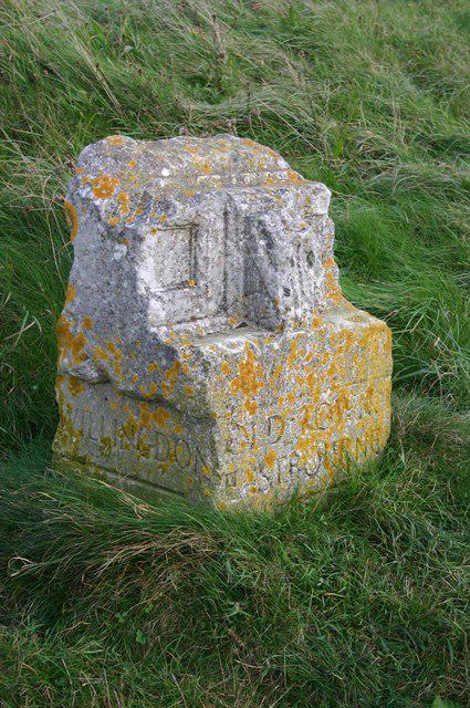 Photo could not load
TQ5700 : Waymarker on Willingdon Hill
Peter Jeffery
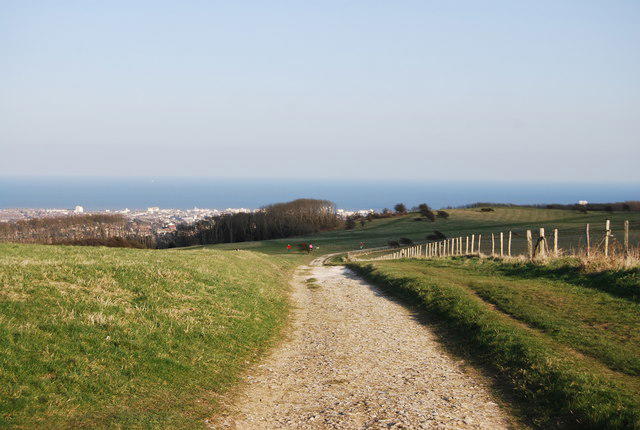 Photo could not load
TQ5700 : The South Downs Way, Bourne Hill
N Chadwick
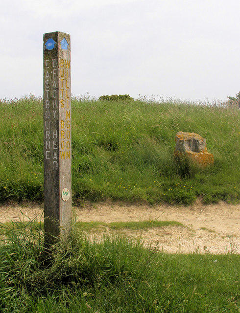 Photo could not load
TQ5700 : Signposts - Ancient & Modern, Bourne Hill, above Eastbourne East Sussex
Kevin Gordon
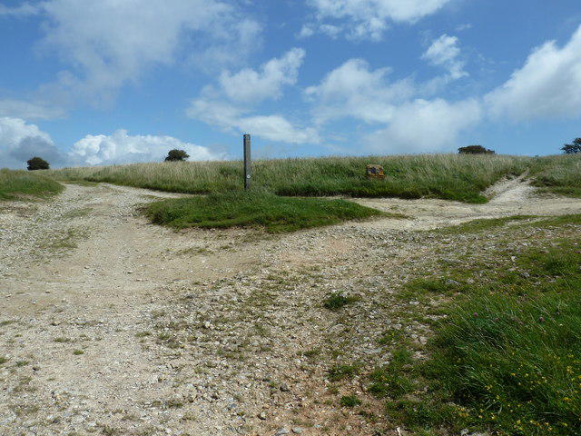 Photo could not load
TQ5700 : Junction of two long distance paths
Dave Spicer
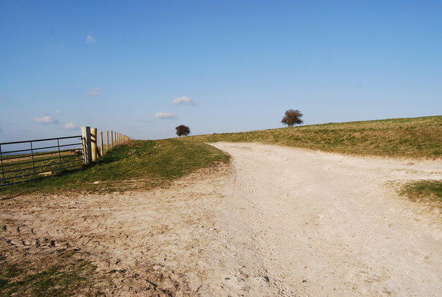 Photo could not load
TQ5700 : The Wealdway, Bourne Hill
N Chadwick
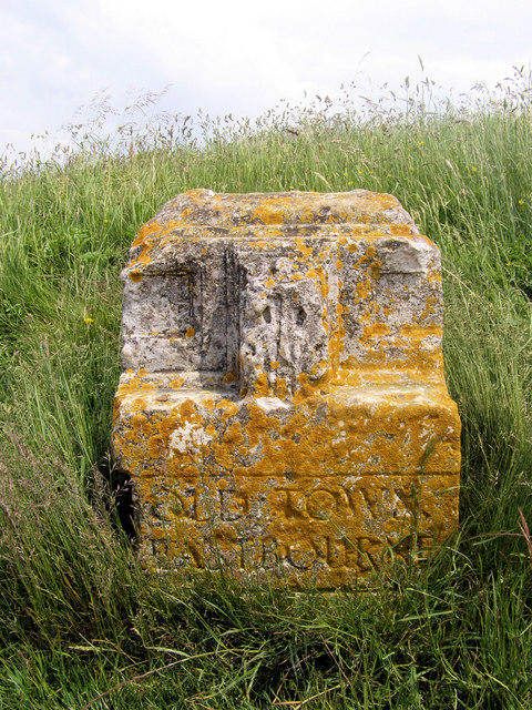 Photo could not load
TQ5700 : Stone Signpost, The Crossroads, Bourne Hill, Eastbourne, East Sussex
Kevin Gordon
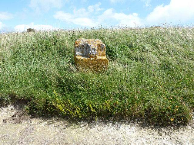 Photo could not load
TQ5700 : Boundary stone for Old Town Eastbourne
Dave Spicer
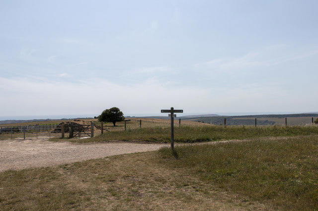 Photo could not load
TQ5700 : Signpost showing the route of the South Downs Way
Adrian Diack
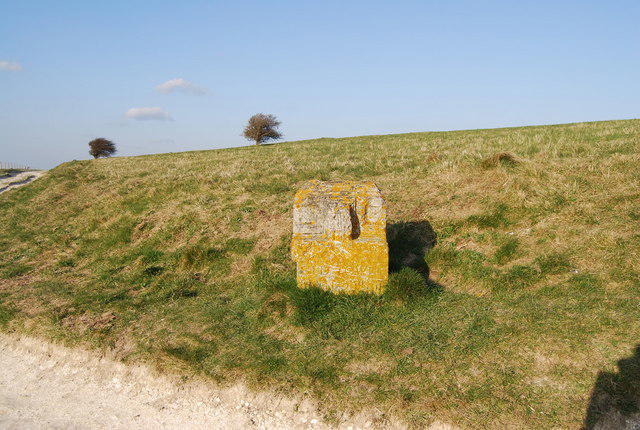 Photo could not load
TQ5700 : Stone waymark, crossroads above Jevington
N Chadwick
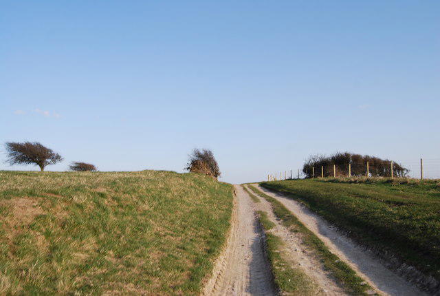
TQ5700 : The South Downs Way, Bourne Hill
N Chadwick
Hill facts and local notes
Classifications
Elevation
201m
659 ft
Prominence
110m
Coordinates
50.7867, 0.2360
TQ577009
OS Map
199
Explorer: OL25 123
At the Summit
At the summit, you will find an iconic trig point which serves as a great landmark and a perfect spot for photo opportunities. There are also some lovely wildflowers that grace the summit area during the spring.
Terrain & Geology
Willingdon Hill is primarily composed of chalk and flint, typical of the South Downs region, which offers fascinating insights into the area's geological history formed during the late Cretaceous period.
Views & Scenery
From the summit, one can see the English Channel, the Seven Sisters cliffs to the east, and the rolling hills of the South Downs.
History & Heritage
Name Origin
The name 'Willingdon' is derived from Old English, meaning 'Willa's Hill', while 'Hill' is straightforward in describing its geographical nature.
Historical Significance
Willingdon Hill has historical significance with evidence of human habitation, including ancient burial mounds found in the vicinity, attracting both historians and nature lovers.
Getting There & Facilities
Check current local access restrictions, parking rules and transport timetables before travelling. These notes do not confirm public access to the summit.
Parking
Eastbourne has several parking areas; the nearest is located on Grand Parade, near the seafront.
Public Transport
Eastbourne railway station is well-connected, with regular services from London and Brighton. Buses to Willingdon Hill are frequently available.
Nearby Facilities
You will find cafes and pubs in Eastbourne, and public toilets are available at various points around the town including near the seafront.
Safety Information
Known Hazards
- Watch for sudden weather changes, as conditions can change quickly in the South Downs. Additionally, be cautious of steep drops on the eastern side of the hill.
General Safety Tips
- Check weather conditions before setting out
- Carry appropriate clothing and equipment
- Let someone know your planned route
- Take a map, compass, and GPS device
- Carry emergency supplies: food, water, first aid kit, torch
Hills
Some common questions about the hills answered
Are there group walks up Willingdon Hill?
Many walkers use Walkmates to join or organise walks with others. You can check for group walks around Willingdon Hill through the maps
Are there other walkers around Willingdon Hill?
Activity varies by location and time, but Walkmates lets you see whether others have shared walks or shown interest in this area. Find other people through the walking friends search walking friends for Willingdon Hill search or of course create your own walk for Willingdon Hill
Can I organise a walk to Willingdon Hill?
Yes. If there aren’t any walks listed already, you can create a walk and make it available for others to join.
If you're signed up to Walkmates, you can create a walk to Willingdon Hill.
How do I find a walk up this hill?
There are often multiple ways to walk this hill, depending on experience and route preference. Walkmates helps you explore walks and routes that others have shared.
Can I suggest a new route up Willingdon Hill?
Yes. You can suggest or create routes to share with others. Walkmates focuses on the social side of walking, so routes are used to help people organise walks and explore areas together, rather than as detailed navigation tools or route libraries.
Other uses really appreciate knowledgeable walkers sharing their routes. Share your favourite route to Willingdon Hill here
The is an error or something incorrect about this hill. How do I let you know?
We always strive to keep the information on Walkmates as accurate as possible. If you find an error, please let us know through the contact form and we'll aim to correct it as quickly as possible
Community Discussion
Comments
Location
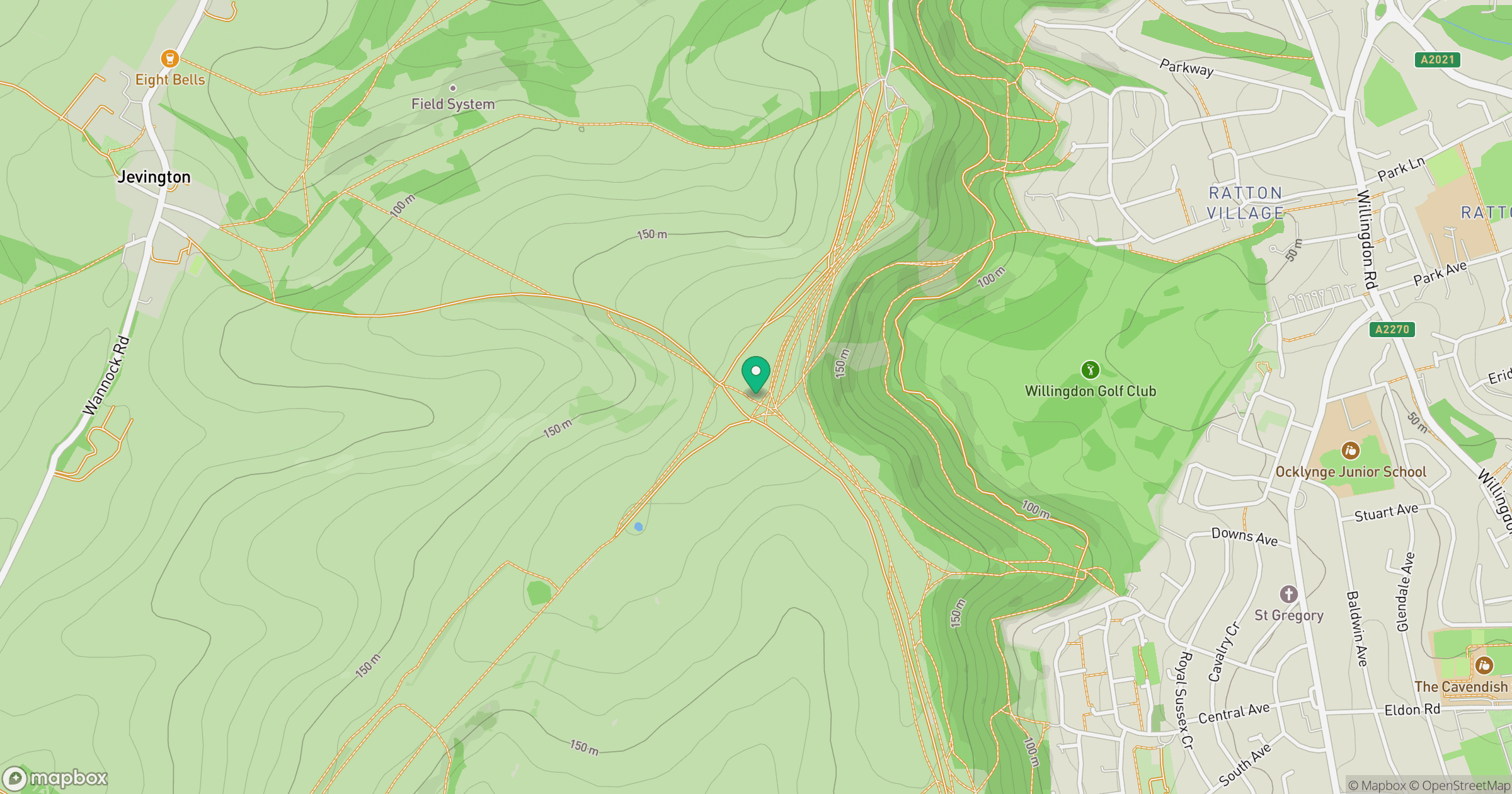
Grid reference: TQ577009
View on OpenStreetMapOpens a map in a new tab, centred on the hill.
Hills within 30 km
Straight-line distance, not a walking route or confirmation of access.
No comments yet. Be the first.