

Twr Glas
Good walks are even better shared.
SH6716 : Llyn Wylfa
Peter S Photo source
Overview
Twr Glas: A Hidden Gem in the Heart of Snowdonia
Twr Glas may not be the tallest mountain in Snowdonia, but don't let that fool you—its beauty and character make it a delightful destination for hikers of all levels.
Geology
Located amidst the dramatic landscapes characteristic of Snowdonia, Twr Glas is predominantly formed of mudstone. The geological history has left its mark on the terrain, presenting a rugged yet inviting environment. You'll find yourself traversing paths shaped by ancient glaciers, surrounded by unique flora and fauna.
Routes
One of the most rewarding ways to explore Twr Glas is by taking the Twr Glas Loop from Capel Curig. This moderate 10.5 km trail takes approximately 4.5 hours to complete, rewarding hikers with both stunning vistas and a solid workout. Be sure to pack a snack or two—those views deserve a proper celebration!
Summit Features
At the top, you'll be greeted by a charming stone cairn that signals your achievement. It's a perfect spot to catch your breath, enjoy a packed lunch, and take in the breathtaking views. Just be sure to watch out for the sheep; they seem to think they own the place!
Terrain Type
The route to Twr Glas features a mix of rugged rocks and grassy patches. While most paths are manageable, it's wise to wear sturdy hiking boots and be cautious of the occasionally boggy areas that can surprise the unprepared!
Views
When you reach the summit, prepare for jaw-dropping views. The sights of nearby peaks, including Snowdon and Moel Siabod, create a spectacular panorama. The best seasons to visit are spring and early summer when the skies are usually clear, and wildflowers are in full bloom. Autumn paints the landscape in vibrant hues, but be prepared for showers.
Hazards
As with many mountain hikes, there are hazards to be mindful of. Slippery rocks and unpredictable weather can be a challenge, so always check conditions beforehand and pack appropriately.
Access
Getting to Twr Glas is easy! The nearest parking is available at Capel Curig, where you'll find free parking. Public transport is also an option, with bus services running regularly from Betws-y-Coed. This quaint village will ensure you have all you need for a successful hiking trip.
Facilities
For refreshments, Capel Curig offers a couple of friendly cafes to revitalize your energy reserves before or after your hike. Restrooms are conveniently located near the parking area.
History
The name 'Twr Glas' translates to 'Blue Tower', a fitting description for its striking appearance against the backdrop of the sky. The area has historical significance related to local shepherding and ancient trade routes that crisscrossed these hills.
So pack your bags, lace up your boots, and make your way to Twr Glas—you won’t regret it. Who knows, you might even meet a few sheep along the way!
Explore routes near Twr Glas
Walks starting near this hill. Open a route to check its map, distance and full itinerary.
Cadair Idris - Pony Path
View route
Mawddach Trail: Penmaenpool to Dolgellau Riverside Return
View route
Mawddach Trail: Penmaenpool to Arthog Estuary Return
View route
Coed y Brenin: Pont Ty'n-y-groes and Mawddach Forest Trail
View route
Route planning notes
These notes describe possible approaches. Check a route's map and access information when planning your walk.
Twr Glas Loop from Capel Curig
A scenic loop trail that offers panoramic views of the surrounding mountains and valleys, perfect for a full day of exploration.
Make a day of it, together
Find someone to share the walk with, or organise a day out along a route you like.
Photo Gallery
View all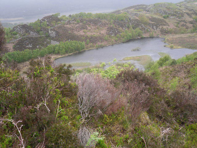 Photo could not load
SH6716 : Llyn Wylfa
Peter S
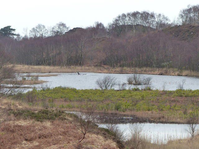 Photo could not load
SH6716 : Geese on Llyn Wylfa
liz dawson
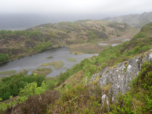 Photo could not load
SH6716 : Llyn Wylfa
Peter S
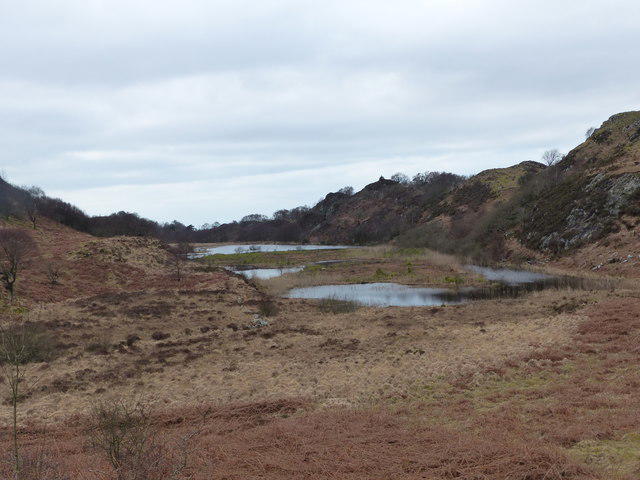 Photo could not load
SH6716 : Llyn Wylfa
liz dawson
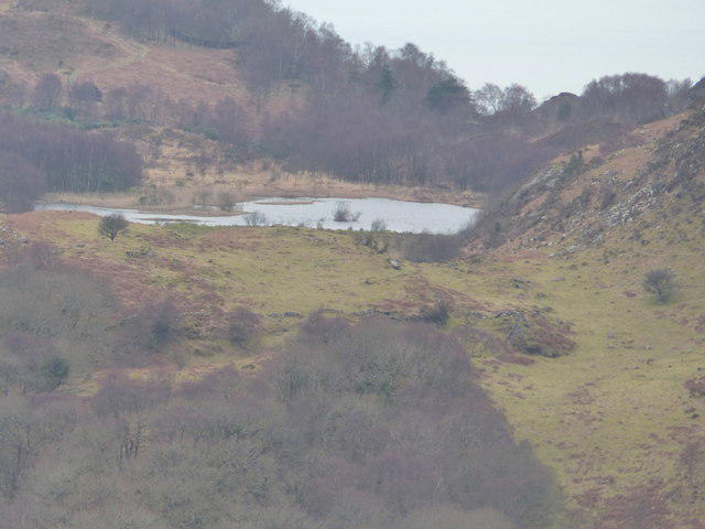 Photo could not load
SH6716 : Llyn Wylfa taken from Craig y Castell
liz dawson
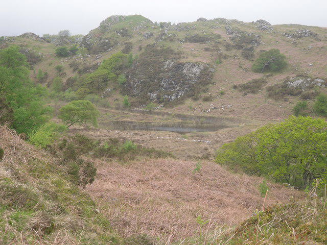 Photo could not load
SH6716 : Llyn Wylfa
Peter S
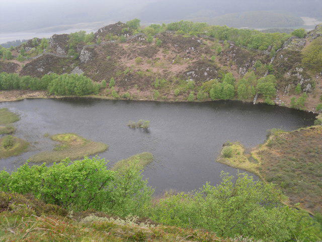 Photo could not load
SH6716 : Llyn Wylfa
Peter S
Hill facts and local notes
Classifications
Elevation
228m
748 ft
Prominence
34m
Coordinates
52.7293, -3.9678
SH672164
OS Map
124
Explorer: OL18W OL23W
At the Summit
The summit boasts a small stone cairn which proudly marks the highest point, an ideal spot for a well-earned rest and a few selfies.
Terrain & Geology
Twr Glas is primarily composed of mudstone, which is typical of the region and contributes to its unique local ecosystem. The mudstones have been shaped by glacial processes, leaving behind rugged terrain and scenic valleys.
Views & Scenery
From the summit, you can catch breathtaking glimpses of Snowdon, Moel Siabod, and the expansive landscape of the Ogwen Valley, along with beautiful lakes dotting the scenery.
History & Heritage
Name Origin
The name 'Twr Glas' translates to 'Blue Tower', which is thought to refer to the distinctive blue hues of the landscape when viewed from a distance.
Historical Significance
Historically, the area around Twr Glas has been significant for local shepherding and has ties to ancient pathways used by traders in the region.
Getting There & Facilities
Parking
Capel Curig has a car park with ample space for hikers. Parking is free, but it can fill up quickly on sunny weekends.
Public Transport
The nearest bus service operates regularly from Betws-y-Coed to Capel Curig.
Nearby Facilities
There are a couple of cafes in Capel Curig offering hot meals and refreshments, as well as public toilets near the car park.
Safety Information
Known Hazards
- Slippery rocks, sudden weather changes, and steep descents in certain areas.
General Safety Tips
- Check weather conditions before setting out
- Carry appropriate clothing and equipment
- Let someone know your planned route
- Take a map, compass, and GPS device
- Carry emergency supplies: food, water, first aid kit, torch
Hills
Some common questions about the hills answered
Are there group walks up Twr Glas?
Many walkers use Walkmates to join or organise walks with others. You can check for group walks around Twr Glas through the maps
Are there other walkers around Twr Glas?
Activity varies by location and time, but Walkmates lets you see whether others have shared walks or shown interest in this area. Find other people through the walking friends search walking friends for Twr Glas search or of course create your own walk for Twr Glas
Can I organise a walk to Twr Glas?
Yes. If there aren’t any walks listed already, you can create a walk and make it available for others to join.
If you're signed up to Walkmates, you can create a walk to Twr Glas.
How do I find a walk up this hill?
There are often multiple ways to walk this hill, depending on experience and route preference. Walkmates helps you explore walks and routes that others have shared.
Can I suggest a new route up Twr Glas?
Yes. You can suggest or create routes to share with others. Walkmates focuses on the social side of walking, so routes are used to help people organise walks and explore areas together, rather than as detailed navigation tools or route libraries.
Other uses really appreciate knowledgeable walkers sharing their routes. Share your favourite route to Twr Glas here
The is an error or something incorrect about this hill. How do I let you know?
We always strive to keep the information on Walkmates as accurate as possible. If you find an error, please let us know through the contact form and we'll aim to correct it as quickly as possible
Community Discussion
Comments
Location
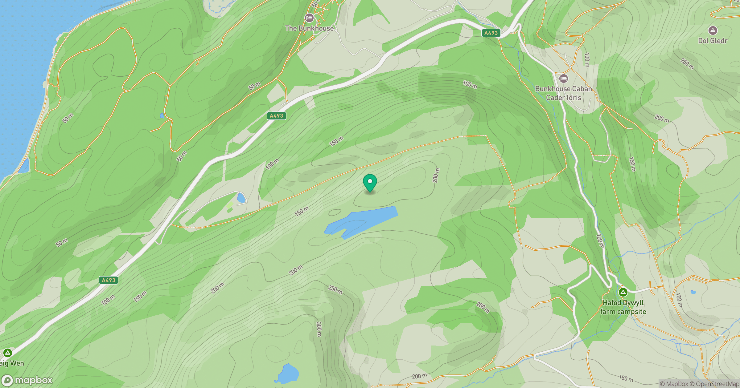
Grid reference: SH672164
View on OpenStreetMapOpens a map in a new tab, centred on the hill.
No comments yet. Be the first.