

The Tors
Good walks are even better shared.
SK3453 : Drystone wall, the Tors, Crich
John H Darch Photo source
Overview
Exploring The Tors
Tucked away in the heart of the Peak District lies The Tors, a Marilyn that beckons outdoor enthusiasts with its stunning rocky outcrops and splendid vistas. Standing at 498 meters, it's not the highest peak in the area, but its unique charm and accessibility make it a favourite among walkers and climbers alike.
Geology
Formed primarily from gritstone, The Tors showcases nature's artistry. With its layer upon layer of rock, worn smooth by wind and water, it's a geologist's playground. Just don't forget to keep your eyes on the path while you ponder the wonder of centuries of erosion!
Routes
The recommended route from The Roaches is a delightful 7 km loop that can be tackled in about 3.5 hours—you might even have time to pause for a biscuit or two! Keep an eye out for the unique rock formations along the way.
Summit Features
As you reach the summit, look for the impressive cairn and the trig point that makes it hard to miss as you scramble to the top! It's a popular spot for taking selfies, so prepare yourself for photobombing by the landscape.
Terrain
The terrain combines rocky climbs with some grassy patches, providing a satisfying challenge without being too daunting. Just be careful on the slippery bits—it’s not a race!
Views
From the summit, prepare for a jaw-dropper! The views stretch across the Peak District, with the rolling hills of Chrome Hill and other landmarks popping into view. Clear spring or autumn days are the best for this visual feast, so don those hiking boots and get out there!
Hazards
Remember, as beautiful as it is, the rocky terrain can be challenging, especially when it’s wet. Stay on your toes (literally) and keep an eye on your surroundings.
Nearby Summits
Don’t miss the chance to explore nearby summits like Hen Cloud and Ramshaw Rocks, both offering excellent views and great climbing opportunities.
Access
Finding The Tors is straightforward: park at the well-signposted car park near The Roaches using postcode ST13 8UH. If you’re relying on buses, there are services from Leek and Buxton, but do remember that you’ll need to hike a bit from the bus stop.
Facilities
Once you’re done conquering The Tors, reward yourself with a visit to the nearby café for a much-deserved drink and a slice of cake—because calories don't count on adventure days, right?
History
The etymology of 'Tors' brings a sense of ancient charm, reflecting its character as a dramatic rock outcrop after centuries of history. It remains a beloved site steeped in both natural beauty and cultural significance, attracting nature lovers and climbers alike.
In short, The Tors is a gem of the Peak District with the promise of adventure, views, and perhaps the odd knee scrape if you're not careful. Embrace the experience, and happy hiking!
Explore routes near The Tors
Walks starting near this hill. Open a route to check its map, distance and full itinerary.
Cromford Canal to Whatstandwell: towpath return
View route
Cromford Canal guided walk
View route
Cromford Canal guided walk
View route
Cromford Canal guided walk
View route
Route planning notes
These notes describe possible approaches. Check a route's map and access information when planning your walk.
From The Roaches
A scenic loop starting from the well-known Roaches area, offering fantastic views of both the Tors and surrounding countryside.
Make a day of it, together
Find someone to share the walk with, or organise a day out along a route you like.
Photo Gallery
View all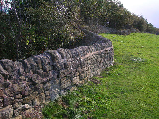 Photo could not load
SK3453 : Drystone wall, the Tors, Crich
John H Darch
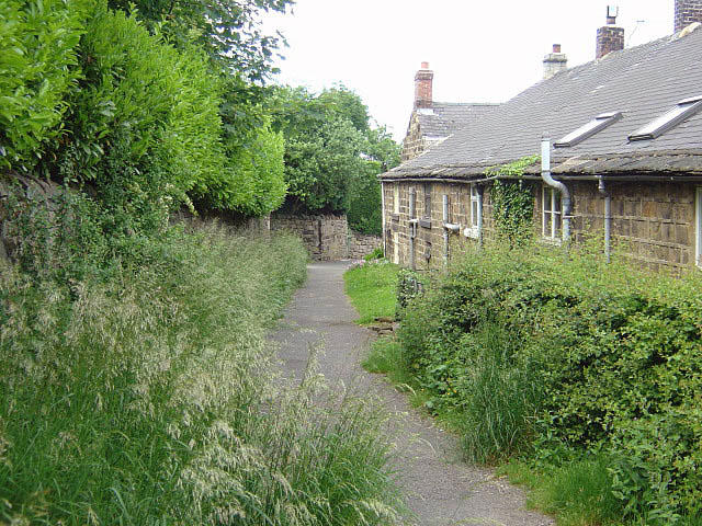 Photo could not load
SK3553 : Footpath between New Road and Chapel Lane
Alan Murray-Rust
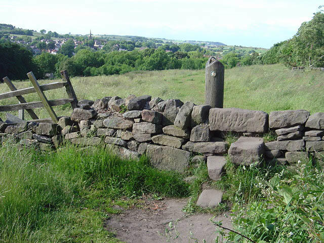 Photo could not load
SK3453 : Stile on The Tors
Alan Murray-Rust
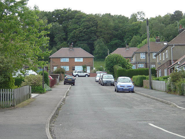 Photo could not load
SK3553 : New Road
Alan Murray-Rust
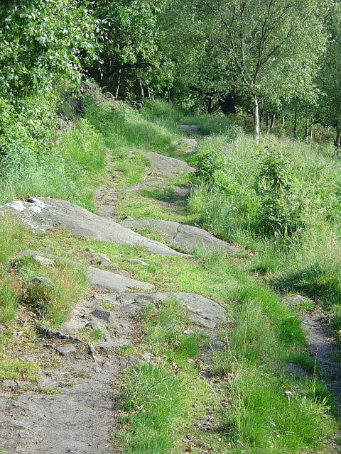 Photo could not load
SK3453 : Outcropping sandstone on The Tors
Alan Murray-Rust
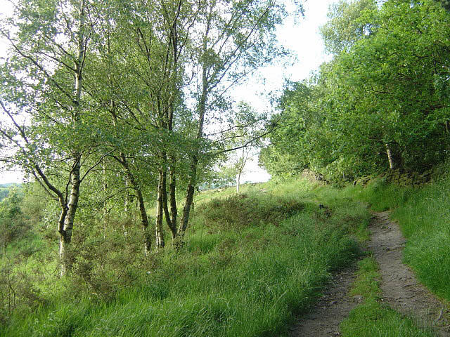 Photo could not load
SK3453 : On The Tors
Alan Murray-Rust
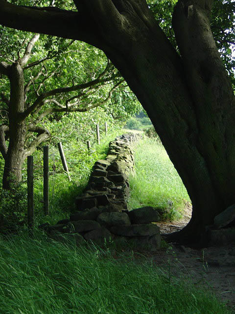 Photo could not load
SK3453 : Tight squeeze
Alan Murray-Rust
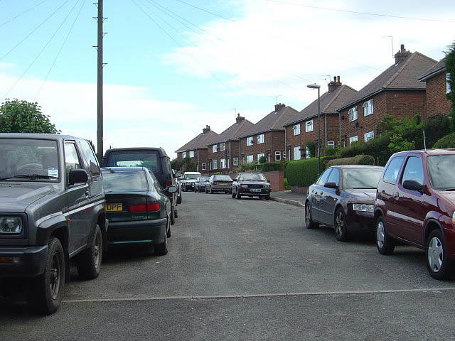 Photo could not load
SK3453 : New Road
Alan Murray-Rust
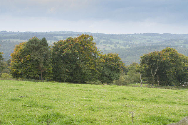 Photo could not load
SK3453 : Autumn colour
Malcolm Neal
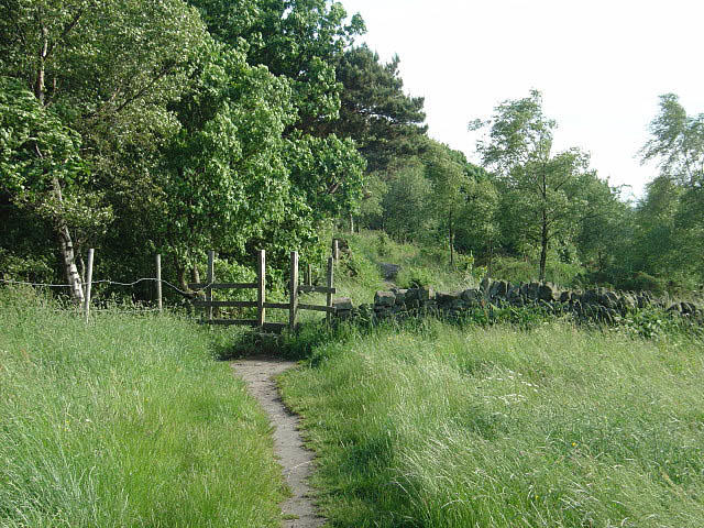 Photo could not load
SK3453 : Stile on The Tors
Alan Murray-Rust
Hill facts and local notes
Classifications
Elevation
236m
774 ft
Prominence
31m
Coordinates
53.0784, -1.4808
SK348535
OS Map
119
Explorer: OL24E 269
At the Summit
The summit boasts a large cairn and distinctive rock formations that make for excellent photo opportunities. You may also find a trig point marking the highest point.
Terrain & Geology
The Tors is primarily composed of gritstone, which has been shaped over millennia by natural forces. This durable rock forms striking and unique outcrops, adding to the area's rugged beauty.
Views & Scenery
From the summit, you can enjoy panoramic views of the Peak District, including the distant hills of Chrome Hill and the expansive moors.
History & Heritage
Name Origin
The name 'Tors' comes from old English meaning rocky outcrop, a fitting description given the area's terrain.
Historical Significance
The Tors have long been a site of interest for climbers and nature enthusiasts, contributing to local folklore and history.
Getting There & Facilities
Parking
Parking is available at the entrance to the Roaches, with a well-signposted car park. Use the postcode ST13 8UH for your GPS.
Public Transport
Buses from Leek and Buxton serve the area, but be prepared for a bit of a walk to reach the trails.
Nearby Facilities
There is a lovely café at the Roaches, perfect for warming up with a hot drink after your hike. Toilets are available at the visitor centre.
Safety Information
Known Hazards
- Rocky terrain can be slippery when wet. Watch your step and mind the edges near the tors themselves.
General Safety Tips
- Check weather conditions before setting out
- Carry appropriate clothing and equipment
- Let someone know your planned route
- Take a map, compass, and GPS device
- Carry emergency supplies: food, water, first aid kit, torch
Hills
Some common questions about the hills answered
Are there group walks up The Tors?
Many walkers use Walkmates to join or organise walks with others. You can check for group walks around The Tors through the maps
Are there other walkers around The Tors?
Activity varies by location and time, but Walkmates lets you see whether others have shared walks or shown interest in this area. Find other people through the walking friends search walking friends for The Tors search or of course create your own walk for The Tors
Can I organise a walk to The Tors?
Yes. If there aren’t any walks listed already, you can create a walk and make it available for others to join.
If you're signed up to Walkmates, you can create a walk to The Tors.
How do I find a walk up this hill?
There are often multiple ways to walk this hill, depending on experience and route preference. Walkmates helps you explore walks and routes that others have shared.
Can I suggest a new route up The Tors?
Yes. You can suggest or create routes to share with others. Walkmates focuses on the social side of walking, so routes are used to help people organise walks and explore areas together, rather than as detailed navigation tools or route libraries.
Other uses really appreciate knowledgeable walkers sharing their routes. Share your favourite route to The Tors here
The is an error or something incorrect about this hill. How do I let you know?
We always strive to keep the information on Walkmates as accurate as possible. If you find an error, please let us know through the contact form and we'll aim to correct it as quickly as possible
Community Discussion
Comments
Location
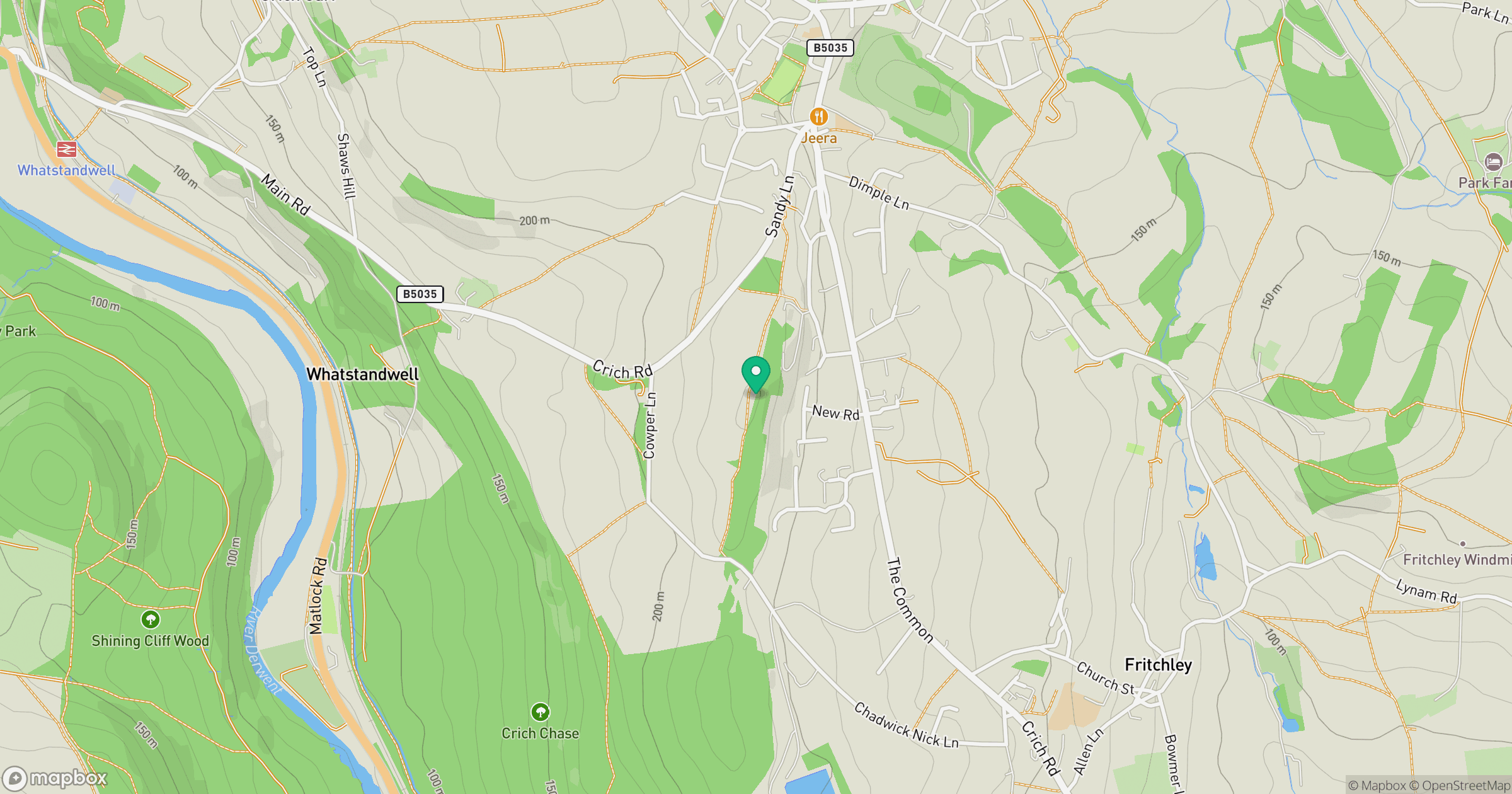
Grid reference: SK348535
View on OpenStreetMapOpens a map in a new tab, centred on the hill.
Nearby Hills

Kinder Scout
636m
The Roaches
505m
Rombalds Moor [Ilkley Moor]
402m

Pendle Hill
557m

The Wrekin
407m
No comments yet. Be the first.