

The Dodd
Good walks are even better shared.
NY7845 : Moorland around Wellhopehead below The Dodd
Mike Quinn Photo source
Overview
The Dodd: A Hidden Gem in the Lake District
Nestled in the heart of the Lake District, The Dodd offers an accessible and charming hike for those looking to escape the daily grind. Standing at 549 meters, it might not be the tallest, but it certainly packs a punch when it comes to views!
Geology
The Dodd is a marvel of volcanic origin, formed from ancient lava flows which now create the unique landscapes we see today. As you traverse its slopes, you'll notice how the geology transitions from dense, wooded areas to open grassy heights. Keep an eye out for glacial features that tell the story of its dramatic past. A true testament to Mother Nature's creativity!
The Route
Most hikers choose to start at Dodd Woods. The path is well-marked, winding through enchanting forest landscapes and offering glimpses of the fells peeking through the trees. It’s a moderate trek, perfect for a Sunday ramble. Just be sure to keep your eyes peeled for the cheeky squirrels seemingly staging their own version of The Great Escape.
Summit Features
At the summit, a proud trig point beckons you to take the quintessential summit selfie. The site also features a stone shelter, perfect for enjoying a well-earned snack while soaking in the views of Bassenthwaite Lake and the surrounding fells.
Views
The vistas from The Dodd are simply spectacular. On a clear day, you can gaze upon the majestic Skiddaw and Blencathra, among others. The best views are during the early morning or late autumn when the morning mist enshrouds the valleys below.
Hazards
While the paths are generally straightforward, do keep an eye on the weather. After a rain shower, the trails can be quite slippery, so sturdy footwear is a must. And, as always, keep an eye out for any curious wildlife that might cross your path!
Access
You have a couple of options for reaching the trailhead. Driving to Dodd Woods provides parking facilities, but it can fill up fast during the busy periods. Alternatively, buses from Keswick can get you within a reasonable walking distance if you fancy leaving the car behind.
Facilities
Before or after your hike, pop into one of the lovely cafes in Keswick for a warming cuppa or a hearty meal. Dodd Woods also has picnic areas where you can enjoy a packed lunch amidst nature.
History
The name ‘The Dodd’ may sound simple, but it tells a rich story of its geological past. It has captured the hearts of walkers for generations, ensuring that its allure continues today.
So lace up those boots and get ready to enjoy a glorious day out at The Dodd! It may not be the tallest, but it'll certainly leave a mark on your hiking memories.
Explore routes near The Dodd
Walks starting near this hill. Open a route to check its map, distance and full itinerary.
Blanchland Geotrail
View route
Allen Banks and Morralee Tarn
View route
Haydon Bridge John Martin Northern Trail
View route
Stanhope, the River Wear and the Fossil Tree
View route
Route planning notes
These notes describe possible approaches. Check a route's map and access information when planning your walk.
The Dodd from Dodd Woods
A popular route starting from Dodd Woods, meandering through lush forestry before revealing stunning views of the surrounding fells.
Make a day of it, together
Find someone to share the walk with, or organise a day out along a route you like.
Photo Gallery
View all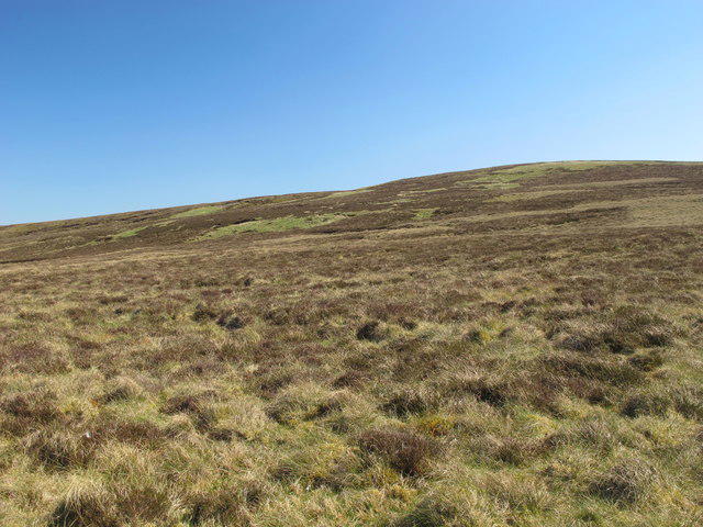 Photo could not load
NY7845 : Moorland around Wellhopehead below The Dodd
Mike Quinn
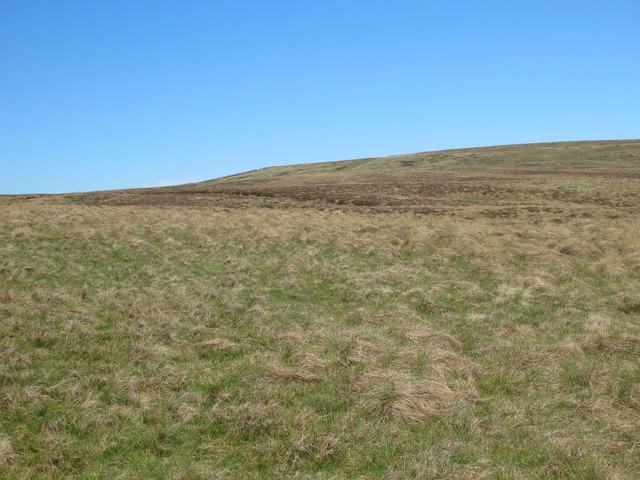 Photo could not load
NY7945 : Dodd's End
Mike Quinn
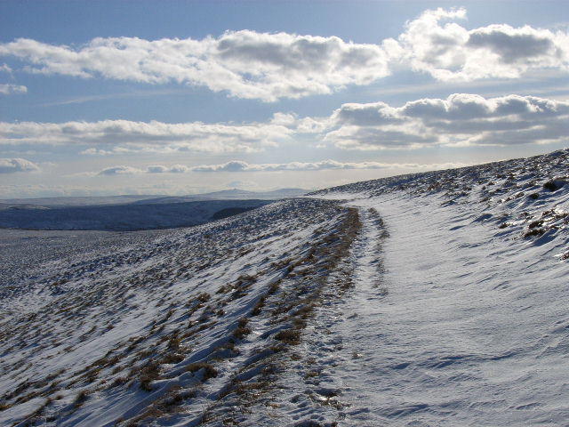 Photo could not load
NY7945 : Bridleway, Dodd's End
Andrew Smith
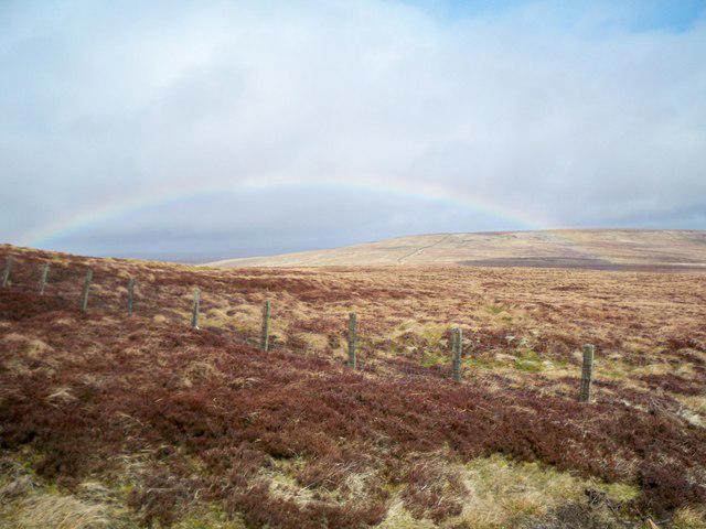 Photo could not load
NY7945 : Rainbow over Dodds End
Peter Johnson
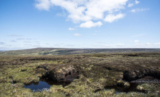 Photo could not load
NY7945 : Peat banks on The Dodd
Trevor Littlewood
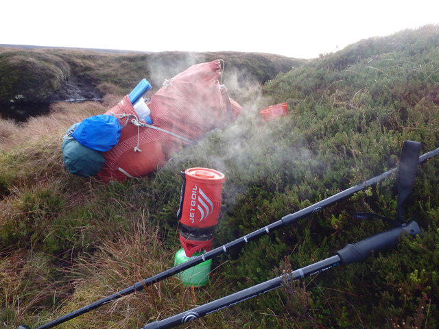 Photo could not load
NY7945 : Brew Time, The Dodd
Michael Graham
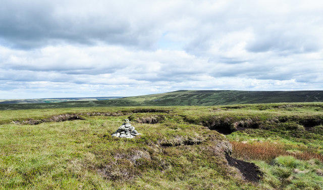 Photo could not load
NY7945 : Cairn in summit area of The Dodd
Trevor Littlewood
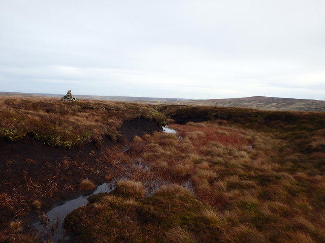 Photo could not load
NY7945 : Cairn, The Dodd
Michael Graham
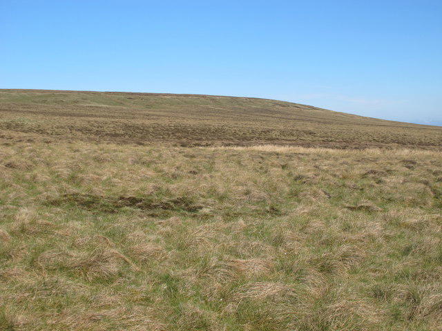 Photo could not load
NY7945 : The Dodd
Mike Quinn
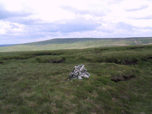
NY7945 : The Dodd
David Brown
Hill facts and local notes
Classifications
Elevation
614m
2,014 ft
Prominence
31m
Coordinates
54.8063, -2.3257
NY791457
OS Map
86 87
Explorer: OL31W
At the Summit
The summit features a proud trig point and a small stone shelter for weary travellers seeking respite. There’s a lovely view indicator to help you identify the visible landmarks.
Terrain & Geology
The Dodd is primarily composed of volcanic rock, remnants of ancient lava flows. The terrain also features dense woodland at the lower elevations, transitioning to heather and grass as you ascend. A history of glacial activity has shaped its slopes, offering gentle gradients and stirring views.
Views & Scenery
At the summit, you'll be rewarded with breathtaking views of Bassenthwaite Lake and the fells surrounding it, including Skiddaw and the northern peaks of the Lake District.
History & Heritage
Name Origin
The name ‘Dodd’ originates from Old Norse ‘dodd’, meaning a round hill or mound, which is fitting given its gentle, rounded top.
Historical Significance
Historically, The Dodd has been a favourite walking destination since the Victorian era, contributing to the Lake District's reputation as a prime hiking locale.
Getting There & Facilities
Parking
There is parking available at Dodd Wood car park, which accommodates around 20 vehicles. It's a popular spot, so aim to arrive early during peak times.
Public Transport
Buses run from Keswick to nearby villages, with the closest bus stop being about 1 mile from the trailhead.
Nearby Facilities
Dodd Woods has picnic areas and toilet facilities located near the car park. For a proper meal or refreshments, head to one of the cafes in Keswick.
Safety Information
Known Hazards
- Slippery paths, especially after rain; be cautious of uneven terrain and potential wildlife encounters.
General Safety Tips
- Check weather conditions before setting out
- Carry appropriate clothing and equipment
- Let someone know your planned route
- Take a map, compass, and GPS device
- Carry emergency supplies: food, water, first aid kit, torch
Hills
Some common questions about the hills answered
Are there group walks up The Dodd?
Many walkers use Walkmates to join or organise walks with others. You can check for group walks around The Dodd through the maps
Are there other walkers around The Dodd?
Activity varies by location and time, but Walkmates lets you see whether others have shared walks or shown interest in this area. Find other people through the walking friends search walking friends for The Dodd search or of course create your own walk for The Dodd
Can I organise a walk to The Dodd?
Yes. If there aren’t any walks listed already, you can create a walk and make it available for others to join.
If you're signed up to Walkmates, you can create a walk to The Dodd.
How do I find a walk up this hill?
There are often multiple ways to walk this hill, depending on experience and route preference. Walkmates helps you explore walks and routes that others have shared.
Can I suggest a new route up The Dodd?
Yes. You can suggest or create routes to share with others. Walkmates focuses on the social side of walking, so routes are used to help people organise walks and explore areas together, rather than as detailed navigation tools or route libraries.
Other uses really appreciate knowledgeable walkers sharing their routes. Share your favourite route to The Dodd here
The is an error or something incorrect about this hill. How do I let you know?
We always strive to keep the information on Walkmates as accurate as possible. If you find an error, please let us know through the contact form and we'll aim to correct it as quickly as possible
Community Discussion
Comments
Location
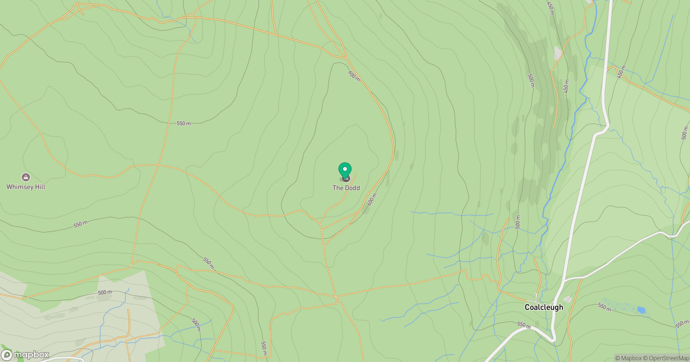
Grid reference: NY791457
View on OpenStreetMapOpens a map in a new tab, centred on the hill.



No comments yet. Be the first.