

Rosthwaite Fell - Bessyboot
Good walks are even better shared.
NY2512 : Cairn and OS Bolt on Bessyboot
David Brown Photo source
Overview
Rosthwaite Fell - Bessyboot
Nestled in the heart of the Lake District, Rosthwaite Fell - known affectionately as Bessyboot - is a gem of a mountain that attracts both seasoned climbers and casual walkers alike. At an elevation of 651 meters, it may not be the highest peak in the region, but what it lacks in stature, it more than makes up for with character and stunning views.
Geology
The fell's rocky allure comes from its volcanic origins. Composed mainly of andesite, it's undergone significant transformation thanks to glaciation, carving out the dramatic landscapes we see today. Hiking across its craggy ridges offers a fascinating glimpse into the earth's geological history.
The Ascent
The most popular route to the summit starts in the village of Rosthwaite, a charming spot that serves as a gateway to several hiking adventures. The 4.5 km trail takes you through picturesque valleys and up rocky paths. It is categorized as moderate, making it accessible yet challenging enough to provide a good leg workout.
Summit Features
Once at the top, hikers are greeted by a delightful stone cairn and a nifty viewfinder. These features not only mark the pinnacle of your efforts but also provide a perfect photo opportunity to brag about your achievement.
Terrain
Expect to encounter a variety of terrains from rocky outcrop to grassy slopes and, at times, boggy patches that may test your footwear's resolve. Always best to wear sturdy boots – nobody enjoys squelching through mud unless it's entirely unavoidable!
Views
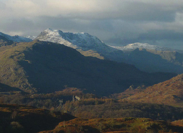
The views from Bessyboot are nothing short of spectacular. On a clear day, gaze upon the majestic Langdale Pikes, the tranquil stretch of Derwentwater, and possibly even the Scafells in the distance. For the best visual feast, aim to tackle the peak during spring or early autumn when colours are vibrant, or catch the sun rising in the early morning for a mystical atmosphere.
Hazards
While the route is well-trodden, be aware of loose rocks, especially in steeper sections. The weather can change in the blink of an eye, so pack up that waterproof jacket and some extra socks just in case you find yourself splashing through unexpected puddles!
Access and Nearby Facilities
Parking at the National Trust car park in Rosthwaite is convenient but can fill up quickly. Arrive early, or you might end up parking a fair distance away. Regular buses from Keswick make getting here easy, and after the hike, a stop at the local café is highly recommended for hot drinks and well-deserved cake. Public toilets are also available nearby.
Historical Significance
The name 'Bessyboot' has a rather whimsical touch, possibly reflecting a loving nod to a figure named Elizabeth. It has enchanted walkers since the 19th century, and its popular trails continue to inspire outdoor adventures.
Whether you're looking for a challenging outing or a peaceful day in nature, Rosthwaite Fell - Bessyboot delivers on all fronts. Pack your gear, grab your walking boots, and set off for a memorable adventure that promises remarkable views and a delightful day in the heart of the Lake District.
Happy Hiking!
Explore routes near Rosthwaite Fell - Bessyboot
Walks starting near this hill. Open a route to check its map, distance and full itinerary.
Scafell Pike from Seathwaite via the Corridor Route
View route
Bow Fell from Langdale
View route
Scafell Pike via Brown Tongue and Hollow Stones
View route
Great Carrs Halifax Wreckage from Wrynose Pass
View route
Route planning notes
These notes describe possible approaches. Check a route's map and access information when planning your walk.
Rosthwaite to Bessyboot
A scenic ascent that takes you through lush valleys and along the rocky ridges leading up to Bessyboot, offering a delightful mix of terrain.
Make a day of it, together
Find someone to share the walk with, or organise a day out along a route you like.
Photo Gallery
View all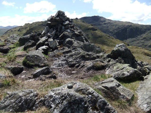 Photo could not load
NY2512 : Cairn and OS Bolt on Bessyboot
David Brown
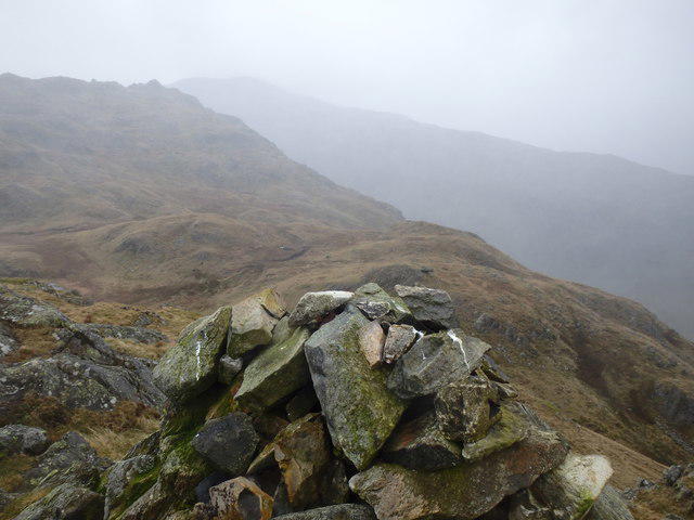 Photo could not load
NY2512 : On Bessyboot
Michael Graham
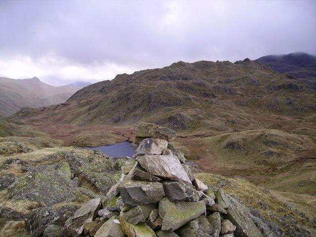 Photo could not load
NY2512 : Summit Cairn, Bessyboot
Michael Graham
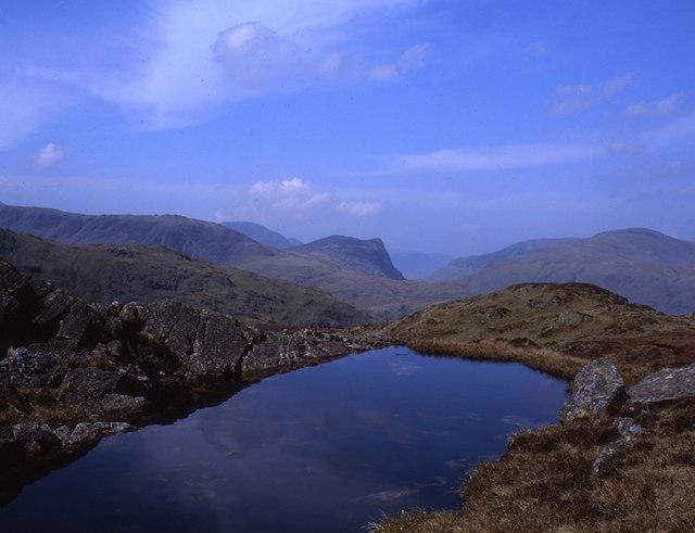 Photo could not load
NY2512 : Un-named tarn on Bessyboot
Tom Richardson
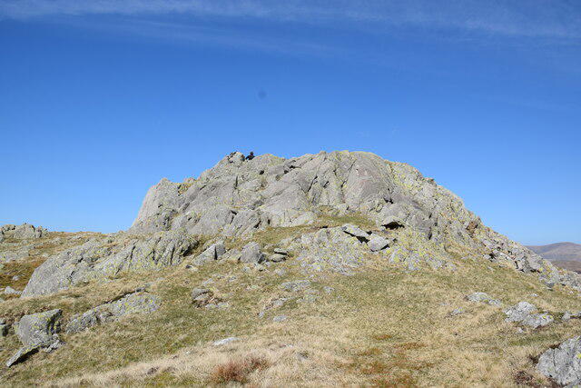 Photo could not load
NY2512 : The summit of Bessyboot
Trevor Harris
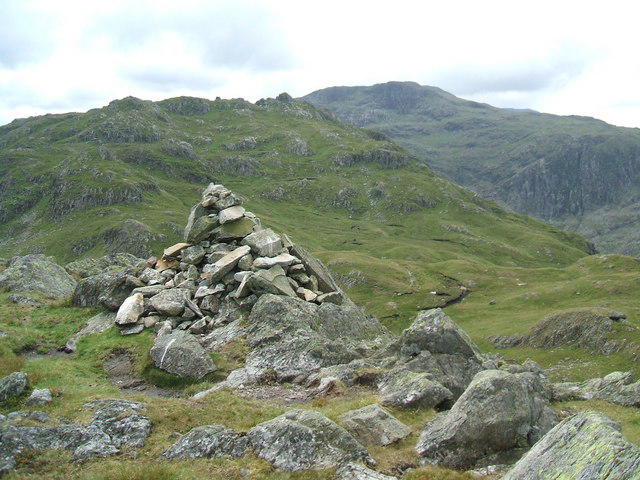 Photo could not load
NY2512 : Cairn on Bessyboot
David Brown
Hill facts and local notes
Classifications
Elevation
551m
1,808 ft
Prominence
44m
Coordinates
54.5022, -3.1469
NY258124
OS Map
89 90
Explorer: OL4S
At the Summit
The summit boasts a charming stone cairn and a stunning viewfinder, perfect for those who want to impress their friends with names of distant peaks.
Terrain & Geology
The fell is primarily composed of volcanic rock, predominantly andesite, which adds to its craggy allure. Over time, glacial activity has shaped its distinct features, leaving rocky outcrops that provide a solid footing for adventurous hikers.
Views & Scenery
From the summit, you can see the enchanting Langdale Pikes, the serene waters of Derwentwater, and even the distant Scafell range if you're lucky and the weather plays ball.
History & Heritage
Name Origin
The name 'Bessyboot' is thought to derive from 'Bessy' (a diminutive of 'Elizabeth') and 'boot', an old term for 'hill'. So, it could be Elizabeth's hill - a lovely, albeit unusual, honour!
Historical Significance
Rosthwaite Fell was appreciated by early climbers and writers in the 19th century for its dramatic scenery, and it remains a popular spot for both hikers and nature enthusiasts today.
Getting There & Facilities
Parking
The nearest parking is at the National Trust's car park in Rosthwaite, which can fill up quickly during peak season, so arrive early or risk parking down the lane and adding some extra steps to your hike.
Public Transport
Frequent buses from Keswick to Rosthwaite make it quite accessible. Check the latest schedule to avoid a long wait.
Nearby Facilities
A café in Rosthwaite offers a warm brew and delightful snacks for the weary hiker, as well as public toilets nearby.
Safety Information
Known Hazards
- Loose rocks, particularly on steeper sections, and changing weather conditions can make for tricky navigation; best to pack a spare pair of socks just in case!
General Safety Tips
- Check weather conditions before setting out
- Carry appropriate clothing and equipment
- Let someone know your planned route
- Take a map, compass, and GPS device
- Carry emergency supplies: food, water, first aid kit, torch
Hills
Some common questions about the hills answered
Are there group walks up Rosthwaite Fell - Bessyboot?
Many walkers use Walkmates to join or organise walks with others. You can check for group walks around Rosthwaite Fell - Bessyboot through the maps
Are there other walkers around Rosthwaite Fell - Bessyboot?
Activity varies by location and time, but Walkmates lets you see whether others have shared walks or shown interest in this area. Find other people through the walking friends search walking friends for Rosthwaite Fell - Bessyboot search or of course create your own walk for Rosthwaite Fell - Bessyboot
Can I organise a walk to Rosthwaite Fell - Bessyboot?
Yes. If there aren’t any walks listed already, you can create a walk and make it available for others to join.
If you're signed up to Walkmates, you can create a walk to Rosthwaite Fell - Bessyboot.
How do I find a walk up this hill?
There are often multiple ways to walk this hill, depending on experience and route preference. Walkmates helps you explore walks and routes that others have shared.
Can I suggest a new route up Rosthwaite Fell - Bessyboot?
Yes. You can suggest or create routes to share with others. Walkmates focuses on the social side of walking, so routes are used to help people organise walks and explore areas together, rather than as detailed navigation tools or route libraries.
Other uses really appreciate knowledgeable walkers sharing their routes. Share your favourite route to Rosthwaite Fell - Bessyboot here
The is an error or something incorrect about this hill. How do I let you know?
We always strive to keep the information on Walkmates as accurate as possible. If you find an error, please let us know through the contact form and we'll aim to correct it as quickly as possible
Community Discussion
Comments
Location
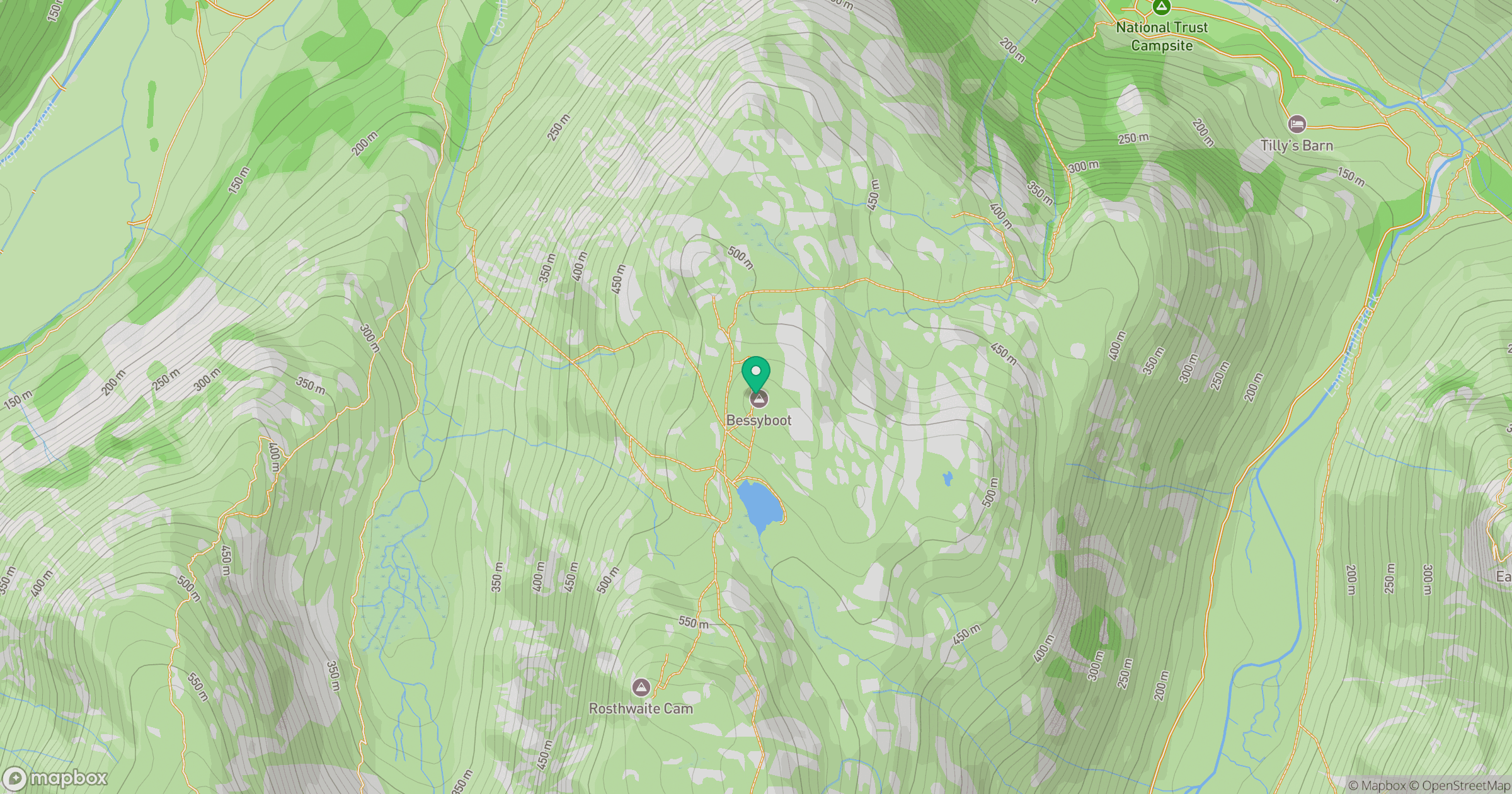
Grid reference: NY258124
View on OpenStreetMapOpens a map in a new tab, centred on the hill.
Nearby Hills
Glaramara
783m
Esk Pike
885m
Bowfell
903m
Crinkle Crags - Long Top [Second Crinkle]
859m

Great Gable
899m
No comments yet. Be the first.